2020s Maps of Brazos County, Texas
Explore 19 historic maps of Brazos County from the 2020s. These maps offer a rare glimpse into what life looked like during the 2020s — showing old roads, neighborhoods, homes, and landmarks that have changed or disappeared over time.
Whether you're researching your family's past, planning a metal detecting trip, or studying how Brazos County's landscape evolved across the 2020s, these high-resolution maps are a powerful tool for exploring the history of this region.
- Focus on a specific era: All maps on this page are from the 2020s, giving you a focused view of this time period.
- See what’s changed: Compare century-old streets, trails, and buildings to today's modern landscape using overlays and satellite layers.
- Research with precision: Use these maps for genealogy, historical research, land use analysis, or educational projects.
- View, download, or print: Maps are fully viewable online in high resolution, and can be downloaded or printed for your own records.
Start exploring Brazos County's history through authentic maps from the 2020s. This is your window into the past.
Brazos County, TX maps
(19)- 2022 Map of Mumford, 2022 Print
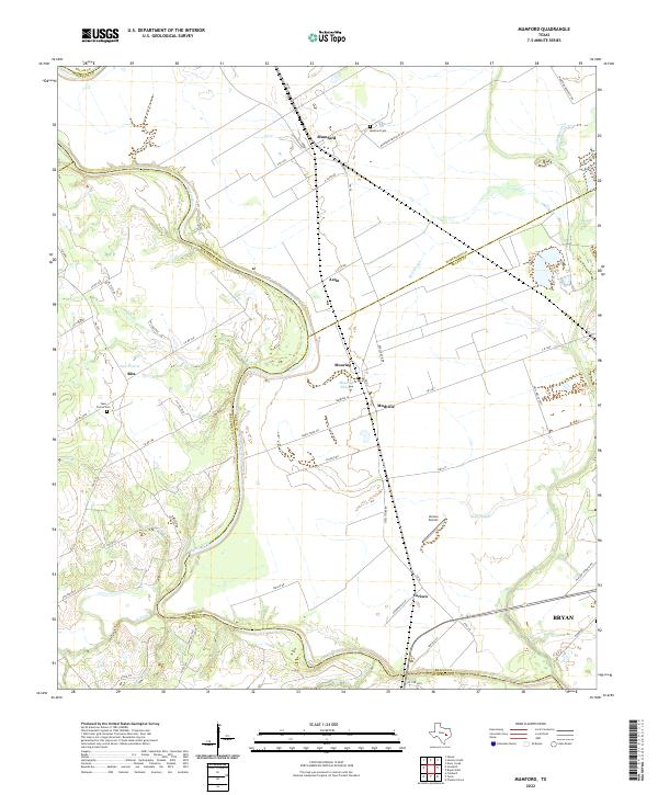 2022 Mumford2022 Print · USGSThe Brazos River bottomlands in the early twenty-first century reveal a landscape of enduring agricultural settlements and complex river hydrology. Genealogists and local historians can trace family-named sites like Teals Prairie Cem, Varisco Airport, and the community of Mudville.
 - 2022 Map of Clay, 2022 Print
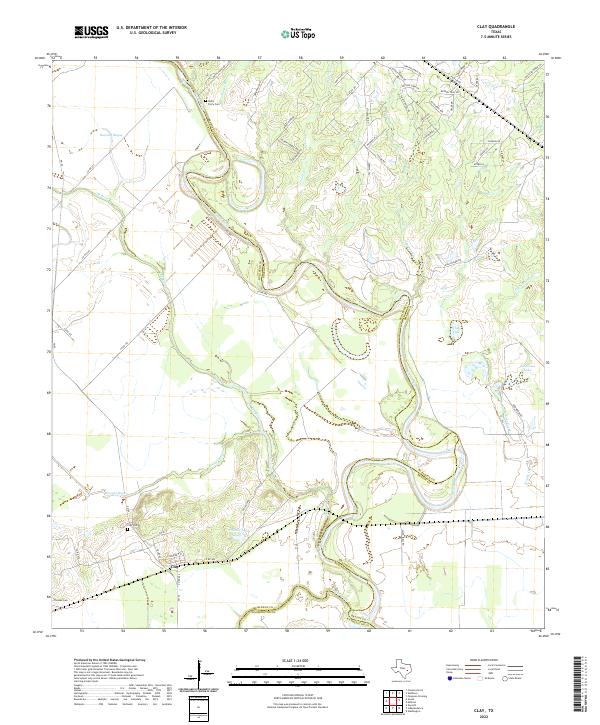 2022 Clay2022 Print · USGSThe Brazos River valley at the Burleson and Washington county lines is captured here in recent years. Genealogists can locate Botts Ferry Cem and Clay Cem, while tracing the shifting banks of Buzzard Bayou.
 - 2022 Map of Clear Lake, 2022 Print
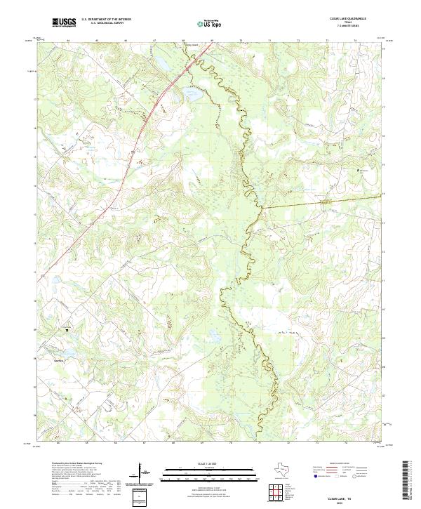 2022 Clear Lake2022 Print · USGSIn this contemporary Brazos County landscape, the meandering Navasota River marks the eastern county lines. Researchers can trace local history through the Williamson Cem, the settlement of Kurten, and prominent water bodies like Clear Lake.
 - 2022 Map of Wheelock, 2022 Print
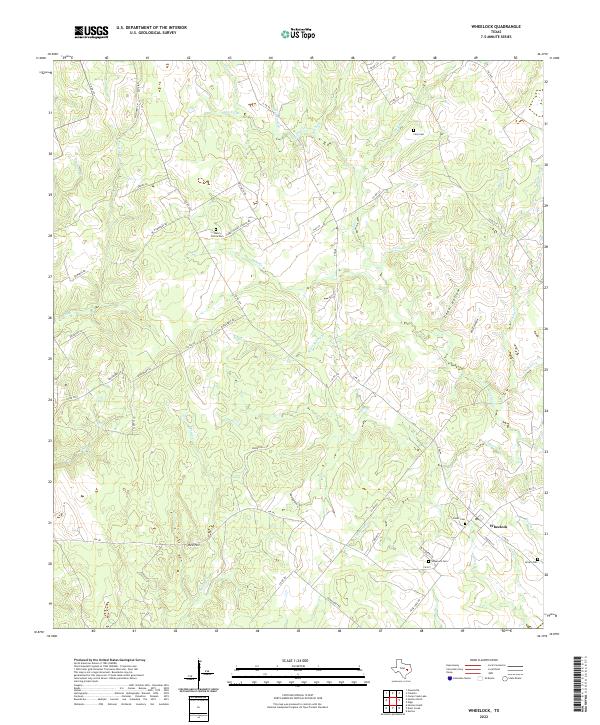 2022 Wheelock2022 Print · USGSThe rural crossroads of Wheelock in the early 2020s remain anchored by their historic cemeteries and winding creek drainages. Genealogists can trace family footprints at Henry Prairie Cem, Cavitt Cem, and along the banks of Copperas Creek.
 - 2022 Map of Independence, 2022 Print
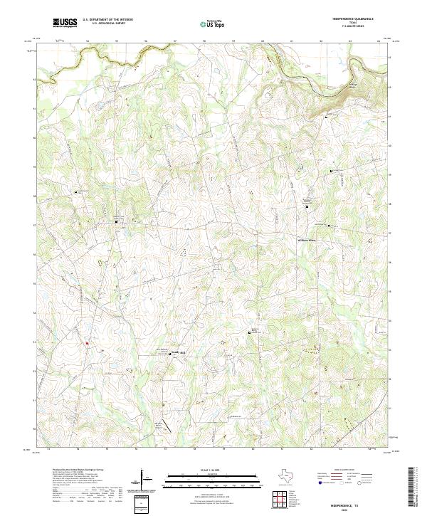 2022 Independence2022 Print · USGSWashington County in the early twenty-first century retains its rural character along the Brazos River. Researchers can trace old family lineages through the Houston-Lea Family Cem and small communities like William Penn and Sandy Hill.
 - 2022 Map of Edge, 2022 Print
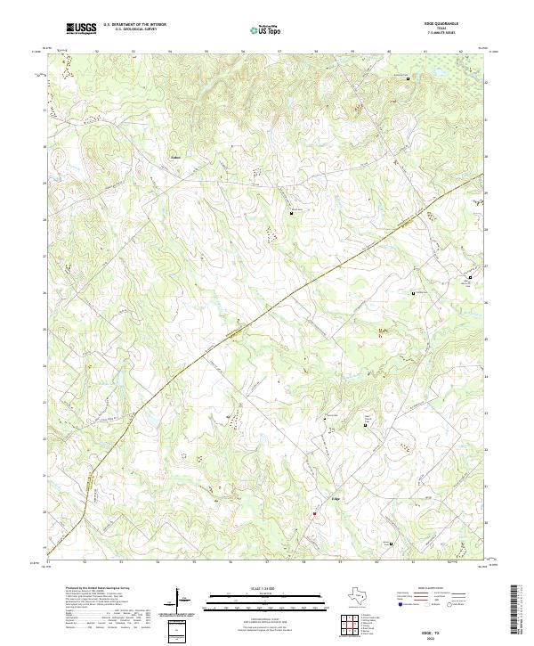 2022 Edge2022 Print · USGSThe rural borderlands of Robertson and Brazos Counties are captured here in the early 2020s, showing a landscape defined by family ranching and small communities. Researchers can trace ancestral locations through numerous burial sites like Shiloh Cem, Concord Cem, and the old Old Spanish Rd.
 - 2022 Map of Canary, 2022 Print
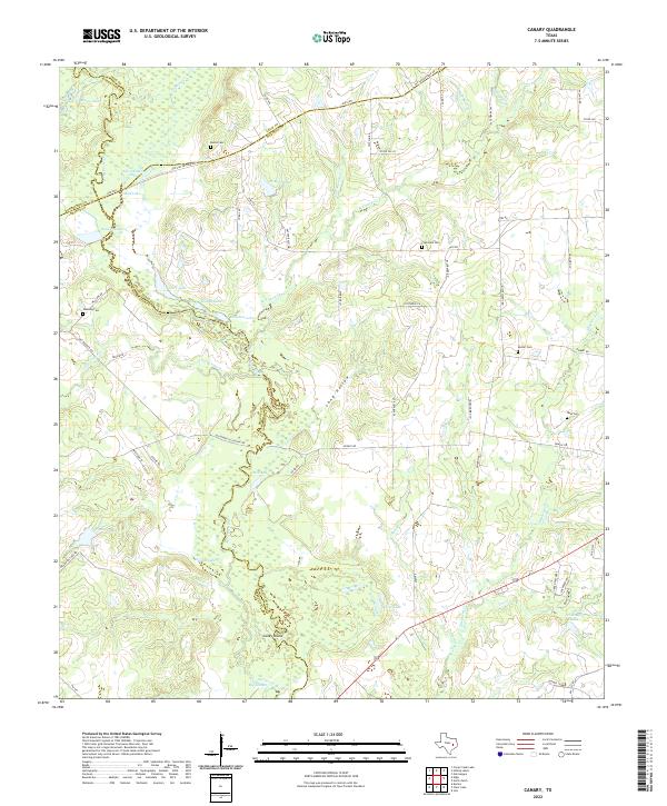 2022 Canary2022 Print · USGSThe Navasota River bottomlands in the early 2020s reveal a landscape of dense wetlands and historic transit corridors. Genealogists and local historians can trace rural family legacies at Burns Cem, Plainview Cem, and along the historic OSR Hwy.
 - 2022 Map of Washington, 2022 Print
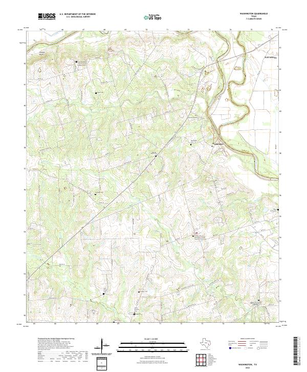 2022 Washington2022 Print · USGSNear the meeting point of the Brazos and Navasota rivers in the early 2020s, this landscape preserves a deep network of rural heritage. Genealogists can trace family and community history through numerous burial sites like Whiting Family Cem and Soul Chapel Cem.
 - 2022 Map of Kurten, 2022 Print
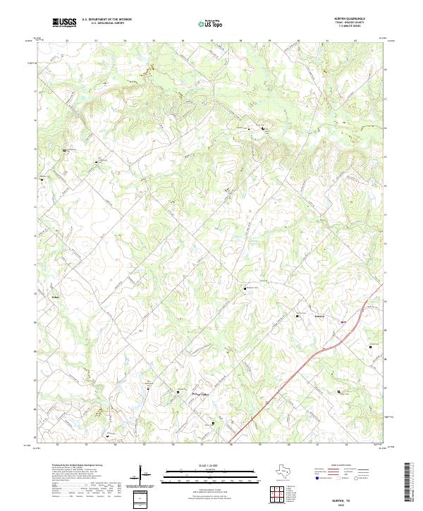 2022 Kurten2022 Print · USGSBrazos County settlement patterns are preserved here in the early twenty-first century, showing the rural communities of Kurten and Wixon Valley. Researchers can trace numerous family burial sites, including Old Cottonwood Cem and Jim Harris Cem.
 - 2022 Map of Dunn Creek, 2022 Print
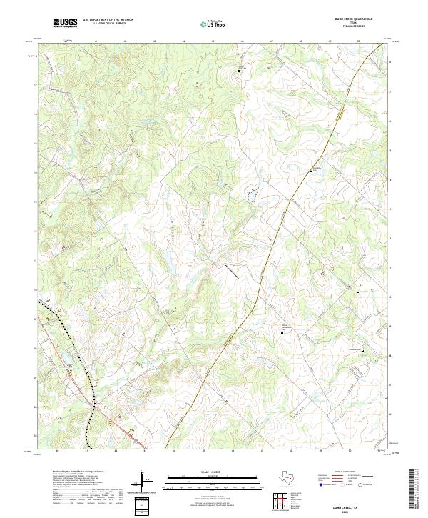 2022 Dunn Creek2022 Print · USGSModern Robertson and Brazos counties retain their rural character in this recent survey of the Texas post-oak savannah. Genealogists and local historians can trace legacy land use through several family-named burial sites, including Dunns Fort Cem, Walker Settlement Cem, and Alexander Cem.
 - 2022 Map of Chances Store, 2022 Print
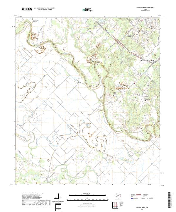 2022 Chances Store2022 Print · USGSThe Brazos River bottomlands west of Bryan and College Station come into sharp focus in this recent survey. Local historians can trace family landmarks like the Newsome Cem and Clayton Baptist Church amidst the winding channels of Old River.
 - 2022 Map of Tunis, 2022 Print
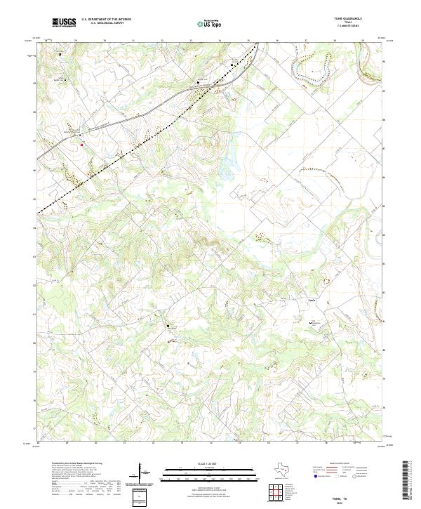 2022 Tunis2022 Print · USGSBurleson County, Texas, is mapped here in the early twenty-first century, showcasing a rural landscape defined by the Brazos River and Tunis. Genealogists will find a wealth of local history at sites like Old Bethlehem Cem, Draper Cem, and Salem Baptist Cem.
 - 2022 Map of Reliance, 2022 Print
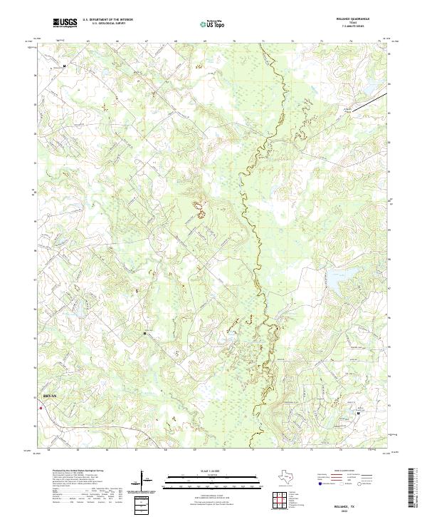 2022 Reliance2022 Print · USGSThe Brazos and Grimes County line comes alive in this contemporary view of the river bottomlands north of Bryan. Genealogists and historians can trace family burial sites at Reliance Cem and Stick Cem or locate the K Ranch Airport.
 - 2022 Map of Wellborn, 2022 Print
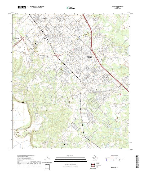 2022 Wellborn2022 Print · USGSThe academic heart of Brazos County is captured in the early 2020s, centered on Texas A and M University and its surrounding communities. Researchers can trace local history through the Wellborn Cem and the Bush Presidential Library.
 - 2022 Map of Millican, 2022 Print
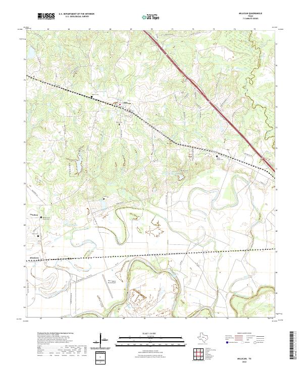 2022 Millican2022 Print · USGSIn the river bottoms of Brazos County, this modern survey shows the historic cotton-shipping hub of Millican and the rural community of Allenfarm. Genealogists and historians can trace family burial sites like Bethel Grove Church Cem and landmarks such as Hidalgo Falls along the river.
 - 2022 Map of Bryan West, 2022 Print
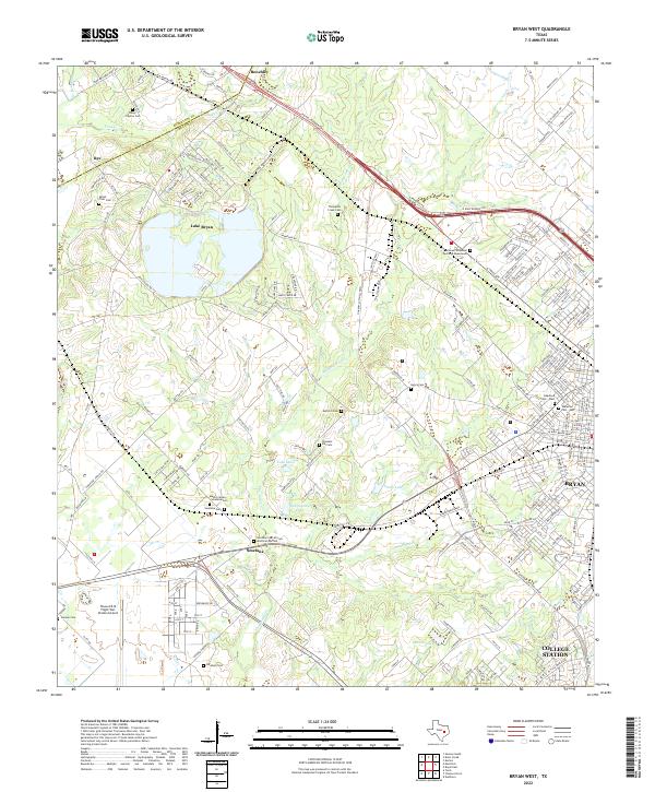 2022 Bryan West2022 Print · USGSBrazos County's western expansion meets rural history in this 2022 survey of the areas surrounding Bryan and College Station. Genealogists and historians can trace numerous family burial grounds including Mount Tiver Cem and the Smetana Cem African American Section.
 - 2022 Map of Bryan East, 2022 Print
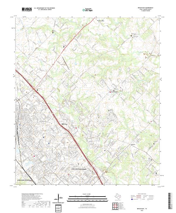 2022 Bryan East2022 Print · USGSBrazos County is shown during a period of significant urban growth as Bryan and College Station expand into the surrounding ranch land. Genealogists can trace family names at the Moravian Czech Cem, Mount Olive Cem, and Boonville Cem.
 - 2022 Map of Ferguson Crossing, 2022 Print
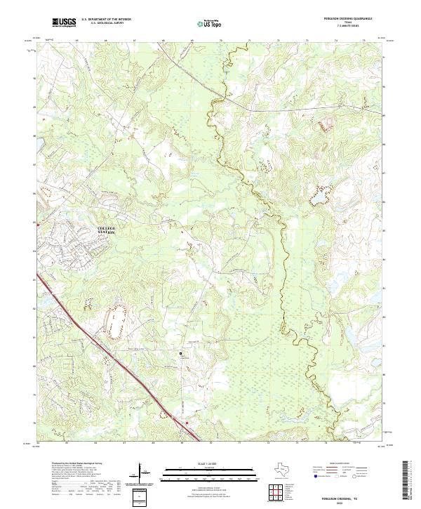 2022 Ferguson Crossing2022 Print · USGSBrazos and Grimes counties meet along the winding Navasota River as College Station expands into the surrounding countryside. Genealogists and local historians can trace family ties at Peach Creek Cem or locate old water sources like Lamb Spring and Sulphur Spring.
 - 2022 Map of Navasota, 2022 Print
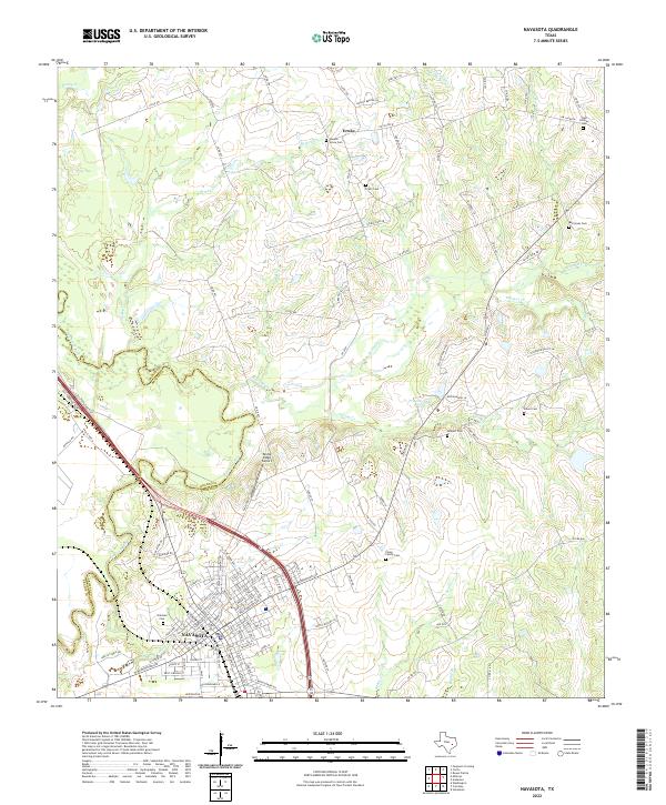 2022 Navasota2022 Print · USGSNavasota and the surrounding Grimes County countryside appear here as they were in the early 2020s, showing a mix of historic city streets and rural land. Researchers can locate many local burial grounds like Oakland Cem and Camp Family Cem while tracing the winding path of the Navasota River.
End of results
Showing maps 1-19 of 19
Top cities of Brazos County
- College Station historical maps
- Bryan historical maps
- Millican historical maps
- Kurten historical maps
- Wixon Valley historical maps
Frequently asked questions
- What are the different types of historical maps available for Brazos County?
- What is the oldest map of Brazos County?
- Where can I purchase historical maps of Brazos County for my home or office?
- Where can I download high-res historical maps of Brazos County?
- Are there historical topographic maps available for Brazos County?
- Is there historical aerial imagery available for Brazos County?
- Where are historical maps of Brazos County sourced from?