2010s Maps of Cochran County, Texas
Explore 77 historic maps of Cochran County from the 2010s. These maps offer a rare glimpse into what life looked like during the 2010s — showing old roads, neighborhoods, homes, and landmarks that have changed or disappeared over time.
Whether you're researching your family's past, planning a metal detecting trip, or studying how Cochran County's landscape evolved across the 2010s, these high-resolution maps are a powerful tool for exploring the history of this region.
- Focus on a specific era: All maps on this page are from the 2010s, giving you a focused view of this time period.
- See what’s changed: Compare century-old streets, trails, and buildings to today's modern landscape using overlays and satellite layers.
- Research with precision: Use these maps for genealogy, historical research, land use analysis, or educational projects.
- View, download, or print: Maps are fully viewable online in high resolution, and can be downloaded or printed for your own records.
Start exploring Cochran County's history through authentic maps from the 2010s. This is your window into the past.
Cochran County, TX maps
(77)- 2010 Map of Whiteface NW, 2010 Print
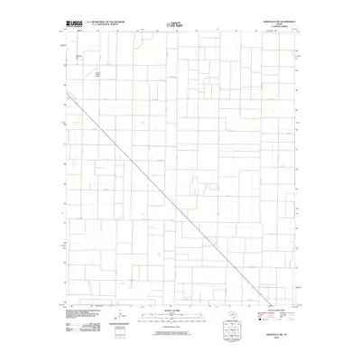 2010 Whiteface NW2010 Print · USGSCochran County is captured at the start of the 2010s, showing a vast agricultural landscape structured by a precise road grid. Researchers can trace rural property access and local infrastructure between Cochran County Airport, Ramsey Hill, and FM 1780.
 - 2010 Map of Morton NW, 2010 Print
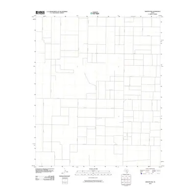 2010 Morton NW2010 Print · USGSCochran County’s high plains terrain is displayed in its modern agricultural layout during the early twenty-first century. Genealogists and land researchers can trace property boundaries and rural access routes along Fm 1169, Co Rd 130, and Co Rd 41.
 - 2010 Map of Pettit, 2010 Print
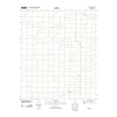 2010 Pettit2010 Print · USGSThe South Plains of West Texas appear in a high-precision grid of ranching and energy production during this early 21st-century period. Researchers can locate the small community of Pettit and trace the extensive Levelland and Slaughter Oil and Gas Field near Whiteface Farms.
 - 2010 Map of Morton SW, 2010 Print
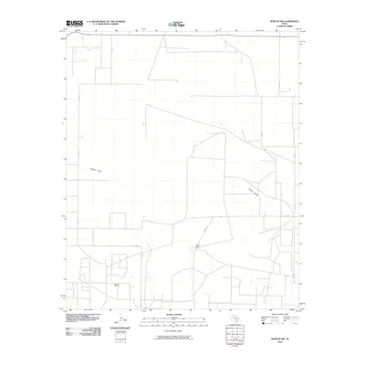 2010 Morton SW2010 Print · USGSCochran County’s high plains are shown in the early twenty-first century, highlighting a landscape shaped by petroleum and ranching. Genealogists and researchers can trace the roads leading to Buckshot Oil Field and the central Masten Ranch.
 - 2010 Map of Maple, 2010 Print
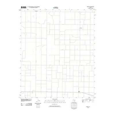 2010 Maple2010 Print · USGSBailey County agricultural life is captured here during the early twenty-first century, showing the organized grid of West Texas farm roads. Genealogists and local historians can trace rural property locations near Maple, Goodland, and the settlement at Neely Ward.
 - 2010 Map of Two B Ranch NW, 2010 Print
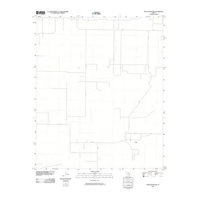 2010 Two B Ranch NW2010 Print · USGSCochran County is shown at the start of the 2010s as a quiet landscape of petroleum extraction and rural corridors. Researchers can trace the layout of the Landon Oil Field and the thin network of local routes such as FM 1585 and CO RD 57.
 - 2010 Map of South Fork Sulphur Draw, 2010 Print
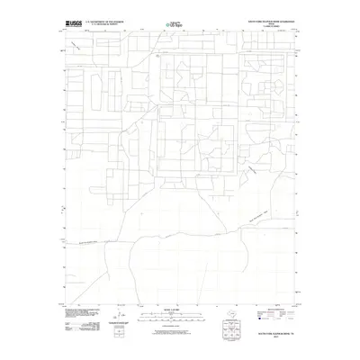 2010 South Fork Sulphur Draw2010 Print · USGSCochran County’s ranching heartland is captured here in the early twenty-first century, showcasing the intersection of prairie drainage and rural transit. Researchers can locate the Dean Ranch and trace the paths of Sulphur Draw and South Fork Sulphur Draw.
 - 2010 Map of Enochs, 2010 Print
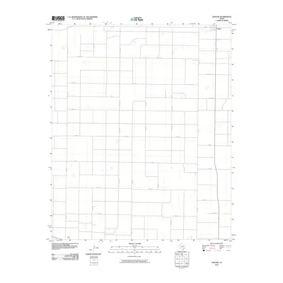 2010 Enochs2010 Print · USGSThe rural expanse of Bailey County is captured here in the early twenty-first century, showing the systematic grid of the West Texas plains. Researchers can trace local routes and homestead access along CO RD 1314 and CO RD 24 near the community of Enochs.
 - 2010 Map of Schooler Ranch, 2010 Print
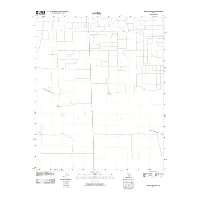 2010 Schooler Ranch2010 Print · USGSCochran County's high plains ranching country is captured here in the early twenty-first century, showing a landscape shaped by water and wire. Researchers can trace the drainage of South Fork Sulphur Draw and locate the historic Schooler Ranch and Close Ranch.
 - 2010 Map of Lehman, 2010 Print
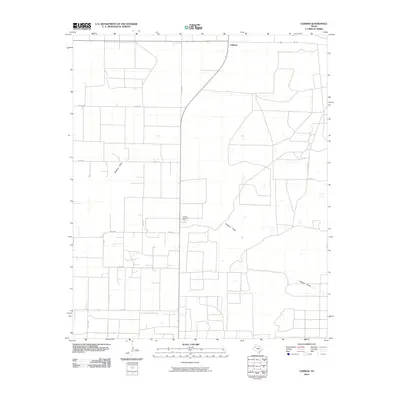 2010 Lehman2010 Print · USGSCochran County agriculture and energy production intersect at this high-plains settlement during the early twenty-first century. Researchers can trace the layout of the Lehman Gasoline Plant and the winding path of Sulphur Draw amidst a dense network of county roads.
 - 2010 Map of Whiteface SW, 2010 Print
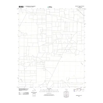 2010 Whiteface SW2010 Print · USGSThe High Plains of Cochran County appear here in a period of sophisticated rural organization, featuring a precise grid of agricultural and access roads. Researchers can trace land divisions and seasonal watercourses like Sulphur Draw and Lost Draw or the paths of FM 169 and CO RD 197.
 - 2010 Map of County Line, 2010 Print
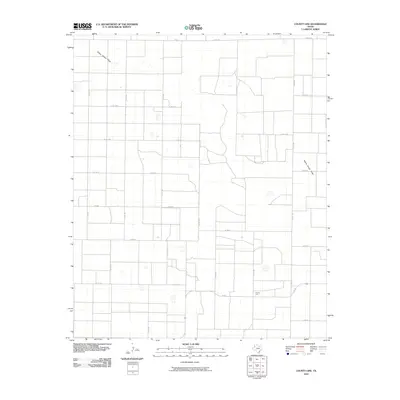 2010 County Line2010 Print · USGSTexas high plains agriculture and rural life take center stage in this 2010 study of Bailey County. Researchers can trace the section-line roads and drainage patterns of Yellow House Draw near the remote crossroads of County Line.
 - 2010 Map of West of Sundown, 2010 Print
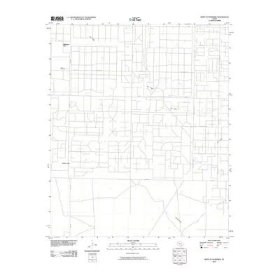 2010 West of Sundown2010 Print · USGSThis Hockley County landscape reflects the intensive energy and ranching culture of the Llano Estacado in the early twenty-first century. Researchers can trace the layout of the Girlstown USA campus or the industrial grid along Wildcat Rd and Roughneck Rd.
 - 2010 Map of Whiteface, 2010 Print
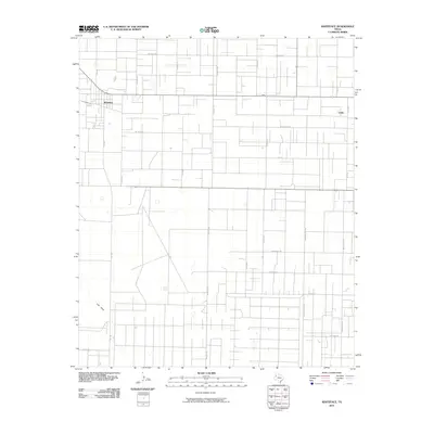 2010 Whiteface2010 Print · USGSWhiteface and the high plains of West Texas are captured here in the early twenty-first century, showing a landscape defined by ranching and energy. Genealogists and historians can trace local family routes and sites along Lost Draw, Roughneck Rd, and the settlement of Coble.
 - 2010 Map of Morton, 2010 Print
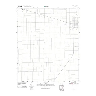 2010 Morton2010 Print · USGSCochran County is captured here at the start of the decade, showing the organized grid of the Texas High Plains. Genealogists and local historians can trace the rural layout around Morton, the community at Famuliner, and the network of roads including FM 1169.
 - 2010 Map of Pep, 2010 Print
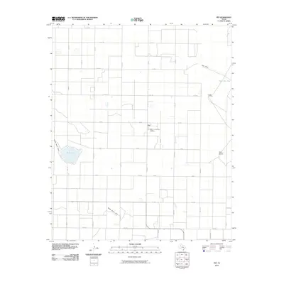 2010 Pep2010 Print · USGSHockley County at the start of the twenty-first century reveals a highly structured agricultural landscape centered on the community of Pep. Researchers can trace the legacy of local families at Saint Phillips Cemetery and locate water sources like Silver Lake and the Double Windmills.
 - 2010 Map of Bronco NE, 2010 Print
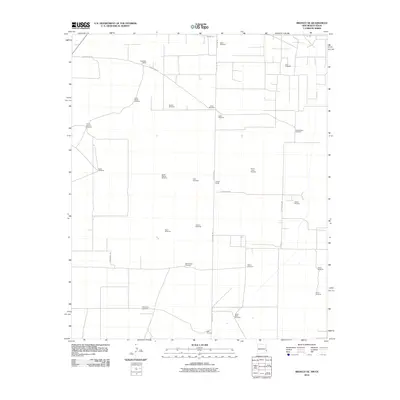 2010 Bronco NE2010 Print · USGSThe high plains of the New Mexico-Texas border are defined here by cattle ranching and energy extraction in the early 2000s. Genealogists and historians can locate family-named landmarks like Standefer Ranch and the Walker Oil Field.
 - 2010 Map of Lingo, 2010 Print
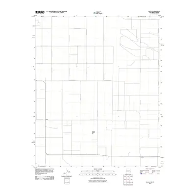 2010 Lingo2010 Print · USGSThe rural borderlands of eastern New Mexico come to life in this survey of the High Plains ranching country. Researchers can trace the grid of section roads to the settlement of Lingo or locate the landmark of Buffalo Soldier Hill.
 - 2010 Map of Bledsoe, 2010 Print
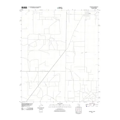 2010 Bledsoe2010 Print · USGSBledsoe and the rural expanses of Cochran County are captured here at the beginning of the twenty-first century. Researchers can trace family land via the network of Brown Ln, County Rd-200, and the path of Sulfer Draw.
 - 2010 Map of Bledsoe NE, 2010 Print
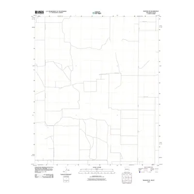 2010 Bledsoe NE2010 Print · USGSRoosevelt County and the Texas borderlands appear as a structured agricultural grid during the first decade of the new millennium. Researchers can trace rural property access and regional transport via S Roosevelt Rd E, FM-595, and County Rd-35.
 - 2012 Map of Pettit, 2012 Print
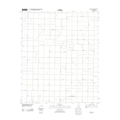 2012 Pettit2012 Print · USGSThe Texas High Plains near Pettit were defined by agriculture and energy production during the early 2000s. Genealogists and local historians can trace family land via an international-themed road grid including England Rd, India Rd, and Brazil Rd.
 - 2012 Map of West of Sundown, 2012 Print
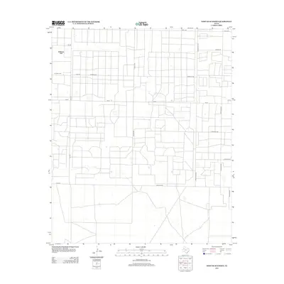 2012 West of Sundown2012 Print · USGSHockley County, Texas, was a landscape of specialized petroleum industry and ranching during the early twenty-first century. Researchers can trace the specific machinery of the oil patch through road names like Sampson Post Rd and Roughneck Rd near Girlstown USA.
 - 2012 Map of Bledsoe, 2012 Print
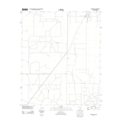 2012 Bledsoe2012 Print · USGSTexas high plains ranching and agriculture are front and center in this modern survey of the border region during the early twenty-first century. Genealogists and local historians can trace the town grid of Bledsoe and rural routes like FM-769 and Brown Ln.
 - 2012 Map of County Line, 2012 Print
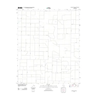 2012 County Line2012 Print · USGSTexas High Plains agriculture and rural geography are mapped here in the early 2000s, showing a landscape defined by section lines and water management. Researchers can trace the local drainage of Silver Springs and the connectivity of routes like Ranch Road 54 and FM-597.
 - 2012 Map of Whiteface SW, 2012 Print
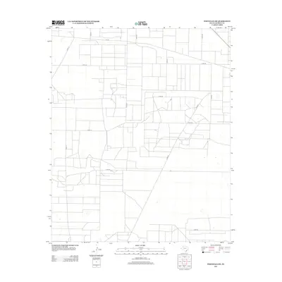 2012 Whiteface SW2012 Print · USGSCochran County's High Plains landscape is captured here in the early twenty-first century, showing the methodical grid of rural West Texas. Genealogists and local historians can trace family land access along FM-769, CO RD-197, and CO RD-150.
Showing maps 1-25 of 77
Top cities of Cochran County
Frequently asked questions
- What are the different types of historical maps available for Cochran County?
- What is the oldest map of Cochran County?
- Where can I purchase historical maps of Cochran County for my home or office?
- Where can I download high-res historical maps of Cochran County?
- Are there historical topographic maps available for Cochran County?
- Is there historical aerial imagery available for Cochran County?
- Where are historical maps of Cochran County sourced from?