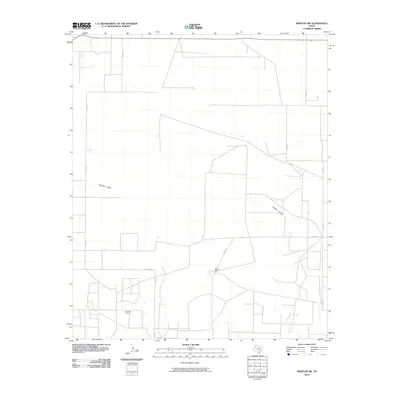
2010 Map of Morton SW
USGS Topo · Published 2010About this map
Buckshot Oil Field dominates the southwestern corner of this West Texas landscape, reflecting the region's long-standing reliance on petroleum extraction. The terrain is defined by the ephemeral path of Sulphur Draw, which meanders across the high plains of Cochran County. This 2010 survey illustrates a sparsely populated agricultural and industrial expanse where land is organized into large-scale ranching and mineral interests, punctuated by localized features like Masten Ranch.
Find a feature on this map
11 named features on this map. Tap any name to fly to it.
Don’t see what you’re looking for? This feature index may not catch every label — zoom into the map to look around manually.
Map Details
Editions of this 2010 Morton SW Map
This is the sole edition of this map. No revisions or reprints were ever made.
Other maps of this area

1954 · Brownfield
USGS Topo · 1:250,000

1958 · Brownfield
USGS Topo · 1:250,000

1962 · Brownfield
USGS Topo · 1:250,000

1969 · Lehman
USGS Topo · 1:24,000

1970 · Bronco NE
USGS Topo · 1:24,000

1970 · Bledsoe
USGS Topo · 1:24,000

1970 · Morton SW
USGS Topo · 1:24,000

1970 · Morton NW
USGS Topo · 1:24,000

1970 · Bledsoe NE
USGS Topo · 1:24,000

1971 · Schooler Ranch
USGS Topo · 1:24,000