Old Maps of Mound, Texas for Academic Research
Study the evolution of Mound with 14 high-resolution historic maps. Whether you're teaching, researching, or modeling changes in land use, these maps provide essential visual documentation of urban, environmental, and geographic change.
- Analyze long-term change: Track patterns in development, transportation, and natural features.
- Ideal for environmental or urban studies: Support academic projects with primary historical map data.
- Use in the classroom or lab: Educators and researchers rely on these maps to bring historical context to life.
These maps are a powerful tool for teaching, research, and visualizing how Mound has changed over the decades.
Mound, TX maps
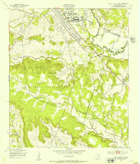
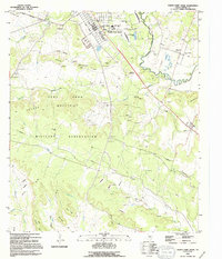
(14)- 1894 Map of Gatesville
 1894 Gatesville1894 Print · USGSCentral Texas in the late nineteenth century was a landscape of expanding rail lines and established river settlements. Genealogists can trace family names across Pidcock Ranch, Fort Gates, and Coperas Cove, while following the path of the St. Louis Arkansas and Texas Railroad.4 unique versions available
 - 1947 Map of North Fort Hood, 1953 Print
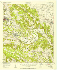
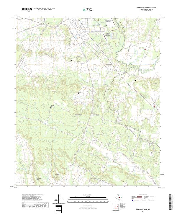
 1947 North Fort Hood1953 Print · USGSCoryell County in the late 1940s shows the expanding footprint of the Fort Hood Military Reservation over the Texas landscape. Genealogists can locate family burial grounds like Bethel Cem and Ruth Cem or the site of Hubbard Sch among the hills and firing ranges.
 - 1950 Map of Gatesville, 1953 Print
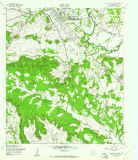
 1950 Gatesville1953 Print · USGSCoryell County is captured here in the mid-twentieth century, showing the growing overlap between civilian life and the military footprint at North Fort Hood. Researchers can trace rural lineages through sites like Mound Cem, Leon Junction Sch, and the long-established State Reform School.
 - 1954 Map of Waco, 1964 Print
 1954 Waco1964 Print · USGSCentral Texas during the mid-fifties shows a landscape defined by the expansion of Fort Hood Military Reservation and the Brazos river system. Trace the rail lines and early airfields like James Connally Air Force Base and settlements like Temple or McGregor.2 unique versions available
 - 1955 Map of Waco
 1955 Waco1955 Print · USGSCentral Texas at the peak of the Cold War reveals a landscape defined by military expansion and major water projects. Researchers can trace the footprints of Fort Hood, the waters of Lake Waco, and regional hubs like Temple or Mexia.
 - 1958 Map of North Fort Hood, 1961 Print
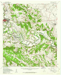
 1958 North Fort Hood1961 Print · USGSCoryell County during the late fifties reveals the expansion of North Fort Hood into the surrounding Texas ranch land. Genealogists and historians can trace the foundations of earlier communities through Mound Cem, White Mound Ch, and the Old Railroad Grade.2 unique versions available
 - 1958 Map of Gatesville, 1962 Print
 1958 Gatesville1962 Print · USGSCoryell County during the late fifties reveals the expanding footprint of the army alongside traditional river-valley settlements. Genealogists can trace family landmarks like Friendship Cemetery, the Gatesville State School for Boys, and the rail stops of the St Louis Southwestern Railroad.2 unique versions available
 - 1985 Map of Temple
 1985 Temple1985 Print · USGSCentral Texas in the mid-eighties shows a landscape of massive defense installations and deep-rooted farming communities. Genealogists and historians can trace the development of Temple and Gatesville, locate the Gatesville State School for Boys, or explore rural outposts like Zabcikville and Westphalia.2 unique versions available
 - 1994 Map of North Fort Hood, 1995 Print
 1994 North Fort Hood1995 Print · USGSCoryell County during the mid-1990s shows the massive footprint of the Fort Hood Military Reservation alongside established rural communities. Researchers can trace historic family locations at Hubbard Cem or Bethel Cem and see the rail-and-river geography near Mound.
 - 2010 Map of North Fort Hood, 2010 Print
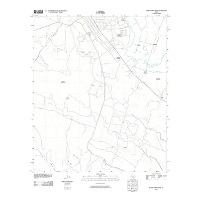 2010 North Fort Hood2010 Print · USGSCovers Mound, including Flat, Coryell County, and other nearby areas
 - 2012 Map of North Fort Hood, 2012 Print
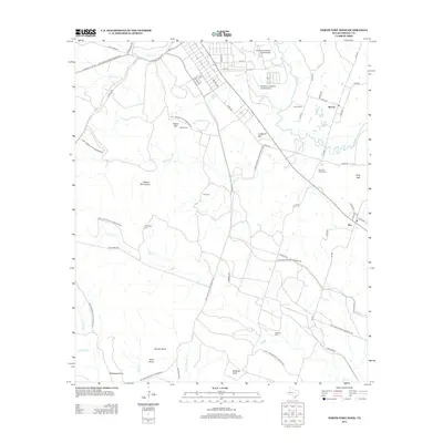 2012 North Fort Hood2012 Print · USGSCovers Mound, including Flat, Coryell County, and other nearby areas
 - 2016 Map of North Fort Hood, 2016 Print
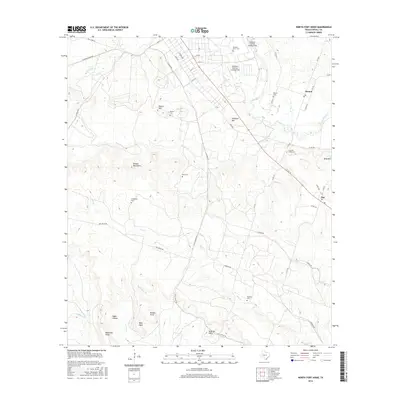 2016 North Fort Hood2016 Print · USGSCovers Mound, including Flat, Coryell County, and other nearby areas
 - 2019 Map of North Fort Hood, 2019 Print
 2019 North Fort Hood2019 Print · USGSCovers Mound, including Flat, Coryell County, and other nearby areas
 - 2022 Map of North Fort Hood, 2022 Print
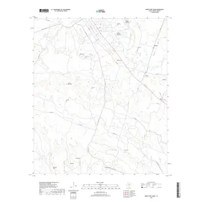
 2022 North Fort Hood2022 Print · USGSThe rural Coryell County landscape and the North Fort Hood military area are documented here in the early twenty-first century. Genealogists can trace family heritage at Mound Cem, Friendship Cem, and the high point of King Mtn.
End of results
Showing maps 1-14 of 14
Top cities near Mound
- Killeen historical maps
- Temple historical maps
- Copperas Cove historical maps
- Gatesville historical maps
- McGregor historical maps
- Crawford historical maps
See more
Frequently asked questions
- What are the different types of historical maps available for Mound?
- What is the oldest map of Mound?
- Where can I purchase historical maps of Mound for my home or office?
- Where can I download high-res historical maps of Mound?
- Are there historical topographic maps available for Mound?
- Is there historical aerial imagery available for Mound?
- Where are historical maps of Mound sourced from?