Old Maps of Crosbyton, Texas for Academic Research
Study the evolution of Crosbyton with 20 high-resolution historic maps. Whether you're teaching, researching, or modeling changes in land use, these maps provide essential visual documentation of urban, environmental, and geographic change.
- Analyze long-term change: Track patterns in development, transportation, and natural features.
- Ideal for environmental or urban studies: Support academic projects with primary historical map data.
- Use in the classroom or lab: Educators and researchers rely on these maps to bring historical context to life.
These maps are a powerful tool for teaching, research, and visualizing how Crosbyton has changed over the decades.
Crosbyton, TX maps
(20)- 1954 Map of Lubbock, 1958 Print
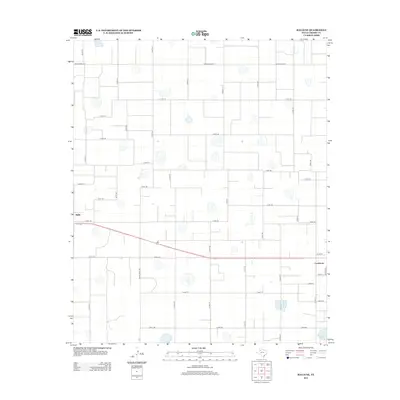
 1954 Lubbock1958 Print · USGSThe High Plains and Caprock region of West Texas come alive in the mid-1950s, showing a landscape defined by oil discovery and the Brazos River headwaters. Genealogists and historians can trace rail-connected towns like Roaring Springs, find the Pleasant Valley church, or locate family-named landmarks such as Soldier Mound.4 unique versions available
 - 1966 Map of Crosbyton, 1968 Print
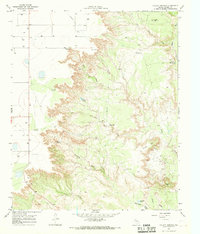
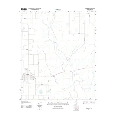
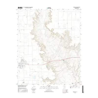
 1966 Crosbyton1968 Print · USGSCrosby County and the breaks of the White River are captured here in the mid-sixties as the town of Crosbyton thrived on the plains. You can trace the Atchison Topeka and Santa Fe rail line and locate landmarks like Camp Rio Blanco and Silver Falls.
 - 1966 Map of Collett Springs, 1968 Print
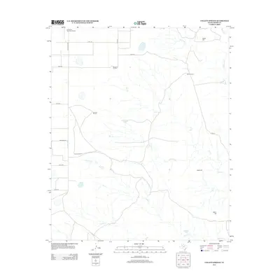
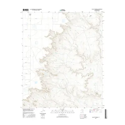
 1966 Collett Springs1968 Print · USGSCrosby County is shown in the mid-1960s as a land of windmills and deep canyon breaks. Researchers can trace cattle-country infrastructure like Spindle Top Windmill, the Blue Hole, and early industrial sites including a local Claypit.
 - 1967 Map of Ralls NE, 1968 Print
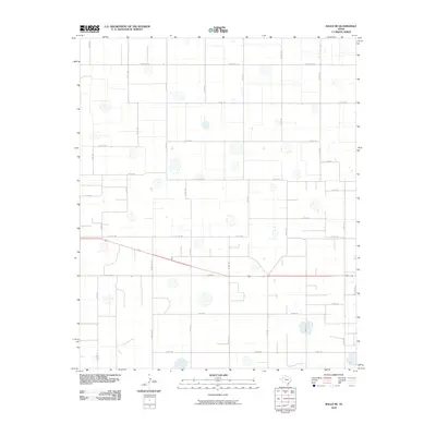
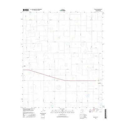
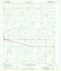 1967 Ralls NE1968 Print · USGSCrosby County in the late sixties reveals a landscape of intensive irrigation and rail-connected settlements. Genealogists and researchers can locate Fairview Sch, trace the Atchison Topeka and Santa Fe line, or explore the fringes of Ralls and Crosbyton.2 unique versions available
 - 1986 Map of Lubbock
 1986 Lubbock1986 Print · USGSLubbock and the surrounding High Plains are documented in the mid-eighties as a structured grid of agricultural tracts and growing urban centers. Genealogists and local historians can trace family-named areas like Heckville, old rail stops on the Atchison Topeka and Santa Fe, and the winding path of Yellow House Canyon.2 unique versions available
 - 2010 Map of Crosbyton, 2010 Print
 2010 Crosbyton2010 Print · USGSCovers Crosbyton, including Crosby County, United States, and other nearby areas
 - 2010 Map of Collett Springs, 2010 Print
 2010 Collett Springs2010 Print · USGSCovers Crosbyton, including Crosby County, United States, and other nearby areas
 - 2010 Map of Ralls NE, 2010 Print
 2010 Ralls NE2010 Print · USGSCovers Crosbyton, including Ralls, Crosby County, and other nearby areas
 - 2012 Map of Collett Springs, 2012 Print
 2012 Collett Springs2012 Print · USGSCovers Crosbyton, including Crosby County, United States, and other nearby areas
 - 2012 Map of Crosbyton, 2012 Print
 2012 Crosbyton2012 Print · USGSCovers Crosbyton, including Crosby County, United States, and other nearby areas
 - 2012 Map of Ralls NE, 2012 Print
 2012 Ralls NE2012 Print · USGSCovers Crosbyton, including Ralls, Crosby County, and other nearby areas
 - 2016 Map of Crosbyton, 2016 Print
 2016 Crosbyton2016 Print · USGSCovers Crosbyton, including Crosby County, United States, and other nearby areas
 - 2016 Map of Collett Springs, 2016 Print
 2016 Collett Springs2016 Print · USGSCovers Crosbyton, including Crosby County, United States, and other nearby areas
 - 2016 Map of Ralls NE, 2016 Print
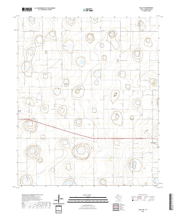
 2016 Ralls NE2016 Print · USGSCovers Crosbyton, including Ralls, Crosby County, and other nearby areas
 - 2019 Map of Collett Springs, 2019 Print
 2019 Collett Springs2019 Print · USGSCovers Crosbyton, including Crosby County, United States, and other nearby areas
 - 2019 Map of Crosbyton, 2019 Print
 2019 Crosbyton2019 Print · USGSCovers Crosbyton, including Crosby County, United States, and other nearby areas
 - 2019 Map of Ralls NE, 2019 Print
 2019 Ralls NE2019 Print · USGSCovers Crosbyton, including Ralls, Crosby County, and other nearby areas
 - 2022 Map of Ralls NE, 2022 Print
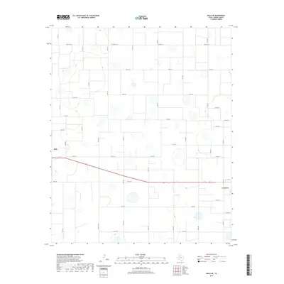
 2022 Ralls NE2022 Print · USGSCrosby County agricultural lands and the fringes of two historic plains towns are captured in the early 2020s. Genealogists and land researchers can trace property boundaries and rural routes like Co Rd 162 between Ralls and Crosbyton.
 - 2022 Map of Collett Springs, 2022 Print
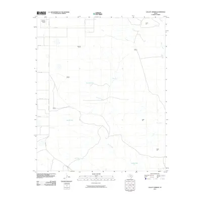
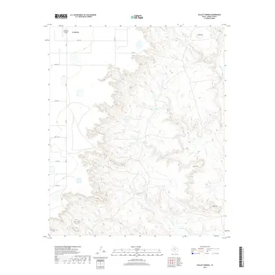
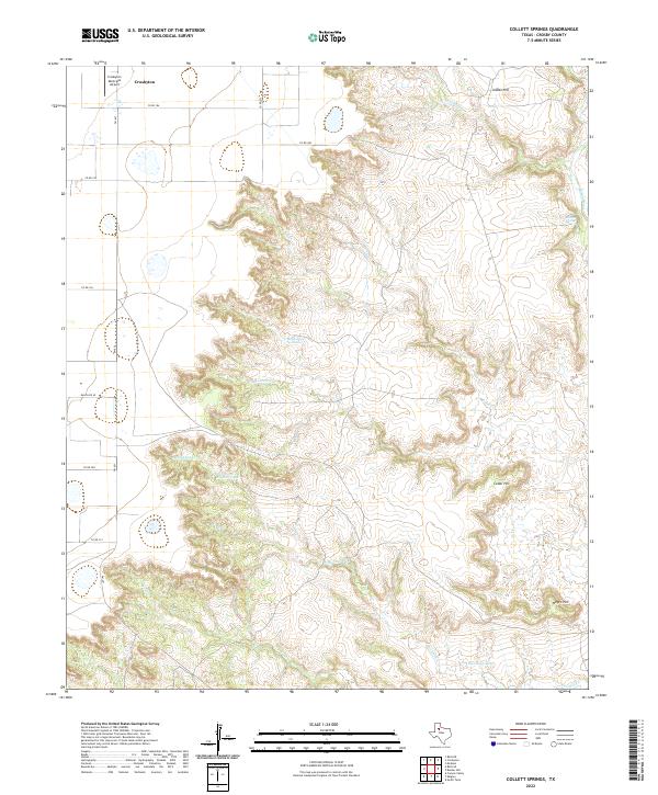 2022 Collett Springs2022 Print · USGSCrosby County is captured here where the high plains break into deep canyons and ranch land. Researchers can trace the drainage of White River and Blue Hole Cr or locate specific landmarks like Indian Hill and the Crosbyton Municipal Airport.
 - 2022 Map of Crosbyton, 2022 Print
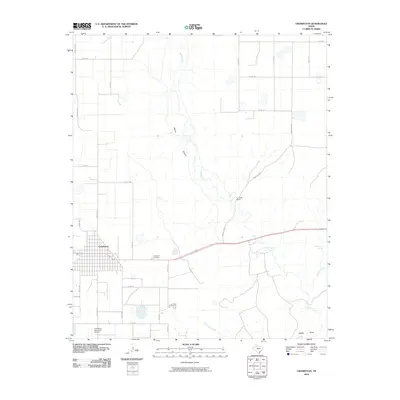
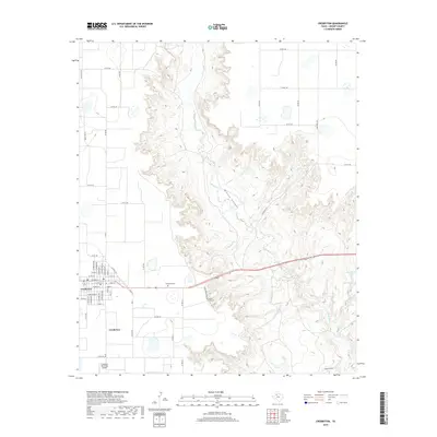
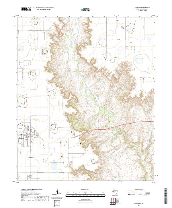 2022 Crosbyton2022 Print · USGSCrosbyton and the surrounding Caprock country are documented here as the high plains drop into the breaks of Blanco Canyon. Genealogists and local historians can trace family roots at the Crosby County Courthouse, Crosbyton Cem, and the secluded Mount Zion Cem.
End of results
Showing maps 1-20 of 20
Top cities near Crosbyton
Frequently asked questions
- What are the different types of historical maps available for Crosbyton?
- What is the oldest map of Crosbyton?
- Where can I purchase historical maps of Crosbyton for my home or office?
- Where can I download high-res historical maps of Crosbyton?
- Are there historical topographic maps available for Crosbyton?
- Is there historical aerial imagery available for Crosbyton?
- Where are historical maps of Crosbyton sourced from?