Old Maps of Dalhart, Texas for Genealogy
Trace your family roots with 15 historic maps of Dalhart. These high-res maps reveal old neighborhoods, homesites, landmarks, and streets — helping you uncover where your ancestors lived and how the area evolved over time.
- Explore historic neighborhoods: Identify where your relatives may have lived in the 1800s or 1900s.
- Compare maps over time: Trace the changes in streets, buildings, and landmarks for multi-generational research.
- Perfect for genealogy & ancestry research: Used by family historians and researchers to map out lineage and migration.
These maps are an incredible resource for exploring your personal connection to Dalhart's past.
Dalhart, TX maps
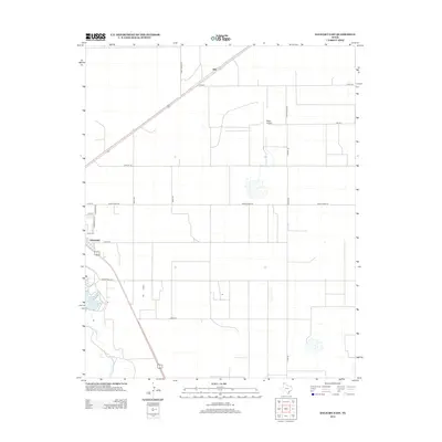
(15)- 1954 Map of Dalhart, 1967 Print
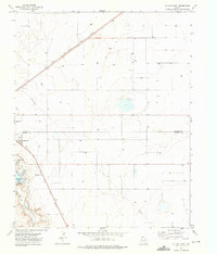
 1954 Dalhart1967 Print · USGSThe High Plains at the junction of four states come alive in the mid-fifties, showing a landscape of rail-hub towns and cattle country. Trace the Old Santa Fe Trail or locate mid-century industrial sites like the Dry ice plant and Carbon Dioxide Works.2 unique versions available
 - 1958 Map of Dalhart
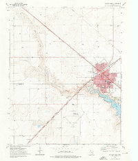
 1958 Dalhart1958 Print · USGSThe High Plains of the tri-state border region come alive in this mid-century survey of the ranching and rail territory around the Texas Panhandle. Genealogists and historians can trace the paths of the Atchison Topeka & Santa Fe Ry, military outposts like Dalhart Air Force No 1, and early settlements such as Pasamonte and Texline.2 unique versions available
 - 1962 Map of Dalhart
 1962 Dalhart1962 Print · USGSThe High Plains and volcanic peaks of the tri-state area are shown in detail during the early sixties. Genealogists and historians can trace the rail corridors of the Fort Worth and Denver and find industrial sites like the Cactus Ordnance Works or the Beaver Meade & Englewood Grain Elevator.
 - 1973 Map of Dalhart East, 1976 Print
 1973 Dalhart East1976 Print · USGSThe Texas Panhandle city of Dalhart thrives at the crossing of major rail lines in the early seventies. Researchers can trace the Chicago Rock Island and Pacific tracks and locate landmarks like the Drive-in Theater and Miller Airfield.
 - 1973 Map of Dalhart West, 1976 Print
 1973 Dalhart West1976 Print · USGSDalhart served as a critical rail junction for the Texas Panhandle in the early seventies, spanning the border of Dallam and Hartley counties. Researchers can trace the legacy of the High Plains here, from the Memorial Cem to the tracks of the Chicago Rock Island and Pacific.
 - 2010 Map of Dalhart West, 2010 Print
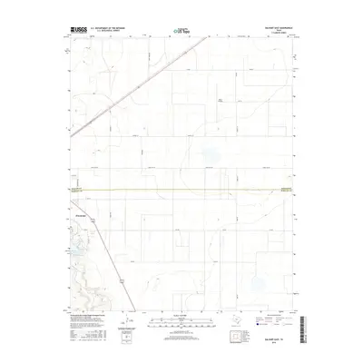
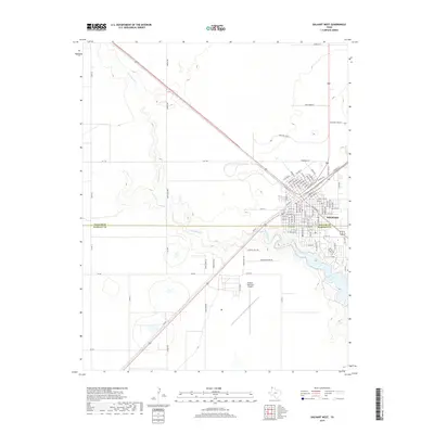
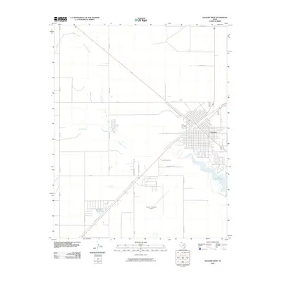 2010 Dalhart West2010 Print · USGSCovers Dalhart, including Hartley County, Dallam County, and other nearby areas
 - 2010 Map of Dalhart East, 2010 Print
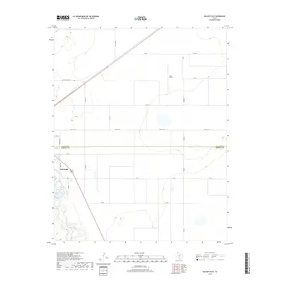
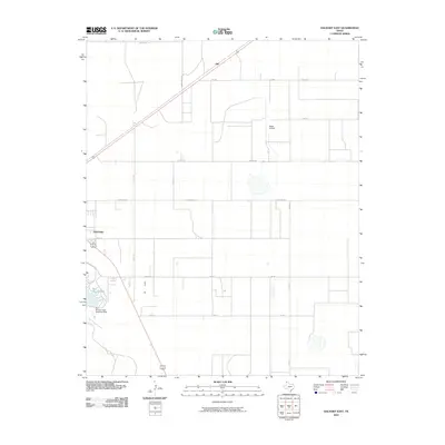 2010 Dalhart East2010 Print · USGSCovers Dalhart, including Hitt, Hartley County, and other nearby areas
 - 2012 Map of Dalhart East, 2012 Print
 2012 Dalhart East2012 Print · USGSCovers Dalhart, including Hitt, Hartley County, and other nearby areas
 - 2012 Map of Dalhart West, 2012 Print
 2012 Dalhart West2012 Print · USGSCovers Dalhart, including Hartley County, Dallam County, and other nearby areas
 - 2016 Map of Dalhart East, 2016 Print
 2016 Dalhart East2016 Print · USGSCovers Dalhart, including Hitt, Hartley County, and other nearby areas
 - 2016 Map of Dalhart West, 2016 Print
 2016 Dalhart West2016 Print · USGSCovers Dalhart, including Hartley County, Dallam County, and other nearby areas
 - 2019 Map of Dalhart West, 2019 Print
 2019 Dalhart West2019 Print · USGSCovers Dalhart, including Hartley County, Dallam County, and other nearby areas
 - 2019 Map of Dalhart East, 2019 Print
 2019 Dalhart East2019 Print · USGSCovers Dalhart, including Hitt, Hartley County, and other nearby areas
 - 2022 Map of Dalhart West, 2022 Print
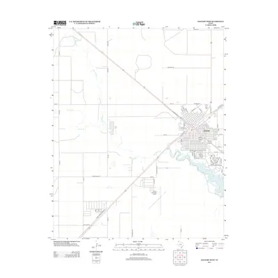
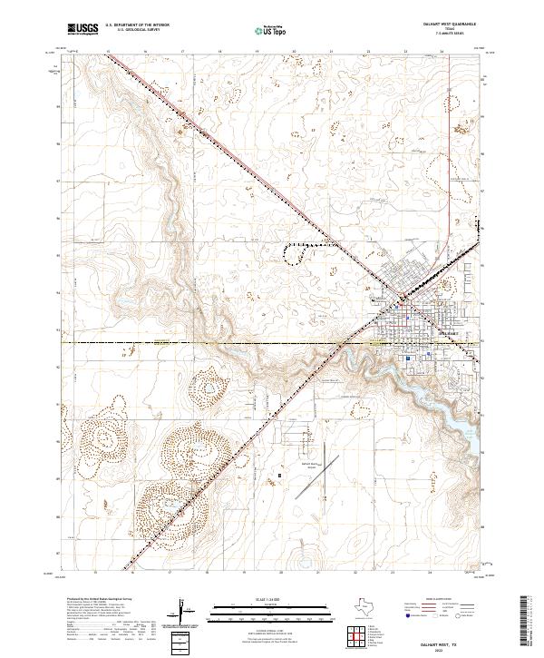 2022 Dalhart West2022 Print · USGSDalhart sits at the junction of the Texas Panhandle's cattle and rail country in the early twenty-first century. Researchers can trace the city’s expansion from the Dallam County Courthouse toward Rita Blanca Lake and the Dalhart Municipal Airport.
 - 2022 Map of Dalhart East, 2022 Print
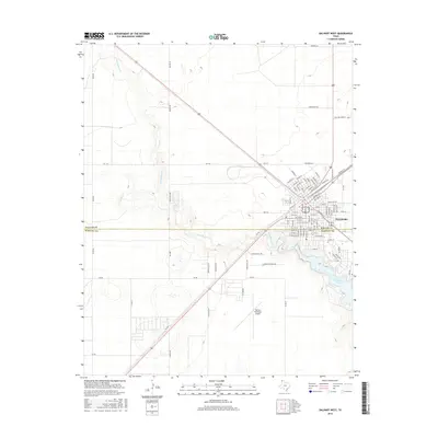
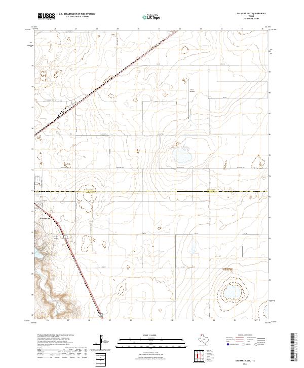 2022 Dalhart East2022 Print · USGSThe Texas Panhandle comes into focus in this contemporary survey where the city of Dalhart meets the open ranch lands of the high plains. Researchers can trace the local landscape from the waters of Rita Blanca Lake to rural landmarks like Miller Airfield.
End of results
Showing maps 1-15 of 15
Top cities near Dalhart
Frequently asked questions
- What are the different types of historical maps available for Dalhart?
- What is the oldest map of Dalhart?
- Where can I purchase historical maps of Dalhart for my home or office?
- Where can I download high-res historical maps of Dalhart?
- Are there historical topographic maps available for Dalhart?
- Is there historical aerial imagery available for Dalhart?
- Where are historical maps of Dalhart sourced from?