Old Maps of Kendleton, Texas for Metal Detecting
Plan your next treasure hunt with 19 historic maps of Kendleton. Find old homesites, ghost towns, trails, and gathering spots that may be lost to time — perfect for identifying promising metal detecting locations.
- Locate forgotten sites: Uncover places like long-lost settlements, abandoned rail lines, or gathering spots.
- Plan better hunts: Use map overlays combined with LiDAR or satellite views to narrow in on historically rich areas.
- Made for detectorists: Thousands of hobbyists use these maps to discover relics, coins, and hidden history.
Use these historic maps to boost your research and find new opportunities beneath the surface of Kendleton.
Kendleton, TX maps
(19)- 1950 Map of Houston, 1953 Print
 1950 Houston1953 Print · USGSCoastal Texas in the early fifties reveals a landscape of massive civil engineering and industrial transit. Genealogists and researchers can trace the growth of the Houston suburbs and the maritime infrastructure of Galveston Bay, including the Gulf Freeway and the Texas City Dike.
 - 1953 Map of Kendleton, 1954 Print
 1953 Kendleton1954 Print · USGSFort Bend and Wharton Counties are seen here in the early 1950s, a landscape shaped by the San Bernard River and rail lines. Locate the Mexican Army Encampment site, trace the Southern Pacific tracks through Beasley, or find family roots near Wesley Chapel.2 unique versions available
 - 1953 Map of Hungerford, 1954 Print
 1953 Hungerford1954 Print · USGSWharton and Fort Bend Counties appear in the early fifties as a landscape of coastal prairies and emerging energy production. Researchers can trace rural life through the many landmarks like Hungerford School, Faith Tabernacle, and the Hungerford Oil Field.2 unique versions available
 - 1953 Map of Seguin, 1965 Print
 1953 Seguin1965 Print · USGSSouth Texas in the early fifties shows a thriving river-and-rail economy across the Guadalupe and Colorado basins. Genealogists and historians can trace rail routes like the Southern Pacific through Seguin, locate oil wells, or find the Gary AAF near San Marcos.4 unique versions available
 - 1956 Map of Houston, 1963 Print
 1956 Houston1963 Print · USGSSoutheast Texas in the mid-fifties is captured here as a powerhouse of oil and maritime trade. Genealogists and historians can trace the foundations of Houston and its ports, alongside landmarks like the Rice Institute and the Spindletop Oil Field.2 unique versions available
 - 1958 Map of Seguin
 1958 Seguin1958 Print · USGSSouth Texas in the late fifties was a network of river-valley settlements and active oilfields tied together by major rail lines. Genealogists and historians can trace family-named sites across Rabb Prairie, locate the Behring Store, or follow the Southern Pacific through Schulenburg.
 - 1975 Map of Houston, 1977 Print
 1975 Houston1977 Print · USGSThe Texas Gulf Coast in the mid-seventies shows a sprawling Houston metropolis linked to the sea by the massive Houston Ship Channel. Researchers can trace the mid-century industrial landscape from the Astrodome to the Lyndon B. Johnson Space Center.2 unique versions available
 - 1984 Map of Angleton
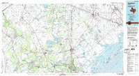 1984 Angleton1984 Print · USGSThe Texas Gulf Coast in the mid-eighties shows a landscape of salt domes and bayous at the height of its oil-and-river economy. Researchers can trace land use through the Damon Mound Oil Field and the sprawling State Department of Corrections (Retrieve Unit).2 unique versions available
 - 1994 Map of El Campo
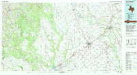 1994 El Campo1994 Print · USGSCoastal Texas in the mid-nineties shows a landscape deeply shaped by the energy industry and rail logistics. Researchers can trace the sprawling Sheridan Gas Field or locate historic rail stops in El Campo, Spanish Camp, and Provident City.
 - 2010 Map of Hungerford, 2010 Print
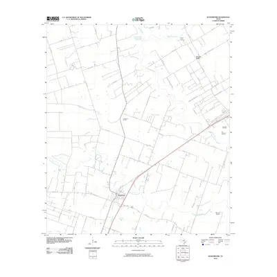 2010 Hungerford2010 Print · USGSThe coastal prairie near Hungerford and Powell Point is shown in detail during the early 2000s. Researchers can locate legacy family landmarks and burial sites like the Old Kendleton Cemetery, Blossom Prairie, and the Hungerford Oil Field.
 - 2010 Map of Kendleton, 2010 Print
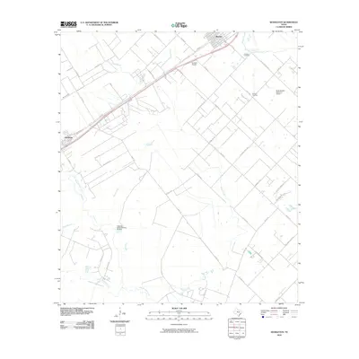 2010 Kendleton2010 Print · USGSFort Bend County's coastal prairie comes into focus in this 2010 survey of the Beasley and Kendleton area. Genealogists and local researchers can locate Friedens Cemetery and Modena Cemetery or trace the banks of the San Bernard River.
 - 2013 Map of Kendleton, 2013 Print
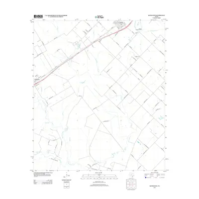 2013 Kendleton2013 Print · USGSIn the river-bottom lands of Fort Bend County, this 2013 survey captures the rural character and expanding infrastructure near the San Bernard River. Researchers can trace local heritage at Friedens Cemetery and Modena Cemetery or follow the grids of Beasley and Kendleton.
 - 2013 Map of Hungerford, 2013 Print
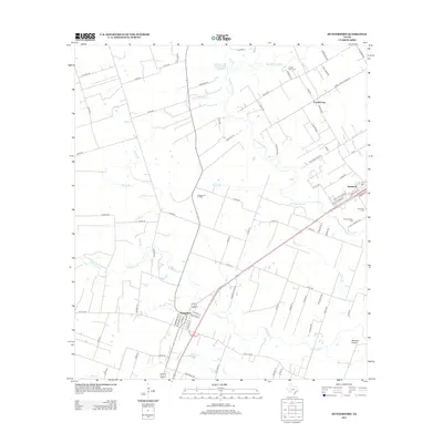 2013 Hungerford2013 Print · USGSCoastal Texas ranching and oil country come into focus in this recent survey of the Fort Bend County landscape. Genealogists and local historians can locate several historic burial grounds, including Old Kendleton Cem, and trace the industrial footprint of the Hungerford Oil Field near the San Bernard River.
 - 2016 Map of Hungerford, 2016 Print
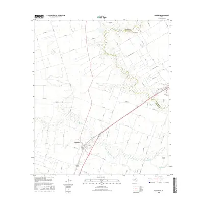 2016 Hungerford2016 Print · USGSThe Texas coastal prairie comes into focus in the mid-2010s as it spans the Wharton and Fort Bend county line. Researchers can trace the heritage of rural settlements like Kendleton and Hungerford or locate local landmarks such as Old Kendleton Cem and Powell Point.
 - 2016 Map of Kendleton, 2016 Print
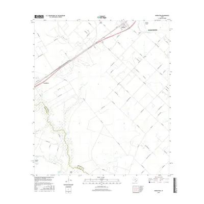 2016 Kendleton2016 Print · USGSThe agricultural plains of Fort Bend and Wharton counties are captured in the mid-2010s, showing the intersection of rural life and modern aviation. Trace local roots at Friedens Cem or follow the winding San Bernard River through Blossom Prairie.
 - 2019 Map of Hungerford, 2019 Print
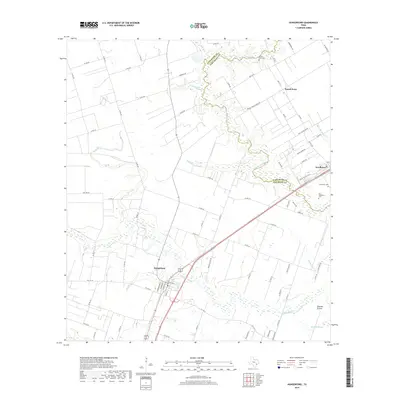 2019 Hungerford2019 Print · USGSThe border of Fort Bend and Wharton Counties is documented here in the late 2010s, showcasing the rural landscapes near the San Bernard River. Genealogists and local historians can trace family sites at the Old Kendleton Cem, Powell Point Cem, and across the wide Blossom Prairie.
 - 2019 Map of Kendleton, 2019 Print
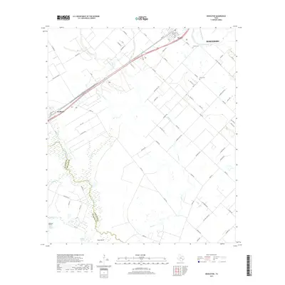 2019 Kendleton2019 Print · USGSFort Bend and Wharton counties are mapped here during the late 2010s, showing the agricultural landscape near the San Bernard River. Genealogists and researchers can trace rural burial sites at Friedens Cem and Modena Cem, or locate historic school sites along Foster School Rd.
 - 2022 Map of Kendleton, 2022 Print
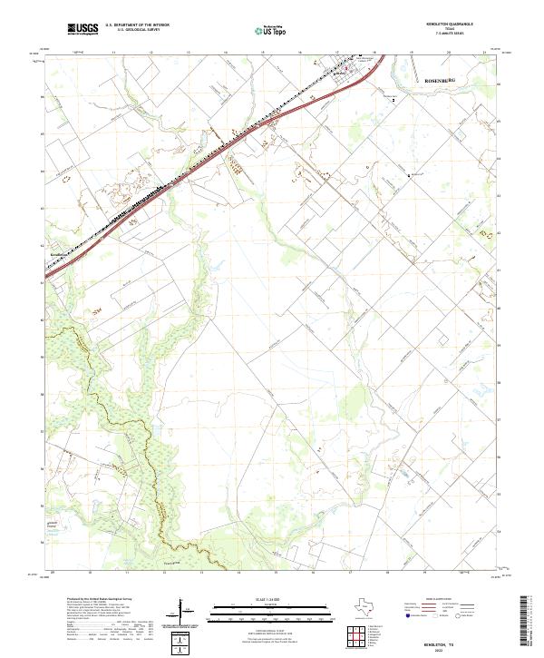 2022 Kendleton2022 Print · USGSThe Fort Bend and Wharton County line follows the San Bernard River in this modern survey of the Texas prairie. Genealogists can locate family names at Modena Cem, Friedens Cem, and the historic settlements of Kendleton and Beasley.
 - 2022 Map of Hungerford, 2022 Print
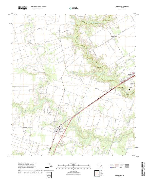 2022 Hungerford2022 Print · USGSWharton and Fort Bend counties at the start of the 2020s are captured here along the winding San Bernard River. Researchers can trace family history at the Kendleton Cem African American, Hudgins Cem, or Saint Johns Catholic Church Cem.
End of results
Showing maps 1-19 of 19
Top cities near Kendleton
- Houston historical maps
- Rosenberg historical maps
- Richmond historical maps
- Wharton historical maps
- Needville historical maps
- East Bernard historical maps
See more
Frequently asked questions
- What are the different types of historical maps available for Kendleton?
- What is the oldest map of Kendleton?
- Where can I purchase historical maps of Kendleton for my home or office?
- Where can I download high-res historical maps of Kendleton?
- Are there historical topographic maps available for Kendleton?
- Is there historical aerial imagery available for Kendleton?
- Where are historical maps of Kendleton sourced from?