Old Maps of Howe, Texas for Metal Detecting
Plan your next treasure hunt with 30 historic maps of Howe. Find old homesites, ghost towns, trails, and gathering spots that may be lost to time — perfect for identifying promising metal detecting locations.
- Locate forgotten sites: Uncover places like long-lost settlements, abandoned rail lines, or gathering spots.
- Plan better hunts: Use map overlays combined with LiDAR or satellite views to narrow in on historically rich areas.
- Made for detectorists: Thousands of hobbyists use these maps to discover relics, coins, and hidden history.
Use these historic maps to boost your research and find new opportunities beneath the surface of Howe.
Howe, TX maps
(30)- 1901 Map of Denison
 1901 Denison1901 Print · USGSThe Red River valley in the final years of the Indian Territory era was a landscape of river crossings and rail expansion. Genealogists and historians can trace the early transit networks through Willis Ferry, Cedar Mills, and the Colbert Bridge.4 unique versions available
 - 1954 Map of Sherman, 1964 Print
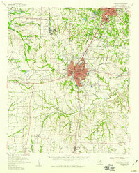
 1954 Sherman1964 Print · USGSThe Red River valley and North Texas plains are captured here in the mid-fifties, showing the region as new reservoirs like Lake Texoma and Lavon Reservoir reshaped the land. Genealogists can trace family roots through specific local landmarks like Courtney P O, Pilot Grove Sch, and New Hope Ch.2 unique versions available
 - 1958 Map of Dorchester, 1959 Print
 1958 Dorchester1959 Print · USGSGrayson County in the late fifties was a landscape of rail-connected farming communities and prairie creek beds. Genealogists and historians can trace the paths of the St Louis Southwestern railroad through Dorchester and identify old sites like Norman or Motor.2 unique versions available
 - 1958 Map of Sherman, 1959 Print
 1958 Sherman1959 Print · USGSNorth Texas and Southern Oklahoma were undergoing significant development in the late fifties as the Red River Valley transit networks matured. Researchers can trace historic family-named locations such as Saddler Bend, the grounds of Perrin AFB, and early shoreline developments at Lake Texoma.
 - 1958 Map of Sherman, 1959 Print
 1958 Sherman1959 Print · USGSGrayson County was a critical rail hub in the late fifties, dominated by the sprawling Perrin Air Force Base. Researchers can trace the lines of four major railroads and locate historic sites like Austin College, Luella Cem, and Hagerman Ch.
 - 1958 Map of Howe, 1959 Print
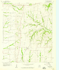
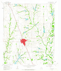
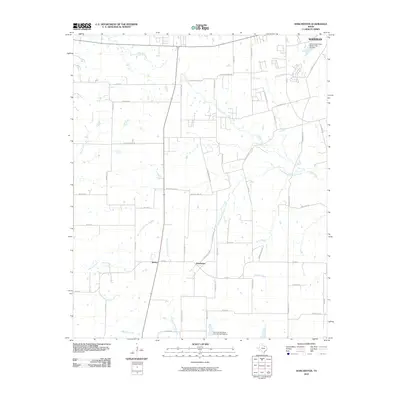
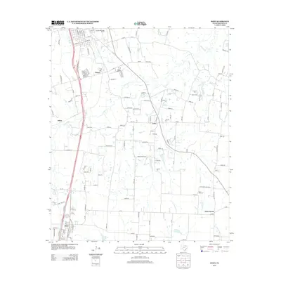
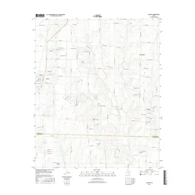
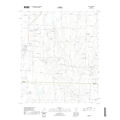
 1958 Howe1959 Print · USGSGrayson County's agricultural and transit corridors are captured here in the late fifties. Researchers can trace the path of the St Louis-San Francisco and Southern Pacific Railroad and locate family burial sites like Akers Cem and White Mound Cem.3 unique versions available
 - 1961 Map of Gunter, 1963 Print
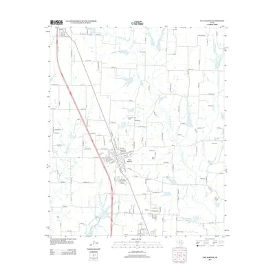
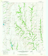 1961 Gunter1963 Print · USGSThis early 1960s survey of the North Texas prairies captures the border between Grayson and Collin counties as the rural landscape began its modern shift. Genealogists and local historians can locate several family burial grounds, including Smallwood Cem and Forbis Cem, and trace the path of the ST LOUIS SAN FRANCISCO railroad.2 unique versions available
 - 1961 Map of Van Alstyne, 1963 Print
 1961 Van Alstyne1963 Print · USGSGrayson and Collin counties are captured here in the early sixties as agricultural life and the railroad define the landscape. Genealogists can trace family names at Morris Cem and Baker Cem or locate the rural Sister Grove Ch along the winding prongs of the local creeks.2 unique versions available
 - 1985 Map of McKinney
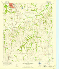
 1985 McKinney1985 Print · USGSNorth Texas in the mid-1980s was a landscape of rural communities connected by a complex web of railroads and creek systems. Researchers can trace family roots through settlements like Westminster, find local landmarks like Henslee Chapel, or map the industrial activity at various Gravel Pits.2 unique versions available
 - 1985 Map of Sherman, 1991 Print
 1985 Sherman1991 Print · USGSThe borderlands of North Texas and Southern Oklahoma are captured here in the mid-eighties, centered on the expansive waters of Lake Texoma. Researchers can trace the legacy of the regional rail economy through the Missouri-Kansas-Texas RR or explore the geography of Hagerman National Wildlife Refuge and Carpenters Bluff.
 - 2010 Map of Van Alstyne, 2010 Print
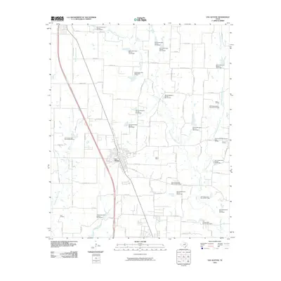 2010 Van Alstyne2010 Print · USGSCovers Howe, including Anna, Van Alstyne, and other nearby areas
 - 2010 Map of Gunter, 2010 Print
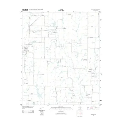
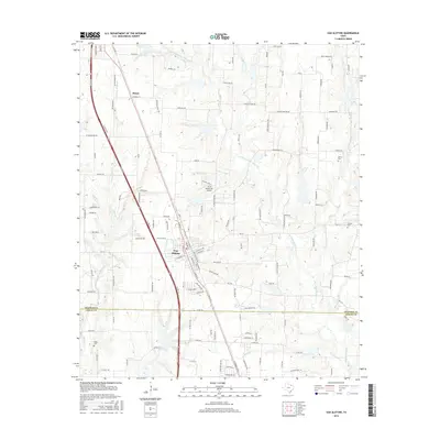
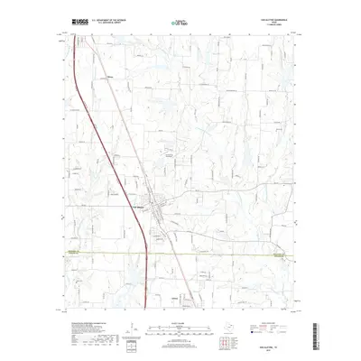
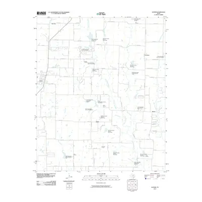 2010 Gunter2010 Print · USGSCovers Howe, including Celina, Gunter, and other nearby areas
 - 2010 Map of Howe, 2010 Print
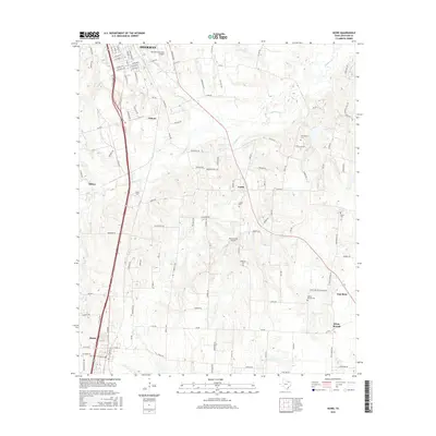
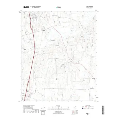
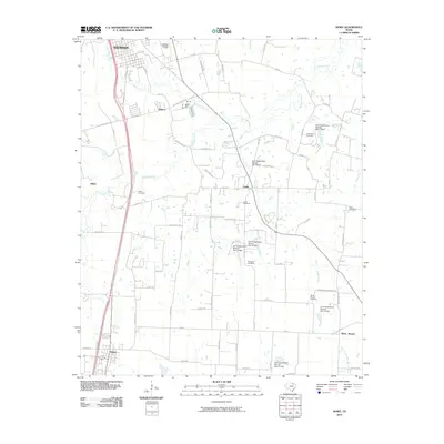 2010 Howe2010 Print · USGSCovers Howe, including Sherman, Tom Bean, and other nearby areas
 - 2010 Map of Dorchester, 2010 Print
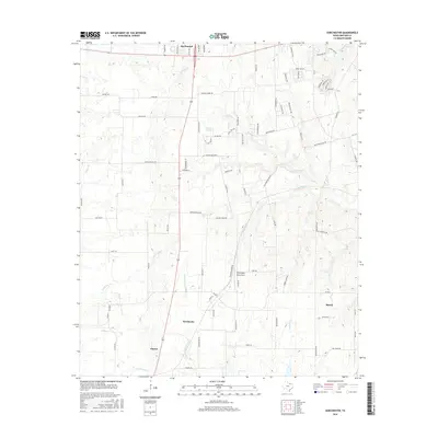
 2010 Dorchester2010 Print · USGSCovers Howe, including Sherman, Gunter, and other nearby areas
 - 2013 Map of Gunter, 2013 Print
 2013 Gunter2013 Print · USGSCovers Howe, including Celina, Gunter, and other nearby areas
 - 2013 Map of Van Alstyne, 2013 Print
 2013 Van Alstyne2013 Print · USGSCovers Howe, including Anna, Van Alstyne, and other nearby areas
 - 2013 Map of Dorchester, 2013 Print
 2013 Dorchester2013 Print · USGSCovers Howe, including Sherman, Gunter, and other nearby areas
 - 2013 Map of Howe, 2013 Print
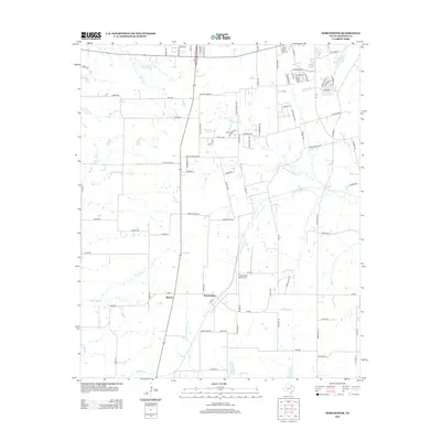
 2013 Howe2013 Print · USGSCovers Howe, including Sherman, Tom Bean, and other nearby areas
 - 2016 Map of Howe, 2016 Print
 2016 Howe2016 Print · USGSCovers Howe, including Sherman, Tom Bean, and other nearby areas
 - 2016 Map of Van Alstyne, 2016 Print
 2016 Van Alstyne2016 Print · USGSCovers Howe, including Anna, Van Alstyne, and other nearby areas
 - 2016 Map of Dorchester, 2016 Print
 2016 Dorchester2016 Print · USGSCovers Howe, including Sherman, Gunter, and other nearby areas
 - 2016 Map of Gunter, 2016 Print
 2016 Gunter2016 Print · USGSCovers Howe, including Celina, Gunter, and other nearby areas
 - 2019 Map of Howe, 2019 Print
 2019 Howe2019 Print · USGSCovers Howe, including Sherman, Tom Bean, and other nearby areas
 - 2019 Map of Van Alstyne, 2019 Print
 2019 Van Alstyne2019 Print · USGSCovers Howe, including Anna, Van Alstyne, and other nearby areas
 - 2019 Map of Gunter, 2019 Print
 2019 Gunter2019 Print · USGSCovers Howe, including Celina, Gunter, and other nearby areas
Showing maps 1-25 of 30
Top cities near Howe
- McKinney historical maps
- Sherman historical maps
- Denison historical maps
- Anna historical maps
- Melissa historical maps
- Celina historical maps
See more
Frequently asked questions
- What are the different types of historical maps available for Howe?
- What is the oldest map of Howe?
- Where can I purchase historical maps of Howe for my home or office?
- Where can I download high-res historical maps of Howe?
- Are there historical topographic maps available for Howe?
- Is there historical aerial imagery available for Howe?
- Where are historical maps of Howe sourced from?