2020s Maps of Hardin County, Texas
Explore 26 historic maps of Hardin County from the 2020s. These maps offer a rare glimpse into what life looked like during the 2020s — showing old roads, neighborhoods, homes, and landmarks that have changed or disappeared over time.
Whether you're researching your family's past, planning a metal detecting trip, or studying how Hardin County's landscape evolved across the 2020s, these high-resolution maps are a powerful tool for exploring the history of this region.
- Focus on a specific era: All maps on this page are from the 2020s, giving you a focused view of this time period.
- See what’s changed: Compare century-old streets, trails, and buildings to today's modern landscape using overlays and satellite layers.
- Research with precision: Use these maps for genealogy, historical research, land use analysis, or educational projects.
- View, download, or print: Maps are fully viewable online in high resolution, and can be downloaded or printed for your own records.
Start exploring Hardin County's history through authentic maps from the 2020s. This is your window into the past.
Hardin County, TX maps
(26)- 2022 Map of Sour Lake, 2022 Print
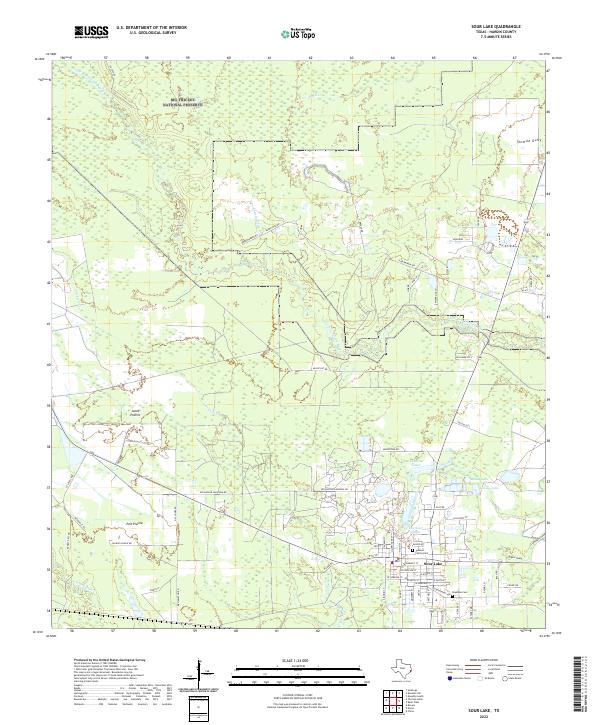 2022 Sour Lake2022 Print · USGSSour Lake and the surrounding Hardin County timberlands are shown here in the early twenty-first century. Genealogists and local historians can trace property lines near Pelt Prairie, locate the Jackson Family Cem, and follow the winding path of Pine Island Bayou.
 - 2022 Map of Jacks Creek South, 2022 Print
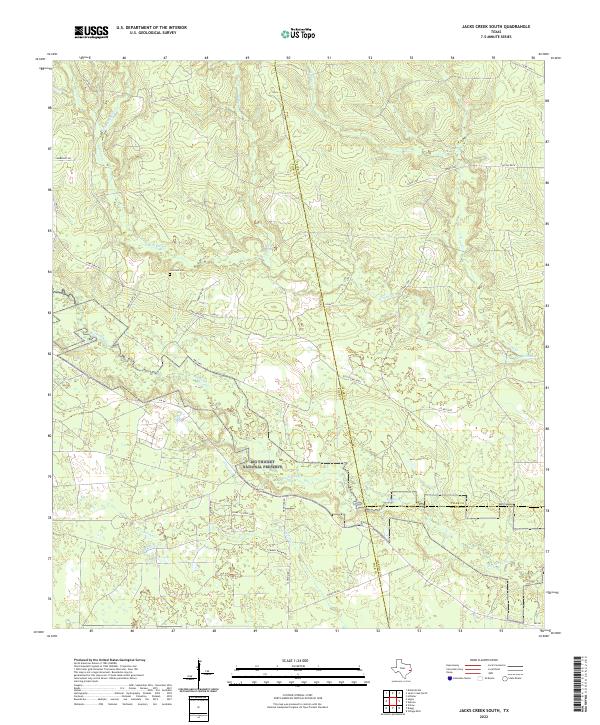 2022 Jacks Creek South2022 Print · USGSThe Piney Woods where Polk, Tyler, and Hardin counties meet is captured here in the early twenty-first century. Genealogists and researchers can locate Simmons Cem, the settlement of Lasalle, and the protected reaches of the Big Thicket National Preserve.
 - 2022 Map of Bragg, 2022 Print
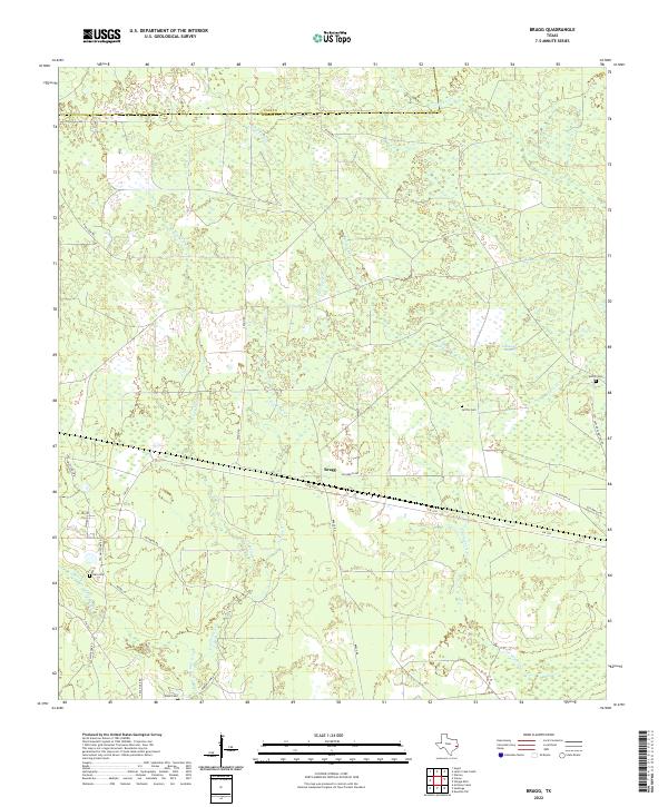 2022 Bragg2022 Print · USGSHardin County and the southern edge of Polk County are captured here in a 2022 survey of the Big Thicket region. Genealogists can trace family heritage at Sutton Cem, Griffin Cem, and Felps Cem near the small community of Bragg.
 - 2022 Map of Nome, 2022 Print
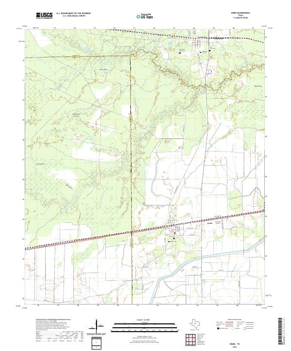 2022 Nome2022 Print · USGSCoastal Texas prairies and bayous define this landscape at the intersection of Hardin and Jefferson counties. Researchers can trace family history through several burial grounds, including Grayburg Black Cem and Pivoto Cem, or locate landmarks like the Farm Air Service.
 - 2022 Map of Arizona Creek, 2022 Print
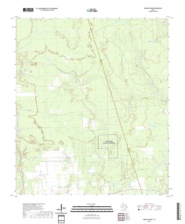 2022 Arizona Creek2022 Print · USGSCoastal plains and protected bottomlands meet along the Liberty and Hardin county border in this recent survey. Researchers can trace the boundaries of the Big Thicket National Preserve and find local landmarks like Omnnex Oil and Arizona Cr.
 - 2022 Map of Village Mills, 2022 Print
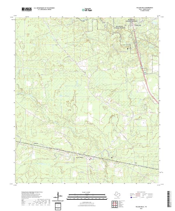 2022 Village Mills2022 Print · USGSHardin County's timberlands and bayous are documented here in the early twenty-first century, showing the rural settlements within the Big Thicket National Preserve. Genealogists can locate Jordan Cem and trace old routes through Honey Island and Village Mills.
 - 2022 Map of Tater Patch Lake, 2022 Print
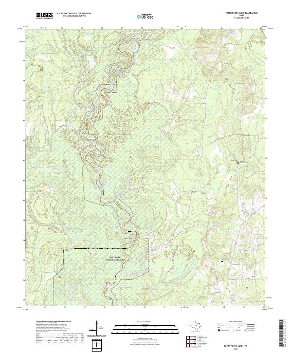 2022 Tater Patch Lake2022 Print · USGSThe river bottomlands of the Neches River valley are captured in this recent survey at the meeting point of Jasper, Tyler, and Hardin Counties. Genealogists can locate family burial sites at Withers Cem or Denman Cem near the borders of the Big Thicket National Preserve.
 - 2022 Map of Hicksbaugh, 2022 Print
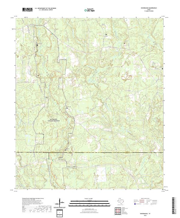 2022 Hicksbaugh2022 Print · USGSThe East Texas piney woods are documented here in the early twenty-first century, centered on the Big Thicket National Preserve. Researchers can locate numerous local burial sites like Bumstead Cem and trace the winding course of Turkey Creek.
 - 2022 Map of Thorson Gully, 2022 Print
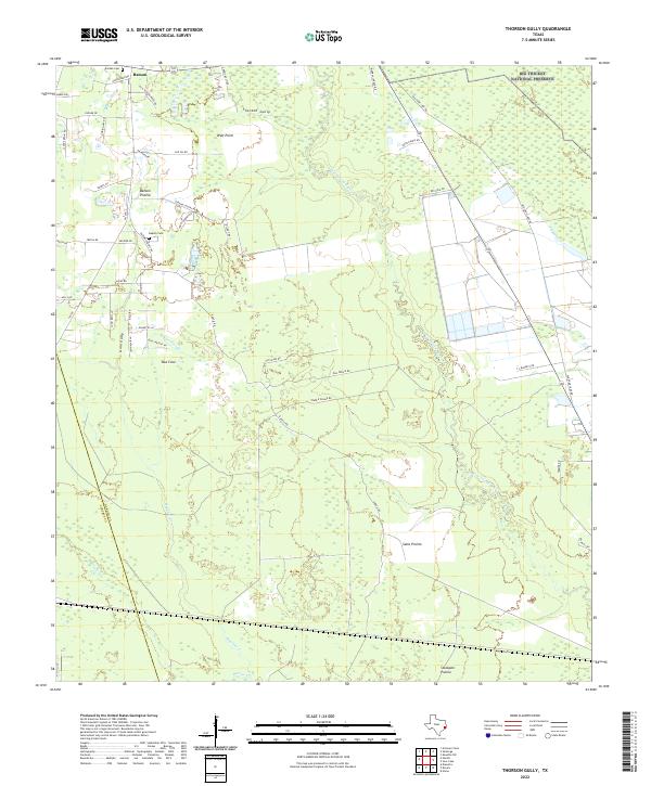 2022 Thorson Gully2022 Print · USGSNear the Big Thicket in the early twenty-first century, this Hardin County area preserves a mosaic of coastal prairies and dense bayou bottomlands. Genealogists and local historians can trace old homestead sites near Batson and find family records at Guedry Cem and Jordan Cem.
 - 2022 Map of Deserter Baygall, 2022 Print
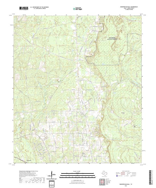 2022 Deserter Baygall2022 Print · USGSHardin County's dense bottomlands and rural settlements are shown here as they appeared in the early 2020s. Researchers can locate family landmarks such as Hooks - Cravey Cem and Caney Head among the wetlands of Deserter Baygall.
 - 2022 Map of Kountze SW, 2022 Print
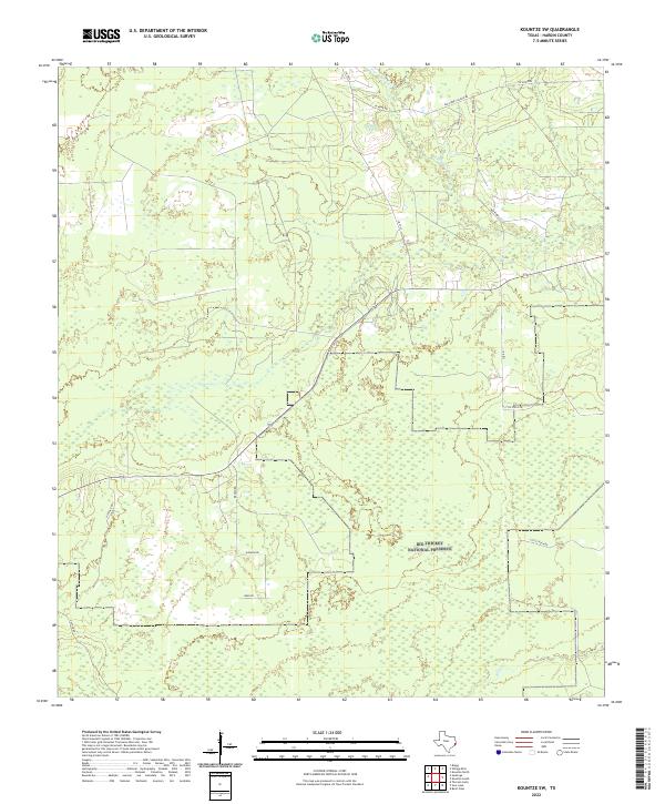 2022 Kountze SW2022 Print · USGSHardin County is shown in recent years as a landscape of dense woods and protected wilderness. You can trace rural family-named routes like Matthews Ln and Cash Rd where they meet the borders of the Big Thicket National Preserve.
 - 2022 Map of Fred, 2022 Print
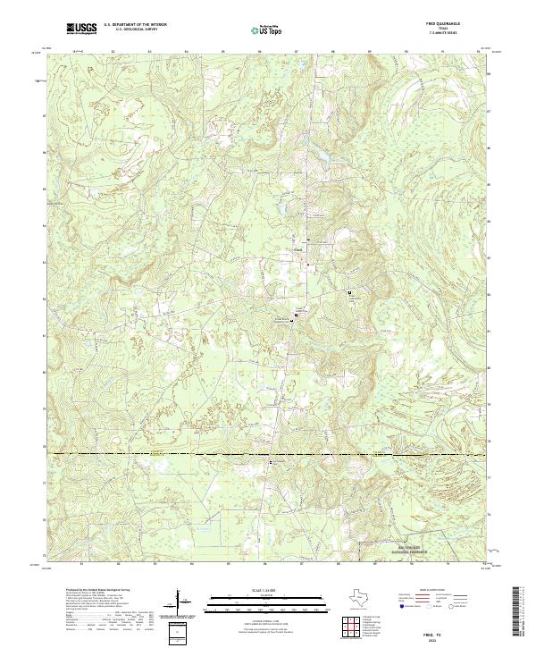 2022 Fred2022 Print · USGSThe rural timberlands of Tyler and Hardin Counties come into focus in this contemporary survey of the Piney Woods. Genealogists can trace local family history through several burial sites including Cunningham Cem, Baker - Bell Cem, and the Franks Branch Cem.
 - 2022 Map of Devers, 2022 Print
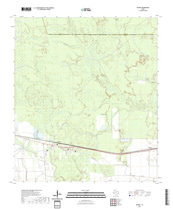 2022 Devers2022 Print · USGSThe coastal prairie of Liberty County comes into focus here during the early twenty-first century, centered on the community of Devers. Family historians can trace local roots through several burial sites like Whittington Cem and Sahara Cem while following the winding paths of Batiste Cr.
 - 2022 Map of China, 2022 Print
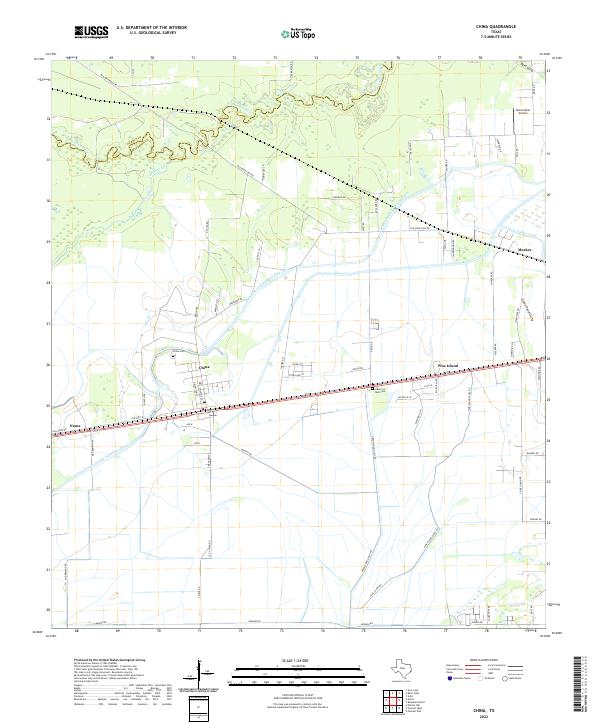 2022 China2022 Print · USGSCoastal prairie and managed waterways define this Jefferson County landscape in the early twenty-first century. Researchers can trace local heritage at China Cem, locate the Stonecipher Airport, and follow the path of the Lower Neches Valley Authority Canal.
 - 2022 Map of Franklin Lake, 2022 Print
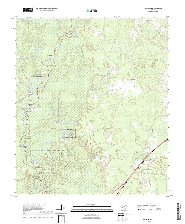 2022 Franklin Lake2022 Print · USGSThe Neches River bottomlands at the Jasper and Hardin county line are captured here in the early twenty-first century. Genealogists and local historians can trace family landmarks like Antioch Cem, Peach Tree Point, and the many sloughs of the Big Thicket National Preserve.
 - 2022 Map of Hardin, 2022 Print
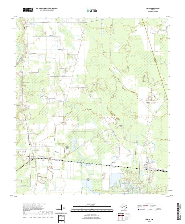 2022 Hardin2022 Print · USGSHardin and the surrounding Liberty County prairie lands are documented here in the early twenty-first century as the local rural economy continues to evolve. Researchers can locate the Moss Hill Cem, the Circle C Ranch Airport, and old prairie landmarks like Batiste Prairie.
 - 2022 Map of Votaw, 2022 Print
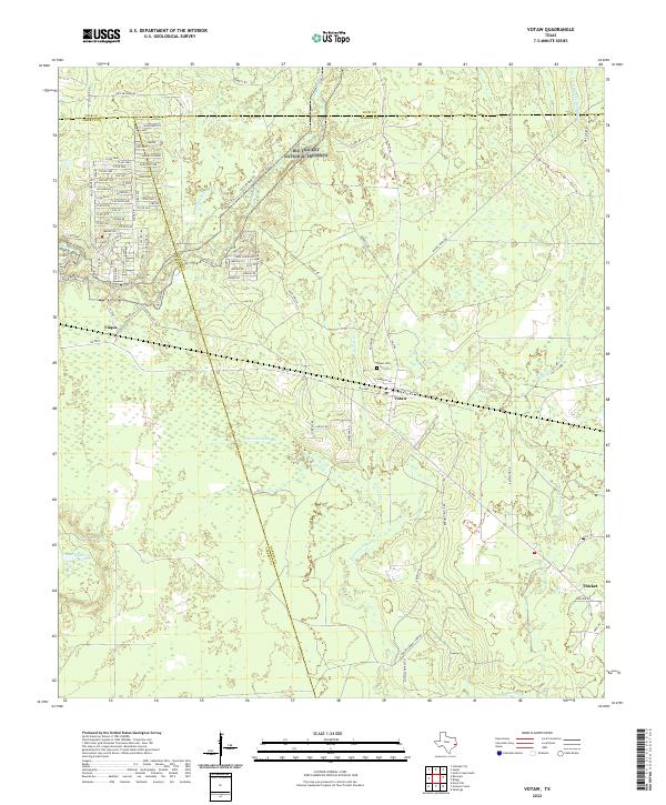 2022 Votaw2022 Print · USGSHardin and Liberty Counties come alive in this recent survey of the Big Thicket region. Researchers can trace family history at the Votaw Cem or locate the rural communities of Votaw, Fuqua, and Thicket among the winding bayous.
 - 2022 Map of Kountze South, 2022 Print
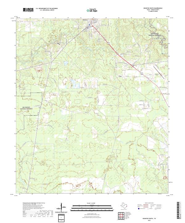 2022 Kountze South2022 Print · USGSHardin County's timberlands and county seat are documented in this recent survey of the Southeast Texas piney woods. Researchers can trace family history at the Old Hardin Cem and Wheeler Cem or explore the boundaries of the Big Thicket National Preserve.
 - 2022 Map of Silsbee, 2022 Print
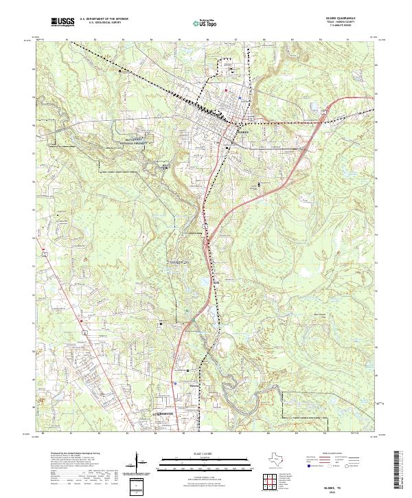 2022 Silsbee2022 Print · USGSSilsbee and Lumberton are shown at a period of modern expansion into the surrounding Texas piney woods and wetlands. Researchers can trace numerous family burial sites like Hickory Grove Cem and Knupple Cem or explore the waterways of the Big Thicket National Preserve.
 - 2022 Map of Saratoga, 2022 Print
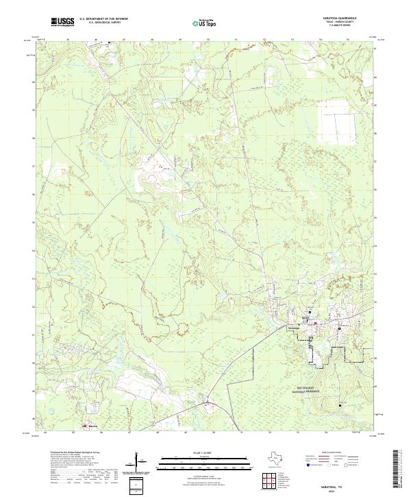 2022 Saratoga2022 Print · USGSThe Piney Woods of Hardin County come alive in the early twenty-first century, showing the intersection of conservation and settlement. Researchers can trace family sites at Oiltown Cemetery or follow the path of the old Durden Tram through the Big Thicket National Preserve.
 - 2022 Map of Evadale, 2022 Print
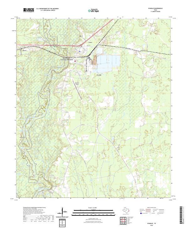 2022 Evadale2022 Print · USGSSoutheast Texas river country comes to life in this contemporary study of the Jasper and Hardin county line. Trace the winding Neches River past historical sites like Wiess Bluff, the Craig Cem, and the vast Big Thicket National Preserve.
 - 2022 Map of Pine Forest, 2022 Print
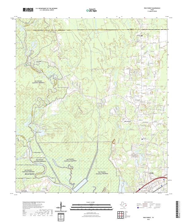 2022 Pine Forest2022 Print · USGSThe Orange County community of Pine Forest and northern Vidor are shown here amidst the protected wetlands of the twenty-first century. Researchers can locate Williamson Cem, trace the course of the Wiess Canal, and explore the banks of the Neches River.
 - 2022 Map of Voth, 2022 Print
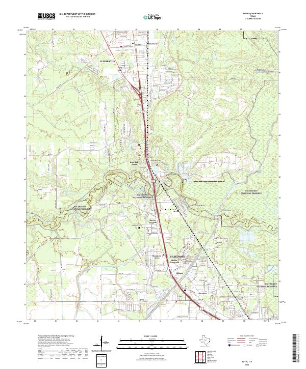 2022 Voth2022 Print · USGSCoastal Texas near the Hardin and Jefferson county line comes to life in this modern survey of the Big Thicket region. Genealogists and local historians can trace family ties at Old Voth Community Cem or explore the wooded reaches of Pine Island Bayou and Goat Island.
 - 2022 Map of Kountze North, 2022 Print
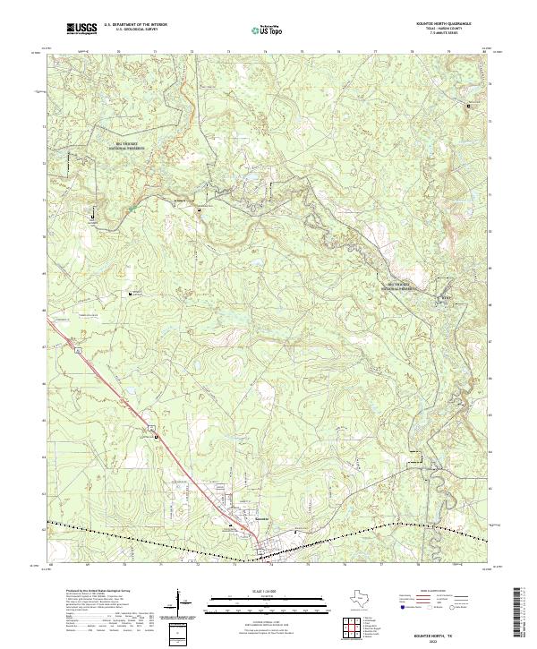 2022 Kountze North2022 Print · USGSHardin County's timberlands and conservation areas are mapped here in the early 2020s, centered on the Kountze area and the Big Thicket National Preserve. Researchers can locate numerous family burial sites, including Old Olive Cem, McKinney Cem, and Daniel's Cem.
 - 2022 Map of Bevil Oaks, 2022 Print
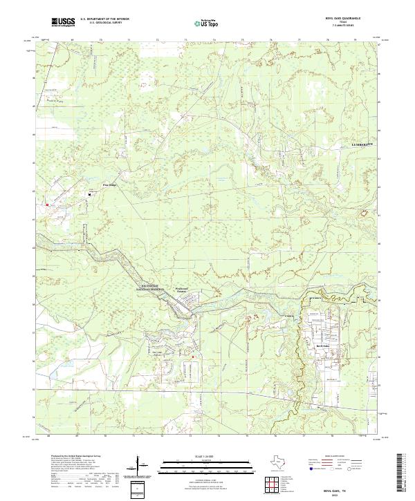 2022 Bevil Oaks2022 Print · USGSSoutheast Texas at the edge of the Big Thicket reveals a landscape defined by bayous and newer suburban enclaves. Researchers can locate the Pine Ridge Cem and trace the winding paths of Little Pine Island Bayou and Coon Marsh Gully.
Showing maps 1-25 of 26
Top cities of Hardin County
- Lumberton historical maps
- Silsbee historical maps
- Kountze historical maps
- Sour Lake historical maps
- Rose Hill Acres historical maps
Frequently asked questions
- What are the different types of historical maps available for Hardin County?
- What is the oldest map of Hardin County?
- Where can I purchase historical maps of Hardin County for my home or office?
- Where can I download high-res historical maps of Hardin County?
- Are there historical topographic maps available for Hardin County?
- Is there historical aerial imagery available for Hardin County?
- Where are historical maps of Hardin County sourced from?