2000s (21st Century) Maps of Hardin County, Texas
Explore 130 historic maps of Hardin County from the 2000s (21st Century). These maps offer a rare glimpse into what life looked like during the 2000s — showing old roads, neighborhoods, homes, and landmarks that have changed or disappeared over time.
Whether you're researching your family's past, planning a metal detecting trip, or studying how Hardin County's landscape evolved across the 2000s, these high-resolution maps are a powerful tool for exploring the history of this region.
- Focus on a specific era: All maps on this page are from the 2000s, giving you a focused view of this time period.
- See what’s changed: Compare century-old streets, trails, and buildings to today's modern landscape using overlays and satellite layers.
- Research with precision: Use these maps for genealogy, historical research, land use analysis, or educational projects.
- View, download, or print: Maps are fully viewable online in high resolution, and can be downloaded or printed for your own records.
Start exploring Hardin County's history through authentic maps from the 2000s. This is your window into the past.
Hardin County, TX maps
(130)- 2010 Map of Jacks Creek South, 2010 Print
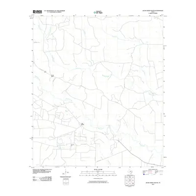 2010 Jacks Creek South2010 Print · USGSPolk County timber and oil country are well-established by the early twenty-first century, showing a landscape shaped by rural industry. Genealogists and local historians can trace the roads around Camp Seale, the Segno Oil Field, and the settlement of Oak Shade.
 - 2010 Map of Fred, 2010 Print
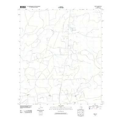 2010 Fred2010 Print · USGSThe rural landscape near Fred is captured here in the early twenty-first century, showing a region defined by piney woods and petroleum. Genealogists can trace family-named routes like McGallion Rd and landmarks including the Jackson-Doty Oil Field.
 - 2010 Map of Deserter Baygall, 2010 Print
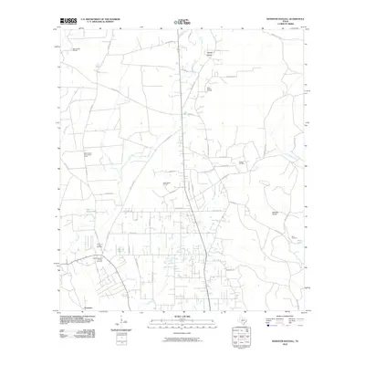 2010 Deserter Baygall2010 Print · USGSHardin County's petroleum and timber landscapes are captured here as they appeared in 2010. Genealogists and historians can locate Hooks Cravey Cemetery, the rural settlement of Caney Head, and the Smart School Fire Lookout Tower.
 - 2010 Map of Kountze SW, 2010 Print
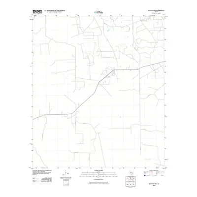 2010 Kountze SW2010 Print · USGSHardin County at the start of the decade shows a quiet rural landscape defined by its waterways and family-named roads. Genealogists and local historians can trace property access via Sam Brown Rd and follow the path of Cypress Creek.
 - 2010 Map of Sour Lake, 2010 Print
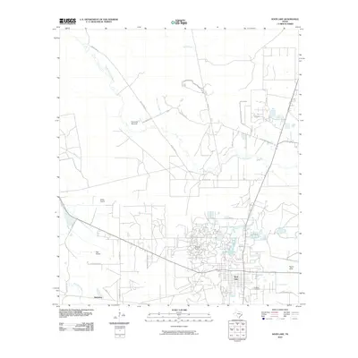 2010 Sour Lake2010 Print · USGSSour Lake and its surrounding oil fields are captured here during the first decade of the millennium. Researchers can trace local lineage at Rosedale Cemetery or explore the geography of The Sour Lakes and Fourmile Burnout.
 - 2010 Map of Tater Patch Lake, 2010 Print
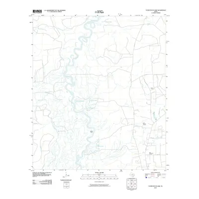 2010 Tater Patch Lake2010 Print · USGSThe Neches River bottomlands are captured here in the early twenty-first century, showing a landscape shaped by water and industry. Genealogists and local historians can trace family ties at Withers Cemetery or locate the Sally Withers Lake Oil Field and Cairo Springs Lookout.
 - 2010 Map of Hicksbaugh, 2010 Print
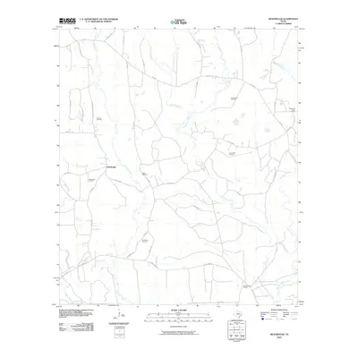 2010 Hicksbaugh2010 Print · USGSDeep in Tyler County during the early 2010s, this area shows a landscape defined by timber, oil, and small rural communities. Genealogists and historians can trace family locations near Hicksbaugh or locate the Gardner Cemetery, Hester Cemetery, and Richardson Cemetery.
 - 2010 Map of Bragg, 2010 Print
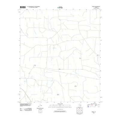 2010 Bragg2010 Print · USGSThe rural landscape of Hardin County in the early twenty-first century is defined here by timber history and winding bayous. Genealogists and local researchers can locate Griffin Cemetery, trace the path of Little Pine Island Bayou, and explore sites like Thicket Siding.
 - 2010 Map of Devers, 2010 Print
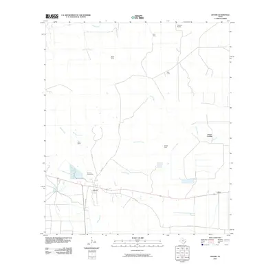 2010 Devers2010 Print · USGSSoutheast Texas at the start of the decade shows a landscape shaped by coastal prairie agriculture and intricate bayou drainage. Genealogists and local historians can trace family-named sites and rural hubs like Devers, Felicia, and the Stephen Meche Dam.
 - 2010 Map of Thorson Gully, 2010 Print
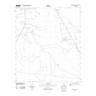 2010 Thorson Gully2010 Print · USGSCoastal prairie and oil industry operations meet in this Hardin County survey from the early twenty-first century. Genealogists and local historians can locate the Guedry Cemetery and trace the drainage of Pine Island Bayou past the New Batson Oil Field.
 - 2010 Map of Village Mills, 2010 Print
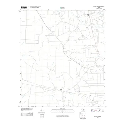 2010 Village Mills2010 Print · USGSHardin County settlements and winding creek bottoms are captured here in the early twenty-first century. Genealogists and local historians can trace family locations near Holland Cemetery, the community of Honey Island, and the drainage of Bad Luck Creek.
 - 2010 Map of Kountze South, 2010 Print
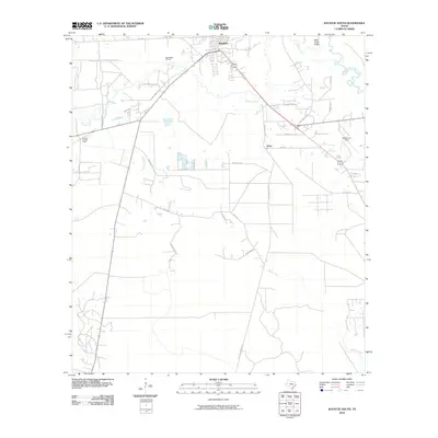 2010 Kountze South2010 Print · USGSHardin County's timber and oil heritage is etched into the landscape south of Kountze in the early twenty-first century. Researchers can trace family sites and industry via Nona Mills Oil Field, Sapp Graveyard Rd, and the Kountze Lookout Tower.
 - 2010 Map of Saratoga, 2010 Print
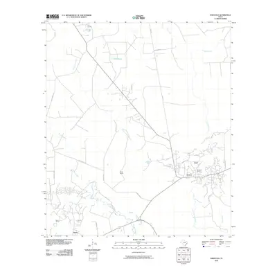 2010 Saratoga2010 Print · USGSHardin County oil and timber lands are captured here in the early twenty-first century, showing the enduring footprint of the Texas Big Thicket's industry. Researchers can trace the Durden Tram through the bayous or locate family sites near Middle Town Cemetery and the Saratoga Oil Field.
 - 2010 Map of Kountze North, 2010 Print
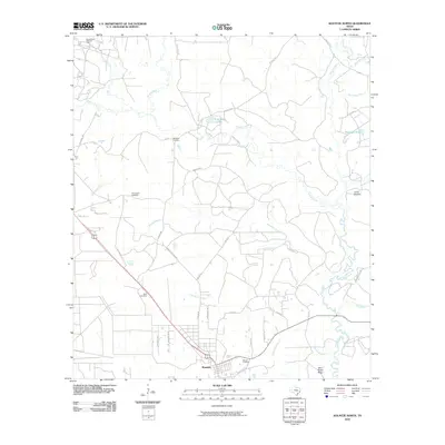 2010 Kountze North2010 Print · USGSKountze and the surrounding timberlands of Hardin County appear in the early twenty-first century as a network of creek branches and rural roads. Genealogists can locate several historic burial sites like Olive Cemetery and Daniels Cemetery or trace the East Village Mills Oil Field.
 - 2010 Map of Evadale, 2010 Print
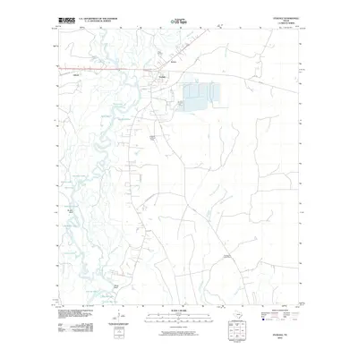 2010 Evadale2010 Print · USGSThe riverine environment of Jasper County comes into focus in this early 21st-century record of the Neches basin. Researchers can locate the Craig Cemetery, trace the settlement at Evadale, and explore the complex waterways of Big Mac Lake and Wiess Bluff.
 - 2010 Map of Pine Forest, 2010 Print
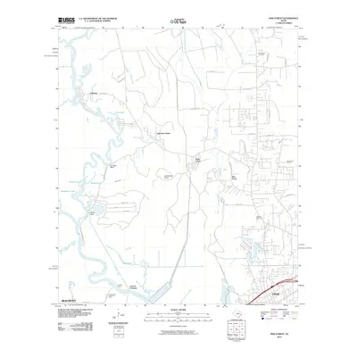 2010 Pine Forest2010 Print · USGSThe riverfront and timberlands north of Beaumont and Vidor are shown here in the early twenty-first century as suburban growth meets historical river crossings. Researchers can locate family landmarks such as Williamson Cemetery and trace old routes at Colliers Ferry and Lawson Crossing.
 - 2010 Map of Silsbee, 2010 Print
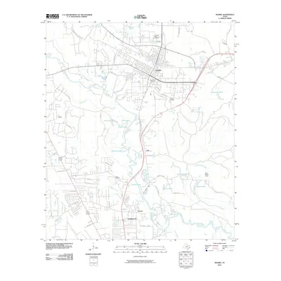 2010 Silsbee2010 Print · USGSSilsbee and Lumberton are shown during a period of modern expansion in the early twenty-first century. Local historians can trace family burial sites at Peaceful Rest Cemetery and Hook Cemetery or locate the distinctive Blue Hole along the creek.
 - 2010 Map of Voth, 2010 Print
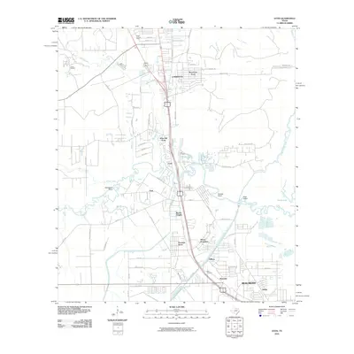 2010 Voth2010 Print · USGSThe northern reaches of Beaumont and Lumberton are shown at the turn of the decade, featuring the dense waterways of the Pine Island Bayou. Researchers can locate the Ariola Oil Field, identify family plots at Spell Cemetery, and trace the path of the Lower Neches Valley Authority Canal.
 - 2010 Map of Bevil Oaks, 2010 Print
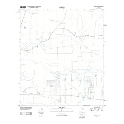 2010 Bevil Oaks2010 Print · USGSSoutheast Texas near the turn of the decade shows a landscape where residential expansion meets a complex bayou system. Trace the development of communities like Bevil Oaks and Bevil Acres alongside natural landmarks such as Sour Lake Prairie and Fertitta Lake.
 - 2010 Map of Hardin, 2010 Print
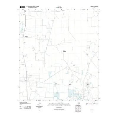 2010 Hardin2010 Print · USGSLiberty County communities and coastal prairie wetlands are documented here in the early 21st century. Researchers can trace family roots through Moss Hill Cemetery and locate historical community clusters at Tanner Settlement, Dowdel Settlement, and Pedeco.
 - 2010 Map of Franklin Lake, 2010 Print
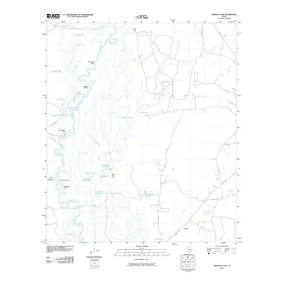 2010 Franklin Lake2010 Print · USGSThe Neches River bottomlands in Southeast Texas are shown here in detail during the early 21st century. Researchers can trace river landings and old routes like Gore Landing, Old Tram Rd, and the uniquely named Cocklebur Bend.
 - 2010 Map of Votaw, 2010 Print
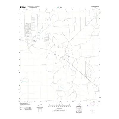 2010 Votaw2010 Print · USGSHardin County timberlands and rural settlements are documented here during the early 2000s. Genealogists and local historians can trace family-named roads and landmarks like Hoop and Holler, the Wild Cow Marsh, and the community of Votaw.
 - 2010 Map of Arizona Creek, 2010 Print
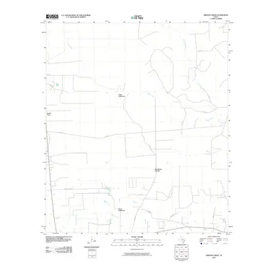 2010 Arizona Creek2010 Print · USGSLiberty County in the early twenty-first century remains a landscape of dense pine woods and winding bayous. Genealogists and local historians can trace the rural layout of Ducat Settlement, Vanva Settlement, and the drainages of Arizona Creek.
 - 2010 Map of Warren, 2010 Print
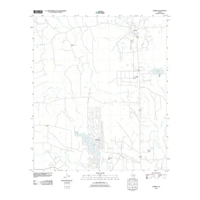 2010 Warren2010 Print · USGSSoutheast Texas at the start of the decade shows a landscape of established oil fields and creek-side settlements. Genealogists and researchers can locate Fellowship Cemetery, the community of Wildwood on Lake Kimball, and the historic Warren Cemetery.
 - 2010 Map of Nome, 2010 Print
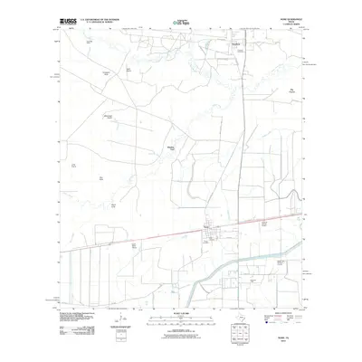 2010 Nome2010 Print · USGSCoastal prairie and oil industry infrastructure define this Southeast Texas landscape near the turn of the millennium. Researchers can locate family burial sites at Grayburg Cemetery and Pivoto Cemetery or trace landmarks like the Nome Oil Field.
Showing maps 1-25 of 130
Top cities of Hardin County
- Lumberton historical maps
- Silsbee historical maps
- Kountze historical maps
- Sour Lake historical maps
- Rose Hill Acres historical maps
Frequently asked questions
- What are the different types of historical maps available for Hardin County?
- What is the oldest map of Hardin County?
- Where can I purchase historical maps of Hardin County for my home or office?
- Where can I download high-res historical maps of Hardin County?
- Are there historical topographic maps available for Hardin County?
- Is there historical aerial imagery available for Hardin County?
- Where are historical maps of Hardin County sourced from?