2000s (21st Century) Maps of Howard County, Texas
Explore 125 historic maps of Howard County from the 2000s (21st Century). These maps offer a rare glimpse into what life looked like during the 2000s — showing old roads, neighborhoods, homes, and landmarks that have changed or disappeared over time.
Whether you're researching your family's past, planning a metal detecting trip, or studying how Howard County's landscape evolved across the 2000s, these high-resolution maps are a powerful tool for exploring the history of this region.
- Focus on a specific era: All maps on this page are from the 2000s, giving you a focused view of this time period.
- See what’s changed: Compare century-old streets, trails, and buildings to today's modern landscape using overlays and satellite layers.
- Research with precision: Use these maps for genealogy, historical research, land use analysis, or educational projects.
- View, download, or print: Maps are fully viewable online in high resolution, and can be downloaded or printed for your own records.
Start exploring Howard County's history through authentic maps from the 2000s. This is your window into the past.
Howard County, TX maps
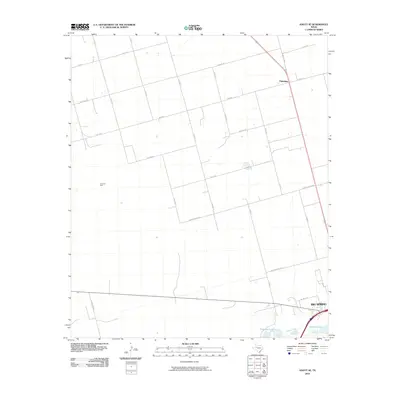
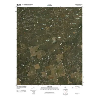
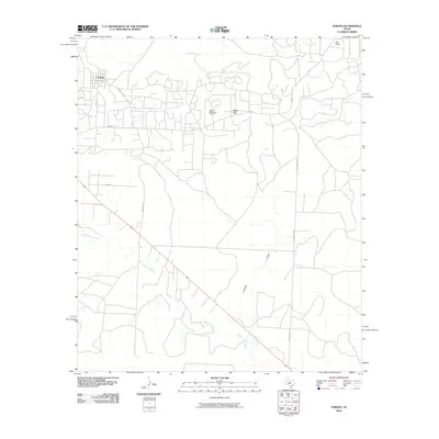
(125)- 2010 Map of Vincent, 2010 Print
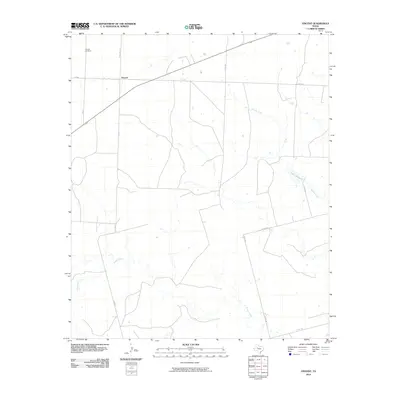 2010 Vincent2010 Print · USGSCovers Howard County, including Vincent, Mitchell County, and other nearby areas
 - 2010 Map of Coahoma, 2010 Print
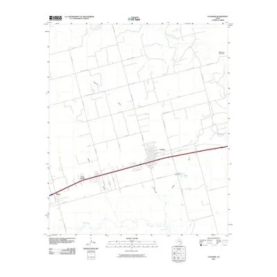 2010 Coahoma2010 Print · USGSCovers Howard County, including Coahoma, Midway, and other nearby areas
 - 2010 Map of Hyman, 2010 Print
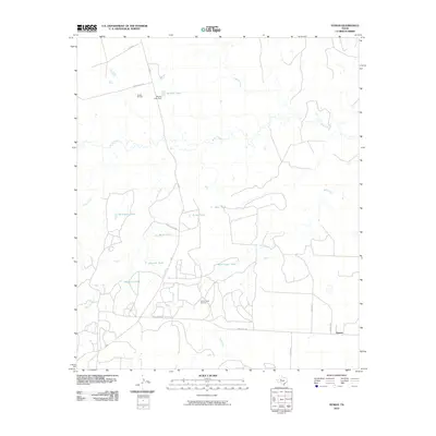 2010 Hyman2010 Print · USGSCovers Howard County, including Hyman, Mitchell County, and other nearby areas
 - 2010 Map of Iatan, 2010 Print
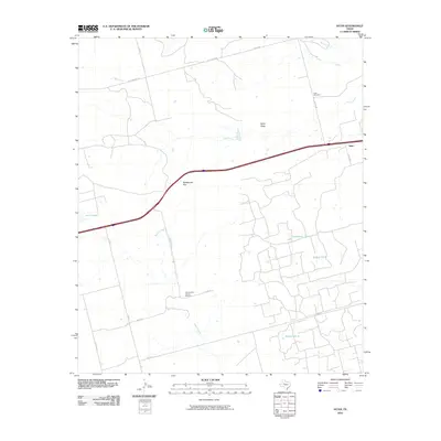 2010 Iatan2010 Print · USGSCovers Howard County, including Iatan, Mitchell County, and other nearby areas
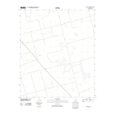
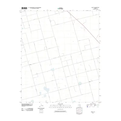
 - 2010 Map of Knott SE, 2010 Print
 2010 Knott SE2010 Print · USGSCovers Howard County, including Big Spring, Fairview, and other nearby areas
 - 2010 Map of Luther, 2010 Print
 2010 Luther2010 Print · USGSCovers Howard County, including Luther, United States, and other nearby areas
 - 2010 Map of Gunsight Draw SE, 2010 Print
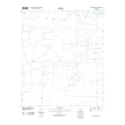 2010 Gunsight Draw SE2010 Print · USGSCovers Howard County, including Borden County, United States, and other nearby areas
 - 2010 Map of Gunsight Draw, 2010 Print
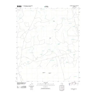 2010 Gunsight Draw2010 Print · USGSCovers Howard County, including Borden County, United States, and other nearby areas
 - 2010 Map of Ira SW, 2010 Print
 2010 Ira SW2010 Print · USGSCovers Howard County, including Scurry County, Borden County, and other nearby areas
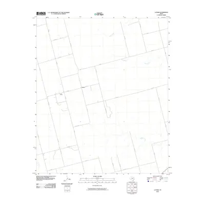
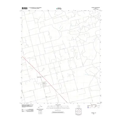
 - 2010 Map of Ackerly, 2010 Print
 2010 Ackerly2010 Print · USGSCovers Howard County, including Ackerly, Borden County, and other nearby areas
 - 2010 Map of Vealmoor, 2010 Print
 2010 Vealmoor2010 Print · USGSCovers Howard County, including Vealmoor, Borden County, and other nearby areas
 - 2010 Map of Hayrick Mountain, 2010 Print
 2010 Hayrick Mountain2010 Print · USGSCovers Howard County, including Sterling County, Mitchell County, and other nearby areas
 - 2010 Map of Knott NE, 2010 Print
 2010 Knott NE2010 Print · USGSCovers Howard County, including United States, Texas, and other nearby areas
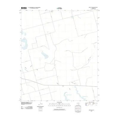
 - 2010 Map of Lees, 2010 Print
 2010 Lees2010 Print · USGSCovers Howard County, including Lees, Glasscock County, and other nearby areas
 - 2010 Map of Knott SW, 2010 Print
 2010 Knott SW2010 Print · USGSCovers Howard County, including Martin County, United States, and other nearby areas
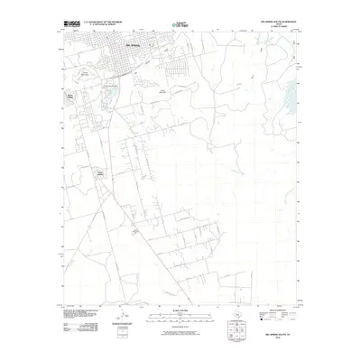
 - 2010 Map of Big Spring North, 2010 Print
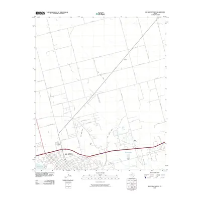 2010 Big Spring North2010 Print · USGSCovers Howard County, including Big Spring, Ziler, and other nearby areas
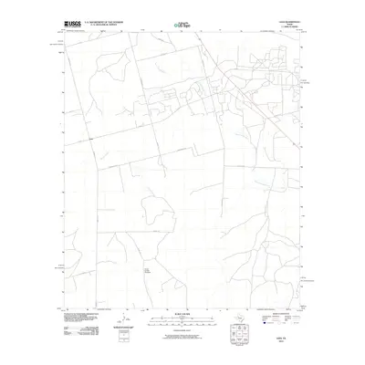
 - 2010 Map of Knott, 2010 Print
 2010 Knott2010 Print · USGSCovers Howard County, including Brown, Knott, and other nearby areas
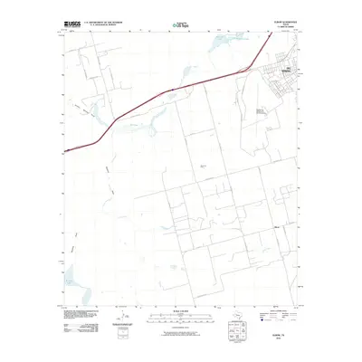
 - 2010 Map of Big Spring South, 2010 Print
 2010 Big Spring South2010 Print · USGSCovers Howard County, including Big Spring, United States, and other nearby areas
 - 2010 Map of Big Spring North NE, 2010 Print
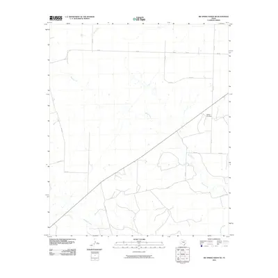 2010 Big Spring North NE2010 Print · USGSCovers Howard County, including United States, Texas, and other nearby areas
 - 2010 Map of Elbow, 2010 Print
 2010 Elbow2010 Print · USGSCovers Howard County, including Big Spring, Elbow, and other nearby areas
 - 2010 Map of Forsan, 2010 Print
 2010 Forsan2010 Print · USGSCovers Howard County, including Forsan, Ross City, and other nearby areas
 - 2010 Map of Lucian Wells Ranch, 2010 Print
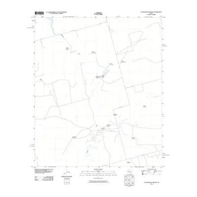 2010 Lucian Wells Ranch2010 Print · USGSCovers Howard County, including Glasscock County, United States, and other nearby areas
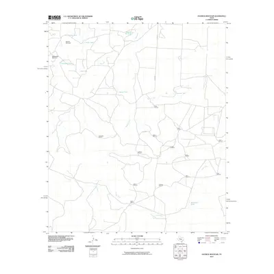
 - 2010 Map of Natural Dam Lake, 2010 Print
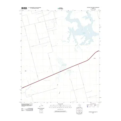 2010 Natural Dam Lake2010 Print · USGSCovers Howard County, including Morita, Martin County, and other nearby areas
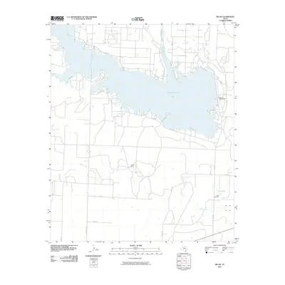
 - 2010 Map of Moss Creek Lake, 2010 Print
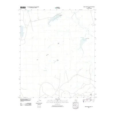 2010 Moss Creek Lake2010 Print · USGSCovers Howard County, including Otis Chalk, United States, and other nearby areas
 - 2010 Map of Houston Ranch, 2010 Print
 2010 Houston Ranch2010 Print · USGSCovers Howard County, including Old Houston Place, Lomax, and other nearby areas
Showing maps 1-25 of 125
Top cities of Howard County
Frequently asked questions
- What are the different types of historical maps available for Howard County?
- What is the oldest map of Howard County?
- Where can I purchase historical maps of Howard County for my home or office?
- Where can I download high-res historical maps of Howard County?
- Are there historical topographic maps available for Howard County?
- Is there historical aerial imagery available for Howard County?
- Where are historical maps of Howard County sourced from?