1970s Maps of Jim Hogg County, Texas
Explore 20 historic maps of Jim Hogg County from the 1970s. These maps offer a rare glimpse into what life looked like during the 1970s — showing old roads, neighborhoods, homes, and landmarks that have changed or disappeared over time.
Whether you're researching your family's past, planning a metal detecting trip, or studying how Jim Hogg County's landscape evolved across the 1970s, these high-resolution maps are a powerful tool for exploring the history of this region.
- Focus on a specific era: All maps on this page are from the 1970s, giving you a focused view of this time period.
- See what’s changed: Compare century-old streets, trails, and buildings to today's modern landscape using overlays and satellite layers.
- Research with precision: Use these maps for genealogy, historical research, land use analysis, or educational projects.
- View, download, or print: Maps are fully viewable online in high resolution, and can be downloaded or printed for your own records.
Start exploring Jim Hogg County's history through authentic maps from the 1970s. This is your window into the past.
Jim Hogg County, TX maps
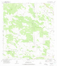
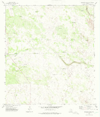
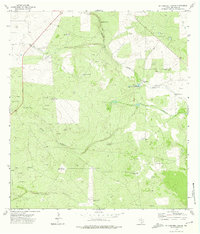
(20)- 1972 Map of Armstrong Ranch, 1975 Print
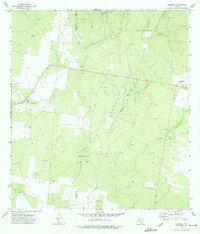
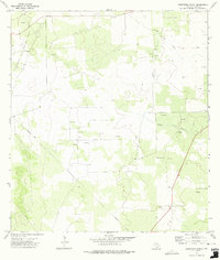 1972 Armstrong Ranch1975 Print · USGSJim Hogg County ranch lands were in the midst of an energy boom during the early seventies. Genealogists and historians can trace property markers at Armstrong Ranch and locate early extraction sites in the Las Animas Oil and Gas Field or near Chorrito Windmill.
 - 1972 Map of San Pablo Ranch, 1975 Print
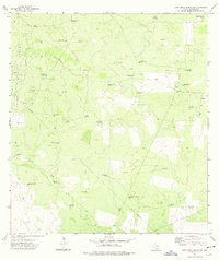
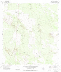
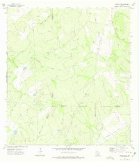
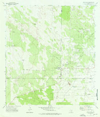
 1972 San Pablo Ranch1975 Print · USGSJim Hogg County ranching and energy infrastructure come into focus in the early 1970s. Genealogists and researchers can trace local landmarks like San Pablo Ranch, the Prado Oil Field, and numerous family-named sites such as Rincon Windmill.
 - 1972 Map of Albercas Ranch, 1975 Print
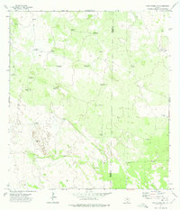
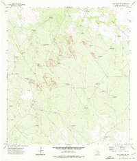
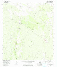
 1972 Albercas Ranch1975 Print · USGSThe ranching and energy country of south Texas is captured here in the early seventies as petroleum production transformed the brushland. Genealogists and historians can locate family landmarks like San Jose Ranch, Graves, and the drainage of Arroyo Grande.
 - 1972 Map of Cuevitas, 1975 Print
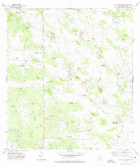
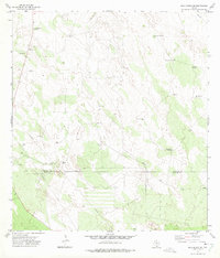
 1972 Cuevitas1975 Print · USGSDeep South Texas ranching country comes to life in this early 1970s survey of the borderlands between Jim Hogg and Starr counties. Genealogists can trace family landmarks and rural outposts at Cuevitas and San Roman, or locate remote ranch infrastructure like Filipino Windmill and the Ebanito Windmills.2 unique versions available
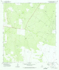
 - 1972 Map of Guerra, 1975 Print
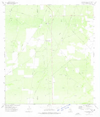
 1972 Guerra1975 Print · USGSGuerra and the surrounding South Texas ranch lands are captured here during the early seventies as the energy industry expanded. Genealogists and researchers can locate the Cem near town and trace water sources like Palomas Windmill and Alto Windmill.2 unique versions available
 - 1972 Map of Bruni SE, 1975 Print
 1972 Bruni SE1975 Print · USGSIn the early 1970s, this corner of South Texas was a hub for energy extraction where Webb, Duval, and Jim Hogg counties meet. Genealogists and historians can trace the Texas Mexican railroad line, locate the Greenhill Cem, and map the extent of the Yeager Oil Field.
 - 1972 Map of Alta Vista Ranch SW, 1975 Print
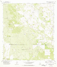
 1972 Alta Vista Ranch SW1975 Print · USGSThe ranchlands of Jim Hogg County are captured here in the early seventies, showing a landscape shaped by oil extraction and deep-well water access. Researchers can trace land use through dozens of named landmarks like the PRADO OIL FIELD, Palo Blanco Windmill, and Barreloza Windmills.
 - 1972 Map of Santa Elena NW, 1975 Print
 1972 Santa Elena NW1975 Print · USGSRemote ranching country in South Texas during the early seventies is defined by its vital water sources and vast fence lines. Researchers can trace land use through named features like Mama Windmill, Mil Pesos Well, and the remote Landing Strip.2 unique versions available
 - 1972 Map of Alta Vista Ranch, 1975 Print
 1972 Alta Vista Ranch1975 Print · USGSJim Hogg County ranching life is preserved here in the early seventies, showing a landscape shaped by water and wire. Trace family-named landmarks like Alta Vista Ranch and a network of water sources including Cinco de Mayo Windmill and Mala Suerte Windmill.
 - 1972 Map of Baluarte Ranch, 1975 Print
 1972 Baluarte Ranch1975 Print · USGSThe ranching country of Jim Hogg and Brooks counties is captured here in the early seventies, showing a landscape defined by water and oil. Genealogists and researchers can trace the locations of family-named landmarks like Baluarte Ranch or Buenos Aires Windmill.
 - 1972 Map of Agua Nueva, 1975 Print
 1972 Agua Nueva1975 Print · USGSThe ranchlands of Jim Hogg County in the early seventies reveal a world of isolated windmills and family outposts. Genealogists and researchers can locate Ramirez Cem, Palomas Ranch, and the eponymous settlement of Agua Nueva.2 unique versions available
 - 1972 Map of Thompsonville, 1975 Print
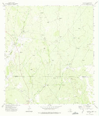
 1972 Thompsonville1975 Print · USGSThe South Texas brush country is captured here during the early seventies, showing a landscape defined by ranching and energy. Genealogists and historians can locate Thompsonville and the Vela-Peña Ranch while tracing the extensive network of Oil Wells.2 unique versions available
 - 1972 Map of Borregos Ranch, 1975 Print
 1972 Borregos Ranch1975 Print · USGSThe ranchlands of South Texas are captured here during the 1970s, showcasing the intersection of the Jim Hogg and Starr County lines. Genealogists and researchers can trace a terrain of family-named landmarks and infrastructure, from Borregos Ranch to the Cemeteries and Sacatones Windmill.2 unique versions available
 - 1972 Map of Randado, 1975 Print
 1972 Randado1975 Print · USGSThe ranchlands of Jim Hogg and Zapata counties are seen here in the early seventies, a period defined by the peak of local energy production. Genealogists and historians can trace the foundations of Escobas, Randado, and Escobas Ranch amid the infrastructure of the Randado Oil Field.
 - 1972 Map of Cuevitas SW, 1975 Print
 1972 Cuevitas SW1975 Print · USGSSouth Texas ranch and oil country is frozen in time during the early 1970s at the intersection of Jim Hogg, Starr, and Zapata counties. Genealogists and researchers can trace local landmarks like Guerra Windmill, the El Javali Oil Field, and isolated Cem sites.
 - 1972 Map of Agua Nueva NW, 1975 Print
 1972 Agua Nueva NW1975 Print · USGSJim Hogg County ranchlands are captured in the early seventies, showing a landscape defined by cattle ranching and energy production. Genealogists and historians can trace family-named sites like Weil Ranch, Venada Ranch, and the Santo Domingo Windmill.2 unique versions available
 - 1972 Map of Agua Nueva SE, 1975 Print
 1972 Agua Nueva SE1975 Print · USGSThe ranchlands along the border of Jim Hogg and Starr counties are captured here in the early 1970s. Trace the distribution of remote outposts and water sources like Ramirito Ranch, Brazil Windmill, and Particion.2 unique versions available
 - 1972 Map of McCampbell Ranch, 1975 Print
 1972 McCampbell Ranch1975 Print · USGSJim Hogg County ranching and energy extraction are in full focus during the early seventies. Trace family-named landmarks and remote infrastructure like the Mc Campbell Ranch, San Francisco Windmill, and the Arroyo del Gato.
 - 1972 Map of Santa Elena, 1976 Print
 1972 Santa Elena1976 Print · USGSThe ranchlands of South Texas appear in the early 1970s at the junction of three counties. Researchers can trace rural life and industry through family-named landmarks like Estrella Windmill, the Santa Elena settlement, and the local Oil Field.2 unique versions available
 - 1972 Map of San Antonio Viejo, 1993 Print
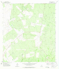
 1972 San Antonio Viejo1993 Print · USGSJim Hogg County ranching culture is frozen in time during the early 1970s, showcasing a landscape defined by vital water-drawing landmarks. Researchers can trace historic family property boundaries through named features like San Antonio Viejo, San Pablo Ranch, and the Lobo Blanco Windmill.
End of results
Showing maps 1-20 of 20
Top cities of Jim Hogg County
Frequently asked questions
- What are the different types of historical maps available for Jim Hogg County?
- What is the oldest map of Jim Hogg County?
- Where can I purchase historical maps of Jim Hogg County for my home or office?
- Where can I download high-res historical maps of Jim Hogg County?
- Are there historical topographic maps available for Jim Hogg County?
- Is there historical aerial imagery available for Jim Hogg County?
- Where are historical maps of Jim Hogg County sourced from?