Old Maps of Anson, Texas for Genealogy
Trace your family roots with 18 historic maps of Anson. These high-res maps reveal old neighborhoods, homesites, landmarks, and streets — helping you uncover where your ancestors lived and how the area evolved over time.
- Explore historic neighborhoods: Identify where your relatives may have lived in the 1800s or 1900s.
- Compare maps over time: Trace the changes in streets, buildings, and landmarks for multi-generational research.
- Perfect for genealogy & ancestry research: Used by family historians and researchers to map out lineage and migration.
These maps are an incredible resource for exploring your personal connection to Anson's past.
Anson, TX maps
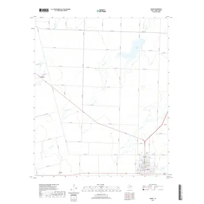
(18)- 1891 Map of Anson
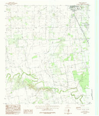
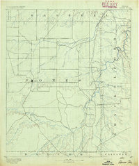 1891 Anson1891 Print · USGSJones County was still a frontier of small settlements and river crossings in the early 1890s. Genealogists and researchers can trace the early footprints of Anson alongside forgotten locales like Sandersville, Phantom Hill, and Rising Sun.
 - 1893 Map of Anson
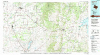
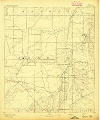 1893 Anson1893 Print · USGSCentral West Texas in the early 1890s shows a landscape of cattle ranches and early outposts. Genealogists can locate family-named settlements like Sandersville and Newsom or trace the early community at Phantom Hill.5 unique versions available
 - 1954 Map of Abilene, 1966 Print
 1954 Abilene1966 Print · USGSThe Texas Big Country comes into focus in the mid-1950s as petroleum and new water projects reshape the landscape. Local historians can trace the Butterfield Trail, find the Fort Phantom Hill Ruins, and locate numerous small communities along the Texas & Pacific line.2 unique versions available
 - 1957 Map of Hawley, 1958 Print
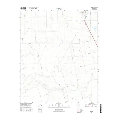
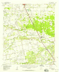 1957 Hawley1958 Print · USGSJones and Taylor Counties are captured in the late fifties during a period of significant petroleum expansion and rural settlement. Genealogists and historians can trace family roots at Hawley, Anson, and the Cosden Refinery, or locate old landmarks like the Hodges Sch.
 - 1958 Map of Abilene
 1958 Abilene1958 Print · USGSMid-century West Texas comes alive in this survey of the Abilene and Stephenville region during a period of steady oil expansion and military growth. Genealogists and local historians can trace the paths of the Texas & Pacific RR through historic towns, locate the Fort Griffin Ruins, and find smaller settlements like Desdemona and Lueders.
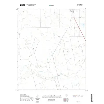
 - 1965 Map of Anson, 1967 Print
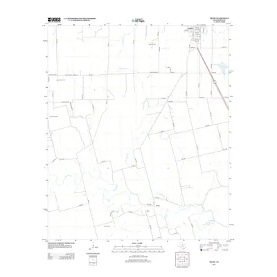
 1965 Anson1967 Print · USGSJones County's plains are captured in the mid-sixties, centered on the growing town of Anson. Genealogists and historians can trace community landmarks like Anderson Chapel Cem, Hanna Ch, and the outlying settlement of Radium.
 - 1984 Map of Truby
 1984 Truby1984 Print · USGSJones County ranching country and river bottoms are captured here in the early eighties. Genealogists and local historians can trace the course of the Clear Fork Brazos River past the settlement of Truby and the outskirts of Anson.
 - 1985 Map of Stamford, 1992 Print
 1985 Stamford1992 Print · USGSMid-century West Texas comes alive in this survey of the Brazos River country, showing a landscape defined by oil production and rail transport. Researchers can locate family landmarks like the Avoca Sch, New Hope Ch, and the frontier history at Fort Griffin State Park.
 - 2010 Map of Truby, 2010 Print
 2010 Truby2010 Print · USGSCovers Anson, including Truby, Jones County, and other nearby areas
 - 2010 Map of Anson, 2010 Print
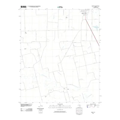
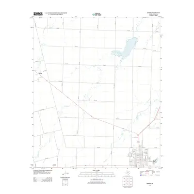
 2010 Anson2010 Print · USGSCovers Anson, including Radium, Plainview, and other nearby areas
 - 2012 Map of Truby, 2012 Print
 2012 Truby2012 Print · USGSCovers Anson, including Truby, Jones County, and other nearby areas
 - 2012 Map of Anson, 2012 Print
 2012 Anson2012 Print · USGSCovers Anson, including Radium, Plainview, and other nearby areas
 - 2016 Map of Anson, 2016 Print
 2016 Anson2016 Print · USGSCovers Anson, including Radium, Plainview, and other nearby areas
 - 2016 Map of Truby, 2016 Print
 2016 Truby2016 Print · USGSCovers Anson, including Truby, Jones County, and other nearby areas
 - 2019 Map of Anson, 2019 Print
 2019 Anson2019 Print · USGSCovers Anson, including Radium, Plainview, and other nearby areas
 - 2019 Map of Truby, 2019 Print
 2019 Truby2019 Print · USGSCovers Anson, including Truby, Jones County, and other nearby areas
 - 2022 Map of Anson, 2022 Print
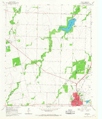
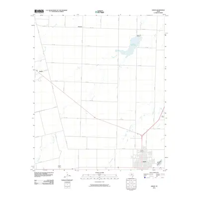
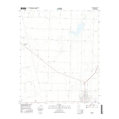
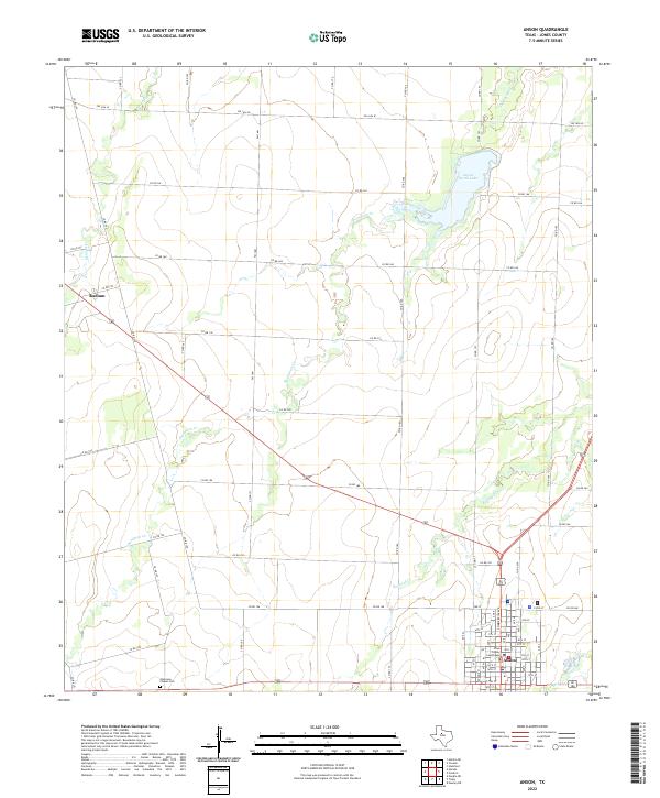 2022 Anson2022 Print · USGSThe Jones County seat comes into focus during the early 2020s, showing the intersection of rural transit and civic life. Local researchers can locate the Jones County Courthouse, the Anderson Chapel Cem, and the waters of Anson North Lake.
 - 2022 Map of Truby, 2022 Print
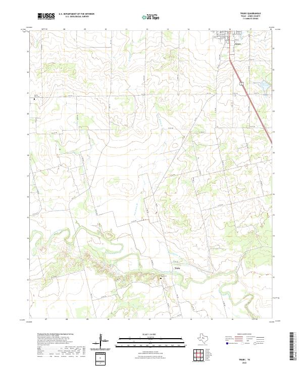 2022 Truby2022 Print · USGSJones County ranchlands and river bends are captured here in the early twenty-first century. Genealogists and local historians can trace family land ties near the Clear Fork Brazos River, Truby Cem, and the rural community of Truby.
End of results
Showing maps 1-18 of 18
Top cities near Anson
Frequently asked questions
- What are the different types of historical maps available for Anson?
- What is the oldest map of Anson?
- Where can I purchase historical maps of Anson for my home or office?
- Where can I download high-res historical maps of Anson?
- Are there historical topographic maps available for Anson?
- Is there historical aerial imagery available for Anson?
- Where are historical maps of Anson sourced from?