Old Maps of Lueders, Texas for Metal Detecting
Plan your next treasure hunt with 17 historic maps of Lueders. Find old homesites, ghost towns, trails, and gathering spots that may be lost to time — perfect for identifying promising metal detecting locations.
- Locate forgotten sites: Uncover places like long-lost settlements, abandoned rail lines, or gathering spots.
- Plan better hunts: Use map overlays combined with LiDAR or satellite views to narrow in on historically rich areas.
- Made for detectorists: Thousands of hobbyists use these maps to discover relics, coins, and hidden history.
Use these historic maps to boost your research and find new opportunities beneath the surface of Lueders.
Lueders, TX maps
(17)- 1891 Map of Anson
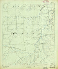 1891 Anson1891 Print · USGSJones County was still a frontier of small settlements and river crossings in the early 1890s. Genealogists and researchers can trace the early footprints of Anson alongside forgotten locales like Sandersville, Phantom Hill, and Rising Sun.
 - 1893 Map of Anson
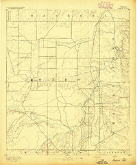 1893 Anson1893 Print · USGSCentral West Texas in the early 1890s shows a landscape of cattle ranches and early outposts. Genealogists can locate family-named settlements like Sandersville and Newsom or trace the early community at Phantom Hill.5 unique versions available
 - 1954 Map of Abilene, 1966 Print
 1954 Abilene1966 Print · USGSThe Texas Big Country comes into focus in the mid-1950s as petroleum and new water projects reshape the landscape. Local historians can trace the Butterfield Trail, find the Fort Phantom Hill Ruins, and locate numerous small communities along the Texas & Pacific line.2 unique versions available
 - 1958 Map of Abilene
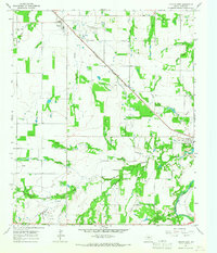
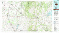
 1958 Abilene1958 Print · USGSMid-century West Texas comes alive in this survey of the Abilene and Stephenville region during a period of steady oil expansion and military growth. Genealogists and local historians can trace the paths of the Texas & Pacific RR through historic towns, locate the Fort Griffin Ruins, and find smaller settlements like Desdemona and Lueders.
 - 1965 Map of Lueders West, 1967 Print
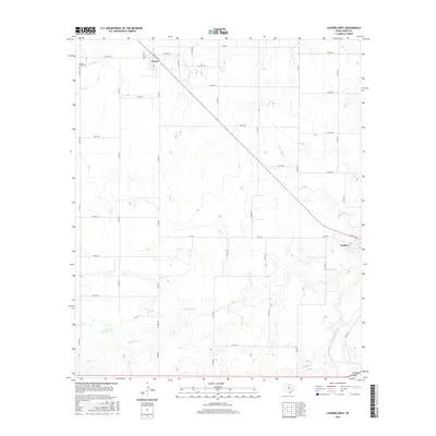
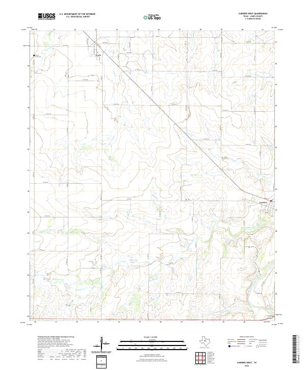
 1965 Lueders West1967 Print · USGSJones County's limestone and oil industry are in full view during the mid-sixties, centered on the Lueders area. Researchers can trace the path of the Missouri - Kansas - Texas railroad and locate old family sites near Spring Creek Cem and Avoca.
 - 1965 Map of Lueders East, 1967 Print
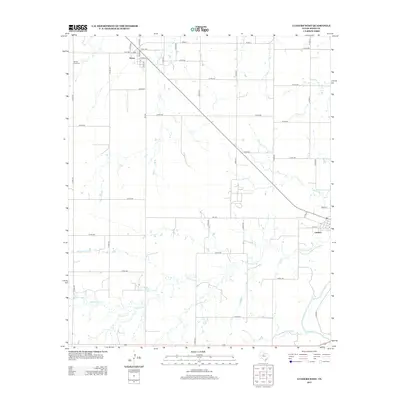
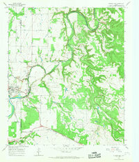 1965 Lueders East1967 Print · USGSThe Clear Fork of the Brazos River defined life along the Shackelford and Jones County line in the mid-1960s. Genealogists and historians can trace the tracks of the Missouri Kansas Texas railroad through Lueders, past the Lueders Cem and active Oil Field sites.2 unique versions available
 - 1985 Map of Stamford, 1992 Print
 1985 Stamford1992 Print · USGSMid-century West Texas comes alive in this survey of the Brazos River country, showing a landscape defined by oil production and rail transport. Researchers can locate family landmarks like the Avoca Sch, New Hope Ch, and the frontier history at Fort Griffin State Park.
 - 2010 Map of Lueders West, 2010 Print
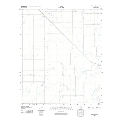 2010 Lueders West2010 Print · USGSCovers Lueders, including Avoca, Jones County, and other nearby areas
 - 2010 Map of Lueders East, 2010 Print
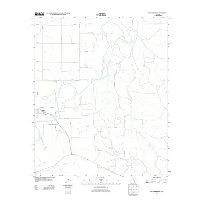
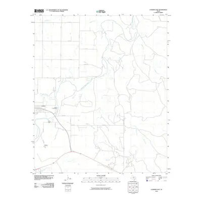 2010 Lueders East2010 Print · USGSCovers Lueders, including Jones County, Shackelford County, and other nearby areas
 - 2012 Map of Lueders East, 2012 Print
 2012 Lueders East2012 Print · USGSCovers Lueders, including Jones County, Shackelford County, and other nearby areas
 - 2012 Map of Lueders West, 2012 Print
 2012 Lueders West2012 Print · USGSCovers Lueders, including Avoca, Jones County, and other nearby areas
 - 2016 Map of Lueders West, 2016 Print
 2016 Lueders West2016 Print · USGSCovers Lueders, including Avoca, Jones County, and other nearby areas
 - 2016 Map of Lueders East, 2016 Print
 2016 Lueders East2016 Print · USGSCovers Lueders, including Jones County, Shackelford County, and other nearby areas
 - 2019 Map of Lueders East, 2019 Print
 2019 Lueders East2019 Print · USGSCovers Lueders, including Jones County, Shackelford County, and other nearby areas
 - 2019 Map of Lueders West, 2019 Print
 2019 Lueders West2019 Print · USGSCovers Lueders, including Avoca, Jones County, and other nearby areas
 - 2022 Map of Lueders East, 2022 Print
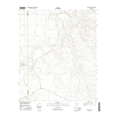
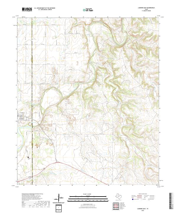 2022 Lueders East2022 Print · USGSThe rolling ranchlands of Shackelford and Jones Counties are defined here by the winding Clear Fork Brazos River. Genealogists can locate family sites near Lueders and the Lueders Cem or trace drainages like Chimney Cr.
 - 2022 Map of Lueders West, 2022 Print
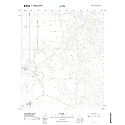
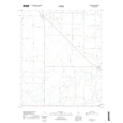
 2022 Lueders West2022 Print · USGSIn the open ranch lands of Jones County, this modern survey tracks the enduring rural networks of the Texas plains. Genealogists and local historians can trace family locations near Avoca and Lueders, or locate the Spring Creek Cem along the banks of Spring Cr.
End of results
Showing maps 1-17 of 17
Top cities near Lueders
Frequently asked questions
- What are the different types of historical maps available for Lueders?
- What is the oldest map of Lueders?
- Where can I purchase historical maps of Lueders for my home or office?
- Where can I download high-res historical maps of Lueders?
- Are there historical topographic maps available for Lueders?
- Is there historical aerial imagery available for Lueders?
- Where are historical maps of Lueders sourced from?