2010s Maps of Martin County, Texas
Explore 100 historic maps of Martin County from the 2010s. These maps offer a rare glimpse into what life looked like during the 2010s — showing old roads, neighborhoods, homes, and landmarks that have changed or disappeared over time.
Whether you're researching your family's past, planning a metal detecting trip, or studying how Martin County's landscape evolved across the 2010s, these high-resolution maps are a powerful tool for exploring the history of this region.
- Focus on a specific era: All maps on this page are from the 2010s, giving you a focused view of this time period.
- See what’s changed: Compare century-old streets, trails, and buildings to today's modern landscape using overlays and satellite layers.
- Research with precision: Use these maps for genealogy, historical research, land use analysis, or educational projects.
- View, download, or print: Maps are fully viewable online in high resolution, and can be downloaded or printed for your own records.
Start exploring Martin County's history through authentic maps from the 2010s. This is your window into the past.
Martin County, TX maps
(100)- 2010 Map of Bird Ranch, 2010 Print
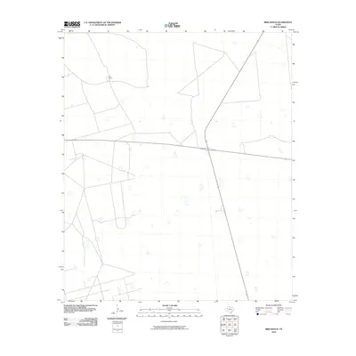 2010 Bird Ranch2010 Print · USGSTexas ranching country remains defined by wide-open spaces and long-standing family holdings in this 2010 survey of Andrews County. Trace the intersection of highways 176 and 349 as they pass near the historic Bird Ranch.
 - 2010 Map of Lenorah East, 2010 Print
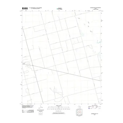 2010 Lenorah East2010 Print · USGSMartin County's agricultural grid and ranch lands are captured here in the early twenty-first century. Genealogists and local historians can trace the rural layout around Lenorah and the natural path of Sulphur Springs Draw as it cuts across the plains.
 - 2010 Map of Flynt Ranch, 2010 Print
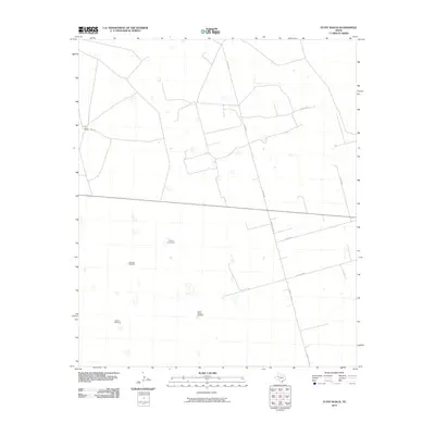 2010 Flynt Ranch2010 Print · USGSMartin County ranching land is documented here during the early 2000s, showing the intersection of long-distance highways and isolated rural homesteads. Researchers can locate specific water-sourcing landmarks like Quick Trigger Windmill, Tin Tub Windmill, and the Flynt Ranch.
 - 2010 Map of Flower Grove, 2010 Print
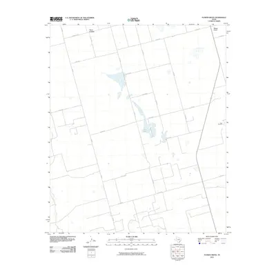 2010 Flower Grove2010 Print · USGSMartin County’s wide-open plains are documented here in the early twenty-first century, showing the intersection of local settlements and resource infrastructure. Researchers can locate the community of Three Leagues or trace the drainage near Alkali Lake and the Soda Windmills.
 - 2010 Map of Dickenson Ranch, 2010 Print
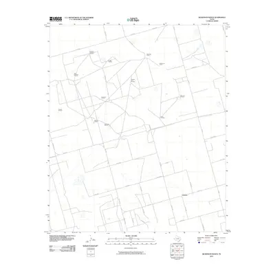 2010 Dickenson Ranch2010 Print · USGSThe ranchlands of Martin County are captured here in the early 21st century, centered on the small community of Courtney. Researchers and genealogists can trace the vital network of water landmarks that sustained local families, including the Dickenson Ranch, Doggie Windmill, and Thrailkill Windmill.
 - 2010 Map of Mabee Ranch, 2010 Print
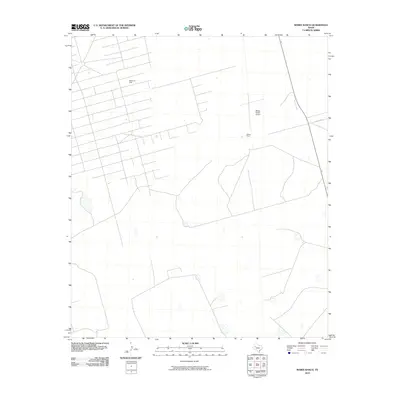 2010 Mabee Ranch2010 Print · USGSThe Permian Basin oil and cattle country of Andrews County is captured here during the first decade of the millennium. Researchers can trace the extensive footprint of the Mabee Oil Field and locate central operations at Mabee Ranch.
 - 2010 Map of Patricia SW, 2010 Print
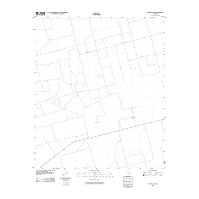 2010 Patricia SW2010 Print · USGSGaines County, Texas, is captured here in the early twenty-first century, showcasing the expansive ranching and farming grid of the High Plains. Researchers can trace local transit and drainage via McKenzie Draw, Brushy Lake, and Ranch Rd 2051.
 - 2010 Map of Patricia, 2010 Print
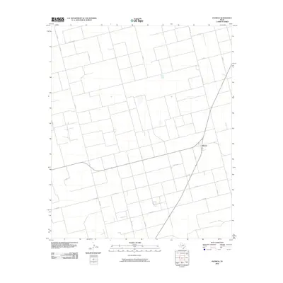 2010 Patricia2010 Print · USGSThe rural interior of Dawson County is captured here in the early twenty-first century, showing the crossroads community of Patricia. Researchers can trace the extensive network of ranching and farm roads like Ranch Rd 829 and Co Rd 5100 across the high plains.
 - 2010 Map of Ackerly, 2010 Print
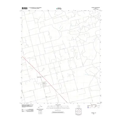 2010 Ackerly2010 Print · USGSAckerly and the surrounding ranchlands are captured here in the early twenty-first century as the local cattle economy and road network matured. Researchers can locate Fairhaven Cemetery and trace land holdings near the Coleman Cattle Company Number 1 Airport and Wolf Creek.
 - 2010 Map of Tenmile, 2010 Print
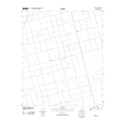 2010 Tenmile2010 Print · USGSDawson County's rural landscape is captured here in the early twenty-first century, showing a region defined by agricultural grids and energy production. Genealogists and local historians can trace family locations near Klondike, the Tex Hamon Oil Field, and Tenmile.
 - 2010 Map of Sparenberg, 2010 Print
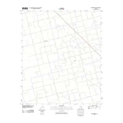 2010 Sparenberg2010 Print · USGSDawson County agriculture and energy production intersect in this 2010 survey of West Texas. Historians and researchers can map the local road grid and industry footprint around Sparenberg and the extensive Ackerly Oil Field.
 - 2010 Map of Knott SW, 2010 Print
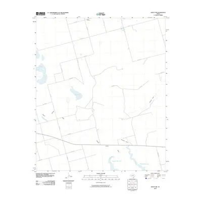 2010 Knott SW2010 Print · USGSThe West Texas plains of Howard County are captured here just after the turn of the millennium, showing a landscape defined by seasonal draws and rural section lines. Researchers can locate Knott Cemetery and trace the paths of Sulphur Springs Draw and Natural Dam Lake.
 - 2010 Map of Merrick, 2010 Print
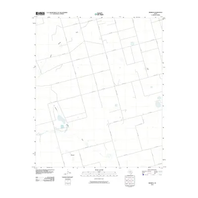 2010 Merrick2010 Print · USGSMartin County in the early 2010s was a landscape of broad agricultural blocks and critical water draws. Genealogists and researchers can trace the rural infrastructure around Merrick and the path of Sulphur Springs Draw through this West Texas territory.
 - 2010 Map of Knott, 2010 Print
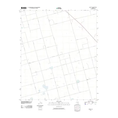 2010 Knott2010 Print · USGSMartin County agriculture and the rural settlements of Knott and Brown are captured here during the first decade of the 2000s. Genealogists and historians can trace property boundaries and local travel routes along Farm Rd 846 and W C R 54.
 - 2010 Map of Lenorah West, 2010 Print
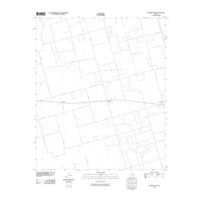 2010 Lenorah West2010 Print · USGSMartin County is shown in the early twenty-first century as a meticulously surveyed grid of ranch roads and small settlements. Genealogists and local historians can trace the precise locations of Tarzan, Grady, and Lenorah along with routes like Woodward Rd.
 - 2010 Map of Germania, 2010 Print
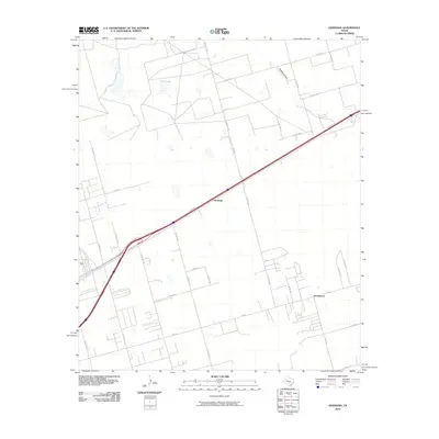 2010 Germania2010 Print · USGSMidland County's high plains are captured here in the early twenty-first century, showing the rural communities of the Permian Basin. Local historians can trace the development of Germania and Greenwood or locate the natural features of Salt Lake and Mustang Draw.
 - 2010 Map of North Curtis Ranch, 2010 Print
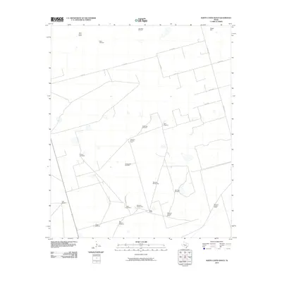 2010 North Curtis Ranch2010 Print · USGSMidland County ranching territory is captured here in the early 21st century, showing the essential water and road networks of the Permian Basin. Genealogists and researchers can locate family-named landmarks like North Curtis Ranch, Billy Pees Windmill, and Glass Ranch.
 - 2010 Map of Stanton SE, 2010 Print
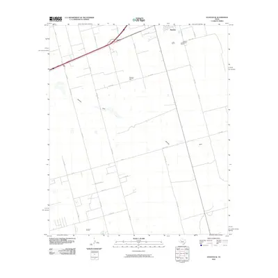 2010 Stanton SE2010 Print · USGSMartin County in 2010 shows a landscape defined by the West Texas oil industry and the steady growth of the Llano Estacado. Researchers can trace the layout of the Spraberry Trend Oil Field, locate the Evergreen Cemetery, and explore the roads around Dix and Stanton.
 - 2010 Map of Stanton, 2010 Print
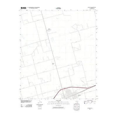 2010 Stanton2010 Print · USGSThe West Texas town of Stanton is documented here in the early twenty-first century, showing the intersection of vital regional transport and ranching routes. Genealogists and local historians can trace the town grid and nearby landmarks like the Permian Basin Encampment and Stanton Municipal Airport.
 - 2010 Map of Natural Dam Lake, 2010 Print
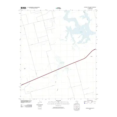 2010 Natural Dam Lake2010 Print · USGSHoward County ranching and water resources are on display here in the early twenty-first century. Genealogists and historians can trace the settlement at Morita and locate water-dependent landmarks like Natural Dam Lake and Indian Point.
 - 2010 Map of Scharbauer Ranch, 2010 Print
 2010 Scharbauer Ranch2010 Print · USGSThe West Texas ranchlands in Andrews County are captured here during the first decade of the millennium. Researchers and land historians can trace the boundaries of the Scharbauer Ranch and locate functional markers like Stephenson Windmill.
 - 2010 Map of Wolcott Ranch, 2010 Print
 2010 Wolcott Ranch2010 Print · USGSMartin County ranching and oil production are at the forefront of this early twenty-first-century survey. Genealogists and local historians can trace the boundaries of family holdings like Wolcott Ranch and Hyatt Ranch, or locate water features such as Budwizer Windmill and McKenzie Draw.
 - 2010 Map of Northwest Midland, 2010 Print
 2010 Northwest Midland2010 Print · USGSMidland enters a period of modern suburban expansion during the early twenty-first century as new residential grids push into the surrounding ranchland. Genealogists and local historians can trace the development of neighborhood clusters near Midland Draw or locate landmarks like Cowden Ranch and High Sky Girls Ranch.
 - 2010 Map of Houston Ranch, 2010 Print
 2010 Houston Ranch2010 Print · USGSGlasscock County ranchlands come into sharp focus in this 2010 survey of the West Texas plains. Genealogists and researchers can trace the locations of historic family operations like Old Houston Place, Stone Ranch, and Houston Ranch near Mustang Draw.
 - 2010 Map of Northeast Midland, 2010 Print
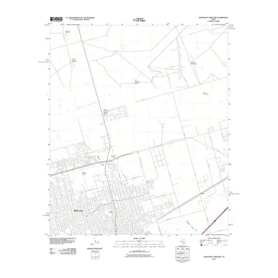 2010 Northeast Midland2010 Print · USGSMidland's northern expansion is captured here during a period of significant growth into the surrounding Permian Basin ranchland. Genealogists and local historians can trace the development of Fairview Cemetery and Rest Haven Cemetery or locate landmarks like China Grove Windmill and the Midland Airpark.
Showing maps 1-25 of 100
Top cities of Martin County
Frequently asked questions
- What are the different types of historical maps available for Martin County?
- What is the oldest map of Martin County?
- Where can I purchase historical maps of Martin County for my home or office?
- Where can I download high-res historical maps of Martin County?
- Are there historical topographic maps available for Martin County?
- Is there historical aerial imagery available for Martin County?
- Where are historical maps of Martin County sourced from?