2010s Maps of Mason County, Texas
Explore 100 historic maps of Mason County from the 2010s. These maps offer a rare glimpse into what life looked like during the 2010s — showing old roads, neighborhoods, homes, and landmarks that have changed or disappeared over time.
Whether you're researching your family's past, planning a metal detecting trip, or studying how Mason County's landscape evolved across the 2010s, these high-resolution maps are a powerful tool for exploring the history of this region.
- Focus on a specific era: All maps on this page are from the 2010s, giving you a focused view of this time period.
- See what’s changed: Compare century-old streets, trails, and buildings to today's modern landscape using overlays and satellite layers.
- Research with precision: Use these maps for genealogy, historical research, land use analysis, or educational projects.
- View, download, or print: Maps are fully viewable online in high resolution, and can be downloaded or printed for your own records.
Start exploring Mason County's history through authentic maps from the 2010s. This is your window into the past.
Mason County, TX maps
(100)- 2010 Map of Noxville, 2010 Print
 2010 Noxville2010 Print · USGSKimble County ranching and water resources are documented in this 2010 record of the Texas Hill Country. Researchers can trace land features from the James River to local landmarks like White Bluff, Noxville, and the Dicks Hollow Windmill.
 - 2010 Map of Katemcy, 2010 Print
 2010 Katemcy2010 Print · USGSMason County ranching country is documented here at the start of the 2010s, centered on the San Saba River and its rural outposts. Researchers can locate the Camp San Saba Cemetery and trace the paths of Katemcy Creek and Decker Creek.
 - 2010 Map of Monument Mountain SE, 2010 Print
 2010 Monument Mountain SE2010 Print · USGSMason County ranch land and river breaks are captured here in the early 2000s. Genealogists and land researchers can trace family-named landmarks like Ed Keller Draw or follow the path of the James River and Mill Creek.
 - 2010 Map of Art, 2010 Print
 2010 Art2010 Print · USGSSettlements like Art and Hedwigs Hill characterize this Mason County landscape along the Llano River in the early twenty-first century. Genealogists can trace family heritage through numerous burial sites, including Kothmann Cemetery and West Art Cemetery.
 - 2010 Map of Fredonia, 2010 Print
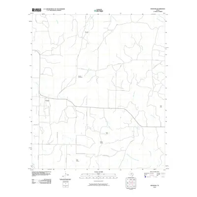 2010 Fredonia2010 Print · USGSFredonia and its surrounding ranchlands are captured here in the early twenty-first century as the community maintained its rural character. Genealogists and local historians can locate Deer Creek Cemetery, trace the path of Lost Creek, and identify landmarks like Hairy Knob.
 - 2010 Map of Mason, 2010 Print
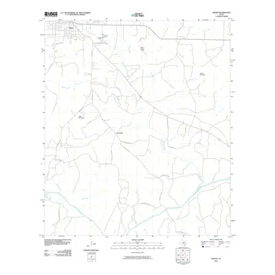 2010 Mason2010 Print · USGSMason and the surrounding ranchlands are captured here in the early twenty-first century as the area continued to center around its river-and-road network. Researchers can trace the proximity of Grossville to the Llano River or locate landmarks like Todd Mountain.
 - 2010 Map of Fly Gap, 2010 Print
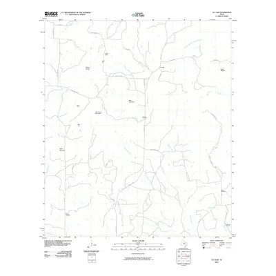 2010 Fly Gap2010 Print · USGSMason County’s high country is captured here in the early twenty-first century, showing a landscape defined by ranching and mineral history. Genealogists and local historians can locate remote family landmarks such as Fly Gap Cemetery, the Spiller Mine, and Leifeste Cemetery.
 - 2010 Map of Monument Mountain, 2010 Print
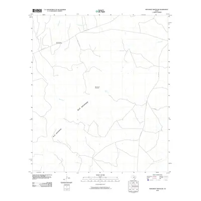 2010 Monument Mountain2010 Print · USGSKimble County ranchlands are documented here at the turn of the millennium, showing a landscape shaped by the Blue Mountains. Researchers can locate the Blue Mountain Community Hall and trace the paths of Rocky Creek and the James River.
 - 2010 Map of Spice Rock, 2010 Print
 2010 Spice Rock2010 Print · USGSMcCulloch County's ranching country is shown here in the early twenty-first century, centered on the drainages of the San Saba River. Researchers can trace local genealogy and land use via Blackjack Cemetery, Wagram Cemetery, and landmarks like Spy Rock.
 - 2010 Map of Doss, 2010 Print
 2010 Doss2010 Print · USGSGillespie County ranching country is documented here in the early twenty-first century, centered on the historic settlement of Doss. Researchers can trace old family burial grounds like Satler Cemetery and local landmarks such as Schoolhouse Hollow and Bierschwale Spring.
 - 2010 Map of Calf Creek, 2010 Print
 2010 Calf Creek2010 Print · USGSThe ranchlands of Menard County are documented here in the early twenty-first century, centered on the winding San Saba River. Local historians can trace old transit points like Twentymile Crossing and ranching landmarks such as Block House Ranch and Calf Creek.
 - 2010 Map of Pontotoc, 2010 Print
 2010 Pontotoc2010 Print · USGSLlano County ranching country is documented here during the first decade of the 2000s, showing a landscape defined by seasonal creeks and historic homesteads. Genealogists can trace family footprints through the Old Pontotoc Cemetery, Hutchinson School, and Nine-Bar Ranch.
 - 2010 Map of Grit, 2010 Print
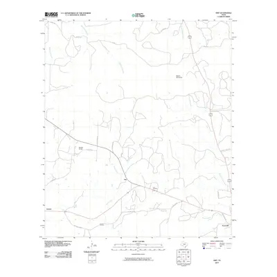 2010 Grit2010 Print · USGSMason County ranching country is documented here in the early twenty-first century, centered on the historic crossroads of Grit. Researchers can trace local heritage through sites like Cavness Cemetery, Streeter, and the family-named Koocks Branch.
 - 2010 Map of Sheep Run Creek, 2010 Print
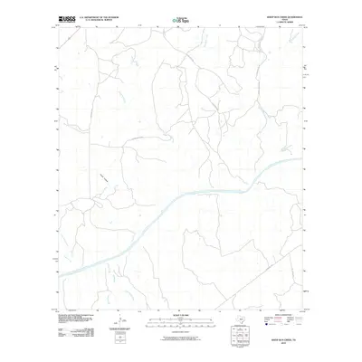 2010 Sheep Run Creek2010 Print · USGSKimble County's river-carved landscape is captured here in the early 2000s, centered on the winding Llano River and its many tributaries. Trace the network of rural passages and drainage points like Chimney Hollow, Rocky Creek, and Leon Creek.
 - 2010 Map of House Mountain, 2010 Print
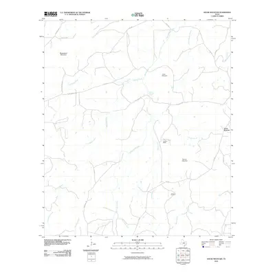 2010 House Mountain2010 Print · USGSLlano County's granite uplands are meticulously detailed in this 2010 study of the Texas Hill Country. Genealogists and historians can locate family landmarks like Putman Cemetery and Lovers Rock or trace the drainage of Hickory Creek.
 - 2010 Map of Purdy Hill, 2010 Print
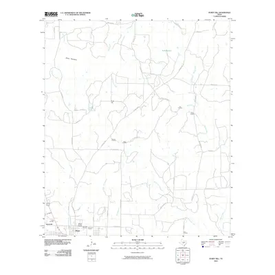 2010 Purdy Hill2010 Print · USGSMason County’s ranching country is captured here during the early twenty-first century, centered on the historic seat of Mason. Genealogists can trace family footprints across numerous rural burial sites like Behrens Cemetery and Jones Cemetery near the slopes of Purdy Hill.
 - 2010 Map of Castell, 2010 Print
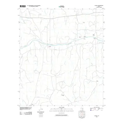 2010 Castell2010 Print · USGSThe rural Llano River valley comes alive in this 2010 study of Castell, showing a landscape deeply tied to family heritage. Researchers can trace local genealogy through numerous family plots like Schneider Cemetery, Birk Cemetery, and the Jedlicka Cemetery.
 - 2010 Map of Long Mountain, 2010 Print
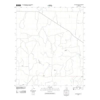 2010 Long Mountain2010 Print · USGSMenard County ranch land and prominent Hill Country peaks are documented here in the early twenty-first century. Researchers can locate family roots at Long Mountain Cemetery or Jacoby Cemetery and trace the drainage of Leon Creek and Tenmile Creek.
 - 2010 Map of The Falls, 2010 Print
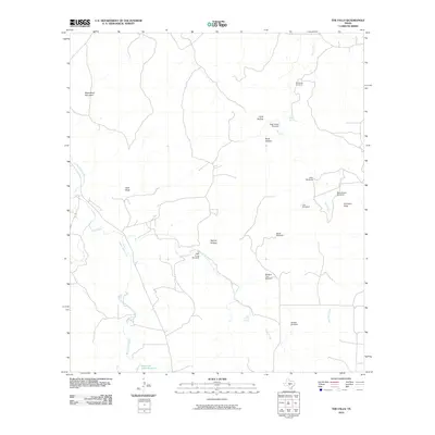 2010 The Falls2010 Print · USGSGillespie County, Texas, is mapped here in the early twenty-first century, showing a landscape defined by essential water sources and ranching heritage. Genealogists and local historians can locate Anderegg Cemetery and historic ranch sites like Rock House Windmill and Bierschwale Windmill.
 - 2010 Map of Smoothingiron Mountain, 2010 Print
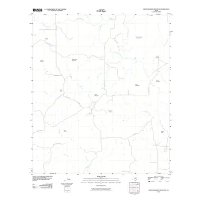 2010 Smoothingiron Mountain2010 Print · USGSLlano County's high country is captured here in the early 21st century, showing a landscape defined by prominent peaks and ranching roads. Trace family histories at Newsom Cemetery or Wooten Cemetery, and locate landmarks like Smoothingiron Mountain and Bodie Peak.
 - 2010 Map of Cherry Spring, 2010 Print
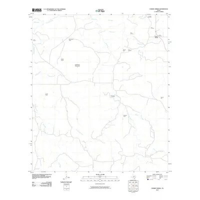 2010 Cherry Spring2010 Print · USGSGillespie County is shown in this 2010 survey, capturing a landscape where ranching roots and family legacies are etched into the terrain. Genealogists can trace local ancestry through sites like Mund Cemetery, the Neyland Mine, and several family-named landmarks including Lehmann Mountain.
 - 2010 Map of Turtle Creek, 2010 Print
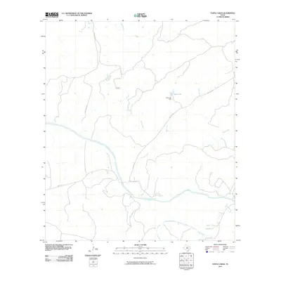 2010 Turtle Creek2010 Print · USGSThe Texas Hill Country and its intricate river systems are captured here during the first decade of the millennium. Researchers can trace the winding course of the Llano River and identify local landmarks like the Zesch Lake Dam and James River.
 - 2010 Map of Loyal Valley, 2010 Print
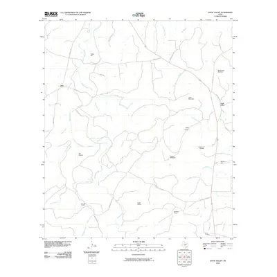 2010 Loyal Valley2010 Print · USGSThe Mason County countryside is documented here in the early twenty-first century, showing the enduring rural layout of the Texas Hill Country. Genealogists and local historians can trace family locations near Ellerbracht Cemetery, Loyal Valley, and landmarks like Meusebach Mountain.
 - 2010 Map of Panther Creek, 2010 Print
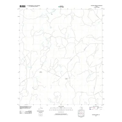 2010 Panther Creek2010 Print · USGSHill Country ranch land in Mason County is documented here during the early twenty-first century, featuring a landscape of isolated peaks and winding creek beds. Researchers can trace rural property access along Geistweidt Rd and Threadgill Creek Rd near landmarks like Nixon Mountain.
 - 2010 Map of Cherry Mountain, 2010 Print
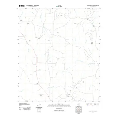 2010 Cherry Mountain2010 Print · USGSGillespie County, Texas, is documented here in the early twenty-first century as a landscape of family ranching and mining. Genealogists can locate numerous family burial sites like the Schneider Cemetery and Rode Cemetery near the Cherry Mountain Mine.
Showing maps 1-25 of 100
Top cities of Mason County
Frequently asked questions
- What are the different types of historical maps available for Mason County?
- What is the oldest map of Mason County?
- Where can I purchase historical maps of Mason County for my home or office?
- Where can I download high-res historical maps of Mason County?
- Are there historical topographic maps available for Mason County?
- Is there historical aerial imagery available for Mason County?
- Where are historical maps of Mason County sourced from?