2020s Maps of Mason County, Texas
Explore 25 historic maps of Mason County from the 2020s. These maps offer a rare glimpse into what life looked like during the 2020s — showing old roads, neighborhoods, homes, and landmarks that have changed or disappeared over time.
Whether you're researching your family's past, planning a metal detecting trip, or studying how Mason County's landscape evolved across the 2020s, these high-resolution maps are a powerful tool for exploring the history of this region.
- Focus on a specific era: All maps on this page are from the 2020s, giving you a focused view of this time period.
- See what’s changed: Compare century-old streets, trails, and buildings to today's modern landscape using overlays and satellite layers.
- Research with precision: Use these maps for genealogy, historical research, land use analysis, or educational projects.
- View, download, or print: Maps are fully viewable online in high resolution, and can be downloaded or printed for your own records.
Start exploring Mason County's history through authentic maps from the 2020s. This is your window into the past.
Mason County, TX maps
(25)- 2022 Map of Long Mountain, 2022 Print
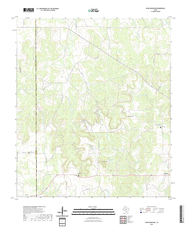 2022 Long Mountain2022 Print · USGSThe ranching country of the Texas Hill Country comes into focus here during the early 2020s. Researchers can locate the settlement of Streeter and rural burial sites like Jacoby Cem and Long Mountain Cem among the rises of Haystack Mtn.
 - 2022 Map of Doss, 2022 Print
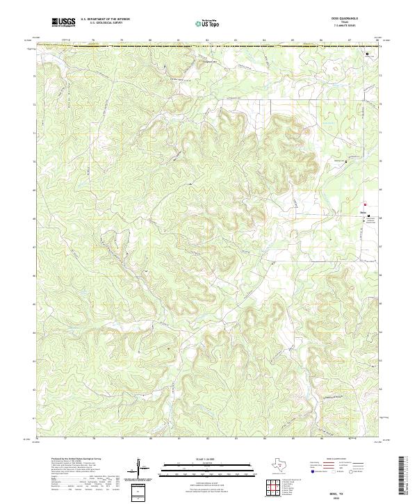 2022 Doss2022 Print · USGSThe Texas Hill Country around the Mason and Gillespie county line is shown here in the 2020s. Researchers can locate family landmarks like the Kensing Cemetery, Lange Springs, and the historic Saint Peter Lutheran Church Cem.
 - 2022 Map of Turtle Creek, 2022 Print
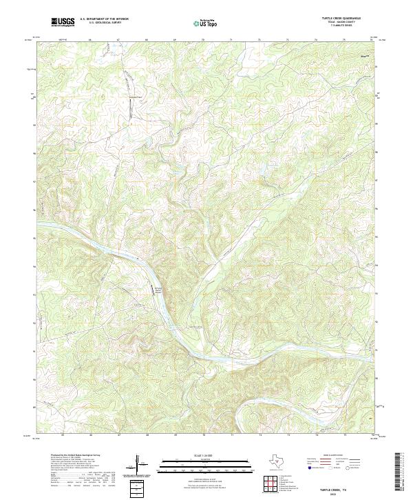 2022 Turtle Creek2022 Print · USGSThe Texas Hill Country south of Mason is captured here during the early twenty-first century as ranching and river geography define the land. Trace rural landmarks like Snowden Field, Kothmann Springs, and the junction of the Llano River and James River.
 - 2022 Map of Sheep Run Creek, 2022 Print
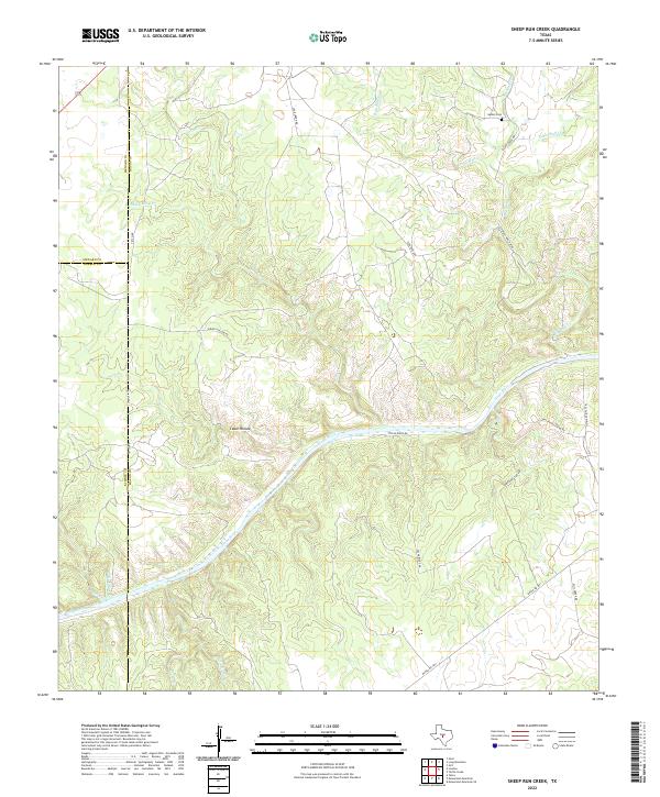 2022 Sheep Run Creek2022 Print · USGSMason County ranching country is defined here by the winding Llano River and its rugged tributaries. Researchers can trace family history at the Gamel Cemetery or follow old ranching routes along Leon Creek Road and Ranch Road 1871.
 - 2022 Map of Calf Creek, 2022 Print
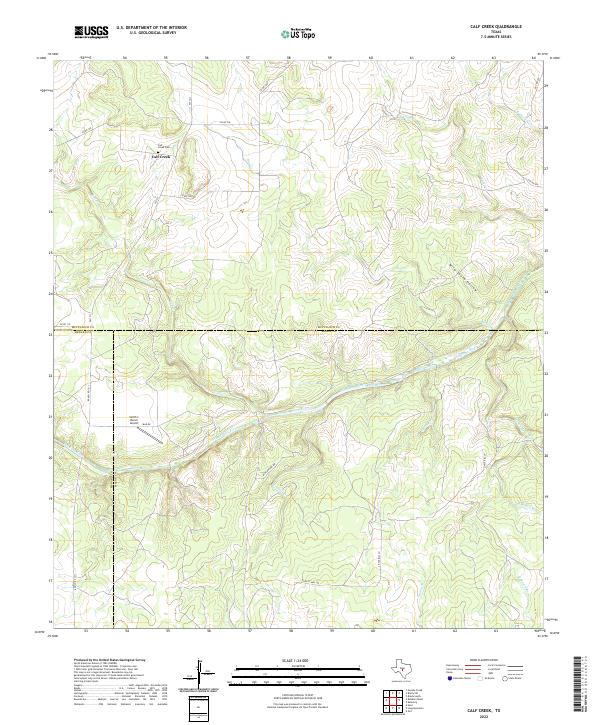 2022 Calf Creek2022 Print · USGSMcCulloch and Mason counties are shown in the early twenty-first century, centered on the ranching country surrounding the San Saba River. Researchers can locate the Calf Creek Cem, the Smith I- Ranch Airport, and local landmarks like Wild South Hollow.
 - 2022 Map of Monument Mountain, 2022 Print
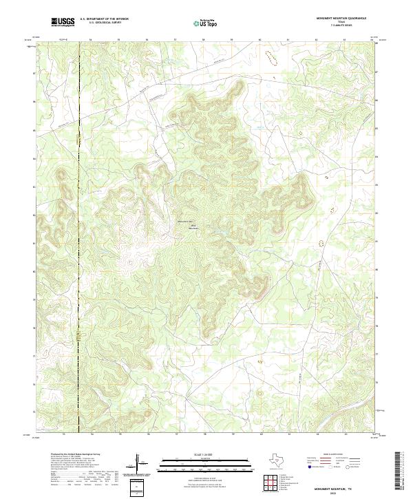 2022 Monument Mountain2022 Print · USGSThe Mason County uplands are captured here in the early twenty-first century, showing the intersection of ranching life and rugged terrain. Researchers can trace land access along Ernest Jordan Rd or find water sources like Walnut Spring and the James River.
 - 2022 Map of Art, 2022 Print
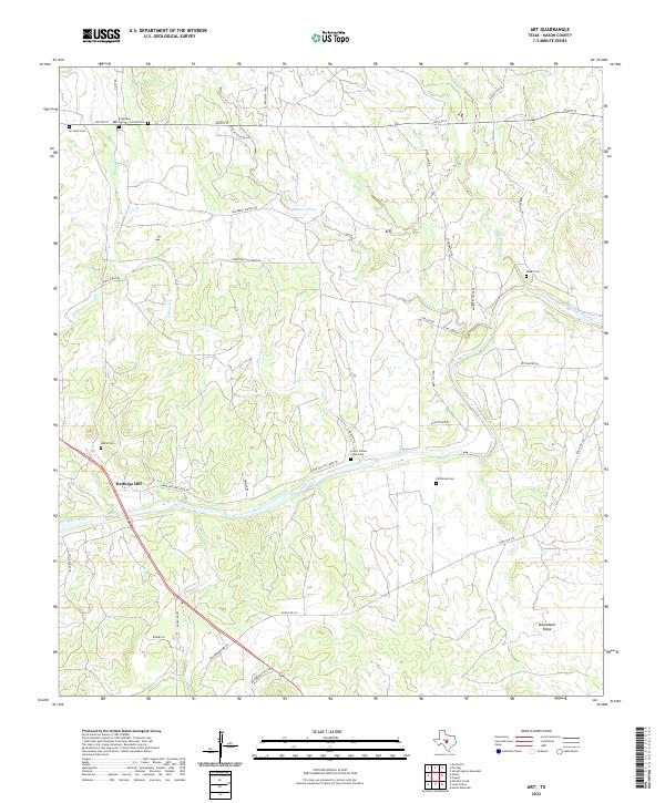 2022 Art2022 Print · USGSMason County ranchlands and the banks of the Llano River come into focus in this contemporary topographic record. Genealogists can locate several family burial sites including Art West Cem, Martin Cem, and the riverfront settlement of Hedwigs Hill.
 - 2022 Map of Monument Mountain SE, 2022 Print
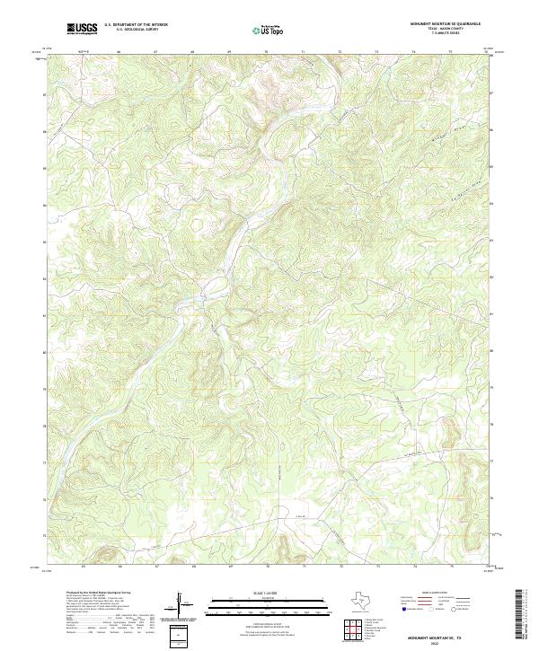 2022 Monument Mountain SE2022 Print · USGSMason County at the start of the twenty-first century reveals a landscape shaped by the James River and its tributaries. Local history researchers can trace old ranch access routes like James River Rd and family-named landmarks like Ed Keller Draw.
 - 2022 Map of The Falls, 2022 Print
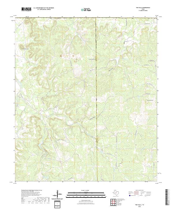 2022 The Falls2022 Print · USGSThe Kimble and Gillespie county line comes alive in this contemporary survey of the Texas Hill Country. Genealogists and researchers can trace family landmarks like Anderegg Cem and water features such as The Falls and Garden Spring.
 - 2022 Map of Spice Rock, 2022 Print
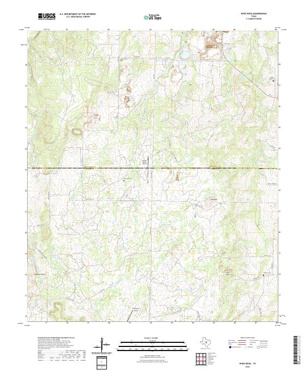 2022 Spice Rock2022 Print · USGSThe Mason and McCulloch county line stretches across this cattle ranching landscape in the early twenty-first century. Genealogists and local historians can trace rural family plots at Blackjack Cem and Mount Tabor Cem or locate landmarks like Spy Rock.
 - 2022 Map of Fredonia, 2022 Print
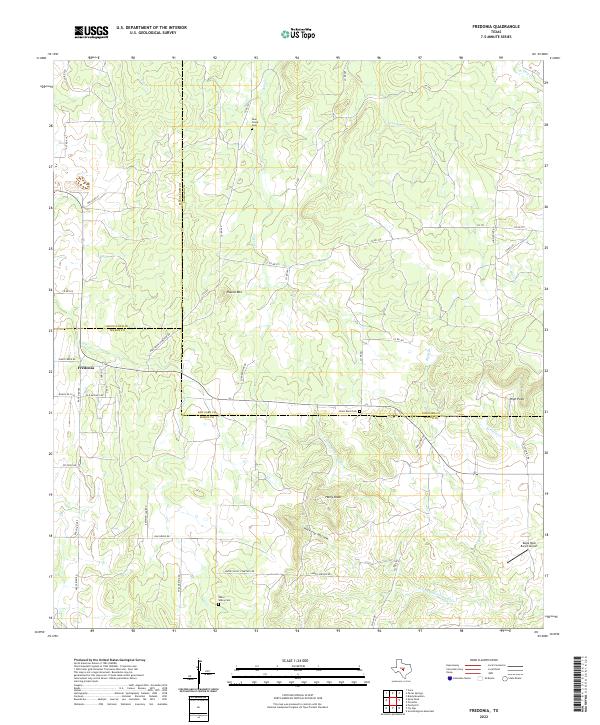 2022 Fredonia2022 Print · USGSThe Fredonia area where San Saba, McCulloch, and Mason counties converge is captured here in the early twenty-first century. Genealogists can locate burial sites at Union Band Cem and Deer Creek Cem while tracing the old paths of Spillar Mine Rd.
 - 2022 Map of Mason, 2022 Print
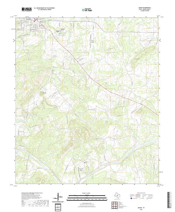 2022 Mason2022 Print · USGSMason and the surrounding Texas Hill Country are captured here in the early twenty-first century, showing a mix of historic settlement and ranching land. Genealogists and researchers can locate the Mason County Courthouse, find the Reichenau Cem, and trace the path of the Llano River.
 - 2022 Map of Noxville, 2022 Print
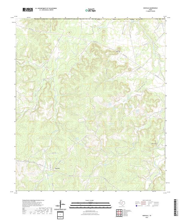 2022 Noxville2022 Print · USGSNoxville and the surrounding Kimble County ranchlands are documented here in recent years, centered on the vital water sources of the Texas Hill Country. Researchers can map out numerous historic water points like Walker Spring, James River Spring, and Frough Spring across the drainage basin.
 - 2022 Map of Purdy Hill, 2022 Print
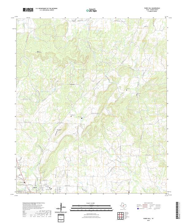 2022 Purdy Hill2022 Print · USGSMason County ranching country is captured here during the early twenty-first century, showing a landscape shaped by rugged hills and family estates. Genealogists can locate several historic burial sites, including the Old Gooch Cem, Jones Cem, and Polk Cem.
 - 2022 Map of Katemcy, 2022 Print
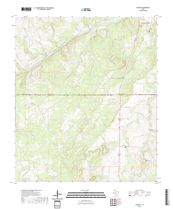 2022 Katemcy2022 Print · USGSThe San Saba River country of Mason and McCulloch counties is shown here in the early 2020s, documenting a landscape of ranch roads and historic crossroads. Researchers can trace local heritage at Camp San Saba Cem or explore the geography of Katemcy Rocks and Decker Hollow.
 - 2022 Map of Fly Gap, 2022 Print
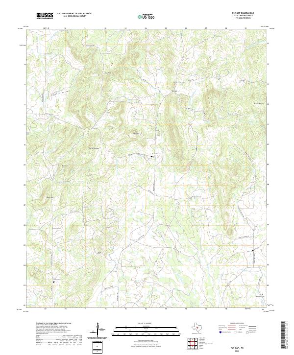 2022 Fly Gap2022 Print · USGSMason County ranching country comes into focus in this recent survey of the Texas Hill Country. Genealogists can trace family heritage through the sites of the Fly Gap Cem, Leifeste Cem, and landmarks like Tom Green Mtn.
 - 2022 Map of Panther Creek, 2022 Print
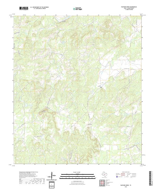 2022 Panther Creek2022 Print · USGSMason County ranch land and river bluffs are documented in this recent survey of the Texas Hill Country. Researchers can trace family history at the Bober Family Cem or locate topographic landmarks like the Cannon Mountains and H L Bluffs.
 - 2022 Map of House Mountain, 2022 Print
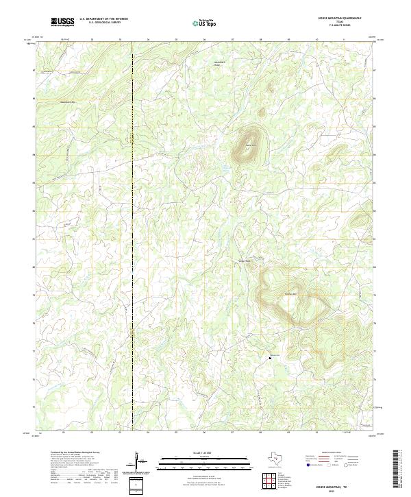 2022 House Mountain2022 Print · USGSThe borderlands of Llano and Mason counties are captured here in the early 2020s, showing a landscape of high summits and isolated springs. Family historians can locate the Putman Cemetery and trace routes like Old Putnam Place Drive near House Mountain.
 - 2022 Map of Smoothingiron Mountain, 2022 Print
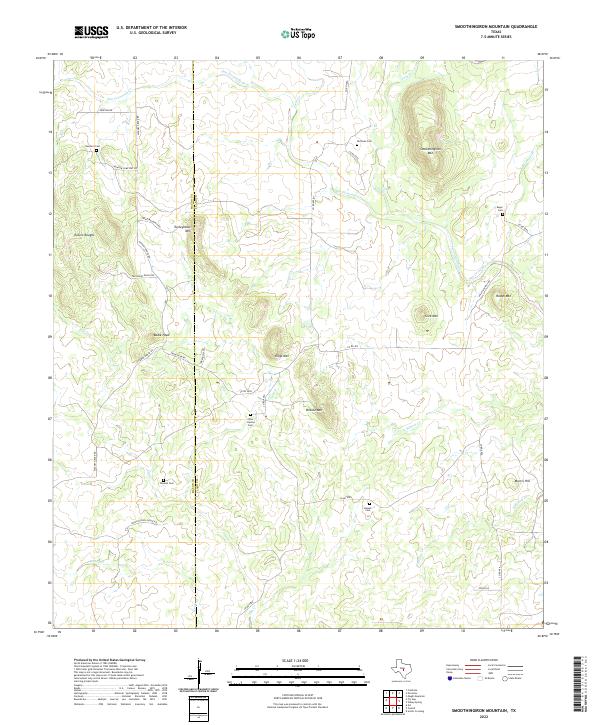 2022 Smoothingiron Mountain2022 Print · USGSMason and Llano counties appear in this recent record of their rugged ranching landscape and family-settled hills. Genealogists can locate several family burial grounds, including Kassell Cem and Newsom Cem, near landmarks like Smoothingiron Mtn.
 - 2022 Map of Castell, 2022 Print
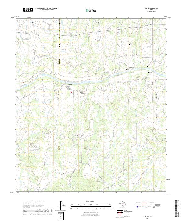 2022 Castell2022 Print · USGSCastell remains a quintessential Texas Hill Country community on the Llano River as seen in this contemporary topographic record. Local historians can trace early German family settlement patterns through an array of landmarks like Saint John Cem, Meusebach Ridge, and Castell Spring.
 - 2022 Map of Pontotoc, 2022 Print
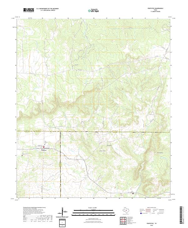 2022 Pontotoc2022 Print · USGSThe Texas Hill Country crossroads of Pontotoc is documented here as it remains today, straddling the boundaries of three counties. Genealogists and researchers can trace local family landmarks through the Old Pontotoc Cemetery, Cold Creek Cemetery, and geologic features like Panther Rock.
 - 2022 Map of Cherry Mountain, 2022 Print
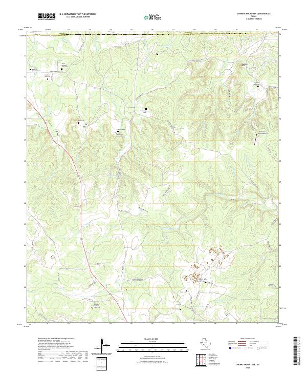 2022 Cherry Mountain2022 Print · USGSGillespie County is shown here in the contemporary era as a landscape of historic family ranches and ancestral burial grounds. Researchers can trace early German-Texan lineage at the Marschall Meusebach Cem, Dittmar Cem, or the Christ Lutheran Church Cem.
 - 2022 Map of Grit, 2022 Print
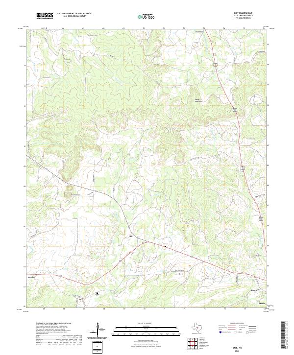 2022 Grit2022 Print · USGSThe rural landscapes west of Mason come into focus in the early 21st century, showing a network of ranch roads and limestone hills. Genealogists and local historians can trace family ties at Grit Cem or Cavness Cem and locate the small communities of Streeter and Grit.
 - 2023 Map of Cherry Spring, 2023 Print
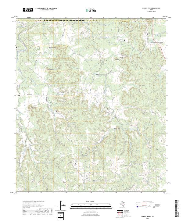 2023 Cherry Spring2023 Print · USGSGillespie County ranching land is documented in this recent survey of the Texas Hill Country. Researchers can locate numerous family burial sites and high points like Langes Mill Cem, Lehmann Mtn, and the settlement of Doss.
 - 2023 Map of Loyal Valley, 2023 Print
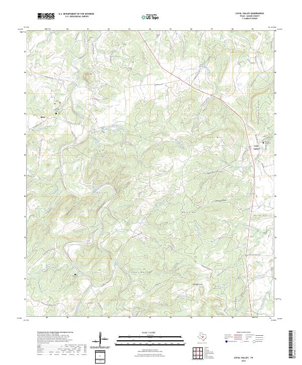 2023 Loyal Valley2023 Print · USGSMason County’s high country is preserved here in the early twenty-first century, showing a landscape of family-run ranch lands and small rural outposts. Researchers can trace ancestral sites at Loyal Valley Cem, Hilda Methodist Cem, and landmarks like Mason Mtn.
End of results
Showing maps 1-25 of 25
Top cities of Mason County
Frequently asked questions
- What are the different types of historical maps available for Mason County?
- What is the oldest map of Mason County?
- Where can I purchase historical maps of Mason County for my home or office?
- Where can I download high-res historical maps of Mason County?
- Are there historical topographic maps available for Mason County?
- Is there historical aerial imagery available for Mason County?
- Where are historical maps of Mason County sourced from?