Old Maps of Rockdale, Texas for Metal Detecting
Plan your next treasure hunt with 19 historic maps of Rockdale. Find old homesites, ghost towns, trails, and gathering spots that may be lost to time — perfect for identifying promising metal detecting locations.
- Locate forgotten sites: Uncover places like long-lost settlements, abandoned rail lines, or gathering spots.
- Plan better hunts: Use map overlays combined with LiDAR or satellite views to narrow in on historically rich areas.
- Made for detectorists: Thousands of hobbyists use these maps to discover relics, coins, and hidden history.
Use these historic maps to boost your research and find new opportunities beneath the surface of Rockdale.
Rockdale, TX maps
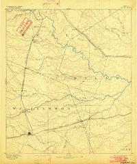
(19)- 1885 Map of Taylor
 1885 Taylor1885 Print · USGSCentral Texas in the late nineteenth century was a landscape in transition as railroads redefined the old cotton frontier. Genealogists and historians can trace the early growth of rail towns like Taylor and Granger, or find vanished rural outposts such as Ad Hall and Davilla.
 - 1887 Map of Taylor
 1887 Taylor1887 Print · USGSCentral Texas is captured in the late nineteenth century as the railroad began to redefine the blackland prairie. Genealogists can locate early settlements like Davilla and Granger or trace family lands near the San Gabriel River and Taylor.
 - 1894 Map of Taylor, 1902 Print
 1894 Taylor1902 Print · USGSCentral Texas at the end of the nineteenth century was a landscape of expanding rail lines and established river settlements. Genealogists and historians can trace the growth of Taylor and Granger, or locate smaller junctions like Ad Hall and Buckholts along the Gulf Colorado and Santa Fe Railroad.4 unique versions available
 - 1954 Map of Austin, 1964 Print
 1954 Austin1964 Print · USGSCentral Texas is captured during a period of steady growth as the capital city and its neighboring farm towns began to modernize. Researchers can trace historic rail corridors like the Southern Pacific RR or locate landmarks such as Bergstrom Air Force Base and Pilot Knob.4 unique versions available
 - 1956 Map of Milano
 1956 Milano1956 Print · USGSRailroad junctions and rural post offices define this Milam County landscape during the early twentieth century. Genealogists and historians can locate family-named landmarks like Septimus) Olson or trace the early paths of the San Antonio and Aransas Pass Railway.
 - 1961 Map of Rockdale East, 1964 Print
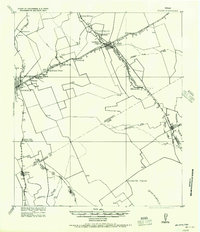
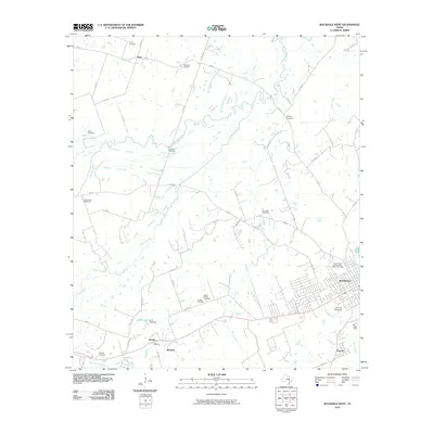
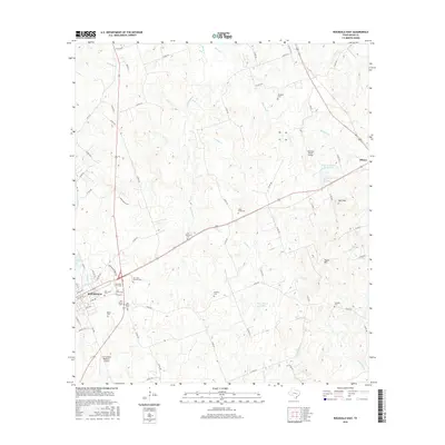
 1961 Rockdale East1964 Print · USGSThe eastern edge of Rockdale and the surrounding Milam County prairie are captured in the early sixties, showing a landscape defined by rail lines and rural community centers. Family historians can trace local landmarks like Aycock Sch, San Jose Cem, and Mt Zion Ch.3 unique versions available
 - 1962 Map of Rockdale West, 1964 Print
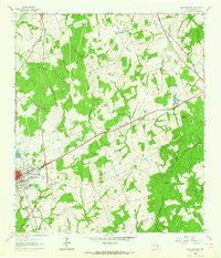
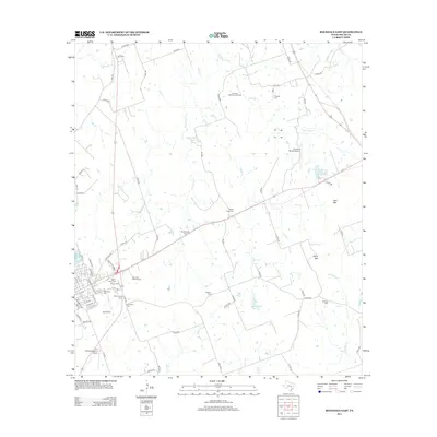
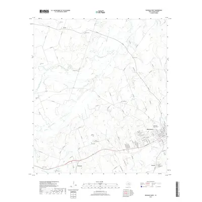
 1962 Rockdale West1964 Print · USGSMilam County in the early sixties shows the growth of Rockdale alongside traditional Texas river-bottom farming. Genealogists and historians can trace family locations through numerous sites like Hickory Grove Cem, Bushdale Cem, and Tracy.3 unique versions available
 - 1985 Map of Taylor, 1986 Print
 1985 Taylor1986 Print · USGSWilliamson and Bell counties in the mid-eighties reveal a landscape where the cattle and cotton economy met burgeoning rail infrastructure. Genealogists and historians can trace the paths of the Missouri Pacific railroad through unique hamlets like Ding Dong, Frame Switch, and Beyersville.2 unique versions available
 - 1993 Map of Bryan
 1993 Bryan1993 Print · USGSBrazos Valley life in the early nineties centered on the rapid growth of College Station and the agricultural heartbeat of the river bottomlands. Genealogists and historians can trace the paths of the Kings Highway, several rail lines, and local landmarks like City Cem and Texas A&M University.
 - 2010 Map of Rockdale East, 2010 Print
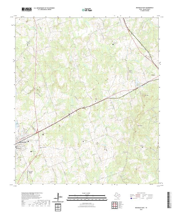
 2010 Rockdale East2010 Print · USGSCovers Rockdale, including Milano, Milam County, and other nearby areas
 - 2010 Map of Rockdale West, 2010 Print
 2010 Rockdale West2010 Print · USGSCovers Rockdale, including Tracy, Handy, and other nearby areas
 - 2013 Map of Rockdale East, 2013 Print
 2013 Rockdale East2013 Print · USGSCovers Rockdale, including Milano, Milam County, and other nearby areas
 - 2013 Map of Rockdale West, 2013 Print
 2013 Rockdale West2013 Print · USGSCovers Rockdale, including Tracy, Handy, and other nearby areas
 - 2016 Map of Rockdale West, 2016 Print
 2016 Rockdale West2016 Print · USGSCovers Rockdale, including Tracy, Handy, and other nearby areas
 - 2016 Map of Rockdale East, 2016 Print
 2016 Rockdale East2016 Print · USGSCovers Rockdale, including Milano, Milam County, and other nearby areas
 - 2019 Map of Rockdale West, 2019 Print
 2019 Rockdale West2019 Print · USGSCovers Rockdale, including Tracy, Handy, and other nearby areas
 - 2019 Map of Rockdale East, 2019 Print
 2019 Rockdale East2019 Print · USGSCovers Rockdale, including Milano, Milam County, and other nearby areas
 - 2022 Map of Rockdale East, 2022 Print
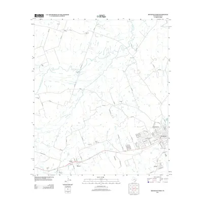
 2022 Rockdale East2022 Print · USGSMilam County's eastern cattle and ranch lands come into focus in this recent survey of the area between Rockdale and Milano. Local historians can trace numerous legacy burial sites like the Jewish Cemetery and Sefcik - Kohut Cemetery.
 - 2022 Map of Rockdale West, 2022 Print
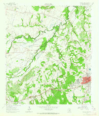
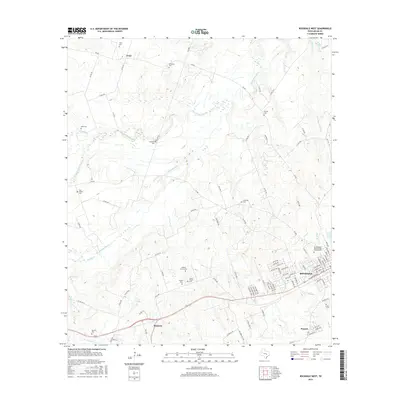
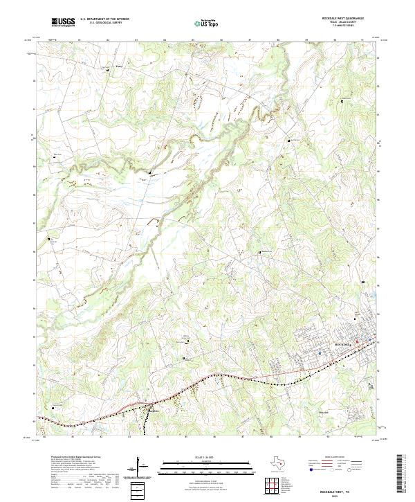 2022 Rockdale West2022 Print · USGSThe western edge of Rockdale and the surrounding Milam County countryside are preserved here in the early twenty-first century. Genealogists can locate several historic burial grounds including Odd Fellows Cem, Tracy Cem, and the Hirt-Braun Cem along the San Gabriel River.
End of results
Showing maps 1-19 of 19
Top cities near Rockdale
- Cameron historical maps
- Thorndale historical maps
- Lexington historical maps
- Buckholts historical maps
- Milano historical maps
Frequently asked questions
- What are the different types of historical maps available for Rockdale?
- What is the oldest map of Rockdale?
- Where can I purchase historical maps of Rockdale for my home or office?
- Where can I download high-res historical maps of Rockdale?
- Are there historical topographic maps available for Rockdale?
- Is there historical aerial imagery available for Rockdale?
- Where are historical maps of Rockdale sourced from?