
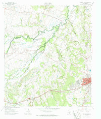
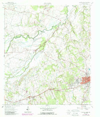
1962 Map of Rockdale West
USGS Topo · Published 1964About this map
Rockdale anchors the southeastern corner of this Milam County landscape, showing the town's mid-century expansion toward Murray Hill. The area is defined by the winding course of the San Gabriel River and its confluence with Brushy Creek. Smaller rural communities and family landholdings are evident through numerous hilltop cemeteries, including Bushdale Cem and Hickory Grove Cem, often situated near small country schools like Bethlehem Sch (Cem).
Find a feature on this map
30 named features on this map. Tap any name to fly to it.
Don’t see what you’re looking for? This feature index may not catch every label — zoom into the map to look around manually.
Map Details
Editions of this 1962 Rockdale West Map
3 editions found
Other maps of this area

1885 · Taylor
USGS Topo · 1:125,000

1887 · Taylor
USGS Topo · 1:125,000

1894 · Taylor
USGS Topo · 1:125,000

1910 · Buckholts
USGS Topo · 1:24,000

1912 · Buckholts
USGS Topo · 1:31,680

1954 · Austin
USGS Topo · 1:250,000

1956 · Milano
USGS Topo · 1:62,500

1961 · Cameron
USGS Topo · 1:24,000

1961 · Rockdale East
USGS Topo · 1:24,000
1962 · Pettibone
USGS Topo · 1:24,000