2000s (21st Century) Maps of Montague County, Texas
Explore 125 historic maps of Montague County from the 2000s (21st Century). These maps offer a rare glimpse into what life looked like during the 2000s — showing old roads, neighborhoods, homes, and landmarks that have changed or disappeared over time.
Whether you're researching your family's past, planning a metal detecting trip, or studying how Montague County's landscape evolved across the 2000s, these high-resolution maps are a powerful tool for exploring the history of this region.
- Focus on a specific era: All maps on this page are from the 2000s, giving you a focused view of this time period.
- See what’s changed: Compare century-old streets, trails, and buildings to today's modern landscape using overlays and satellite layers.
- Research with precision: Use these maps for genealogy, historical research, land use analysis, or educational projects.
- View, download, or print: Maps are fully viewable online in high resolution, and can be downloaded or printed for your own records.
Start exploring Montague County's history through authentic maps from the 2000s. This is your window into the past.
Montague County, TX maps
(125)- 2010 Map of Stoneburg, 2010 Print
 2010 Stoneburg2010 Print · USGSStoneburg and the surrounding Montague County ranch lands are captured here at the start of the decade. Genealogists and local historians can locate Hopewell Cemetery and trace the development of the Underwood Ray Oil Field alongside Bowie Lake.
 - 2010 Map of Montague, 2010 Print
 2010 Montague2010 Print · USGSMontague and its surrounding ranchlands are shown here in the early twenty-first century, revealing a landscape defined by water conservation and oil production. Researchers can locate family landmarks like Saint Williams Cemetery or trace old routes like Dixie School Rd and Aurelia School Rd.
 - 2010 Map of Selma, 2010 Print
 2010 Selma2010 Print · USGSMontague County, Texas, is captured here in the early twenty-first century as rural homesteads and oil interests occupy the prairie around Lake Amon G Carter. Genealogists and local historians can locate the Selma Cemetery, Crafton Cemetery, and the Bowie Southwest Oil Field.
 - 2010 Map of Muenster West, 2010 Print
 2010 Muenster West2010 Print · USGSMuenster and the surrounding Texas ranchlands are captured here in the early twenty-first century, showcasing a highly managed agricultural landscape. Genealogists and local historians can trace the creek-side properties and numerous federal dams, including Soil Conservation Service Site 2 Dam and the area near Tyler Bluff.
 - 2010 Map of Saint Jo, 2010 Print
 2010 Saint Jo2010 Print · USGSSaint Jo and the surrounding Montague County countryside are captured here in the early 2000s, showing a landscape shaped by water conservation and rural commerce. Researchers can locate family sites near Fairview Cemetery or trace the terrain around Gordon Mountain and the settlement of Dye Mound.
 - 2010 Map of Brushy Mound, 2010 Print
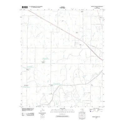 2010 Brushy Mound2010 Print · USGSMontague County at the turn of the decade is a landscape of cattle ranches, oil fields, and early family burial grounds. Local historians can trace property boundaries and lineages near McDonald Cemetery, the Anson Oil Field, and Dead Ox Mound.
 - 2010 Map of Salona, 2010 Print
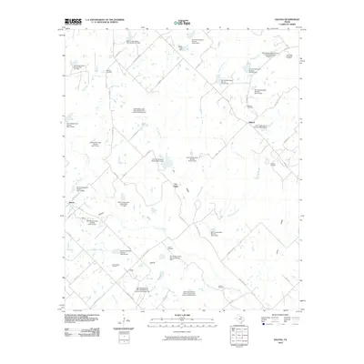 2010 Salona2010 Print · USGSMontague County ranching and oil country are shown here in the early twenty-first century, featuring the communities of Salona and Mallard. Researchers can trace family history at Denver Cemetery or locate industrial sites like the Aries Caddo Oil Field and Jim Ned Lookout.
 - 2010 Map of Buzzard Roost Knob, 2010 Print
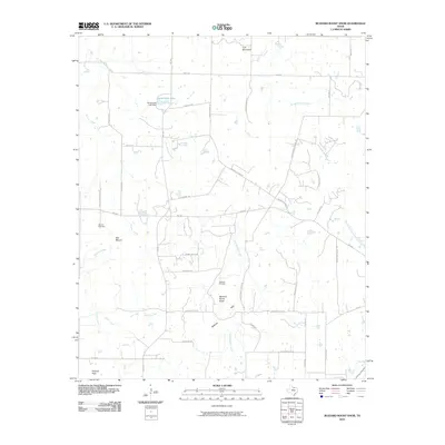 2010 Buzzard Roost Knob2010 Print · USGSMontague County at the turn of the decade is shown here as a landscape of high ridges and rural road networks. Researchers can trace land use through the Hildreth Oil Field or locate historic corridors like Rock Springs School Rd and Oak Hill Cemetery.
 - 2010 Map of Bowie, 2010 Print
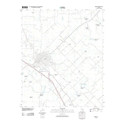 2010 Bowie2010 Print · USGSBowie and the surrounding Montague County landscape are shown in detail during the early twenty-first century. Researchers can trace local heritage through several burying grounds like Saint Peters Cemetery and Brushy Cemetery, or locate the Mueller Oil Field.
 - 2010 Map of Forestburg, 2010 Print
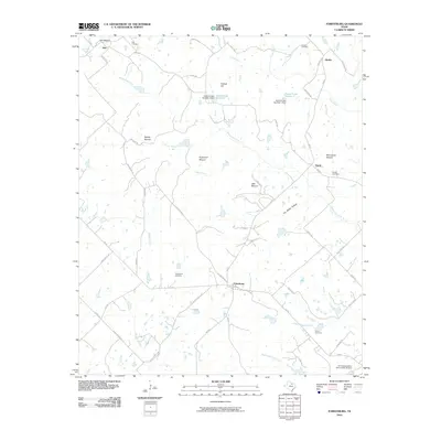 2010 Forestburg2010 Print · USGSForestburg and the surrounding Montague County countryside are captured here in the early twenty-first century. Researchers can locate family roots at Antioch and Traylor Cemetery, or trace old property lines near Dye Mound and Jim White Hollow.
 - 2010 Map of Freemound, 2010 Print
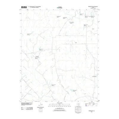 2010 Freemound2010 Print · USGSFreemound and the surrounding Cooke County ranch lands are shown here at the turn of the twenty-first century. Researchers can trace the extensive network of watershed dams and find local energy landmarks like the Dangel Oil Field and Gatewood Oil Field.
 - 2010 Map of Prairie Valley School, 2010 Print
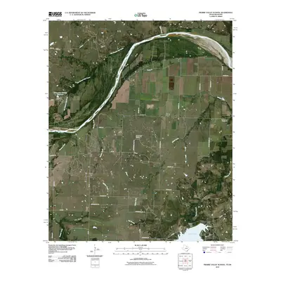 2010 Prairie Valley School2010 Print · USGSCrossing the Texas-Oklahoma border in the early twenty-first century, this map captures a landscape shaped by petroleum and the Red River. Researchers can locate the Oscar Cemetery, the Nocona North Spanish Fort Oil Field, and the residential layout of Hynds City.
 - 2010 Map of Ringgold, 2010 Print
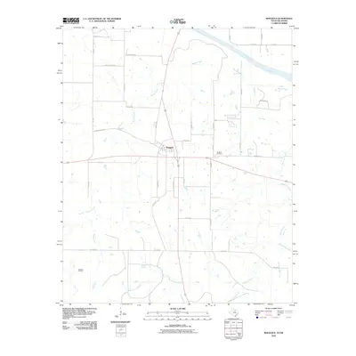 2010 Ringgold2010 Print · USGSThe northern edge of Montague County comes into focus in the early 2000s, centered on the crossroads at Ringgold. Genealogists and local historians can trace family plots at Ringgold Cemetery or explore the rural reach of Worsham Oil Field and Beaver Creek.
 - 2010 Map of Bonita, 2010 Print
 2010 Bonita2010 Print · USGSMontague County at the turn of the decade shows a rural landscape of scattered communities and vital water management. Genealogists can locate family landmarks like Union Cemetery and Reed Cemetery, or trace the grounds of Camp Letoli and the Bowers Oil Field.
 - 2010 Map of Nocona, 2010 Print
 2010 Nocona2010 Print · USGSNorth Texas hill country and the town of Nocona are detailed here during the late twentieth century. Genealogists can locate several area burial grounds like Molsbee Cemetery and landmarks such as Benton Hill and Lake Nocona.
 - 2010 Map of Leon North, 2010 Print
 2010 Leon North2010 Print · USGSLove County and the North Texas borderlands are captured here at a time when the Red River still dictated the pace of rural life. Genealogists can locate Courtney Cemetery and Murrell Cemetery near the communities of Leon and Rubottom.
 - 2010 Map of Leon South, 2010 Print
 2010 Leon South2010 Print · USGSThe Red River borderlands of Oklahoma and Texas come into focus here during the early 21st century. Researchers can trace family history through several rural burial grounds such as Williams Cemetery and Scanland Cemetery near the community of Bulcher.
 - 2010 Map of Spanish Fort, 2010 Print
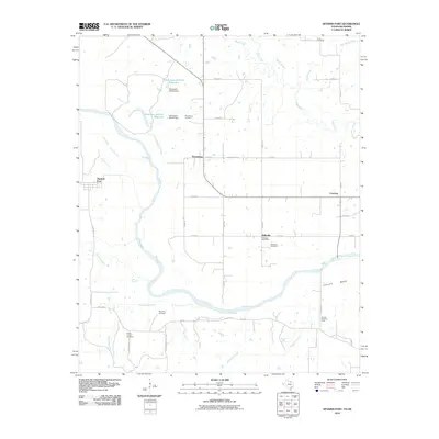 2010 Spanish Fort2010 Print · USGSThe Red River valley at the Texas-Oklahoma border comes into focus in the early twenty-first century as a land of small settlements and river bends. Genealogists and historians can trace local landmarks like Petersburg Cemetery, Spanish Fort, and the Illinois Bend Oil Field.
 - 2010 Map of Fleetwood, 2010 Print
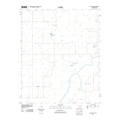 2010 Fleetwood2010 Print · USGSThe Oklahoma-Texas borderlands along the Red River are captured here in the early twenty-first century. Genealogists and local historians can trace the rural communities of Oscar and Fleetwood or locate specific local landmarks like Burned Out Bridge Rd.
 - 2010 Map of Belcherville, 2010 Print
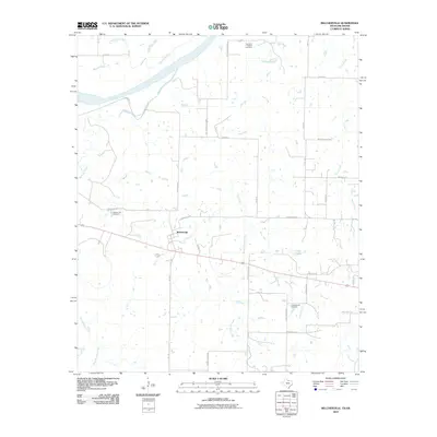 2010 Belcherville2010 Print · USGSNorth Texas ranching and farming lands near the Oklahoma border are captured here in the early twenty-first century. Genealogists and local historians can locate Belcherville Cemetery, Red River Station Cemetery, and the old route of the Old Wichita Hwy.
 - 2010 Map of Terral, 2010 Print
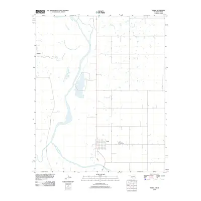 2010 Terral2010 Print · USGSThe Oklahoma-Texas borderlands along the Red River are captured here in the early twenty-first century. Researchers can trace family history through the streets of Terral, visit the Terral Cemetery, and locate rural landmarks like Stanfield and the 98th Meridian Rd.
 - 2010 Map of Greenwood, 2010 Print
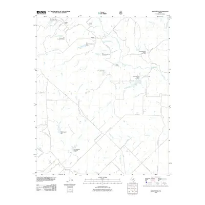 2010 Greenwood2010 Print · USGSNorth Texas rural life and water management are the focus of this early twenty-first-century survey of the Greenwood area. Genealogists and historians can trace family locations near Bewley Cemetery or along the banks of Clear Creek and Dixon Creek.
 - 2010 Map of Sunset, 2010 Print
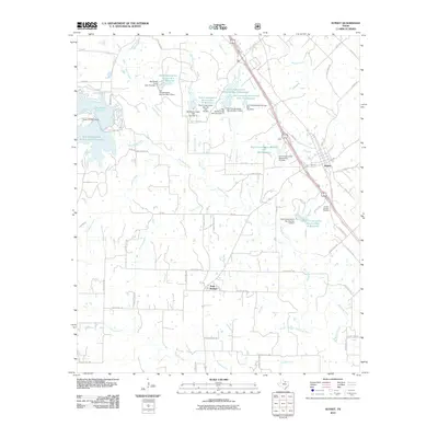 2010 Sunset2010 Print · USGSSunset and Park Springs appear in this 2010 survey of North Texas, showing a landscape reshaped by decades of watershed management. Researchers can trace rural cemeteries like the Sunset Beasley Cemetery or explore the vast reservoir system including Lake Amon G Carter.
 - 2010 Map of New Harp, 2010 Print
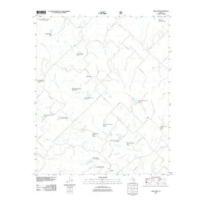 2010 New Harp2010 Print · USGSMontague County ranching lands and water management systems come into focus in the early 21st century. Researchers can locate New Harp and trace local family lineages at Rush Cemetery or Cottonwood Cemetery along the banks of Denton Creek.
 - 2010 Map of Smyrna, 2010 Print
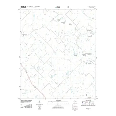 2010 Smyrna2010 Print · USGSSmyrna and the surrounding Montague County countryside are captured here in the early twenty-first century as a landscape of managed watersheds and ancestral burial grounds. Researchers can locate family sites at Huddleston Cemetery, Pella Cemetery, or Fryer Cemetery while tracing the rural road network.
Showing maps 1-25 of 125
Top cities of Montague County
Frequently asked questions
- What are the different types of historical maps available for Montague County?
- What is the oldest map of Montague County?
- Where can I purchase historical maps of Montague County for my home or office?
- Where can I download high-res historical maps of Montague County?
- Are there historical topographic maps available for Montague County?
- Is there historical aerial imagery available for Montague County?
- Where are historical maps of Montague County sourced from?