Old Maps of Rice, Texas for Academic Research
Study the evolution of Rice with 28 high-resolution historic maps. Whether you're teaching, researching, or modeling changes in land use, these maps provide essential visual documentation of urban, environmental, and geographic change.
- Analyze long-term change: Track patterns in development, transportation, and natural features.
- Ideal for environmental or urban studies: Support academic projects with primary historical map data.
- Use in the classroom or lab: Educators and researchers rely on these maps to bring historical context to life.
These maps are a powerful tool for teaching, research, and visualizing how Rice has changed over the decades.
Rice, TX maps
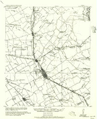
(28)- 1954 Map of Dallas, 1963 Print
 1954 Dallas1963 Print · USGSNorth Texas in the mid-fifties and early sixties reveals a landscape of rapid urban growth and water management. Genealogists and historians can trace the evolution of the metroplex through landmarks like Hensley Field, Boles Orphan Home, and the Texas & Pacific RR.4 unique versions available
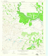
 - 1956 Map of Ennis
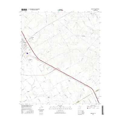
 1956 Ennis1956 Print · USGSEllis County agricultural life is captured here in the years following the first World War, centered on the rail crossroads at Ennis P.O. Genealogists can locate family landmarks like Ghost School, Antioch Church, and the settlement of Boyce (Cottonwood).
 - 1958 Map of Dallas
 1958 Dallas1958 Print · USGSNorth Texas in the late fifties shows the dramatic expansion of the Metroplex as it absorbs surrounding farm towns. Genealogists and historians can trace old rail lines like the Missouri-Kansas-Texas and locate early lakefront developments at Eagle Mountain Lake and Lake Worth Village.
 - 1961 Map of Chatfield, 1966 Print
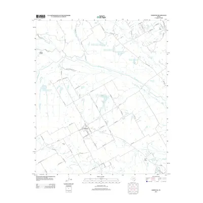
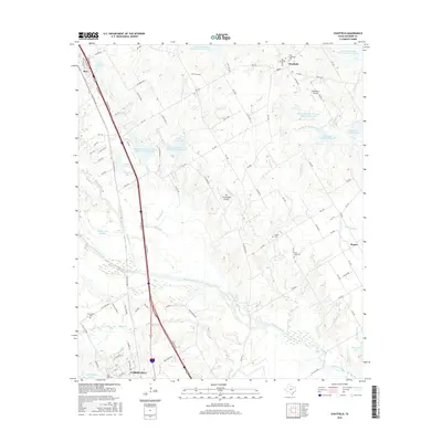
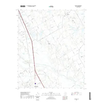
 1961 Chatfield1966 Print · USGSNavarro County's petroleum and agricultural heartland is documented here during the early sixties, showing the expansion of the Corsicana Oil Field. Genealogists and historians can trace family locations near Chatfield Cem, Roane, and the Tupelo Ch.
 - 1962 Map of Emhouse, 1965 Print
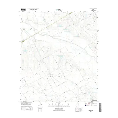
 1962 Emhouse1965 Print · USGSNorth of Corsicana in the early sixties, the borderlands of Navarro and Ellis Counties supported a landscape of prairie creeks and busy rail lines. Trace family history near Emhouse, locate the Pattison Cem, and follow the path of the Rock Island and Pacific railroad.2 unique versions available
 - 1962 Map of Ennis East, 1965 Print
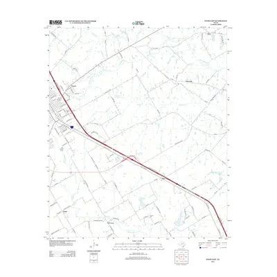
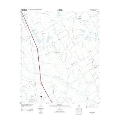
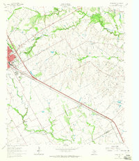 1962 Ennis East1965 Print · USGSEastern Ellis County in the early 1960s shows a landscape of rail-linked prairie towns and country schools. Genealogists can trace family footprints at Redwine Cem, Alma, and the St Johns Ch.3 unique versions available
 - 1962 Map of Rosser SW, 1965 Print
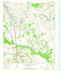
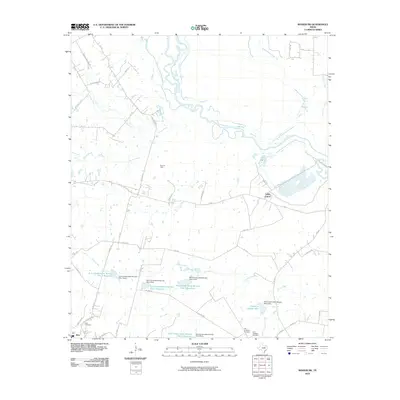
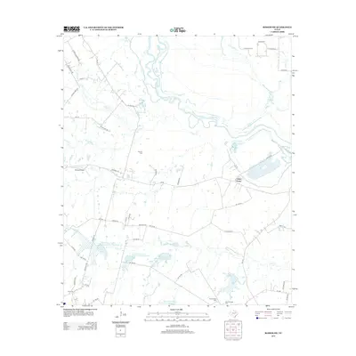
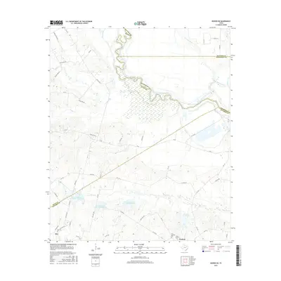
 1962 Rosser SW1965 Print · USGSNavarro County in the early 1960s was a landscape of rural family farms and emerging water management systems along the Trinity River. Local researchers can locate Rice Cem, the Hopewell Ch, and several named reservoirs along Grays Creek.
 - 1985 Map of Corsicana, 1986 Print
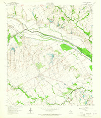
 1985 Corsicana1986 Print · USGSNorth Central Texas was defined by its expanding water reservoirs and deep-rooted rail corridors in the mid-eighties. Researchers can trace the heritage of local communities through landmarks like Southwestern Bible Institute, Navarro College, and rural markers such as Derrs Chapel.2 unique versions available
 - 2010 Map of Emhouse, 2010 Print
 2010 Emhouse2010 Print · USGSCovers Rice, including Corsicana, Emhouse, and other nearby areas
 - 2010 Map of Chatfield, 2010 Print
 2010 Chatfield2010 Print · USGSCovers Rice, including Corsicana, Tupelo, and other nearby areas
 - 2010 Map of Ennis East, 2010 Print
 2010 Ennis East2010 Print · USGSCovers Rice, including Ennis, Alma, and other nearby areas
 - 2010 Map of Rosser SW, 2010 Print
 2010 Rosser SW2010 Print · USGSCovers Rice, including Valley Farms, Ellis County, and other nearby areas
 - 2012 Map of Ennis East, 2012 Print
 2012 Ennis East2012 Print · USGSCovers Rice, including Ennis, Alma, and other nearby areas
 - 2012 Map of Chatfield, 2012 Print
 2012 Chatfield2012 Print · USGSCovers Rice, including Corsicana, Tupelo, and other nearby areas
 - 2012 Map of Emhouse, 2012 Print
 2012 Emhouse2012 Print · USGSCovers Rice, including Corsicana, Emhouse, and other nearby areas
 - 2012 Map of Rosser SW, 2012 Print
 2012 Rosser SW2012 Print · USGSCovers Rice, including Valley Farms, Ellis County, and other nearby areas
 - 2016 Map of Chatfield, 2016 Print
 2016 Chatfield2016 Print · USGSCovers Rice, including Corsicana, Tupelo, and other nearby areas
 - 2016 Map of Ennis East, 2016 Print
 2016 Ennis East2016 Print · USGSCovers Rice, including Ennis, Alma, and other nearby areas
 - 2016 Map of Emhouse, 2016 Print
 2016 Emhouse2016 Print · USGSCovers Rice, including Corsicana, Emhouse, and other nearby areas
 - 2016 Map of Rosser SW, 2016 Print
 2016 Rosser SW2016 Print · USGSCovers Rice, including Valley Farms, Ellis County, and other nearby areas
 - 2019 Map of Chatfield, 2019 Print
 2019 Chatfield2019 Print · USGSCovers Rice, including Corsicana, Tupelo, and other nearby areas
 - 2019 Map of Ennis East, 2019 Print
 2019 Ennis East2019 Print · USGSCovers Rice, including Ennis, Alma, and other nearby areas
 - 2019 Map of Rosser SW, 2019 Print
 2019 Rosser SW2019 Print · USGSCovers Rice, including Valley Farms, Ellis County, and other nearby areas
 - 2019 Map of Emhouse, 2019 Print
 2019 Emhouse2019 Print · USGSCovers Rice, including Corsicana, Emhouse, and other nearby areas
 - 2022 Map of Rosser SW, 2022 Print
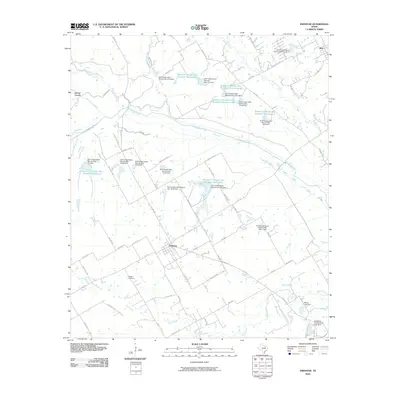
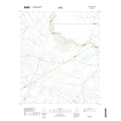
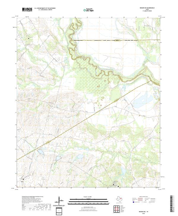 2022 Rosser SW2022 Print · USGSNavarro County and the surrounding river bottomlands are captured here in the early 2020s, showing a landscape defined by the winding Trinity River. Genealogists can locate family landmarks like Rice Cem and Chatfield Cem Memorial Number 2 among the rolling prairie and creek beds.
Showing maps 1-25 of 28
Top cities near Rice
- Corsicana historical maps
- Ennis historical maps
- Palmer historical maps
- Seven Points historical maps
- Blooming Grove historical maps
- Bardwell historical maps
See more
Frequently asked questions
- What are the different types of historical maps available for Rice?
- What is the oldest map of Rice?
- Where can I purchase historical maps of Rice for my home or office?
- Where can I download high-res historical maps of Rice?
- Are there historical topographic maps available for Rice?
- Is there historical aerial imagery available for Rice?
- Where are historical maps of Rice sourced from?