2010s Maps of San Saba County, Texas
Explore 104 historic maps of San Saba County from the 2010s. These maps offer a rare glimpse into what life looked like during the 2010s — showing old roads, neighborhoods, homes, and landmarks that have changed or disappeared over time.
Whether you're researching your family's past, planning a metal detecting trip, or studying how San Saba County's landscape evolved across the 2010s, these high-resolution maps are a powerful tool for exploring the history of this region.
- Focus on a specific era: All maps on this page are from the 2010s, giving you a focused view of this time period.
- See what’s changed: Compare century-old streets, trails, and buildings to today's modern landscape using overlays and satellite layers.
- Research with precision: Use these maps for genealogy, historical research, land use analysis, or educational projects.
- View, download, or print: Maps are fully viewable online in high resolution, and can be downloaded or printed for your own records.
Start exploring San Saba County's history through authentic maps from the 2010s. This is your window into the past.
San Saba County, TX maps
(104)- 2010 Map of Big Valley North, 2010 Print
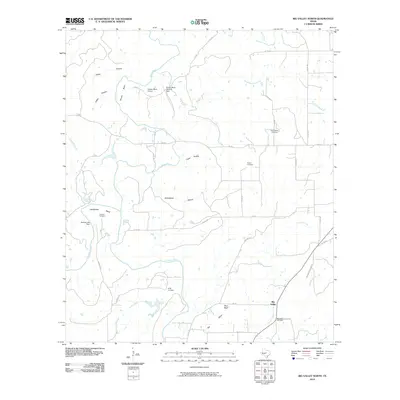 2010 Big Valley North2010 Print · USGSBig Valley and the surrounding Mills County ranch lands are captured here in the early twenty-first century. Genealogists and local historians can locate several rural burial sites, including Rock Spring Cemetery, Catclaw Cemetery, and the community of Big Valley.
 - 2010 Map of San Saba Peak, 2010 Print
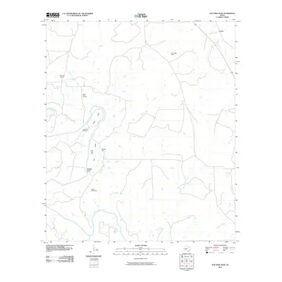 2010 San Saba Peak2010 Print · USGSTexas ranching country in Mills County appears in detail here during the early twenty-first century. Researchers can locate family landmarks like Nabors Creek Cemetery, the Double Ford river crossing, and the settlement of Castor.
 - 2010 Map of Regency, 2010 Print
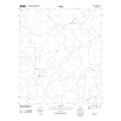 2010 Regency2010 Print · USGSThe Colorado River valley in Mills County is captured here in the early twenty-first century, centered on the crossing at Regency. Researchers can trace local heritage through sites like the Regency Suspension Bridge, Hollis Cemetery, and the community of Ratler.
 - 2010 Map of Hall, 2010 Print
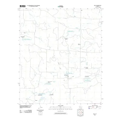 2010 Hall2010 Print · USGSThe rural landscapes of McCulloch County are captured here in the early twenty-first century, showcasing a region shaped by water conservation and ranching. Genealogists and local historians can trace family ties at Holt Cemetery and Cowboy Cemetery or explore the drainage of Richland Springs Creek.
 - 2010 Map of Blucher Mountain, 2010 Print
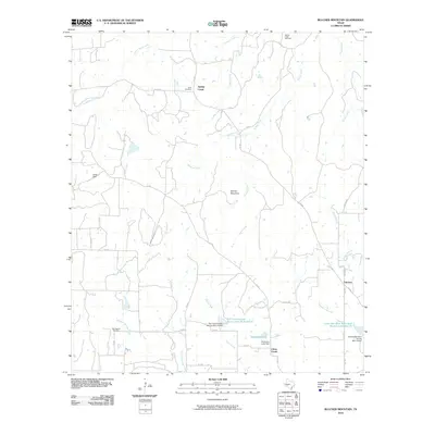 2010 Blucher Mountain2010 Print · USGSSan Saba County ranch lands and watercourses are documented here in the early twenty-first century. Genealogists can locate family burial sites at Spring Creek and Old Algerita Cemetery, while tracing local landmarks like Blucher Mountain.
 - 2010 Map of Richland Springs, 2010 Print
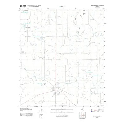 2010 Richland Springs2010 Print · USGSRichland Springs and the surrounding San Saba County ranchlands are documented here at the turn of the millennium. Local researchers can trace family plots at Richland Springs Cemetery or locate the community gathering point at Lakeview Community Hall.
 - 2010 Map of Elm Grove, 2010 Print
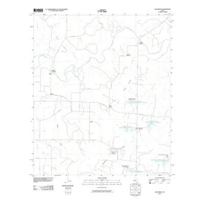 2010 Elm Grove2010 Print · USGSMcCulloch County ranch lands and river crossings are captured here in the early twenty-first century. Genealogists can locate family sites at Beasley Cemetery or McCarty Cemetery, while tracing historic paths across the Colorado River at Keys Crossing.
 - 2010 Map of Big Valley South, 2010 Print
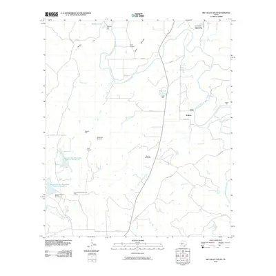 2010 Big Valley South2010 Print · USGSIn the Big Valley region during the early twenty-first century, this landscape shows the confluence of the Colorado River and its many tributaries. Genealogists can locate the McMillin Cemetery and Lower Valley Cemetery or trace landmarks like Wildhorse Mountain.
 - 2010 Map of Cherokee, 2010 Print
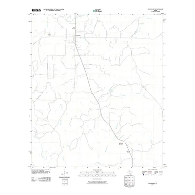 2010 Cherokee2010 Print · USGSIn the Texas Hill Country at the start of the 2010s, this area around Cherokee reveals a landscape of enduring rural traditions. Genealogists and local historians can trace family roots at Baby Head Cemetery or follow the waters of the Little Llano River and Wolf Creek.
 - 2010 Map of San Saba, 2010 Print
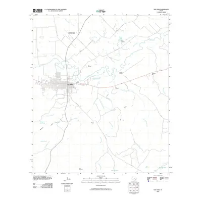 2010 San Saba2010 Print · USGSThe Pecan Capital of the World, San Saba, is captured here in the early twenty-first century as it sits along the San Saba River. Researchers can locate several rural family burial grounds like Linn Cemetery and Crawford Cemetery or trace the drainage of Simpson Creek.
 - 2010 Map of Tow, 2010 Print
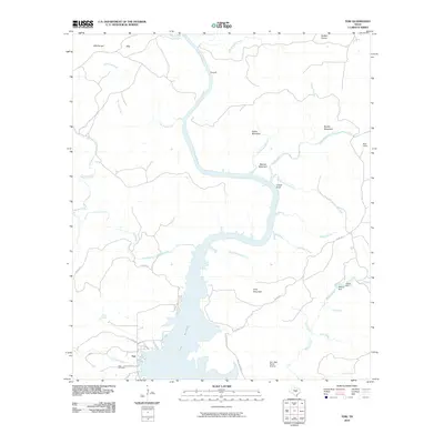 2010 Tow2010 Print · USGSLlano County's rugged shoreline and uplands are captured here in the decade following the turn of the millennium. Genealogists and local historians can trace the community of Tow, locate the Tow Cemetery, and find rural landmarks like Tanyard and Chism Bluff.
 - 2010 Map of Wolf Ridge, 2010 Print
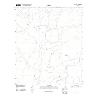 2010 Wolf Ridge2010 Print · USGSThe convergence of the San Saba and Colorado Rivers defines this Texas landscape in the early twenty-first century. Genealogists and local historians can trace legacy sites like Harris Cemetery, the site of Parks Mill, and river landmarks such as Red Bluff Crossing.
 - 2010 Map of Fredonia, 2010 Print
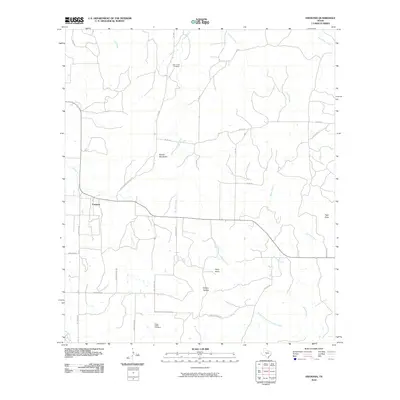 2010 Fredonia2010 Print · USGSFredonia and its surrounding ranchlands are captured here in the early twenty-first century as the community maintained its rural character. Genealogists and local historians can locate Deer Creek Cemetery, trace the path of Lost Creek, and identify landmarks like Hairy Knob.
 - 2010 Map of Gorman Falls, 2010 Print
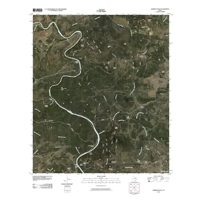 2010 Gorman Falls2010 Print · USGSThe Colorado River corridor in Burnet County is documented here during the early twenty-first century as a landscape of remote ranching and limestone breaks. Researchers can trace family-named sites such as Jackson Ranch and Vann Camp, or locate landmarks like Gorman Falls and the Southwest Ledge Quarries.
 - 2010 Map of Buffalo Knob, 2010 Print
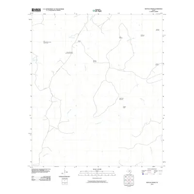 2010 Buffalo Knob2010 Print · USGSSan Saba County ranchlands are documented here in the early twenty-first century, showing the essential water and road networks of the Texas Hill Country. Researchers can locate specific family-named landmarks and infrastructure such as Nored Ranch, Behmes Windmill, and Buffalo Knob.
 - 2010 Map of Pontotoc, 2010 Print
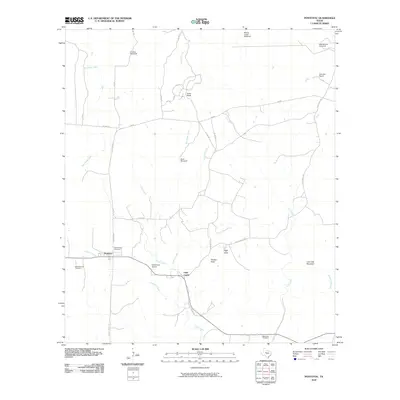 2010 Pontotoc2010 Print · USGSLlano County ranching country is documented here during the first decade of the 2000s, showing a landscape defined by seasonal creeks and historic homesteads. Genealogists can trace family footprints through the Old Pontotoc Cemetery, Hutchinson School, and Nine-Bar Ranch.
 - 2010 Map of Indian Hills, 2010 Print
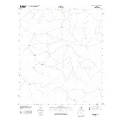 2010 Indian Hills2010 Print · USGSLlano County ranching and rural infrastructure are on display in this 2010 survey of the Texas Hill Country. Genealogists and local historians can trace family-named landmarks and essential water sources like Javelina Windmill, Marley Peaks, and the Little Llano River.
 - 2010 Map of Bear Hollow, 2010 Print
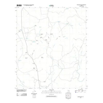 2010 Bear Hollow2010 Print · USGSSan Saba County ranching country is documented here in the early 21st century, showing the intricate water and road systems of the Flying V Ranch. Researchers can locate the Montgomery Cemetery and trace land features like Horse Mountain and York Flat.
 - 2010 Map of Magill Mountain, 2010 Print
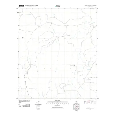 2010 Magill Mountain2010 Print · USGSLlano County's high ground and seasonal creeks are detailed here during the first decade of the millennium. Researchers can trace family history at Gray Cemetery or locate old water sources like Hext Spring and landmarks like Potter Flats.
 - 2010 Map of Pecan Springs, 2010 Print
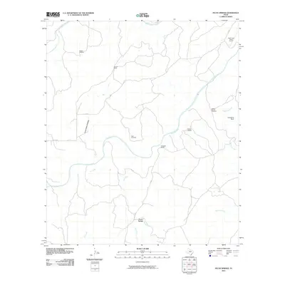 2010 Pecan Springs2010 Print · USGSSan Saba County ranching country is captured here in the early twenty-first century, showcasing a landscape of river bends and working cattle lands. Genealogists and researchers can locate family-named landmarks like Sorrell Ranch and Campbell Ranch or trace the San Saba River to Horseshoe Bend.
 - 2010 Map of Algerita, 2010 Print
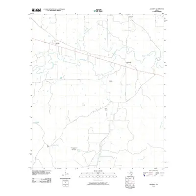 2010 Algerita2010 Print · USGSSan Saba County ranch lands and river crossings are documented here in the early twenty-first century. Genealogists and local historians can locate family burial sites at China Creek Cemetery or trace the lands around Algerita and Ellis Ranch.
 - 2010 Map of Baker Spring, 2010 Print
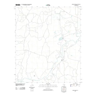 2010 Baker Spring2010 Print · USGSSan Saba County ranchlands are captured here in the early 2000s, centered on the river and the rural settlement of Sloan. Genealogists and local historians can trace family ties at Ellis Cemetery or locate landmarks like Baker Spring and the Sloan Sisters Ranch.
 - 2010 Map of Brady Mountain, 2010 Print
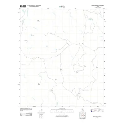 2010 Brady Mountain2010 Print · USGSSan Saba County ranchlands are documented in the early 2000s, showcasing a landscape defined by cattle operations and vital water sources. Researchers can trace established holdings like Pool Ranch and remote landmarks such as High Lonesome Windmill or Thousand Dollar Tank.
 - 2010 Map of Lost Creek, 2010 Print
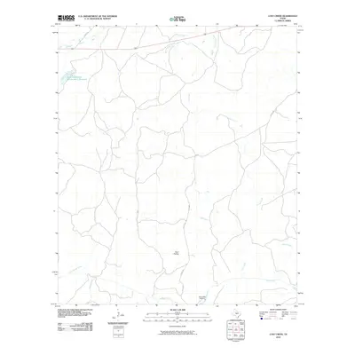 2010 Lost Creek2010 Print · USGSMcCulloch County, Texas, is mapped here during the early 2000s, showing a rural landscape defined by its ranch roads and creek systems. Researchers can trace the grounds of Camp Billy Gibbons or locate the Soil Conservation Service Site 1 Reservoir along Richland Springs Creek.
 - 2010 Map of Bend, 2010 Print
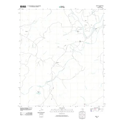 2010 Bend2010 Print · USGSThe Colorado River loops through San Saba County in the early twenty-first century, a landscape of ranching outposts and quiet creek valleys. Researchers can trace rural lineages at the Rough Creek Cemetery or locate the small settlements of Chappel and Bend.
Showing maps 1-25 of 104
Top cities of San Saba County
Frequently asked questions
- What are the different types of historical maps available for San Saba County?
- What is the oldest map of San Saba County?
- Where can I purchase historical maps of San Saba County for my home or office?
- Where can I download high-res historical maps of San Saba County?
- Are there historical topographic maps available for San Saba County?
- Is there historical aerial imagery available for San Saba County?
- Where are historical maps of San Saba County sourced from?