2020s Maps of Zapata County, Texas
Explore 29 historic maps of Zapata County from the 2020s. These maps offer a rare glimpse into what life looked like during the 2020s — showing old roads, neighborhoods, homes, and landmarks that have changed or disappeared over time.
Whether you're researching your family's past, planning a metal detecting trip, or studying how Zapata County's landscape evolved across the 2020s, these high-resolution maps are a powerful tool for exploring the history of this region.
- Focus on a specific era: All maps on this page are from the 2020s, giving you a focused view of this time period.
- See what’s changed: Compare century-old streets, trails, and buildings to today's modern landscape using overlays and satellite layers.
- Research with precision: Use these maps for genealogy, historical research, land use analysis, or educational projects.
- View, download, or print: Maps are fully viewable online in high resolution, and can be downloaded or printed for your own records.
Start exploring Zapata County's history through authentic maps from the 2020s. This is your window into the past.
Zapata County, TX maps
(29)- 2022 Map of Arroyo Miguel, 2022 Print
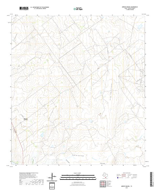 2022 Arroyo Miguel2022 Print · USGSZapata County ranchlands and arroyos are documented here in the early twenty-first century as the landscape balances ranching and energy. Researchers can trace the drainage of Arroyo del Tigre Grande or locate the settlement of Morales-Sanchez and the Charco Redondo Spring.
 - 2022 Map of Cuevitas SW, 2022 Print
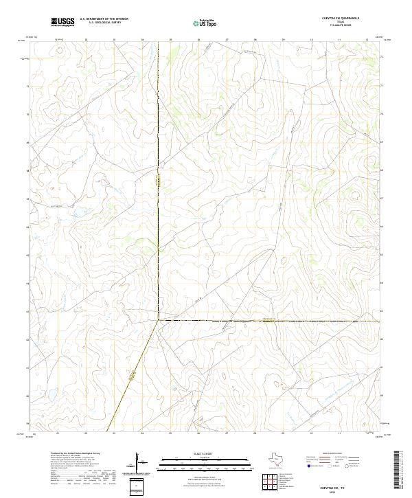 2022 Cuevitas SW2022 Print · USGSThe intersection of Jim Hogg, Zapata, and Starr Counties in the early 2020s reveals a landscape shaped by ranching and seasonal waterways. Researchers can trace the paths of San Juan Cr and Chico Cr alongside local routes like El Tecolote Ranch Rd and Loma Blanca Rd.
 - 2022 Map of Las Escobas Ranch, 2022 Print
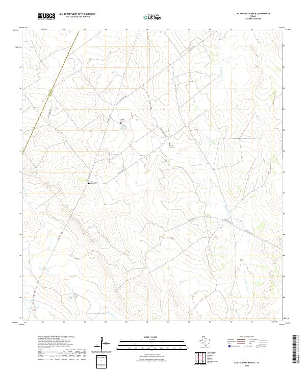 2022 Las Escobas Ranch2022 Print · USGSThe ranchlands of Starr and Zapata County are captured here in the early twenty-first century, showing the enduring rural layout of South Texas. Researchers can locate remote family burial sites like Agua Dulce Cem and Una De Gato Cem tucked along routes such as San Roman Rd.
 - 2022 Map of Arroyo Huisache, 2022 Print
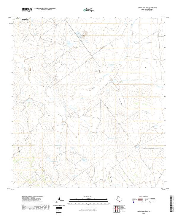 2022 Arroyo Huisache2022 Print · USGSZapata County ranchlands are documented here in the early twenty-first century, showing a landscape defined by water management and family-named roads. Trace the history of the Bustamante settlement and its nearby Bustamante Cem, or locate livestock landmarks like Lobitas Tank and Beulah Tank.
 - 2022 Map of Guerra, 2022 Print
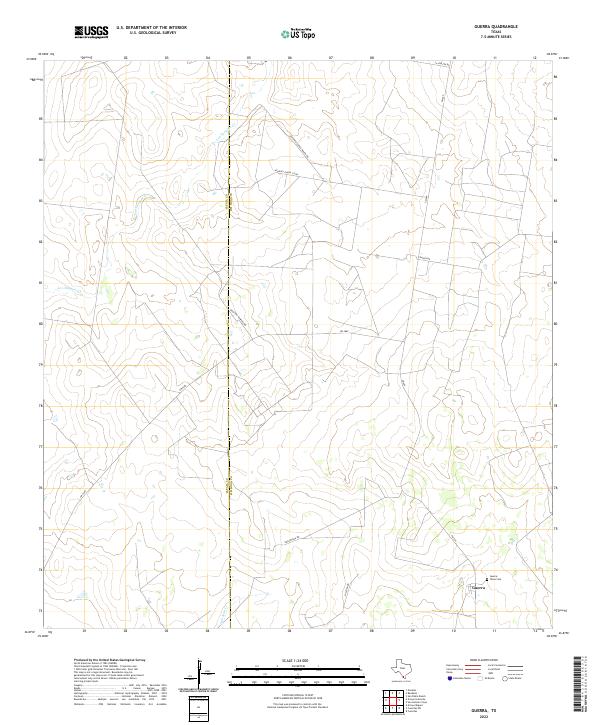 2022 Guerra2022 Print · USGSThe ranchlands of Jim Hogg and Zapata counties remain centered on the small community of Guerra in this recent survey. Researchers can trace family-named routes like Orlando Ramirez Rd and locate the local Guerra Texas Cem.
 - 2022 Map of Escobas, 2022 Print
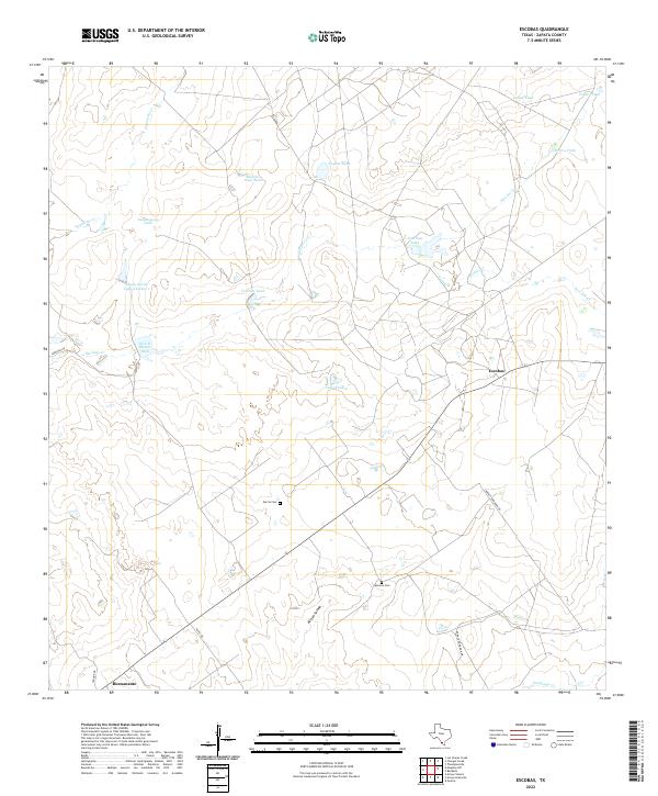 2022 Escobas2022 Print · USGSThe ranchlands of Zapata County come into focus in this recent survey of the South Texas brush country. Researchers can trace local lineage at Garcia Cem and locate rural hubs like Escobas and Bustamante among a network of historic livestock tanks.
 - 2022 Map of Lopeno, 2022 Print
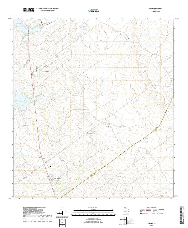 2022 Lopeno2022 Print · USGSZapata County ranching and reservoir life are captured here in the early 2020s, showing the modern layout of borderland settlements. Genealogists can locate New Lopeño Cem and Falcon Cem, while tracking water features like Beckwith Arm and Mexia Cr.
 - 2022 Map of Albercas Ranch, 2022 Print
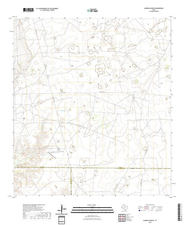 2022 Albercas Ranch2022 Print · USGSSouth Texas ranch land at the meeting point of Webb, Zapata, and Jim Hogg counties is documented in this modern survey. Researchers can trace land use through features like the Jacalon Ranch Airport and the historic Albercas de San Felipe Spring.
 - 2022 Map of Agua Azul Creek East, 2022 Print
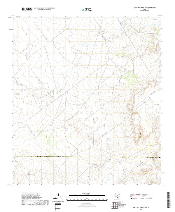 2022 Agua Azul Creek East2022 Print · USGSThe South Texas brush country along the Webb and Zapata county line is captured here in the early twenty-first century. Researchers can trace the ranching landscape through the paths of Agua Azul Cr, Albercas Cr, and Ranch Rd 8010B.
 - 2022 Map of Las Ovejas Creek, 2022 Print
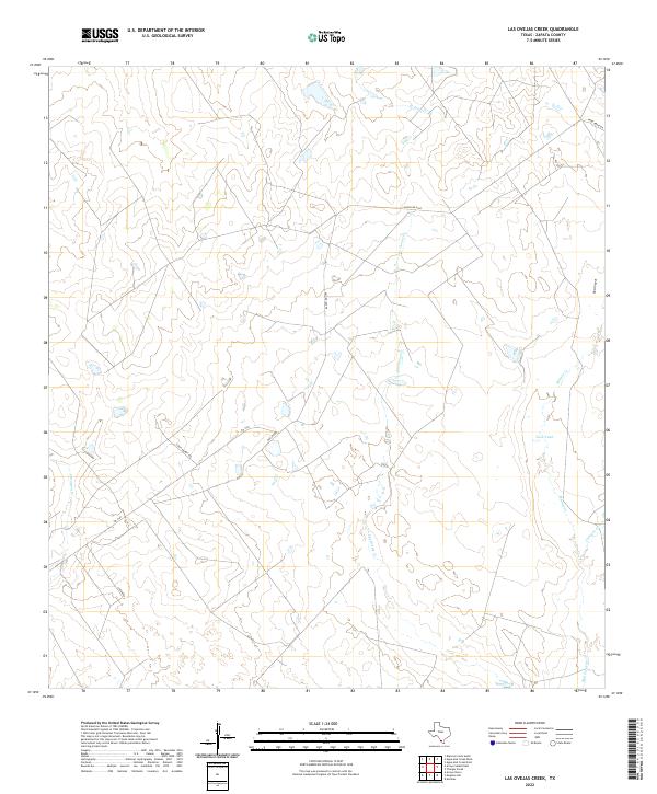 2022 Las Ovejas Creek2022 Print · USGSZapata County ranchlands and seasonal creek beds are mapped here in the early twenty-first century. Researchers can trace rural property access via Fred Bruni Rd and Louis Munoz Rd, or locate water features like Tasa Tank and Las Ovejas Cr.
 - 2022 Map of Mogotes Hill, 2022 Print
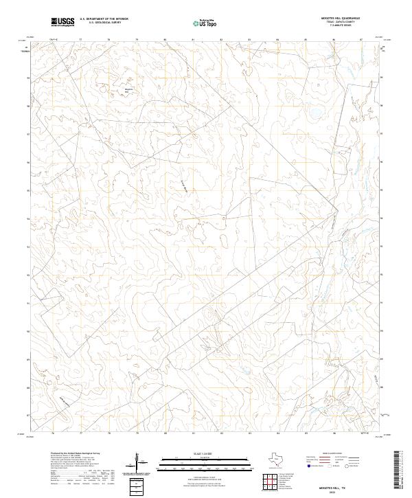 2022 Mogotes Hill2022 Print · USGSZapata County ranching country is documented here in the early twenty-first century, showing the enduring boundaries of regional land holdings. Trace family-named landmarks and watercourses like Jennings Ranch Rd, Mogotes Hill, and Salómoneno Cr.
 - 2022 Map of Arroyo Salado East, 2022 Print
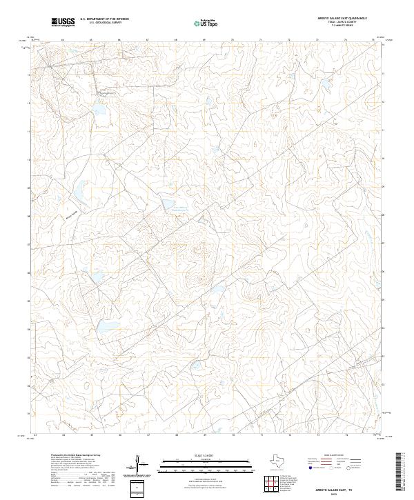 2022 Arroyo Salado East2022 Print · USGSSouth Texas ranch country in Zapata County comes into focus in this recent survey of its working landscape. Researchers can trace rural routes like FM 3169 and locate remote water sources such as Jesse McNeel Lake Number 4 and Arroyo Salado.
 - 2022 Map of Beckwith Arm, 2022 Print
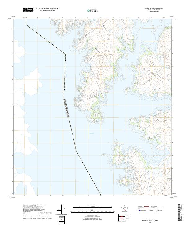 2022 Beckwith Arm2022 Print · USGSZapata County's waterfront comes into sharp focus during the 2020s, showing the complex interaction of the border and the reservoir. Researchers can trace the submerged Rio Grande and explore the inlets of Beckwith Arm, Juan Vela Lake, and Arroyo Loma Blanca.
 - 2022 Map of Arroyo Clareno, 2022 Print
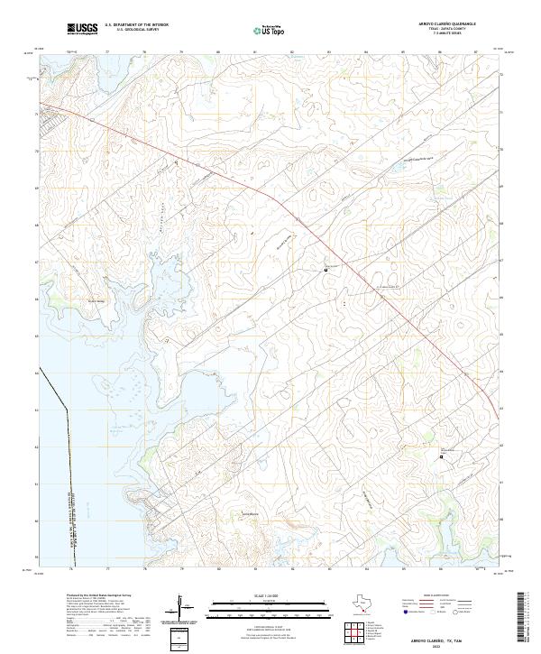 2022 Arroyo Clareno2022 Print · USGSZapata County ranchlands meet the international border at the edge of the Rio Grande in the early 2020s. Genealogists and local historians can locate remote family sites like Garcia Cem and Los Alejandrenas Cem or trace the drainage paths of Arroyo Clareño.
 - 2022 Map of Arroyo Veleno, 2022 Print
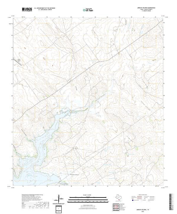 2022 Arroyo Veleno2022 Print · USGSZapata County's ranching and reservoir landscape is captured here during the 2020s. Researchers can trace the extensive network of South Texas arroyos and water management features like Arroyo Cabeza de Vaca, Zapata County Airport, and Falcon Reservoir.
 - 2022 Map of Salineno, 2022 Print
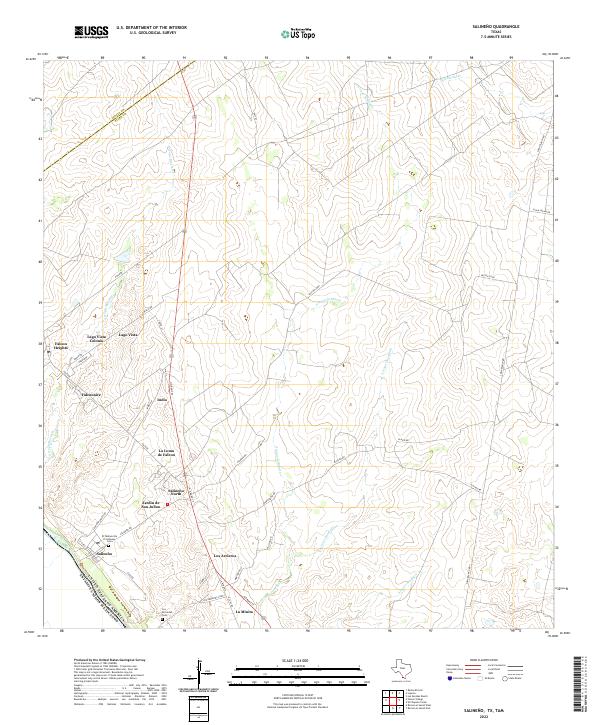 2022 Salineno2022 Print · USGSThe South Texas borderlands near the Rio Grande appear in this recent survey, showing the residential layout of Starr County. Genealogists can trace family sites at El Panteon De El Salineno Cem, Los Arrieros, and Falcon Heights.
 - 2022 Map of Falcon Village, 2022 Print
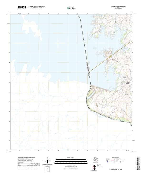 2022 Falcon Village2022 Print · USGSIn the brush country of South Texas, this survey documents the international border and the infrastructure of the Rio Grande. Researchers can trace the developed landscape of Falcon Village, the isolated settlement of Los Lobos, and the shoreline of Government Cove.
 - 2022 Map of Zapata, 2022 Print
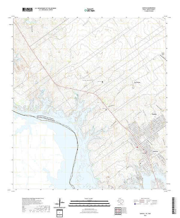 2022 Zapata2022 Print · USGSThe South Texas borderlands near the Rio Grande are captured here during the early twenty-first century. Genealogists can locate family landmarks like Zapata Cem or Uribeno Cem while tracing the street grids of Zapata and Medina.
 - 2022 Map of Zapata SE, 2022 Print
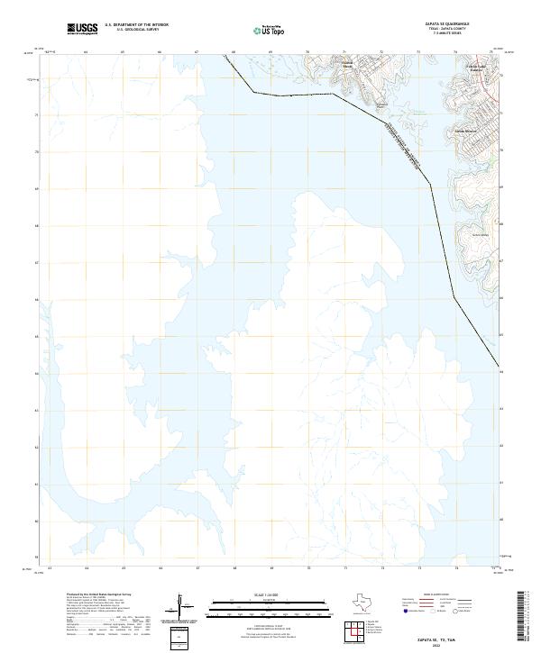 2022 Zapata SE2022 Print · USGSThe eastern banks of the Falcon Reservoir are shown in detail as they appeared recently. Genealogists and local historians can trace modern residential growth in Falcon Lake Estates, Siesta Shores, and Falcon Mesa.
 - 2022 Map of Zapata NW, 2022 Print
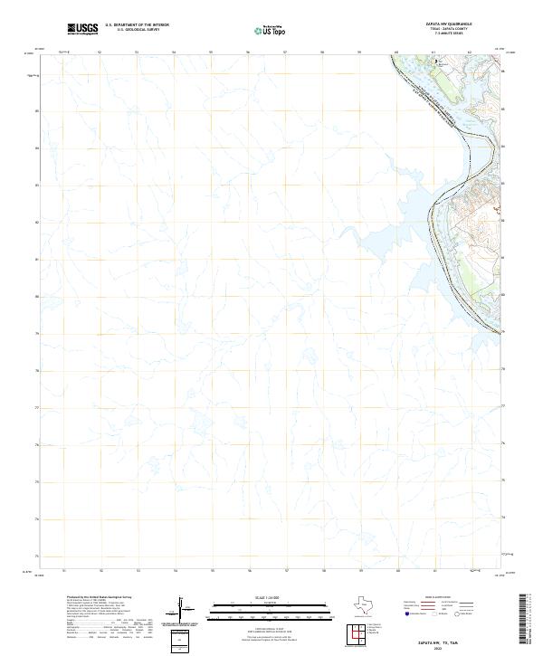 2022 Zapata NW2022 Print · USGSZapata County at the border with Mexico is shown in this modern survey, where the international boundary follows the path of the Rio Grande. Local researchers can locate family sites such as the Old Ramireno Cem on the shores of the Falcon Reservoir.
 - 2022 Map of Randado, 2022 Print
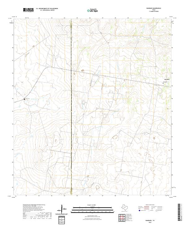 2022 Randado2022 Print · USGSThe ranching country of Jim Hogg and Zapata counties is captured here in the early twenty-first century. Genealogists can trace local heritage at Randado Cem and Escobas Cem, or follow the winding courses of Los Tanques Cr and Escobas Cr.
 - 2022 Map of Thompsonville, 2022 Print
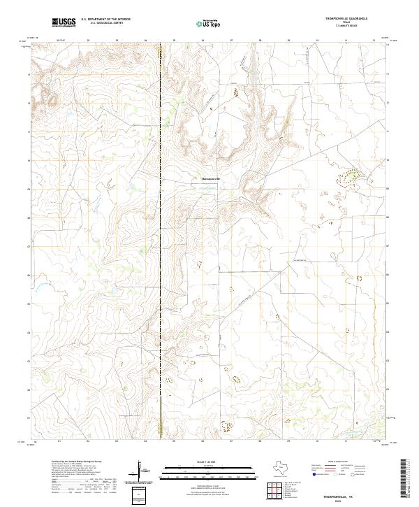 2022 Thompsonville2022 Print · USGSThe ranchlands of Jim Hogg and Zapata Counties are captured here in the early 2020s, centered on the Thompsonville settlement. Researchers can trace the layout of family estates and water courses like Arroyo Grande along Peyote Ranch Rd and La Pita Ranch Rd.
 - 2022 Map of San Ygnacio, 2022 Print
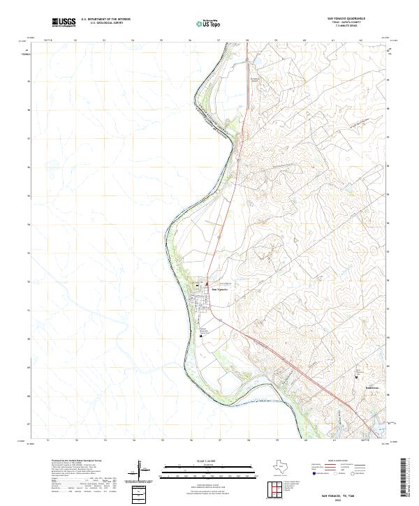 2022 San Ygnacio2022 Print · USGSThe Rio Grande borderlands in Zapata County come into focus here, showing the enduring riverfront settlements of the early twenty-first century. Genealogists can trace family landmarks like the Uribe Cem, Ramireno, and the Manuel Benavides Garcia Cem.
 - 2022 Map of Arroyo Burro, 2022 Print
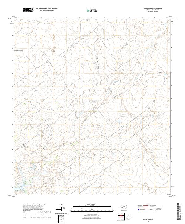 2022 Arroyo Burro2022 Print · USGSZapata County ranch lands and arroyos are captured here in the early twenty-first century as they drain toward the Rio Grande. Trace the intricate hydrology of the brush country through Arroyo Burro, the Refugio Ramirez Tank, and the shores of Falcon Reservoir.
 - 2022 Map of Arroyo Salado West, 2022 Print
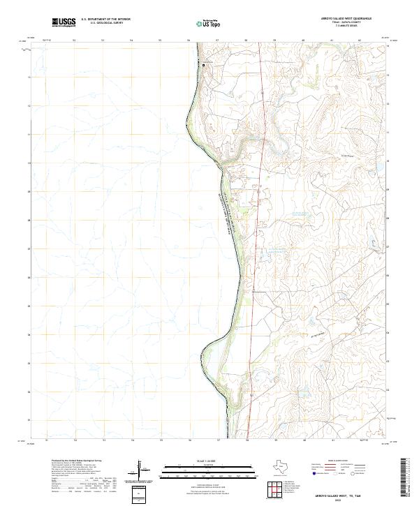 2022 Arroyo Salado West2022 Print · USGSThe international borderlands of Zapata County appear here in the early 2020s, dominated by the winding path of the Rio Grande. Local researchers can locate Dolores Cem and trace the complex drainage networks of Arroyo Salado and Arroyo Dolores.
Showing maps 1-25 of 29
Top cities of Zapata County
Frequently asked questions
- What are the different types of historical maps available for Zapata County?
- What is the oldest map of Zapata County?
- Where can I purchase historical maps of Zapata County for my home or office?
- Where can I download high-res historical maps of Zapata County?
- Are there historical topographic maps available for Zapata County?
- Is there historical aerial imagery available for Zapata County?
- Where are historical maps of Zapata County sourced from?