2000s (21st Century) Maps of Zapata County, Texas
Explore 145 historic maps of Zapata County from the 2000s (21st Century). These maps offer a rare glimpse into what life looked like during the 2000s — showing old roads, neighborhoods, homes, and landmarks that have changed or disappeared over time.
Whether you're researching your family's past, planning a metal detecting trip, or studying how Zapata County's landscape evolved across the 2000s, these high-resolution maps are a powerful tool for exploring the history of this region.
- Focus on a specific era: All maps on this page are from the 2000s, giving you a focused view of this time period.
- See what’s changed: Compare century-old streets, trails, and buildings to today's modern landscape using overlays and satellite layers.
- Research with precision: Use these maps for genealogy, historical research, land use analysis, or educational projects.
- View, download, or print: Maps are fully viewable online in high resolution, and can be downloaded or printed for your own records.
Start exploring Zapata County's history through authentic maps from the 2000s. This is your window into the past.
Zapata County, TX maps
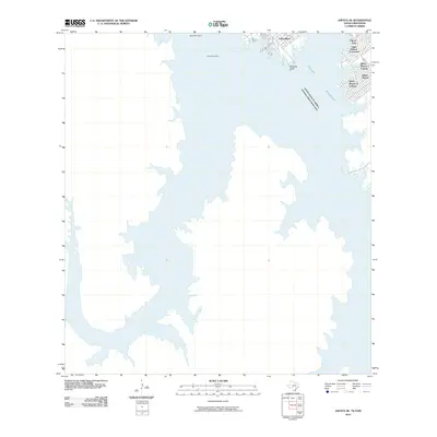
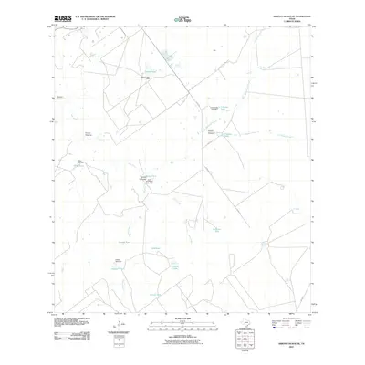
(145)- 2010 Map of Zapata NW, 2010 Print
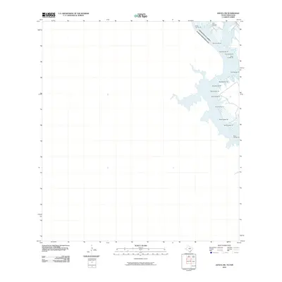 2010 Zapata NW2010 Print · USGSCovers Zapata County, including Guerrero, United States, and other nearby areas
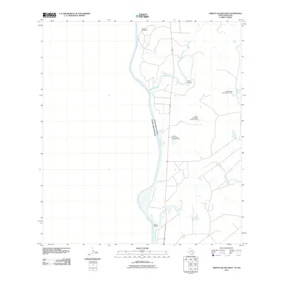
 - 2010 Map of Arroyo Clareno, 2010 Print
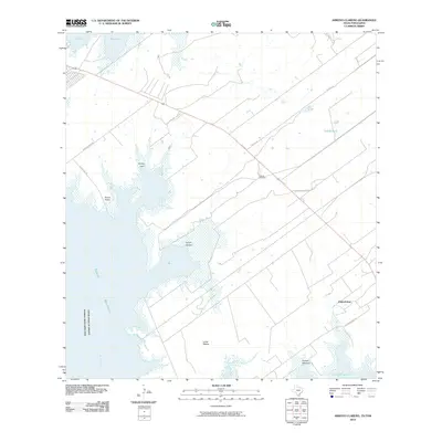 2010 Arroyo Clareno2010 Print · USGSCovers Zapata County, including Alejandrenas, Guerrero, and other nearby areas
 - 2010 Map of Arroyo Veleno, 2010 Print
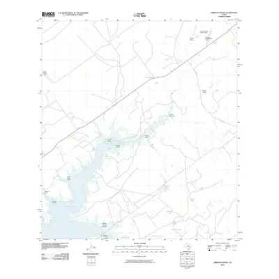 2010 Arroyo Veleno2010 Print · USGSCovers Zapata County, including United States, Texas, and other nearby areas
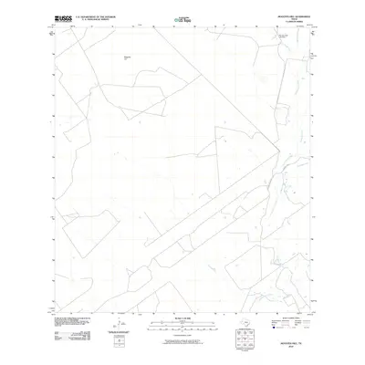
 - 2010 Map of Blancas Creek South, 2010 Print
 2010 Blancas Creek South2010 Print · USGSCovers Zapata County, including Webb County, United States, and other nearby areas
 - 2010 Map of Mogotes Hill, 2010 Print
 2010 Mogotes Hill2010 Print · USGSCovers Zapata County, including United States, Texas, and other nearby areas
 - 2010 Map of Zapata SE, 2010 Print
 2010 Zapata SE2010 Print · USGSCovers Zapata County, including Four Seasons Colonia, Guerrero Viejo, and other nearby areas
 - 2010 Map of Agua Azul Creek West, 2010 Print
 2010 Agua Azul Creek West2010 Print · USGSCovers Zapata County, including Webb County, United States, and other nearby areas
 - 2010 Map of San Ygnacio, 2010 Print
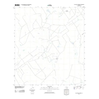
 2010 San Ygnacio2010 Print · USGSCovers Zapata County, including San Ignacio, San Ygnacio, and other nearby areas
 - 2010 Map of Las Ovejas Creek, 2010 Print
 2010 Las Ovejas Creek2010 Print · USGSCovers Zapata County, including United States, Texas, and other nearby areas
 - 2010 Map of Arroyo Salado East, 2010 Print
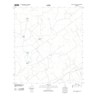 2010 Arroyo Salado East2010 Print · USGSCovers Zapata County, including United States, Texas, and other nearby areas
 - 2010 Map of Beckwith Arm, 2010 Print
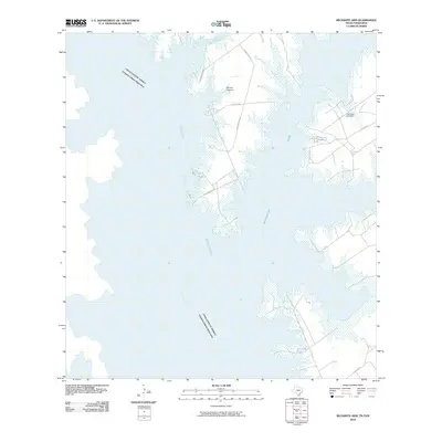 2010 Beckwith Arm2010 Print · USGSCovers Zapata County, including Guerrero, United States, and other nearby areas
 - 2010 Map of Falcon Village, 2010 Print
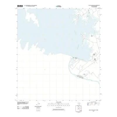 2010 Falcon Village2010 Print · USGSCovers Zapata County, including Nueva Ciudad Guerrero, H Cuellar Estates Colonia, and other nearby areas
 - 2010 Map of Zapata, 2010 Print
 2010 Zapata2010 Print · USGSCovers Zapata County, including Zapata, Cuellar Colonia, and other nearby areas
 - 2010 Map of Randado, 2010 Print
 2010 Randado2010 Print · USGSCovers Zapata County, including Jim Hogg County, United States, and other nearby areas
 - 2010 Map of Chargos Creek, 2010 Print
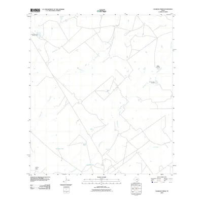 2010 Chargos Creek2010 Print · USGSCovers Zapata County, including United States, Texas, and other nearby areas
 - 2010 Map of Agua Azul Creek East, 2010 Print
 2010 Agua Azul Creek East2010 Print · USGSCovers Zapata County, including Webb County, United States, and other nearby areas
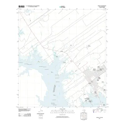
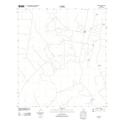
 - 2010 Map of Escobas, 2010 Print
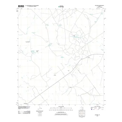 2010 Escobas2010 Print · USGSCovers Zapata County, including Escobas, Bustamante, and other nearby areas
 - 2010 Map of Thompsonville, 2010 Print
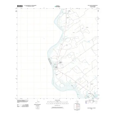
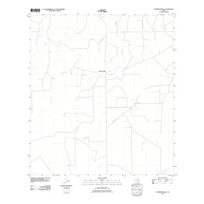 2010 Thompsonville2010 Print · USGSCovers Zapata County, including Jim Hogg County, United States, and other nearby areas
 - 2010 Map of Arroyo Miguel, 2010 Print
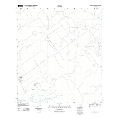 2010 Arroyo Miguel2010 Print · USGSCovers Zapata County, including Morales - Sanchez Colonia, United States, and other nearby areas
 - 2010 Map of Arroyo Huisache, 2010 Print
 2010 Arroyo Huisache2010 Print · USGSCovers Zapata County, including United States, Texas, and other nearby areas
 - 2010 Map of Arroyo Burro, 2010 Print
 2010 Arroyo Burro2010 Print · USGSCovers Zapata County, including United States, Texas, and other nearby areas
 - 2010 Map of Albercas Ranch, 2010 Print
 2010 Albercas Ranch2010 Print · USGSCovers Zapata County, including Webb County, Jim Hogg County, and other nearby areas
 - 2010 Map of Arroyo Salado West, 2010 Print
 2010 Arroyo Salado West2010 Print · USGSCovers Zapata County, including Guerrero, United States, and other nearby areas
 - 2010 Map of O'Keefe Lake, 2010 Print
 2010 O'Keefe Lake2010 Print · USGSCovers Zapata County, including Laredo, Rio Bravo, and other nearby areas
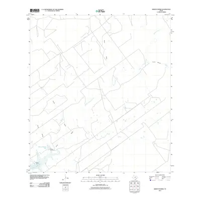
 - 2010 Map of Guerra, 2010 Print
 2010 Guerra2010 Print · USGSCovers Zapata County, including Guerra, Jim Hogg County, and other nearby areas
Showing maps 1-25 of 145
Top cities of Zapata County
Frequently asked questions
- What are the different types of historical maps available for Zapata County?
- What is the oldest map of Zapata County?
- Where can I purchase historical maps of Zapata County for my home or office?
- Where can I download high-res historical maps of Zapata County?
- Are there historical topographic maps available for Zapata County?
- Is there historical aerial imagery available for Zapata County?
- Where are historical maps of Zapata County sourced from?