2010s Maps of Zapata County, Texas
Explore 116 historic maps of Zapata County from the 2010s. These maps offer a rare glimpse into what life looked like during the 2010s — showing old roads, neighborhoods, homes, and landmarks that have changed or disappeared over time.
Whether you're researching your family's past, planning a metal detecting trip, or studying how Zapata County's landscape evolved across the 2010s, these high-resolution maps are a powerful tool for exploring the history of this region.
- Focus on a specific era: All maps on this page are from the 2010s, giving you a focused view of this time period.
- See what’s changed: Compare century-old streets, trails, and buildings to today's modern landscape using overlays and satellite layers.
- Research with precision: Use these maps for genealogy, historical research, land use analysis, or educational projects.
- View, download, or print: Maps are fully viewable online in high resolution, and can be downloaded or printed for your own records.
Start exploring Zapata County's history through authentic maps from the 2010s. This is your window into the past.
Zapata County, TX maps
(116)- 2010 Map of Zapata NW, 2010 Print
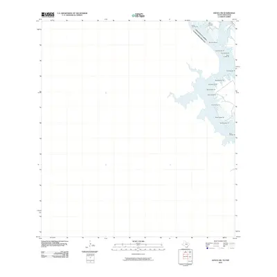 2010 Zapata NW2010 Print · USGSThe Texas-Mexico borderlands are captured here in the early twenty-first century as Falcon Reservoir defines the landscape. Researchers can locate the Old Raotireno Cemetery and trace the international boundary along the Rio Grande.
 - 2010 Map of Arroyo Clareno, 2010 Print
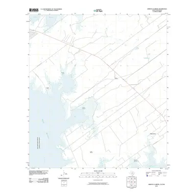 2010 Arroyo Clareno2010 Print · USGSThe South Texas borderlands near the Rio Grande appear here in the early twenty-first century as the Falcon Reservoir reshapes the landscape. Researchers can trace rural lineages at the Garcia Cemetery or locate local settlements like Green Valley and Alejandrenas.
 - 2010 Map of Arroyo Veleno, 2010 Print
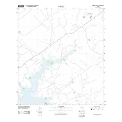 2010 Arroyo Veleno2010 Print · USGSZapata County ranchlands and the inlets of the Rio Grande are captured here in the first decade of the new millennium. Researchers can trace the intricate shoreline of Falcon Reservoir and locate local landmarks like Zapata County Airport and Ranchito Tank.
 - 2010 Map of Blancas Creek South, 2010 Print
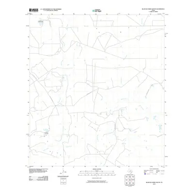 2010 Blancas Creek South2010 Print · USGSWebb County ranch land and brush country are captured here during the first decade of the millennium. Researchers can trace rural water management and property access via Mangana-Hein Rd, Hubbard Lake Number 2 Dam, and Dolores Creek.
 - 2010 Map of Mogotes Hill, 2010 Print
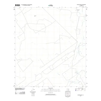 2010 Mogotes Hill2010 Print · USGSZapata County ranchlands are documented here in the early twenty-first century, showing a remote landscape shaped by water and wire. Genealogists and land historians can trace rural infrastructure near Mogotes Hill and the Roy Jennings Lake Dam.
 - 2010 Map of Zapata SE, 2010 Print
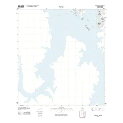 2010 Zapata SE2010 Print · USGSThe Texas-Mexico borderlands along the Rio Grande are shown here during a period of established residential development along the Falcon Reservoir. Genealogists and researchers can trace the layouts of regional colonias including Siesta Shores and Lago Halcon A Colonia.
 - 2010 Map of Agua Azul Creek West, 2010 Print
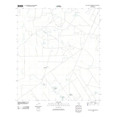 2010 Agua Azul Creek West2010 Print · USGSWebb County ranch lands are shown in detail here during the early twenty-first century, highlighting essential water infrastructure. Researchers can trace the drainage patterns of Agua Azul Creek and locate historical ranching sites like Los Lasos Tank and the Rhodes Lake Dam.
 - 2010 Map of San Ygnacio, 2010 Print
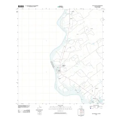 2010 San Ygnacio2010 Print · USGSThe Texas-Mexico borderlands come into focus in the early 2010s, centered on the riverfront community of San Ygnacio. Genealogists and local historians can trace family roots at the Uribe Cemetery and Cementerio del Pueblo or follow the shoreline of the Falcon Reservoir.
 - 2010 Map of Las Ovejas Creek, 2010 Print
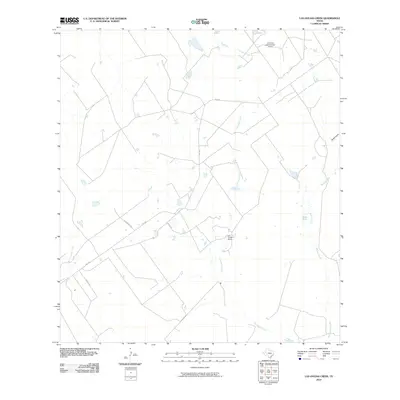 2010 Las Ovejas Creek2010 Print · USGSZapata County ranchlands are documented here at the turn of the decade, showing the intricate water systems and family-named roads of the South Texas brush country. Researchers can locate Las Ovejas Ranch, trace the path of Las Ovejas Creek, and find the Garza Ests development.
 - 2010 Map of Arroyo Salado East, 2010 Print
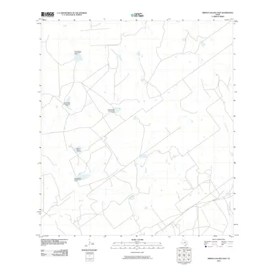 2010 Arroyo Salado East2010 Print · USGSZapata County ranch lands appear in the early 2000s as a network of managed water sources and rural roads. Researchers can trace land management at the Mecom Ranch or follow the series of reservoirs at Jesse McNeel Lake Number 5 Dam.
 - 2010 Map of Beckwith Arm, 2010 Print
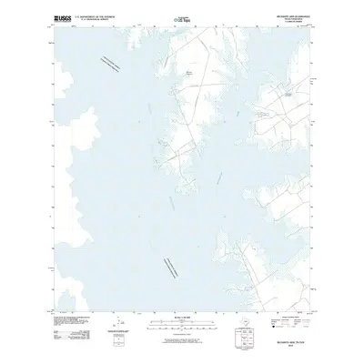 2010 Beckwith Arm2010 Print · USGSThe Texas-Mexico border is defined by the expanse of Falcon Reservoir and the winding Rio Grande channel in the early twenty-first century. Researchers can trace the rugged shoreline and rural ranch roads like Alejandrenas Rd and Cox Camp Rd.
 - 2010 Map of Falcon Village, 2010 Print
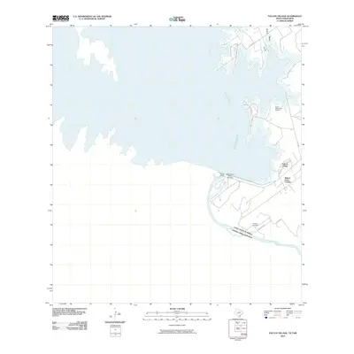 2010 Falcon Village2010 Print · USGSThe Texas-Mexico border is defined by massive water works at the turn of the decade as the Rio Grande feeds the Falcon Reservoir. Researchers can trace local settlements like Falcon Village and Miguel Garza Colonia or locate the Chapeno Cemetery.
 - 2010 Map of Zapata, 2010 Print
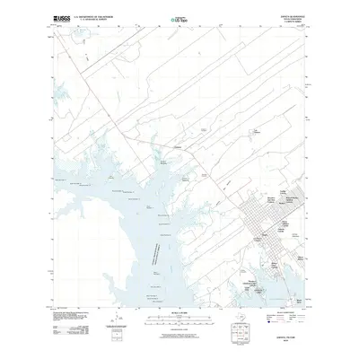 2010 Zapata2010 Print · USGSThe South Texas borderlands near the Rio Grande appear here as the community of Zapata expands along the Falcon Reservoir. Genealogists and historians can locate numerous family-named colonias and older landmarks like Old Uribazo and the Urebeno Cemetery.
 - 2010 Map of Randado, 2010 Print
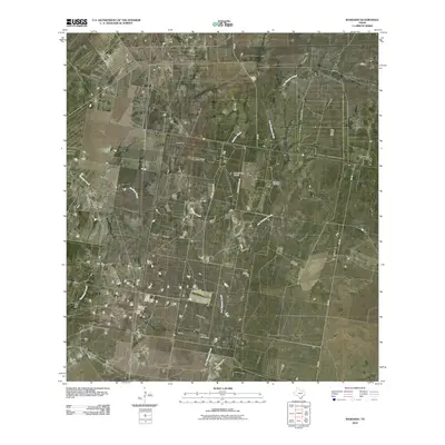 2010 Randado2010 Print · USGSZapata County ranchlands and energy resources are on display in this 2010 study of the South Texas brush country. Researchers can trace the layout of Randado, Escobas Ranch, and local landmarks like the Zachry Ranch Airport and Randado Oil Field.
 - 2010 Map of Chargos Creek, 2010 Print
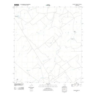 2010 Chargos Creek2010 Print · USGSZapata County ranchlands are documented here in the early twenty-first century, showing a landscape focused on water management and private aviation. Researchers can trace land use through features like the Jennings Ranch Airport and various livestock reservoirs including Rodriguez Tank and Llano Tank.
 - 2010 Map of Agua Azul Creek East, 2010 Print
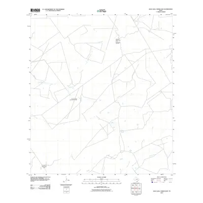 2010 Agua Azul Creek East2010 Print · USGSWebb County ranch lands in the early 21st century are defined here by a network of cattle tanks and intermittent streams. Genealogists and local historians can trace family-named landmarks like the Fred M Bruni Lake Number 1 Dam and Vaquillas Ranch Lake Number 4 Dam.
 - 2010 Map of Escobas, 2010 Print
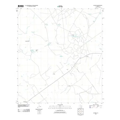 2010 Escobas2010 Print · USGSZapata County ranchlands are documented here in the early twenty-first century, showing a landscape shaped by water management and rural roads. Researchers can locate family landmarks such as Gracia Cemetery and Bustamante or trace the drainage of Escobas Creek.
 - 2010 Map of Thompsonville, 2010 Print
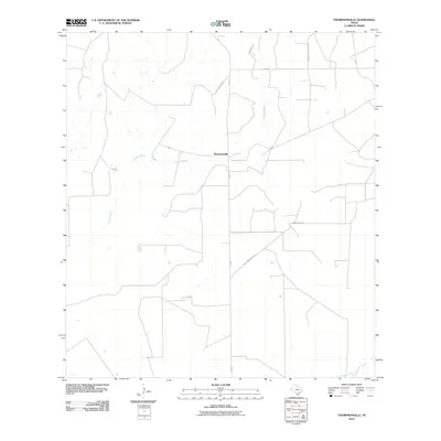 2010 Thompsonville2010 Print · USGSThe ranching country of Zapata County comes into focus at the start of the 2010s, centered on the small settlement of Thompsonville. Genealogists and local historians can trace legacy family routes like La Pita Ranch Rd and Aa Martinez Rd near the drainage of Arroyo Grande.
 - 2010 Map of Arroyo Miguel, 2010 Print
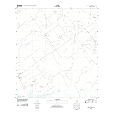 2010 Arroyo Miguel2010 Print · USGSZapata County's brush country appears in the early twenty-first century as a landscape of remote ranching outposts and vital water infrastructure. Researchers can trace the layout of Morales - Sanchez Colonia or locate livestock landmarks like Chihuahua Farm and Lopez Lake Dam.
 - 2010 Map of Arroyo Huisache, 2010 Print
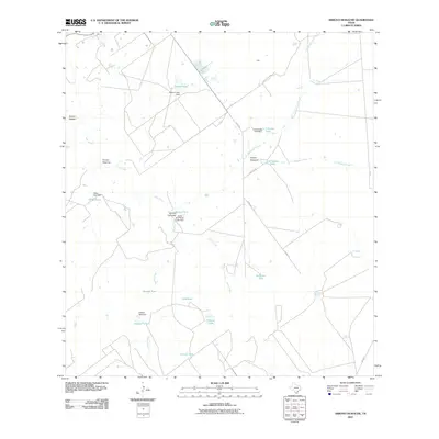 2010 Arroyo Huisache2010 Print · USGSZapata County ranching country is mapped here during the early twenty-first century, showing the critical water infrastructure of the South Texas brush. Researchers can trace land use through named features like Arroyo Carizales, Lobitas Tank, and the Vidaurri Lake Dam.
 - 2010 Map of Arroyo Burro, 2010 Print
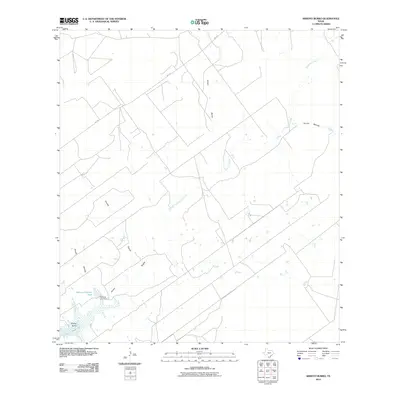 2010 Arroyo Burro2010 Print · USGSZapata County ranchlands at the start of the 2010s are defined by the sprawling reach of the Falcon Reservoir and a network of dry arroyos. Researchers can trace land use through features like the Refugio Ramirez Tank and Ramirez Lake Dam.
 - 2010 Map of Albercas Ranch, 2010 Print
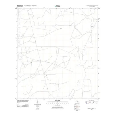 2010 Albercas Ranch2010 Print · USGSSouth Texas ranching and oil production are documented here in Webb County during the early 2000s. Researchers can locate specific ranch headquarters like Albercas Ranch or trace the geography of energy extraction at the Quien Sabe Oil Field and Glen Oil Field.
 - 2010 Map of Arroyo Salado West, 2010 Print
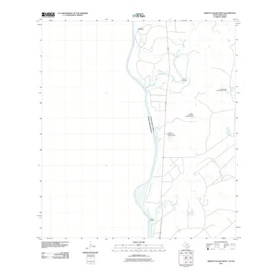 2010 Arroyo Salado West2010 Print · USGSThe Texas-Mexico border comes into focus here during the early 2000s, tracing the river's path through the Zapata County brush country. Genealogists and researchers can locate the historic Poblacion de Dolores and ranching landmarks like La Perla Ranch Lake Number 3 Dam.
 - 2010 Map of O'Keefe Lake, 2010 Print
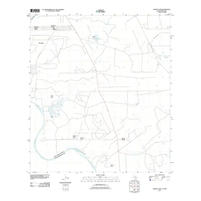 2010 O'Keefe Lake2010 Print · USGSThe Texas-Mexico borderlands near Laredo are captured here during a period of residential development and water management. Researchers can trace the layout of colonias like Rio Bravo and El Cenizo or locate landmarks such as the Rancho Blanco Airport and O'Keefe Lake.
 - 2010 Map of Guerra, 2010 Print
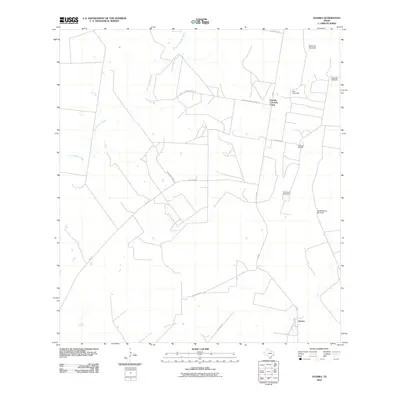 2010 Guerra2010 Print · USGSGuerra and the surrounding South Texas ranchlands are documented here in the early twenty-first century, showing a landscape defined by cattle and oil. Researchers can trace local heritage through landmarks like Humble Colorado Camp, the Colorado Oil Field, and Old Medanito Windmill.
Showing maps 1-25 of 116
Top cities of Zapata County
Frequently asked questions
- What are the different types of historical maps available for Zapata County?
- What is the oldest map of Zapata County?
- Where can I purchase historical maps of Zapata County for my home or office?
- Where can I download high-res historical maps of Zapata County?
- Are there historical topographic maps available for Zapata County?
- Is there historical aerial imagery available for Zapata County?
- Where are historical maps of Zapata County sourced from?