2020s Maps of Utah County, Utah
Explore 116 historic maps of Utah County from the 2020s. These maps offer a rare glimpse into what life looked like during the 2020s — showing old roads, neighborhoods, homes, and landmarks that have changed or disappeared over time.
Whether you're researching your family's past, planning a metal detecting trip, or studying how Utah County's landscape evolved across the 2020s, these high-resolution maps are a powerful tool for exploring the history of this region.
- Focus on a specific era: All maps on this page are from the 2020s, giving you a focused view of this time period.
- See what’s changed: Compare century-old streets, trails, and buildings to today's modern landscape using overlays and satellite layers.
- Research with precision: Use these maps for genealogy, historical research, land use analysis, or educational projects.
- View, download, or print: Maps are fully viewable online in high resolution, and can be downloaded or printed for your own records.
Start exploring Utah County's history through authentic maps from the 2020s. This is your window into the past.
Utah County, UT maps
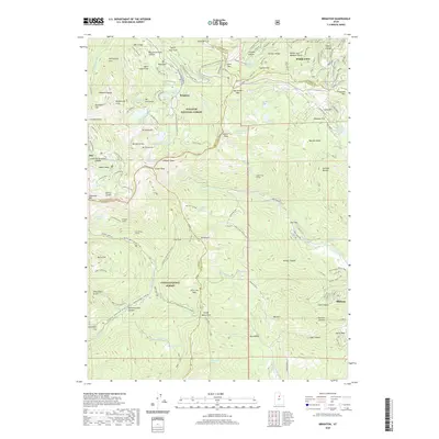
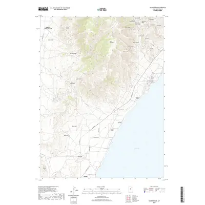
(116)- 2020 Map of Goshen Pass, 2020 Print
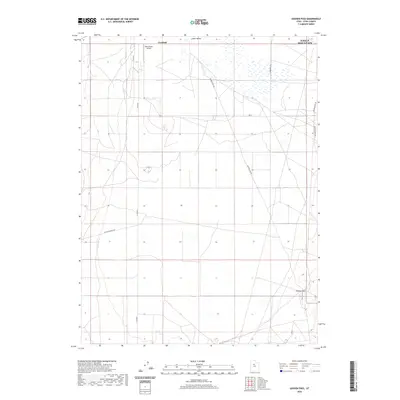 2020 Goshen Pass2020 Print · USGSCovers Utah County, including Eagle Mountain, Fairfield, and other nearby areas
 - 2020 Map of Tickville Spring, 2020 Print
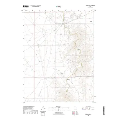
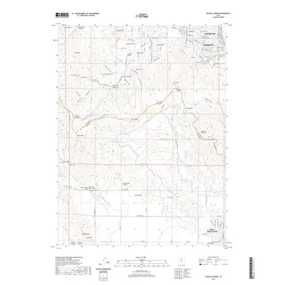 2020 Tickville Spring2020 Print · USGSCovers Utah County, including Eagle Mountain, Herriman, and other nearby areas
 - 2020 Map of Lowe Peak, 2020 Print
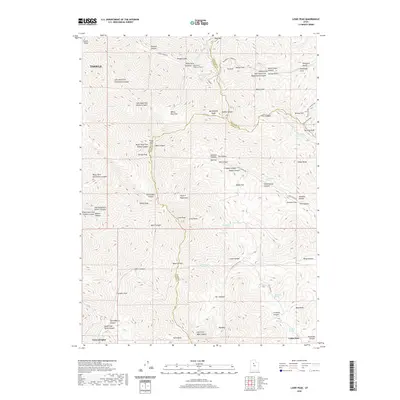 2020 Lowe Peak2020 Print · USGSCovers Utah County, including Tooele, Cedar Fort, and other nearby areas
 - 2020 Map of Boulter Peak, 2020 Print
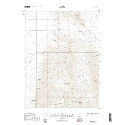 2020 Boulter Peak2020 Print · USGSCovers Utah County, including Tooele County, Juab County, and other nearby areas
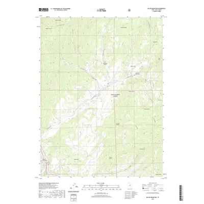
 - 2020 Map of Allens Ranch, 2020 Print
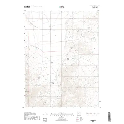 2020 Allens Ranch2020 Print · USGSCovers Utah County, including United States, Utah, and other nearby areas
 - 2020 Map of Fivemile Pass, 2020 Print
 2020 Fivemile Pass2020 Print · USGSCovers Utah County, including Fairfield, Tooele County, and other nearby areas
 - 2020 Map of Pelican Point, 2020 Print
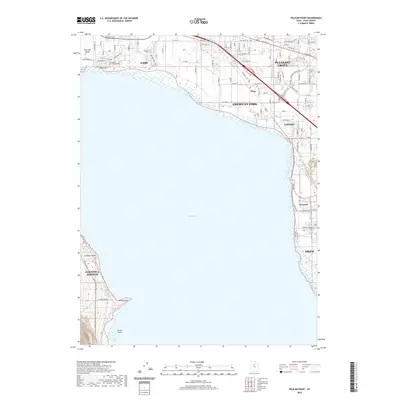 2020 Pelican Point2020 Print · USGSCovers Utah County, including Orem, Lehi, and other nearby areas
 - 2020 Map of Jordan Narrows, 2020 Print
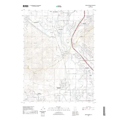 2020 Jordan Narrows2020 Print · USGSCovers Utah County, including Lehi, Eagle Mountain, and other nearby areas
 - 2020 Map of West Mountain, 2020 Print
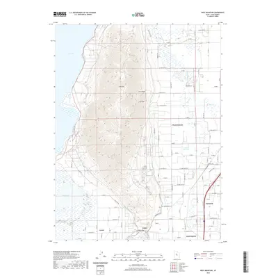 2020 West Mountain2020 Print · USGSCovers Utah County, including Payson, Genola, and other nearby areas
 - 2020 Map of Strawberry Reservoir NW, 2020 Print
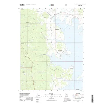 2020 Strawberry Reservoir NW2020 Print · USGSCovers Utah County, including East Portal, Bryants Fork Summer Home Area, and other nearby areas
 - 2020 Map of Granger Mountain, 2020 Print
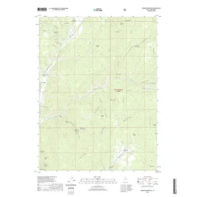 2020 Granger Mountain2020 Print · USGSCovers Utah County, including United States, Utah, and other nearby areas
 - 2020 Map of Provo, 2020 Print
 2020 Provo2020 Print · USGSCovers Utah County, including Provo, Spanish Fork, and other nearby areas
 - 2020 Map of Brighton, 2020 Print
 2020 Brighton2020 Print · USGSCovers Utah County, including Park City, Midway, and other nearby areas
 - 2020 Map of Bridal Veil Falls, 2020 Print
 2020 Bridal Veil Falls2020 Print · USGSCovers Utah County, including Provo, Canyon Glen, and other nearby areas
 - 2020 Map of Rays Valley, 2020 Print
 2020 Rays Valley2020 Print · USGSCovers Utah County, including United States, Utah, and other nearby areas
 - 2020 Map of Twin Peaks, 2020 Print
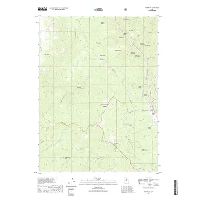 2020 Twin Peaks2020 Print · USGSCovers Utah County, including Independence, Wasatch County, and other nearby areas
 - 2020 Map of Orem, 2020 Print
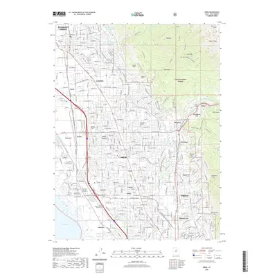 2020 Orem2020 Print · USGSCovers Utah County, including Provo, Orem, and other nearby areas
 - 2020 Map of Lehi, 2020 Print
 2020 Lehi2020 Print · USGSCovers Utah County, including Lehi, Draper, and other nearby areas
 - 2020 Map of Goshen Valley North, 2020 Print
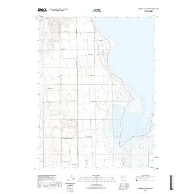 2020 Goshen Valley North2020 Print · USGSCovers Utah County, including Genola, United States, and other nearby areas
 - 2020 Map of Billies Mountain, 2020 Print
 2020 Billies Mountain2020 Print · USGSCovers Utah County, including Patrick Place, United States, and other nearby areas
 - 2020 Map of Two Tom Hill, 2020 Print
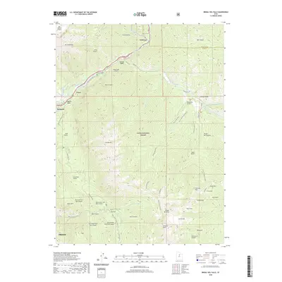
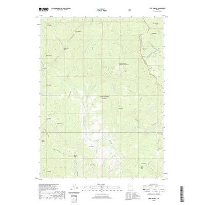 2020 Two Tom Hill2020 Print · USGSCovers Utah County, including West Portal, Wasatch County, and other nearby areas
 - 2020 Map of Timpanogos Cave, 2020 Print
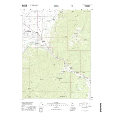
 2020 Timpanogos Cave2020 Print · USGSCovers Utah County, including Pleasant Grove, Highland, and other nearby areas
 - 2020 Map of Spanish Fork Peak, 2020 Print
 2020 Spanish Fork Peak2020 Print · USGSCovers Utah County, including Spanish Fork, Mapleton, and other nearby areas
 - 2020 Map of Saratoga Springs, 2020 Print
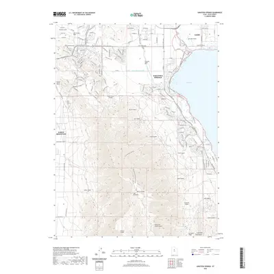 2020 Saratoga Springs2020 Print · USGSCovers Utah County, including Lehi, Eagle Mountain, and other nearby areas
 - 2020 Map of Soldiers Pass, 2020 Print
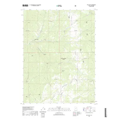
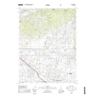
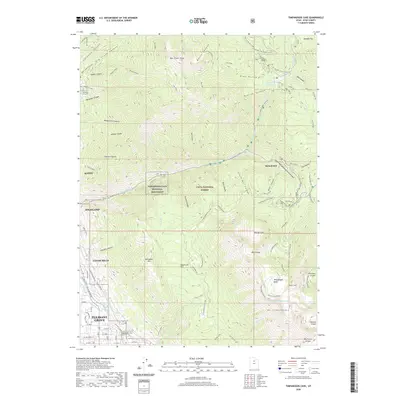
 2020 Soldiers Pass2020 Print · USGSCovers Utah County, including Eagle Mountain, Mosida, and other nearby areas
Showing maps 1-25 of 116
Top cities of Utah County
- Provo historical maps
- Orem historical maps
- Lehi historical maps
- Eagle Mountain historical maps
- Saratoga Springs historical maps
- Spanish Fork historical maps
See more
Frequently asked questions
- What are the different types of historical maps available for Utah County?
- What is the oldest map of Utah County?
- Where can I purchase historical maps of Utah County for my home or office?
- Where can I download high-res historical maps of Utah County?
- Are there historical topographic maps available for Utah County?
- Is there historical aerial imagery available for Utah County?
- Where are historical maps of Utah County sourced from?