2010s Maps of Utah County, Utah
Explore 174 historic maps of Utah County from the 2010s. These maps offer a rare glimpse into what life looked like during the 2010s — showing old roads, neighborhoods, homes, and landmarks that have changed or disappeared over time.
Whether you're researching your family's past, planning a metal detecting trip, or studying how Utah County's landscape evolved across the 2010s, these high-resolution maps are a powerful tool for exploring the history of this region.
- Focus on a specific era: All maps on this page are from the 2010s, giving you a focused view of this time period.
- See what’s changed: Compare century-old streets, trails, and buildings to today's modern landscape using overlays and satellite layers.
- Research with precision: Use these maps for genealogy, historical research, land use analysis, or educational projects.
- View, download, or print: Maps are fully viewable online in high resolution, and can be downloaded or printed for your own records.
Start exploring Utah County's history through authentic maps from the 2010s. This is your window into the past.
Utah County, UT maps
(174)- 2010 Map of Tintic Mountain, 2010 Print
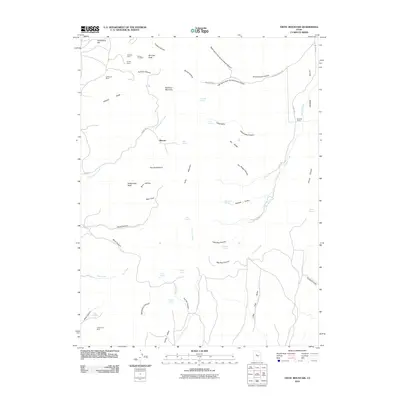 2010 Tintic Mountain2010 Print · USGSJuab County’s high-desert mining country is captured here in the early twenty-first century, centered on the heights of Tintic Mountain. Genealogists and historians can trace the locations of historic extraction sites like the Buckeye Mine and the Tintic Chief Mine alongside local landmarks like Hancock Ranch.
 - 2010 Map of Tintic Junction, 2010 Print
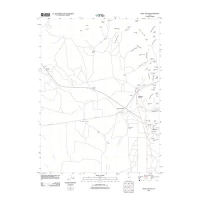 2010 Tintic Junction2010 Print · USGSThe Tintic Mountains come alive in the early twenty-first century as a landscape defined by its deep mining heritage and ranching outposts. Trace the locations of historic shafts like the Yankee Girl Mine or visit the Silver City Cemetery and Hannifin Ranch.
 - 2010 Map of Eureka, 2010 Print
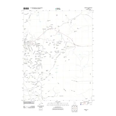 2010 Eureka2010 Print · USGSThe Tintic Mining District is captured here in the early 2000s, showing the high-density mining infrastructure around Eureka and Mammoth. Genealogists and historians can locate specific claims and workings like the Farragut Shaft, Knightville, and Dividend.
 - 2011 Map of Slate Jack Canyon, 2011 Print
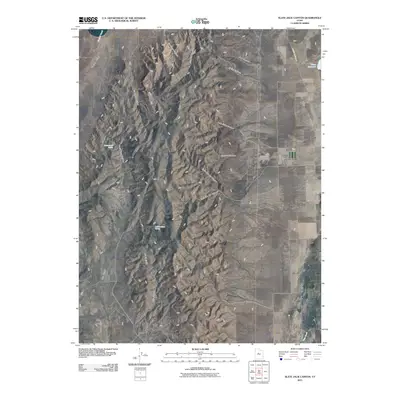 2011 Slate Jack Canyon2011 Print · USGSThe interface of Utah and Juab counties is captured here in the early twenty-first century, showing a landscape shaped by ridge-line geography and canyon corridors. Researchers can locate the Swasey Family Cemetery and trace the paths of Goshen Canyon Rd through the slopes of Long Ridge.
 - 2011 Map of Indianola, 2011 Print
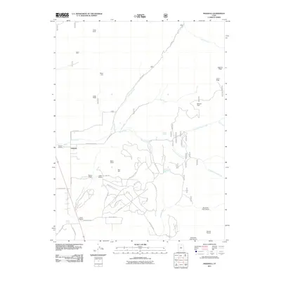 2011 Indianola2011 Print · USGSIndianola and the surrounding Sanpete County foothills are captured here during a period of modern residential growth within the canyons. Researchers can trace family history at Spencer Cemetery or locate landmarks like Crotons Mine and Mormon Spring.
 - 2011 Map of Scofield Reservoir, 2011 Print
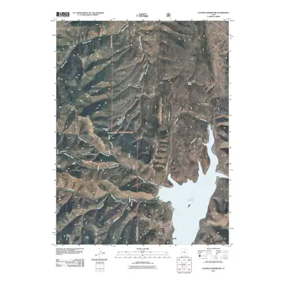 2011 Scofield Reservoir2011 Print · USGSScofield Reservoir and its surrounding mountain canyons are detailed in this 2011 survey, showing the area's transition into a recreational landscape. Researchers can trace land features like the Backswitch, Eternal Flat, and the sites of the Fish Creek Campground and Scofield Campground.
 - 2011 Map of Mona, 2011 Print
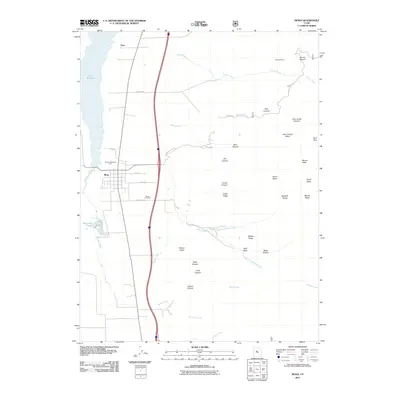 2011 Mona2011 Print · USGSThe agricultural valley of Mona meets the high peaks of the Wasatch Range in the early 2000s. Genealogists and local historians can trace the town grid near Pioneer Memorial Park, find the Mona Cemetery, and locate high-altitude landmarks like the Privateer Mine.
 - 2011 Map of Birdseye, 2011 Print
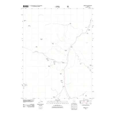 2011 Birdseye2011 Print · USGSThe canyon lands of Utah County are captured here in the early twenty-first century, showing the intersection of mountain geography and local industry. Genealogists and hikers can trace landmarks like Birdseye Quarry, the settlement of Birdseye, and family-named features like Nielson Knoll.
 - 2011 Map of Mill Fork, 2011 Print
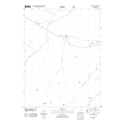 2011 Mill Fork2011 Print · USGSThe Mill Fork area during the early 2000s shows a landscape of mountain passes and canyon settlements shaped by rugged drainage networks. Genealogists and local historians can trace the geography of Mill Fork and its namesake Cemetery or locate Mountain Lion Spring and Terry Flat.
 - 2011 Map of Payson Lakes, 2011 Print
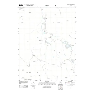 2011 Payson Lakes2011 Print · USGSHigh in the canyons south of Payson, this early twenty-first-century survey shows a landscape of mountain reservoirs and mining history. Researchers can locate the Golden Relief Mine, trace the waters of Big East Reservoir, and identify sites like Camp Koholowo.
 - 2011 Map of Thistle, 2011 Print
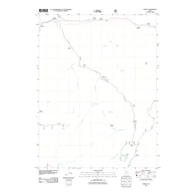 2011 Thistle2011 Print · USGSSpanish Fork Canyon and the Thistle area are captured here in the early twenty-first century as a landscape of deep drainages and vital water resources. Researchers can trace the winding Lake Fork Rd past landmarks like Smiths Reservoir, Rio, and the Thistle Substation.
 - 2011 Map of C Canyon, 2011 Print
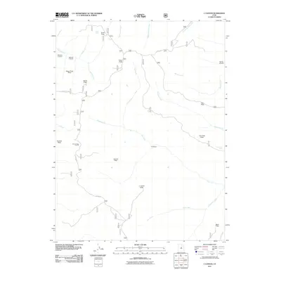 2011 C Canyon2011 Print · USGSUpper Utah County high country is documented in 2011, detailing the ridgelines and water sources of the Manti-La Sal forest. Trace high-altitude routes like Skyline Dr and explore historical landscape markers such as Sawmill Canyon and Wagon Road Ridge.
 - 2011 Map of Santaquin, 2011 Print
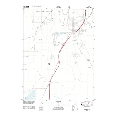 2011 Santaquin2011 Print · USGSThe northern edge of the Juab Valley meets the mountains in this 2011 Utah survey of Santaquin and Genola. Researchers can trace water infrastructure from the Ewell Regulating Reservoir to the Santaquin Debris Basin Dam and locate the Santaquin City Cemetery.
 - 2011 Map of Spencer Canyon, 2011 Print
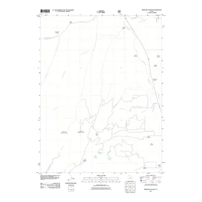 2011 Spencer Canyon2011 Print · USGSThis part of Utah County's high country is shown in the early 2000s, centered on the complex drainages of Thistle Creek and Nebo Creek. Hikers and local historians can trace the high-altitude geography around Mount Baldy and small mountain basins like Madsen Lake and Blind Lake.
 - 2011 Map of Tucker, 2011 Print
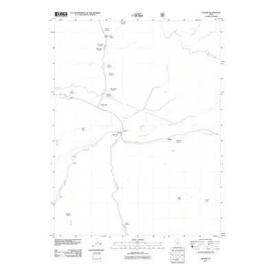 2011 Tucker2011 Print · USGSThe mountain passes of Utah County are shown here at the start of the 2010s, centered on the rugged corridor of Soldier Creek. Researchers can trace the routes through Tucker and Gilluly or locate landmarks like Mine Hollow and Tucker Peak.
 - 2011 Map of Nebo Basin, 2011 Print
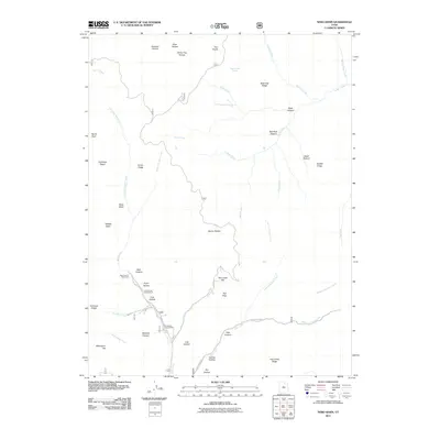 2011 Nebo Basin2011 Print · USGSThe high basins and canyon drainages of Utah County are meticulously detailed in this early twenty-first-century survey. Researchers can trace the winding paths of Nebo Creek and Salt Creek, or locate local landmarks like Devils Kitchen and Beer Bottle Spring.
 - 2011 Map of Soldier Summit, 2011 Print
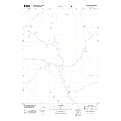 2011 Soldier Summit2011 Print · USGSSoldier Summit and the high mountain passes of the Wasatch Range are captured here during the early twenty-first century. Researchers can trace historic travel routes and geographic landmarks like the Handcart Trl, Aagard Ridge, and the headwaters of the White River.
 - 2011 Map of Goshen, 2011 Print
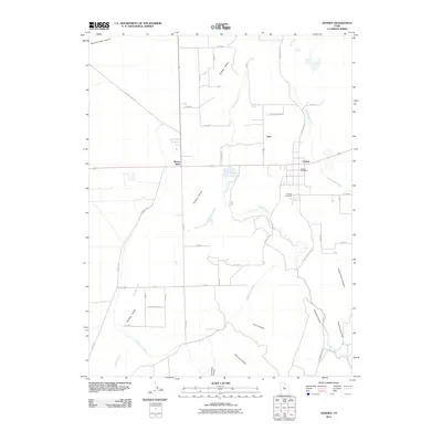 2011 Goshen2011 Print · USGSGoshen and its surrounding valley are documented here in the early twenty-first century, highlighting a community built on complex water management. Genealogists and local historians can locate the Goshen Cemetery, the Goshen Post Office, and rural landmarks like Mount Nebo.
 - 2011 Map of Boulter Peak, 2011 Print
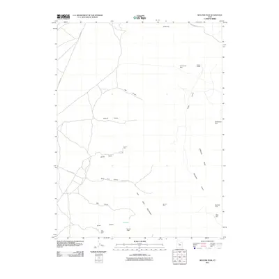 2011 Boulter Peak2011 Print · USGSMining history and mountain geography intersect in this survey of the East Tintic range during the 2010s. Researchers can locate specific industrial sites like the Scranton Mine and Silver Dollar Mine or trace routes through Twelvemile Pass.
 - 2011 Map of Mercur, 2011 Print
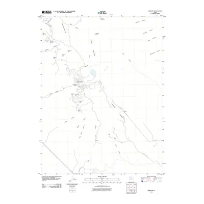 2011 Mercur2011 Print · USGSIn the high Oquirrh Mountains during the early 21st century, the industrial heritage of the legendary Camp Floyd Mining District remains clearly visible. Researchers can trace the footprints of major operations like the Sacramento Mine and the Geyser-Marion Mine or locate the historic sites of Mercur and Manning.
 - 2011 Map of Lowe Peak, 2011 Print
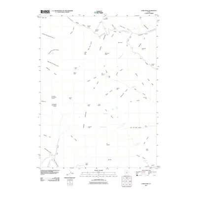 2011 Lowe Peak2011 Print · USGSThe Oquirrh Mountains at the start of the twenty-first century reveal a landscape deeply shaped by mining and mountain passage. Researchers can trace historic industrial sites like the Old Mayflower Mine and the Utah Metal Company Tunnel along the rugged Butterfield Canyon.
 - 2011 Map of Tickville Spring, 2011 Print
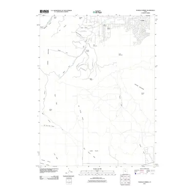 2011 Tickville Spring2011 Print · USGSThe foothills of the Oquirrh and Traverse Mountains are captured here in the early twenty-first century as modern neighborhoods expand into the high desert. Researchers can trace the development of Foothills and find legacy landmarks like the Butterfield Tunnel and Tickville Spring.
 - 2011 Map of Cedar Fort, 2011 Print
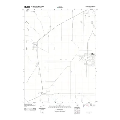 2011 Cedar Fort2011 Print · USGSCedar Valley and the Oquirrh foothills are captured here in the early twenty-first century as modern growth meets pioneer history. Researchers can trace the Pony Express Pkwy and locate the Camp Floyd Cemetery, Cedar Fort, and Big Spring.
 - 2011 Map of Allens Ranch, 2011 Print
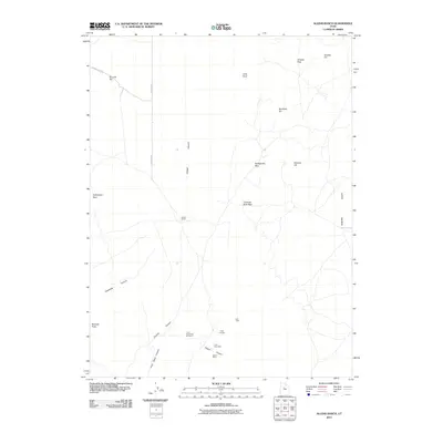 2011 Allens Ranch2011 Print · USGSThe high desert of Utah County is shown here in the early twenty-first century, spanning the rugged gap between two major valleys. Researchers can trace the legacy of local mining at Selma Mine or Lehi Tintic and locate landmarks like Allens Ranch and Chimney Rock Pass.
 - 2011 Map of Fivemile Pass, 2011 Print
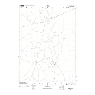 2011 Fivemile Pass2011 Print · USGSThe high-desert terrain of Fairfield and the surrounding hills are captured here in the early twenty-first century. Researchers can trace the legacy of early transit along Railroad Bed Rd and locate landmarks like Topliff and Fivemile Pass.
Showing maps 1-25 of 174
Top cities of Utah County
- Provo historical maps
- Orem historical maps
- Lehi historical maps
- Eagle Mountain historical maps
- Saratoga Springs historical maps
- Spanish Fork historical maps
See more
Frequently asked questions
- What are the different types of historical maps available for Utah County?
- What is the oldest map of Utah County?
- Where can I purchase historical maps of Utah County for my home or office?
- Where can I download high-res historical maps of Utah County?
- Are there historical topographic maps available for Utah County?
- Is there historical aerial imagery available for Utah County?
- Where are historical maps of Utah County sourced from?