2000s (21st Century) Maps of Utah County, Utah
Explore 298 historic maps of Utah County from the 2000s (21st Century). These maps offer a rare glimpse into what life looked like during the 2000s — showing old roads, neighborhoods, homes, and landmarks that have changed or disappeared over time.
Whether you're researching your family's past, planning a metal detecting trip, or studying how Utah County's landscape evolved across the 2000s, these high-resolution maps are a powerful tool for exploring the history of this region.
- Focus on a specific era: All maps on this page are from the 2000s, giving you a focused view of this time period.
- See what’s changed: Compare century-old streets, trails, and buildings to today's modern landscape using overlays and satellite layers.
- Research with precision: Use these maps for genealogy, historical research, land use analysis, or educational projects.
- View, download, or print: Maps are fully viewable online in high resolution, and can be downloaded or printed for your own records.
Start exploring Utah County's history through authentic maps from the 2000s. This is your window into the past.
Utah County, UT maps
(298)- 2001 Map of Thistle, 2004 Print
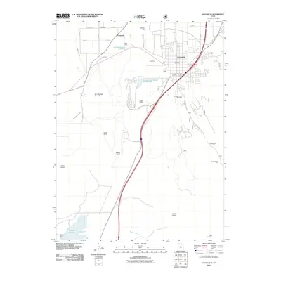
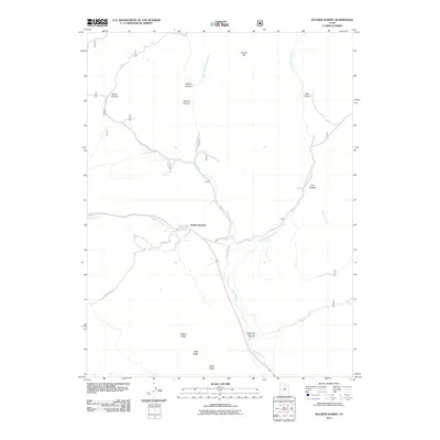
 2001 Thistle2004 Print · USGSThe canyons of Utah County are captured here at the turn of the millennium, centered on the confluence of Spanish Fork and Thistle Creek. Researchers can trace the high-country hydrology near Sky High and locate the Thistle (Site) among the ridges of the Manti-La Sal National Forest.
 - 2001 Map of Birdseye, 2004 Print
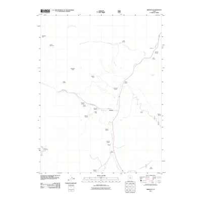
 2001 Birdseye2004 Print · USGSThe Thistle Creek valley in southern Utah County at the turn of the millennium shows a landscape of mountain forests and quiet settlements. Researchers can trace the industrial footprint of the Birdseye Quarry and Asphaltum (Site) or locate family landmarks like Nielsen Knoll.
 - 2001 Map of Spencer Canyon, 2004 Print
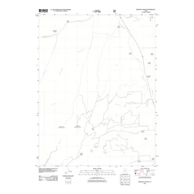
 2001 Spencer Canyon2004 Print · USGSCentral Utah's high country is documented here at the turn of the century, showing where the boundaries of three counties converge. Researchers can trace the Summit Trail past Mount Baldy or locate remote waters like Madsen Lake and Blind Lake.
 - 2001 Map of Scofield Reservoir, 2004 Print
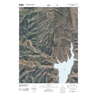
 2001 Scofield Reservoir2004 Print · USGSHigh-elevation canyons and the northern waters of Scofield Reservoir define this portion of the Wasatch Plateau at the turn of the millennium. Modern-day explorers can trace the Fish Creek National Recreation Trail or locate remote landmarks like Eternal Flat and The Backswitch.
 - 2001 Map of C Canyon, 2004 Print
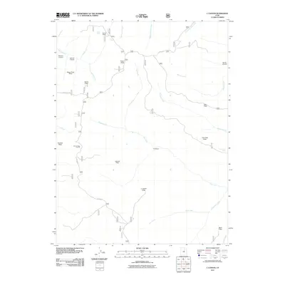
 2001 C Canyon2004 Print · USGSThe high ridges of the Manti-La Sal National Forest are shown at the turn of the millennium along the border of Utah and Sanpete counties. Researchers can trace forest management history at the Iceberg Administrative Site, follow the Skyline Drive, and locate landmarks like Browns Peak.
 - 2001 Map of Tucker, 2004 Print
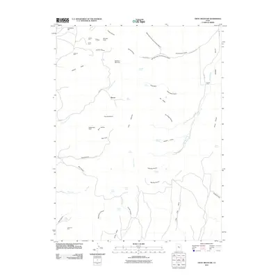
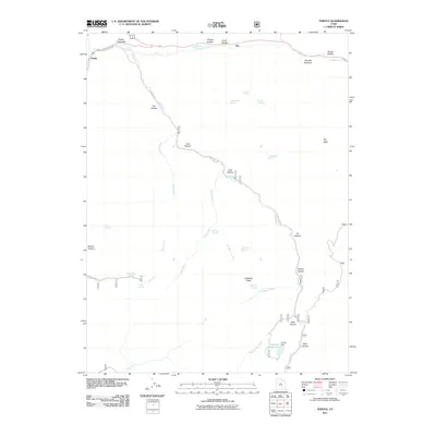
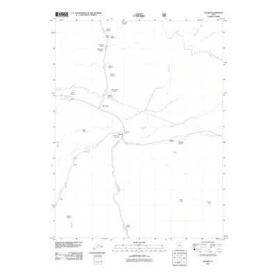
 2001 Tucker2004 Print · USGSThe mountain passes of central Utah are captured here at the turn of the century, centered on the historic junction at Tucker. Researchers can locate the old Cem and trace the steep paths of Drunkard Hollow and Soberville Hollow.
 - 2001 Map of Indianola, 2004 Print
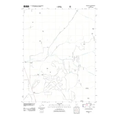
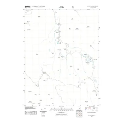
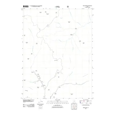
 2001 Indianola2004 Print · USGSThe community of Indianola is captured at the turn of the century where high forest ridges meet the valley floor. Genealogists and researchers can locate Spencer Cem and family-named landmarks like Poulson Well and Tidwell Spring among the draws.
 - 2001 Map of Mill Fork, 2004 Print
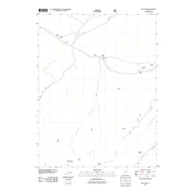
 2001 Mill Fork2004 Print · USGSThe high ridges and deep canyons of Utah County are captured here at the start of the millennium. Local researchers can locate the small settlement and Cem at Mill Fork, alongside the Quarries and the iconic Skyline Drive.
 - 2010 Map of Tintic Mountain, 2010 Print
 2010 Tintic Mountain2010 Print · USGSCovers Utah County, including Dennis, Juab County, and other nearby areas
 - 2010 Map of Tintic Junction, 2010 Print
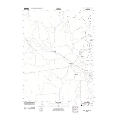 2010 Tintic Junction2010 Print · USGSCovers Utah County, including Eureka, Silver City, and other nearby areas
 - 2010 Map of Eureka, 2010 Print
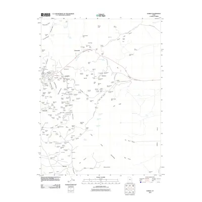 2010 Eureka2010 Print · USGSCovers Utah County, including Eureka, Diamond, and other nearby areas
 - 2011 Map of Slate Jack Canyon, 2011 Print
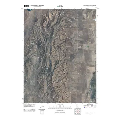 2011 Slate Jack Canyon2011 Print · USGSCovers Utah County, including Juab County, United States, and other nearby areas
 - 2011 Map of Indianola, 2011 Print
 2011 Indianola2011 Print · USGSCovers Utah County, including Indianola, Sanpete County, and other nearby areas
 - 2011 Map of Scofield Reservoir, 2011 Print
 2011 Scofield Reservoir2011 Print · USGSCovers Utah County, including Sanpete County, Carbon County, and other nearby areas
 - 2011 Map of Mona, 2011 Print
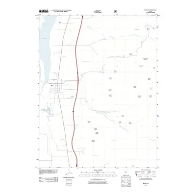 2011 Mona2011 Print · USGSCovers Utah County, including Mona, Starr, and other nearby areas
 - 2011 Map of Birdseye, 2011 Print
 2011 Birdseye2011 Print · USGSCovers Utah County, including Birdseye, Pines, and other nearby areas
 - 2011 Map of Mill Fork, 2011 Print
 2011 Mill Fork2011 Print · USGSCovers Utah County, including Mill Fork, United States, and other nearby areas
 - 2011 Map of Payson Lakes, 2011 Print
 2011 Payson Lakes2011 Print · USGSCovers Utah County, including Payson, Elk Ridge, and other nearby areas
 - 2011 Map of Thistle, 2011 Print
 2011 Thistle2011 Print · USGSCovers Utah County, including Rio, United States, and other nearby areas
 - 2011 Map of C Canyon, 2011 Print
 2011 C Canyon2011 Print · USGSCovers Utah County, including Sanpete County, United States, and other nearby areas
 - 2011 Map of Santaquin, 2011 Print
 2011 Santaquin2011 Print · USGSCovers Utah County, including Genola, Rocky Ridge, and other nearby areas
 - 2011 Map of Spencer Canyon, 2011 Print
 2011 Spencer Canyon2011 Print · USGSCovers Utah County, including Sanpete County, Juab County, and other nearby areas
 - 2011 Map of Tucker, 2011 Print
 2011 Tucker2011 Print · USGSCovers Utah County, including Gilluly, Sky View, and other nearby areas
 - 2011 Map of Nebo Basin, 2011 Print
 2011 Nebo Basin2011 Print · USGSCovers Utah County, including Sanpete County, Juab County, and other nearby areas
 - 2011 Map of Soldier Summit, 2011 Print
 2011 Soldier Summit2011 Print · USGSCovers Utah County, including Wasatch County, United States, and other nearby areas
Showing maps 1-25 of 298
Top cities of Utah County
- Provo historical maps
- Orem historical maps
- Lehi historical maps
- Eagle Mountain historical maps
- Saratoga Springs historical maps
- Spanish Fork historical maps
See more
Frequently asked questions
- What are the different types of historical maps available for Utah County?
- What is the oldest map of Utah County?
- Where can I purchase historical maps of Utah County for my home or office?
- Where can I download high-res historical maps of Utah County?
- Are there historical topographic maps available for Utah County?
- Is there historical aerial imagery available for Utah County?
- Where are historical maps of Utah County sourced from?