2000s (21st Century) Maps of Accomack County, Virginia
Explore 166 historic maps of Accomack County from the 2000s (21st Century). These maps offer a rare glimpse into what life looked like during the 2000s — showing old roads, neighborhoods, homes, and landmarks that have changed or disappeared over time.
Whether you're researching your family's past, planning a metal detecting trip, or studying how Accomack County's landscape evolved across the 2000s, these high-resolution maps are a powerful tool for exploring the history of this region.
- Focus on a specific era: All maps on this page are from the 2000s, giving you a focused view of this time period.
- See what’s changed: Compare century-old streets, trails, and buildings to today's modern landscape using overlays and satellite layers.
- Research with precision: Use these maps for genealogy, historical research, land use analysis, or educational projects.
- View, download, or print: Maps are fully viewable online in high resolution, and can be downloaded or printed for your own records.
Start exploring Accomack County's history through authentic maps from the 2000s. This is your window into the past.
Accomack County, VA maps
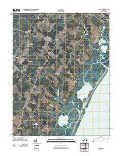
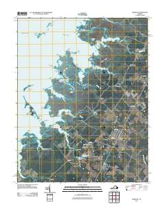
(166)- 2011 Map of Saxis, 2011 Print
 2011 Saxis2011 Print · USGSCovers Accomack County, including Saxis, Sanford, and other nearby areas
 - 2011 Map of Hallwood, 2011 Print
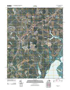
 2011 Hallwood2011 Print · USGSCovers Accomack County, including Atlantic, Temperanceville, and other nearby areas
 - 2011 Map of Crisfield, 2011 Print
 2011 Crisfield2011 Print · USGSCovers Accomack County, including Crisfield, Byrdtown, and other nearby areas
 - 2011 Map of Great Fox Island, 2011 Print
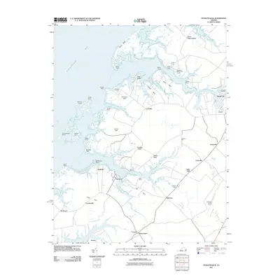
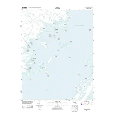
 2011 Great Fox Island2011 Print · USGSCovers Accomack County, including Somerset County, United States, and other nearby areas
 - 2011 Map of Ewell, 2011 Print
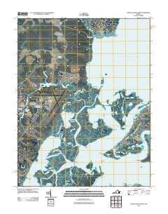
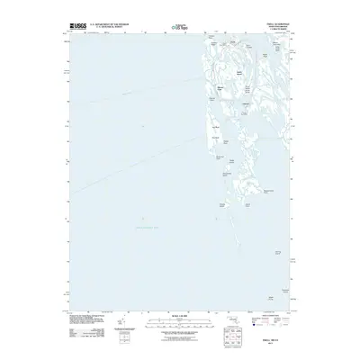 2011 Ewell2011 Print · USGSCovers Accomack County, including Tylerton, Ewell, and other nearby areas
 - 2011 Map of Smith Point, 2011 Print
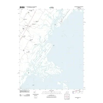
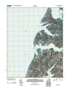
 2011 Smith Point2011 Print · USGSCovers Accomack County, including Saint Mary's County, Somerset County, and other nearby areas
 - 2011 Map of Exmore, 2011 Print
 2011 Exmore2011 Print · USGSCovers Accomack County, including Exmore, Boston, and other nearby areas
 - 2011 Map of Goose Island, 2011 Print
 2011 Goose Island2011 Print · USGSCovers Accomack County, including United States, Virginia, and other nearby areas
 - 2011 Map of Pungoteague, 2011 Print
 2011 Pungoteague2011 Print · USGSCovers Accomack County, including Onancock, Pungoteague, and other nearby areas
 - 2011 Map of Girdletree, 2011 Print
 2011 Girdletree2011 Print · USGSCovers Accomack County, including Greenbackville, Goodwill, and other nearby areas
 - 2011 Map of Nassawadox, 2011 Print
 2011 Nassawadox2011 Print · USGSCovers Accomack County, including Nassawadox, Woodstock, and other nearby areas
 - 2011 Map of Whittington Point, 2011 Print
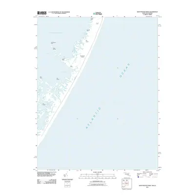 2011 Whittington Point2011 Print · USGSCovers Accomack County, including Worcester County, United States, and other nearby areas
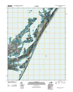
 - 2011 Map of Chincoteague East, 2011 Print
 2011 Chincoteague East2011 Print · USGSCovers Accomack County, including Chincoteague, Deep Hole, and other nearby areas
 - 2011 Map of Boxiron, 2011 Print
 2011 Boxiron2011 Print · USGSCovers Accomack County, including Chincoteague, Boxiron, and other nearby areas
 - 2011 Map of Metompkin Inlet, 2011 Print
 2011 Metompkin Inlet2011 Print · USGSCovers Accomack County, including United States, Virginia, and other nearby areas
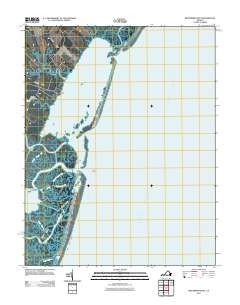
 - 2011 Map of Pocomoke City, 2011 Print
 2011 Pocomoke City2011 Print · USGSCovers Accomack County, including Pocomoke City, Costen, and other nearby areas
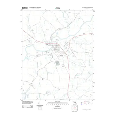
 - 2011 Map of Bloxom, 2011 Print
 2011 Bloxom2011 Print · USGSCovers Accomack County, including Nelsonia, Gargatha, and other nearby areas
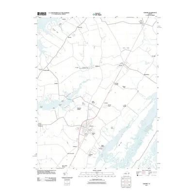
 - 2011 Map of Accomac, 2011 Print
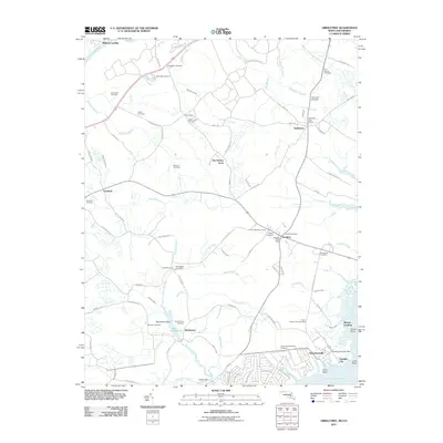
 2011 Accomac2011 Print · USGSCovers Accomack County, including Onancock, Pastoria, and other nearby areas
 - 2011 Map of Chincoteague West, 2011 Print
 2011 Chincoteague West2011 Print · USGSCovers Accomack County, including Chincoteague, Captains Cove, and other nearby areas
 - 2011 Map of Jamesville, 2011 Print
 2011 Jamesville2011 Print · USGSCovers Accomack County, including Cedar View, Davis Wharf, and other nearby areas
 - 2011 Map of Parksley, 2011 Print
 2011 Parksley2011 Print · USGSCovers Accomack County, including Parksley, Bloxom, and other nearby areas
 - 2011 Map of East of Reedville, 2011 Print
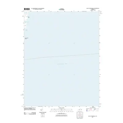 2011 East of Reedville2011 Print · USGSCovers Accomack County, including Northumberland County, United States, and other nearby areas
 - 2011 Map of Chesconessex, 2011 Print
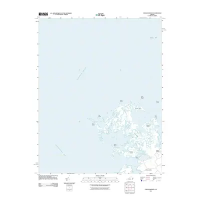 2011 Chesconessex2011 Print · USGSCovers Accomack County, including Schooner Bay, Deep Creek, and other nearby areas
 - 2011 Map of Chincoteague East OE S, 2011 Print
 2011 Chincoteague East OE S2011 Print · USGSCovers Accomack County, including Chincoteague, United States, and other nearby areas
 - 2011 Map of Wachapreague OE E, 2011 Print
 2011 Wachapreague OE E2011 Print · USGSCovers Accomack County, including United States, Virginia, and other nearby areas
Showing maps 1-25 of 166
Top cities of Accomack County
- Chincoteague historical maps
- Captains Cove historical maps
- Wattsville historical maps
- Onancock historical maps
- Horntown historical maps
- Parksley historical maps
See more
Frequently asked questions
- What are the different types of historical maps available for Accomack County?
- What is the oldest map of Accomack County?
- Where can I purchase historical maps of Accomack County for my home or office?
- Where can I download high-res historical maps of Accomack County?
- Are there historical topographic maps available for Accomack County?
- Is there historical aerial imagery available for Accomack County?
- Where are historical maps of Accomack County sourced from?