2000s (21st Century) Maps of Chincoteague, Virginia
Explore 9 historic maps of Chincoteague from the 2000s (21st Century). These maps offer a rare glimpse into what life looked like during the 2000s — showing old roads, neighborhoods, homes, and landmarks that have changed or disappeared over time.
Whether you're researching your family's past, planning a metal detecting trip, or studying how Chincoteague's landscape evolved across the 2000s, these high-resolution maps are a powerful tool for exploring the history of this region.
- Focus on a specific era: All maps on this page are from the 2000s, giving you a focused view of this time period.
- See what’s changed: Compare century-old streets, trails, and buildings to today's modern landscape using overlays and satellite layers.
- Research with precision: Use these maps for genealogy, historical research, land use analysis, or educational projects.
- View, download, or print: Maps are fully viewable online in high resolution, and can be downloaded or printed for your own records.
Start exploring Chincoteague's history through authentic maps from the 2000s. This is your window into the past.
Chincoteague, VA maps
(9)- 2011 Map of Boxiron, 2011 Print
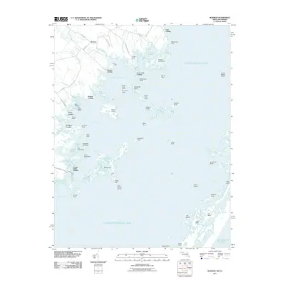 2011 Boxiron2011 Print · USGSCovers Chincoteague, including Boxiron, Scarboro Landing, and other nearby areas
 - 2014 Map of Boxiron, 2014 Print
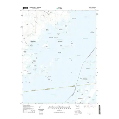 2014 Boxiron2014 Print · USGSCovers Chincoteague, including Boxiron, Scarboro Landing, and other nearby areas
 - 2016 Map of Boxiron, 2016 Print
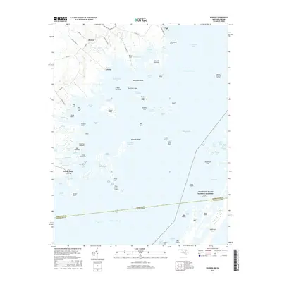 2016 Boxiron2016 Print · USGSCovers Chincoteague, including Boxiron, Scarboro Landing, and other nearby areas
 - 2019 Map of Boxiron, 2019 Print
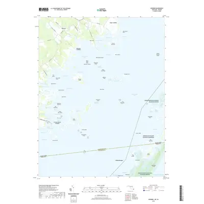 2019 Boxiron2019 Print · USGSCovers Chincoteague, including Boxiron, Scarboro Landing, and other nearby areas
 - 2022 Map of Chincoteague East, 2022 Print
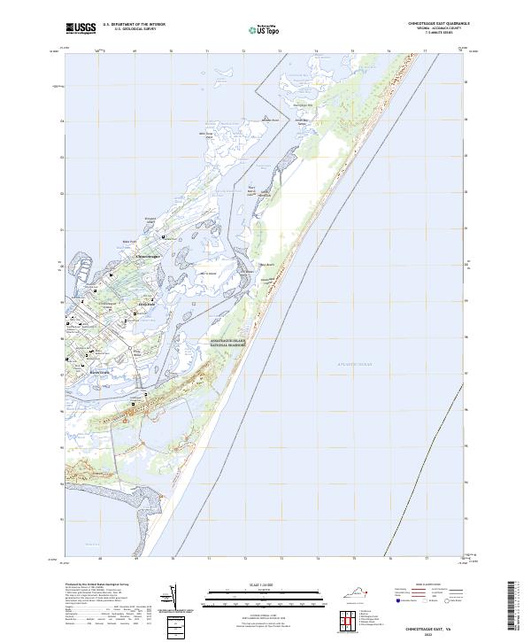 2022 Chincoteague East2022 Print · USGSThe Chincoteague and Assateague islands of Virginia are showcased here in the early 2020s, highlighting the balance between island life and wildlife preservation. Genealogists can locate numerous community sites including Assateague Village Cem, Birch Town, and Holy Ridge Cem.
 - 2022 Map of Chincoteague West, 2022 Print
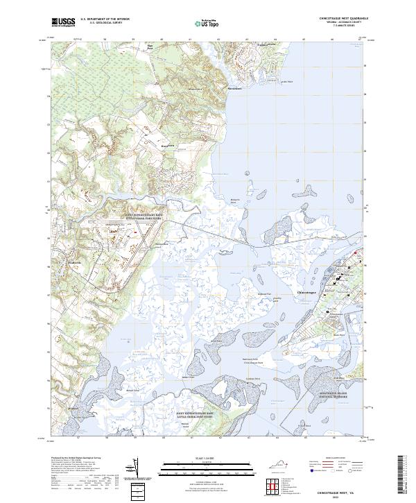 2022 Chincoteague West2022 Print · USGSCoastal Accomack County comes alive in the early 2020s, showing the intersection of maritime heritage and federal wildlife conservation. Genealogists and historians can locate numerous family burial grounds like Odd Fellows Cem and Thornton Cem near Chincoteague.
 - 2022 Map of Chincoteague East OE S, 2022 Print
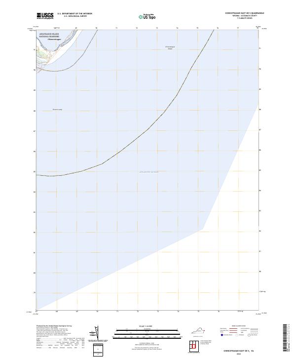 2022 Chincoteague East OE S2022 Print · USGSThe Virginia coastline and its transition into the Atlantic are captured here in the early twenty-first century. Researchers can trace the boundaries of the Chincoteague National Wildlife Refuge and locate offshore features like Turners Lump.
 - 2022 Map of Wallops Island, 2022 Print
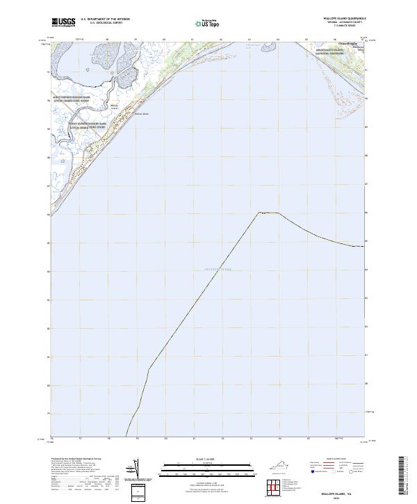 2022 Wallops Island2022 Print · USGSCoastal Virginia's barrier islands and strategic military installations are detailed in this recent survey. Researchers can trace the perimeter of Joint Expeditionary Base Little Creek-Fort Story and locate landmarks like Wallops Beach and Pie Hammock.
 - 2023 Map of Boxiron, 2023 Print
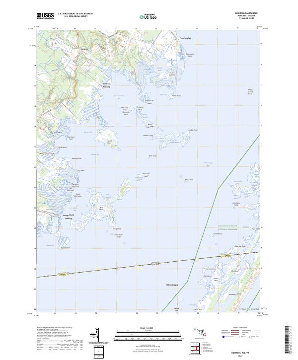 2023 Boxiron2023 Print · USGSCoastal Maryland and Virginia meet in this coastal study of the marshes and landings surrounding Chincoteague Bay. Genealogists and local historians can trace family-named sites like Boxiron, Figgs Landing, and the many islands including Mills Island and Hog Island.
End of results
Showing maps 1-9 of 9
Top cities near Chincoteague
- Pocomoke City historical maps
- Snow Hill historical maps
- Captains Cove historical maps
- Wattsville historical maps
- Horntown historical maps
- Atlantic historical maps
See more
Top neighborhoods of Chincoteague
Frequently asked questions
- What are the different types of historical maps available for Chincoteague?
- What is the oldest map of Chincoteague?
- Where can I purchase historical maps of Chincoteague for my home or office?
- Where can I download high-res historical maps of Chincoteague?
- Are there historical topographic maps available for Chincoteague?
- Is there historical aerial imagery available for Chincoteague?
- Where are historical maps of Chincoteague sourced from?