2010s Maps of Lewis County, Washington
Explore 195 historic maps of Lewis County from the 2010s. These maps offer a rare glimpse into what life looked like during the 2010s — showing old roads, neighborhoods, homes, and landmarks that have changed or disappeared over time.
Whether you're researching your family's past, planning a metal detecting trip, or studying how Lewis County's landscape evolved across the 2010s, these high-resolution maps are a powerful tool for exploring the history of this region.
- Focus on a specific era: All maps on this page are from the 2010s, giving you a focused view of this time period.
- See what’s changed: Compare century-old streets, trails, and buildings to today's modern landscape using overlays and satellite layers.
- Research with precision: Use these maps for genealogy, historical research, land use analysis, or educational projects.
- View, download, or print: Maps are fully viewable online in high resolution, and can be downloaded or printed for your own records.
Start exploring Lewis County's history through authentic maps from the 2010s. This is your window into the past.
Lewis County, WA maps
(195)- 2011 Map of Hatchet Mountain, 2011 Print
 2011 Hatchet Mountain2011 Print · USGSLewis County timberlands and river valleys are captured here in the early twenty-first century. Researchers can trace remote settlements and access points like Wilson, Maple Flat, and the area around Nineteen Mile Camp near the Green River.
 - 2011 Map of Jackson Prairie, 2011 Print
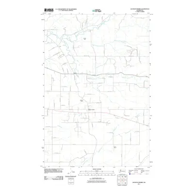 2011 Jackson Prairie2011 Print · USGSThis Lewis County landscape in the early 2000s showcases the converging forks of the Newaukum River and the flatlands of the Jackson Prairie. Genealogists and local historians can trace family-named roads and rural settlements like Klaus, Marys Corner, and Harris Airport.
 - 2011 Map of Lake Lawrence, 2011 Print
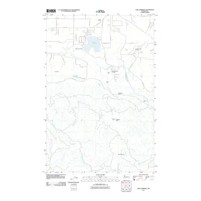 2011 Lake Lawrence2011 Print · USGSThurston County’s transition from prairie to mountain is captured here in the early 2000s, from the banks of the Deschutes River to the high ridges. Researchers can locate family landmarks like Reichel Ranch and Roundtree Cabin or trace the drainage of the Skookumchuck River.
 - 2011 Map of Bucoda, 2011 Print
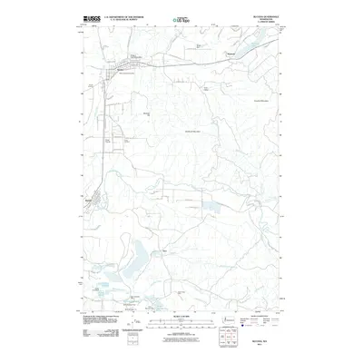 2011 Bucoda2011 Print · USGSThe Thurston County corridor south of Olympia is captured here in the early twenty-first century, showing the enduring paths of pioneer and industrial history. Researchers can trace the Oregon Trail Monument, find the Black Prince Mine, and locate graves at Forest Cemetery.
 - 2011 Map of Onalaska NW, 2011 Print
 2011 Onalaska NW2011 Print · USGSThis Lewis County landscape in the early 2000s centers on the vital drainage of the North Fork Newaukum River. Researchers can trace the timber and fire history of the region through landmarks like Hunters Cabin Lookout and Lucas Creek Lookout.
 - 2011 Map of Anderson Lake, 2011 Print
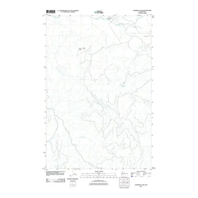 2011 Anderson Lake2011 Print · USGSPierce County’s timberlands and river valleys are captured here in the early twenty-first century as the logging industry continues to shape the terrain. Trace the drainage of the Nisqually River and locate the National Mill Pond Dam and National Mountain Lookout.
 - 2011 Map of Toledo, 2011 Print
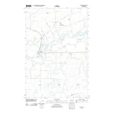 2011 Toledo2011 Print · USGSToledo and the Cowlitz River valley are shown here in the early twenty-first century, a landscape defined by historic farming prairies and riverside life. Researchers can locate community anchors like the Cowlitz Prairie Grange, Lone Hill Cemetery, and the Lower Cowlitz School.
 - 2011 Map of Logan Hill, 2011 Print
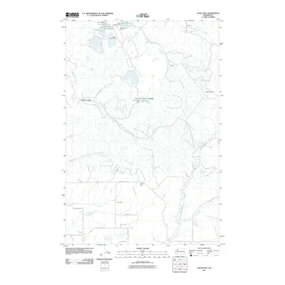 2011 Logan Hill2011 Print · USGSLewis County's rural uplands are shown in detail during the early 2010s, featuring a landscape shaped by managed timberlands and water systems. Researchers can locate small communities like Kopiah and Mendota or trace the many impoundments along South Hanaford Creek.
 - 2011 Map of Bald Hill, 2011 Print
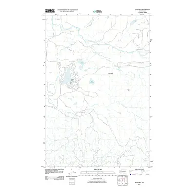 2011 Bald Hill2011 Print · USGSPierce County in the early twenty-first century reveals a landscape shaped by the Nisqually River and timber interests. Trace local landmarks like Deschutes Falls, Fossil Rock, and the shoreline communities of Clear Lake.
 - 2011 Map of Winters Mountain, 2011 Print
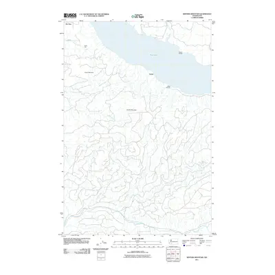 2011 Winters Mountain2011 Print · USGSLewis County's timber and water systems are documented in detail during the early twenty-first century. Researchers can trace land features from Nesika to Alta Vista, following landmarks like Raatz Dam, Nesika Bridge, and the banks of Riffe Lake.
 - 2011 Map of Napavine, 2011 Print
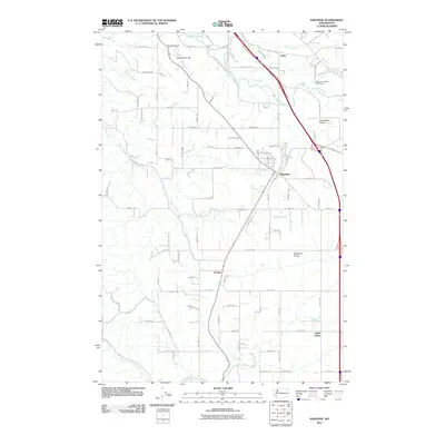 2011 Napavine2011 Print · USGSNapavine and the surrounding prairies of Lewis County are captured here during a period of steady rural growth. Genealogists and local historians can trace the roads and waterways connecting Evaline, Saint Urban, and the Newaukum River.
 - 2011 Map of Eden Valley, 2011 Print
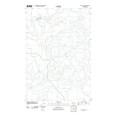 2011 Eden Valley2011 Print · USGSEden Valley and the Cowlitz River corridor are shown here in the early twenty-first century as a landscape of hatcheries and rural homesteads. Local researchers can trace the vicinity of Windom Mine, locate Cedar Creek Falls, and find family-named routes like Merchant Rd.
 - 2011 Map of Winlock, 2011 Print
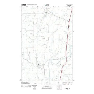 2011 Winlock2011 Print · USGSLewis County at the start of the twenty-first century shows a landscape of prairie flatlands and timbered hills along the Cowlitz River corridor. Researchers can locate the Little Falls Cemetery, trace the Brim Creek School, or explore rural landmarks like the Cougar Flat Grange.
 - 2011 Map of Centralia, 2011 Print
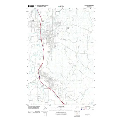 2011 Centralia2011 Print · USGSThe Twin Cities of Centralia and Chehalis are shown at the turn of the millennium, centered on the confluence of the Skookumchuck River and Chehalis River. Researchers can trace the development of local neighborhoods and find sites like Washington Lawn Cemetery and the Centralia College Clock Tower.
 - 2011 Map of Coyote Mountain, 2011 Print
 2011 Coyote Mountain2011 Print · USGSCowlitz County’s logging legacy and mountain terrain are captured in this early 21st-century record of the Winston Creek drainage. Researchers can trace historic timber operations through sites like the Shingle Mill, Long-Bell Mill Pond Dam, and the remote outposts of Camp 9 and Camp 10.
 - 2011 Map of Vail, 2011 Print
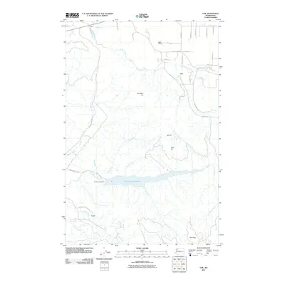 2011 Vail2011 Print · USGSThurston County’s rural interior is documented here in the early twenty-first century, centered on the significant Skookumchuck Reservoir. Local researchers can trace the roads around Vail and locate landmarks like the Skookumchuck Dam and Sundown Ranch.
 - 2011 Map of Boistfort, 2011 Print
 2011 Boistfort2011 Print · USGSLewis County at the start of the twenty-first century reveals a landscape of river-bottom prairies and deep timber valleys. Researchers can trace the heritage of Boistfort and Klaber or locate landmarks like Camp McDonald and Boistfort Prairie.
 - 2011 Map of Curtis, 2011 Print
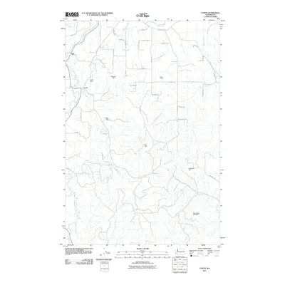 2011 Curtis2011 Print · USGSWestern Lewis County comes into focus in the early 2000s, centered on the fertile confluence of the South Fork Chehalis River. Researchers can trace the rural layout of Curtis and Ruth or locate family landmarks like the Crego Grange and Sam Henry Mountain.
 - 2011 Map of Rochester, 2011 Print
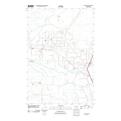 2011 Rochester2011 Print · USGSThurston County’s prairie and river landscapes are captured here during a period of steady rural growth in the early twenty-first century. Genealogists and researchers can trace local family landmarks from Grand Mound Cemetery to the small settlements at Helsing Junction and Peterson Corner.
 - 2011 Map of Wildwood, 2011 Print
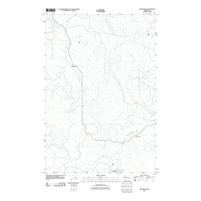 2011 Wildwood2011 Print · USGSWildwood and the surrounding Lewis County backcountry are shown here in the early twenty-first century, centered on the South Fork Chehalis River valley. Genealogists and hikers can trace old routes to Snow Cemetery, the settlement at Ryderwood, and landmarks like Point Hill.
 - 2011 Map of Doty, 2011 Print
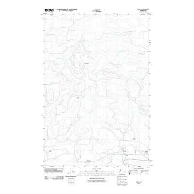 2011 Doty2011 Print · USGSLewis County life centers on the Chehalis River valley in the early twenty-first century, where timber-country settlements are still clearly mapped. You can locate the Doty Post Office, trace the grounds of Sylvan Cemetery, and explore the rural reaches of Doty Hills and Bucks Knob.
 - 2011 Map of Oakville, 2011 Print
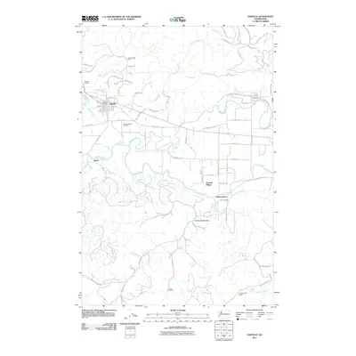 2011 Oakville2011 Print · USGSOakville and the Chehalis River valley are documented here in the early twenty-first century as the landscape maintains its deep-rooted rural character. Genealogists and historians can locate the Oakville Pioneer Cemetery, the Finnish Cemetery, and the Lincoln Creek Grange.
 - 2011 Map of Adna, 2011 Print
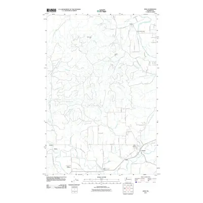 2011 Adna2011 Print · USGSLewis County at the start of the twenty-first century reveals a resilient pattern of valley settlements and upland creeks. Genealogists and local historians can trace family locations near the Claquato Cemetery and small communities like Adna, Littell, and Galvin.
 - 2011 Map of Pe Ell, 2011 Print
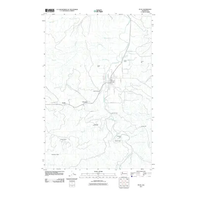 2011 Pe Ell2011 Print · USGSThe upper Chehalis River valley in western Washington is shown here during the early twenty-first century, centered on the historic town of Pe Ell. Genealogists and local historians can trace the streets of Pe Ell or locate the outlying settlements of McCormick and Walville.
 - 2011 Map of Elochoman Pass, 2011 Print
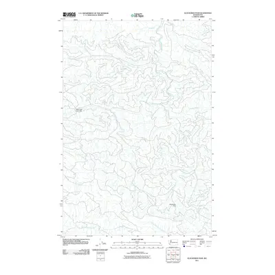 2011 Elochoman Pass2011 Print · USGSThe headwaters of several major river systems converge in this high-altitude landscape during the early twenty-first century. Hydrologists and local researchers can trace the intricate origins of the Chehalis River and the North Fork Elochoman River from landmarks like Elochoman Pass.
Showing maps 1-25 of 195
Top cities of Lewis County
- Centralia historical maps
- Chehalis historical maps
- Napavine historical maps
- Winlock historical maps
- Packwood historical maps
- Morton historical maps
See more
Frequently asked questions
- What are the different types of historical maps available for Lewis County?
- What is the oldest map of Lewis County?
- Where can I purchase historical maps of Lewis County for my home or office?
- Where can I download high-res historical maps of Lewis County?
- Are there historical topographic maps available for Lewis County?
- Is there historical aerial imagery available for Lewis County?
- Where are historical maps of Lewis County sourced from?