2020s Maps of Lewis County, Washington
Explore 130 historic maps of Lewis County from the 2020s. These maps offer a rare glimpse into what life looked like during the 2020s — showing old roads, neighborhoods, homes, and landmarks that have changed or disappeared over time.
Whether you're researching your family's past, planning a metal detecting trip, or studying how Lewis County's landscape evolved across the 2020s, these high-resolution maps are a powerful tool for exploring the history of this region.
- Focus on a specific era: All maps on this page are from the 2020s, giving you a focused view of this time period.
- See what’s changed: Compare century-old streets, trails, and buildings to today's modern landscape using overlays and satellite layers.
- Research with precision: Use these maps for genealogy, historical research, land use analysis, or educational projects.
- View, download, or print: Maps are fully viewable online in high resolution, and can be downloaded or printed for your own records.
Start exploring Lewis County's history through authentic maps from the 2020s. This is your window into the past.
Lewis County, WA maps
(130)- 2020 Map of Lake Lawrence, 2020 Print
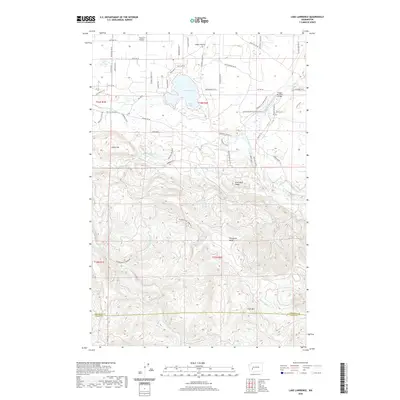 2020 Lake Lawrence2020 Print · USGSThe Lake Lawrence basin and the southern timberlands of Thurston County are shown here in recent detail. Researchers can trace the winding course of the Deschutes River and locate family-named landmarks like Smith Prairie and Jonas Hill.
 - 2020 Map of Elbe, 2020 Print
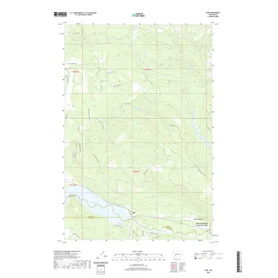 2020 Elbe2020 Print · USGSNear the entrance to the Cascades in the early twenty-first century, this area centers on the riverfront community of Elbe. Genealogists and historians can trace local routes like Mineral Hill Rd and explore the shoreline of Alder Lake near the Nisqually River.
 - 2020 Map of Mount Rainier West, 2020 Print
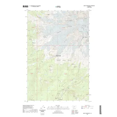 2020 Mount Rainier West2020 Print · USGSMount Rainier's western slopes and glacial headwaters are captured here in the contemporary era. Trace the historic Wonderland Trail as it passes through Longmire and skirts high-elevation features like Saint Andrews Lake and Narada Falls.
 - 2020 Map of Jackson Prairie, 2020 Print
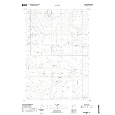 2020 Jackson Prairie2020 Print · USGSLewis County's prairie landscapes come to life in this recent survey, showing the interconnected river forks and upland flats south of Chehalis. Genealogists and local historians can trace family-named roads and rural settlements from Napavine to Marys Corner and Cowlitz Prairie.
 - 2020 Map of White Pass, 2020 Print
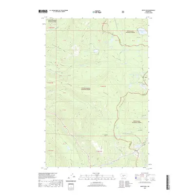 2020 White Pass2020 Print · USGSThe high Cascade crest comes into focus during the early twenty-first century as three major national forests and parks intersect. Hikers and historians can trace the Pacific Crest National Scenic Trail as it crosses White Pass and Cowlitz Pass.
 - 2020 Map of Eden Valley, 2020 Print
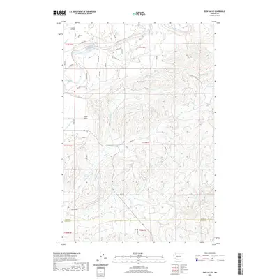 2020 Eden Valley2020 Print · USGSCowlitz County and Lewis County meet here in a landscape of open prairies and deep creek drainages during the 2020s. Researchers can trace family history at Ike Cem or explore the rural topography around Eden Valley and Cowlitz Prairie.
 - 2020 Map of Winters Mountain, 2020 Print
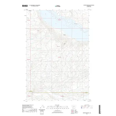 2020 Winters Mountain2020 Print · USGSThe high peaks and deep river valleys of Lewis County are seen here in recent years, centered on the waters of Riffe Lake. Researchers can trace the Lewis-Cowlitz county line and find landmarks like Nesika, Alta Vista, and Soda Spring.
 - 2020 Map of Kiona Peak, 2020 Print
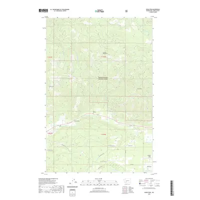 2020 Kiona Peak2020 Print · USGSLewis County's mountain terrain and valley settlements are captured here in the 2020s, showing the intersection of forest management and local history. Researchers can locate family landmarks at Rainey Valley Cem, Coleman Cem, and the high-altitude Coleman Weed Patch.
 - 2020 Map of Mount Wow, 2020 Print
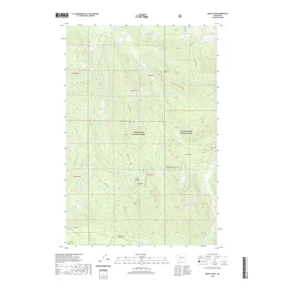 2020 Mount Wow2020 Print · USGSMount Rainier's western wilderness and the high ridges of Pierce County are captured here in the early twenty-first century. Hikers and historians can trace the iconic Wonderland Trail as it passes Kapatche Point or locate remote high-altitude landmarks like Gobblers Knob and Lake Christine.
 - 2020 Map of Onalaska, 2020 Print
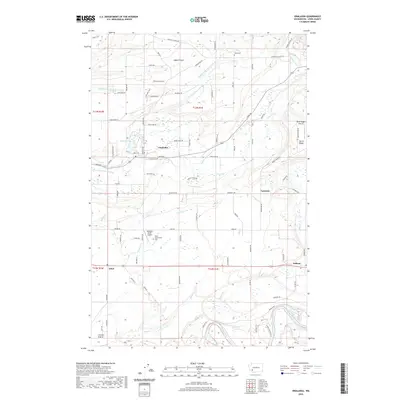 2020 Onalaska2020 Print · USGSLewis County settlement and timber country are detailed here in 2020, focusing on the communities of Onalaska and Ethel. Researchers can trace local lineage at Alpha Cem or explore the river-driven landscape around Carlisle Lake and the Cowlitz River.
 - 2020 Map of Onalaska NW, 2020 Print
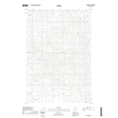 2020 Onalaska NW2020 Print · USGSLewis County's timber and river country is documented here in the early twenty-first century as modern infrastructure meets traditional watersheds. Genealogists and historians can trace the paths of Lucas Creek Rd and Centralia Alpha Rd through the N Fork Newaukum River valley.
 - 2020 Map of Walupt Lake, 2020 Print
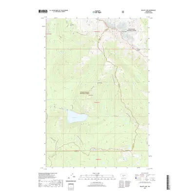 2020 Walupt Lake2020 Print · USGSThe high Cascades of Yakima County are captured here just as modern mapping updates detail the wilderness interface. Backpackers and historians can trace the iconic Pacific Crest National Scenic Trail as it traverses Goat Rocks and passes by Walupt Lake.
 - 2020 Map of Old Snowy Mountain, 2020 Print
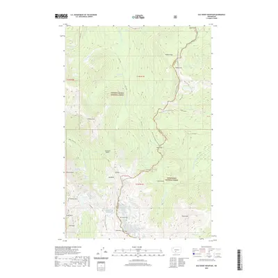 2020 Old Snowy Mountain2020 Print · USGSThe high alpine peaks of the Cascades are documented here in the early twenty-first century as they span the Gifford Pinchot and Snoqualmie national forests. Hikers and researchers can trace the Pacific Crest National Scenic Trail as it crosses Tieton Pass and skirts the McCall Glacier near Old Snowy Mtn.
 - 2020 Map of Newaukum Lake, 2020 Print
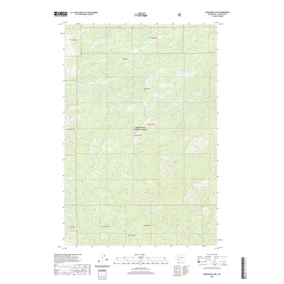 2020 Newaukum Lake2020 Print · USGSUpper Lewis County at the start of the 2020s remains a landscape of high timber and critical headwaters within the Snoqualmie National Forest. You can trace the drainage patterns from Newaukum Lake and identify key landmarks like Rooster Rock and Lookout Peak.
 - 2020 Map of Glenoma, 2020 Print
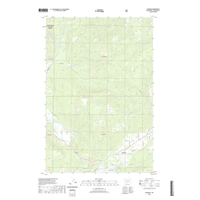 2020 Glenoma2020 Print · USGSRainey Valley and the settlement of Glenoma are captured in the late twenty-teens as the landscape balances forest industry and mountain recreation. Researchers can trace the drainage of the Tilton River and locate local landmarks like McKinley Lake, Fern Gap, and Riffe Lake.
 - 2020 Map of Cougar Lake, 2020 Print
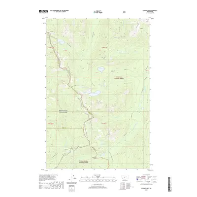 2020 Cougar Lake2020 Print · USGSThe high Cascade crest comes into focus in 2020 at the meeting point of three Washington counties and three major protected forests. Trace the iconic Pacific Crest National Scenic Trail as it bypasses Dewey Lake, Cougar Lake, and Crag Mtn.
 - 2020 Map of Vail, 2020 Print
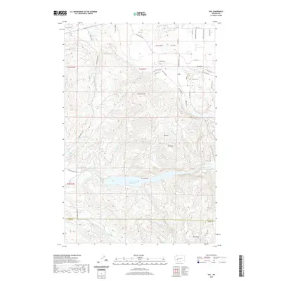 2020 Vail2020 Print · USGSThurston County’s timber and water systems are on full display in this modern survey of the area around Vail. Researchers can trace the shoreline of Skookumchuck Reservoir and locate family landmarks like Baumgard Hill, Miller Hill, and the expansive Ruth Prairie.
 - 2020 Map of Coyote Mountain, 2020 Print
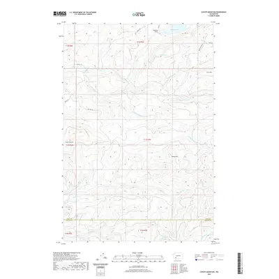 2020 Coyote Mountain2020 Print · USGSThe timberlands and high ridges along the Lewis and Cowlitz County line are captured here in the contemporary era. Researchers can trace the legacy of the logging industry through landmarks like the Long-Bell Mill Pond, Swofford Valley, and Coyote Mtn.
 - 2020 Map of Bernier Creek, 2020 Print
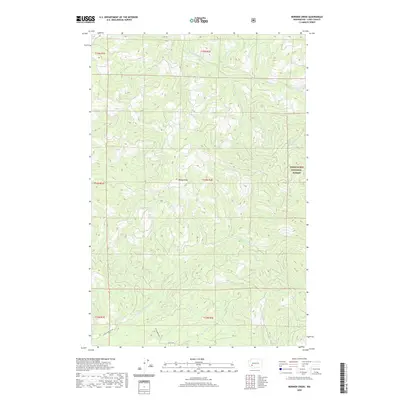 2020 Bernier Creek2020 Print · USGSLewis County timberlands and river headwaters are documented here in the early twenty-first century. Researchers can trace the drainages of the Skookumchuck River and S Fork Newaukum River or locate the high point at Windy Knob.
 - 2020 Map of Bucoda, 2020 Print
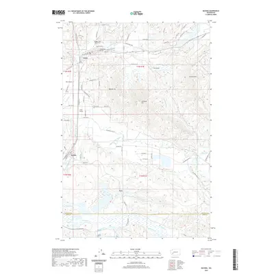 2020 Bucoda2020 Print · USGSThurston County’s prairies and river valleys are captured here in the modern era as the region continues to evolve. Local historians can trace the paths of early pioneers near the Oregon Trail Monument or explore the sites of Bucoda, Tenino, and the rural landscapes around Forest Cem.
 - 2020 Map of Cowlitz Falls, 2020 Print
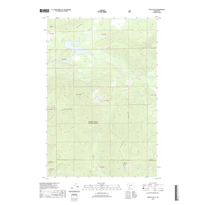 2020 Cowlitz Falls2020 Print · USGSThe Lewis County high country near Cispus is captured here during the modern era of hydroelectric development. Researchers can trace the rugged drainage of Lake Scanewa and locate specific peaks like Strawberry Mtn and Huffaker Mtn.
 - 2020 Map of Bald Hill, 2020 Print
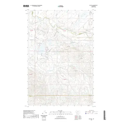 2020 Bald Hill2020 Print · USGSPierce and Thurston counties are captured here in the 2020s, showing a landscape shaped by timber interests and lakefront living. Researchers can trace modern access roads to natural landmarks like Deschutes Falls, Fossil Rock, and the uplan Bald Hill.
 - 2020 Map of Hatchet Mountain, 2020 Print
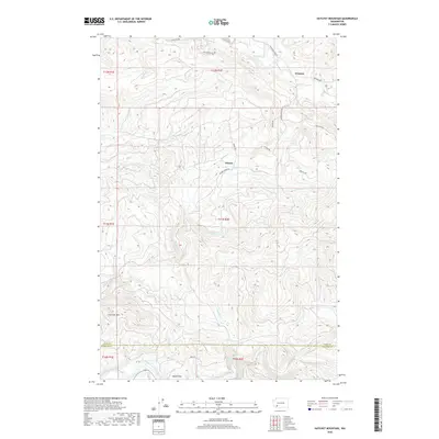 2020 Hatchet Mountain2020 Print · USGSThe Lewis and Cowlitz county borderlands are captured here in the early twenty-first century, showing a region defined by logging roads and river valleys. Researchers can trace the drainages of Salmon Cr and Winston Cr or locate the high point of Hatchet Mtn.
 - 2020 Map of Anderson Lake, 2020 Print
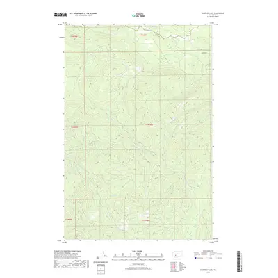 2020 Anderson Lake2020 Print · USGSPierce and Lewis Counties are captured here in the recent decade, showing a landscape defined by high-elevation water bodies and timber-country terrain. Researchers can trace the drainages of the N Fork Mineral Cr and find the National Mill Pond along the Nisqually River.
 - 2020 Map of Chinook Pass, 2020 Print
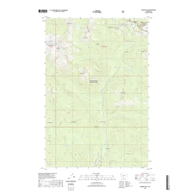 2020 Chinook Pass2020 Print · USGSThe high Cascade crest at Chinook Pass and Cayuse Pass is captured here in modern detail. Hikers and historians can trace the paths of the Pacific Crest National Scenic Trail and Wonderland Trail past Cedar Flats and the Cowlitz Chimneys.
Showing maps 1-25 of 130
Top cities of Lewis County
- Centralia historical maps
- Chehalis historical maps
- Napavine historical maps
- Winlock historical maps
- Packwood historical maps
- Morton historical maps
See more
Frequently asked questions
- What are the different types of historical maps available for Lewis County?
- What is the oldest map of Lewis County?
- Where can I purchase historical maps of Lewis County for my home or office?
- Where can I download high-res historical maps of Lewis County?
- Are there historical topographic maps available for Lewis County?
- Is there historical aerial imagery available for Lewis County?
- Where are historical maps of Lewis County sourced from?