2000s (21st Century) Maps of Snohomish County, Washington
Explore 317 historic maps of Snohomish County from the 2000s (21st Century). These maps offer a rare glimpse into what life looked like during the 2000s — showing old roads, neighborhoods, homes, and landmarks that have changed or disappeared over time.
Whether you're researching your family's past, planning a metal detecting trip, or studying how Snohomish County's landscape evolved across the 2000s, these high-resolution maps are a powerful tool for exploring the history of this region.
- Focus on a specific era: All maps on this page are from the 2000s, giving you a focused view of this time period.
- See what’s changed: Compare century-old streets, trails, and buildings to today's modern landscape using overlays and satellite layers.
- Research with precision: Use these maps for genealogy, historical research, land use analysis, or educational projects.
- View, download, or print: Maps are fully viewable online in high resolution, and can be downloaded or printed for your own records.
Start exploring Snohomish County's history through authentic maps from the 2000s. This is your window into the past.
Snohomish County, WA maps
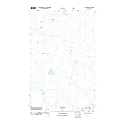
(317)- 2004 Map of Poe Mountain, 2008 Print
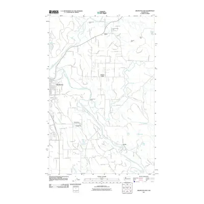
 2004 Poe Mountain2008 Print · USGSThe high Cascades at the turn of the millennium are defined by the convergence of wilderness areas along the Snohomish and Chelan county line. Hikers and historians can trace the Pacific Crest National Scenic Trail as it winds past Indian Pass, Meander Meadow, and the summit of Poe Mountain.
 - 2004 Map of Clark Mountain, 2008 Print
 2004 Clark Mountain2008 Print · USGSThe high Cascades at the turn of the century are defined by the intersection of the Wenatchee and Mt. Baker-Snoqualmie forests. Researchers can trace historic alpine routes through High Pass and Little Giant Pass or study the reach of the Clark Glacier.
 - 2011 Map of Arlington East, 2011 Print
 2011 Arlington East2011 Print · USGSCovers Snohomish County, including Arlington, Trafton, and other nearby areas
 - 2011 Map of Lake Stevens, 2011 Print
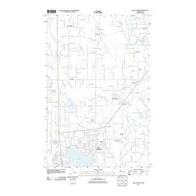 2011 Lake Stevens2011 Print · USGSCovers Snohomish County, including Marysville, Lake Stevens, and other nearby areas
 - 2011 Map of McMurray, 2011 Print
 2011 McMurray2011 Print · USGSCovers Snohomish County, including Big Lake, Pilchuck, and other nearby areas
 - 2011 Map of Tulalip, 2011 Print
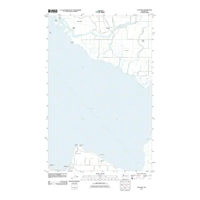
 2011 Tulalip2011 Print · USGSCovers Snohomish County, including Everett, Sunny Shores, and other nearby areas
 - 2011 Map of Stimson Hill, 2011 Print
 2011 Stimson Hill2011 Print · USGSCovers Snohomish County, including Lake Cavanaugh, Cicero, and other nearby areas
 - 2011 Map of Langley, 2011 Print
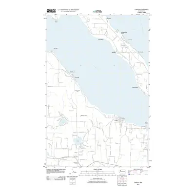 2011 Langley2011 Print · USGSCovers Snohomish County, including Langley, Pebble Beach, and other nearby areas
 - 2011 Map of Marysville, 2011 Print
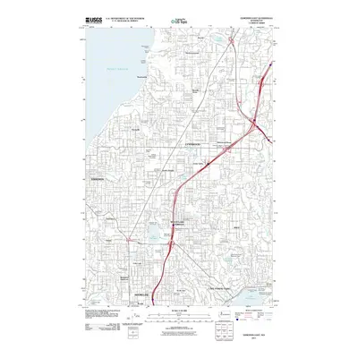
 2011 Marysville2011 Print · USGSCovers Snohomish County, including Everett, Marysville, and other nearby areas
 - 2011 Map of Stanwood, 2011 Print
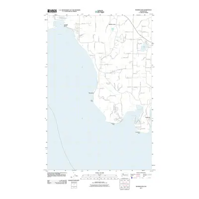
 2011 Stanwood2011 Print · USGSCovers Snohomish County, including Marysville, Stanwood, and other nearby areas
 - 2011 Map of Juniper Beach, 2011 Print
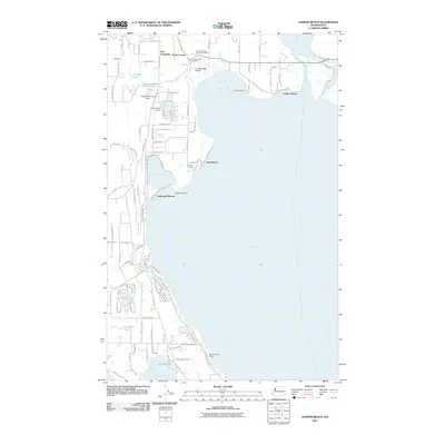 2011 Juniper Beach2011 Print · USGSCovers Snohomish County, including Stanwood, Juniper Beach, and other nearby areas
 - 2011 Map of Granite Falls, 2011 Print
 2011 Granite Falls2011 Print · USGSCovers Snohomish County, including Granite Falls, Canyon Creek, and other nearby areas
 - 2011 Map of Maxwelton, 2011 Print
 2011 Maxwelton2011 Print · USGSCovers Snohomish County, including Maxwelton, Possession, and other nearby areas
 - 2011 Map of Snohomish, 2011 Print
 2011 Snohomish2011 Print · USGSCovers Snohomish County, including Lake Stevens, Monroe, and other nearby areas
 - 2011 Map of Mukilteo, 2011 Print
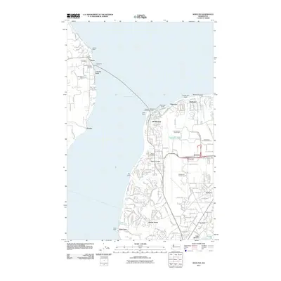 2011 Mukilteo2011 Print · USGSCovers Snohomish County, including Everett, Mukilteo, and other nearby areas
 - 2011 Map of Everett, 2011 Print
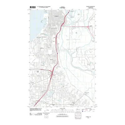 2011 Everett2011 Print · USGSCovers Snohomish County, including Everett, Lake Stevens, and other nearby areas
 - 2011 Map of Edmonds East, 2011 Print
 2011 Edmonds East2011 Print · USGSCovers Snohomish County, including Shoreline, Edmonds, and other nearby areas
 - 2011 Map of Utsalady, 2011 Print
 2011 Utsalady2011 Print · USGSCovers Snohomish County, including Fish Town, Skagit County, and other nearby areas
 - 2011 Map of Fortson, 2011 Print
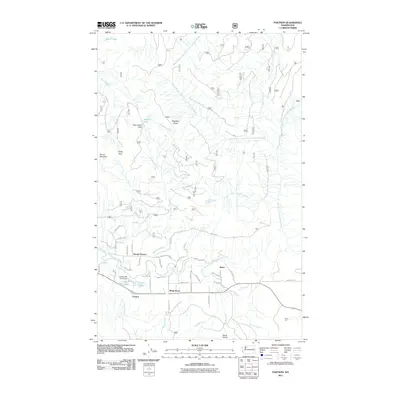 2011 Fortson2011 Print · USGSCovers Snohomish County, including Barco, Fortson, and other nearby areas
 - 2011 Map of Riley Lake, 2011 Print
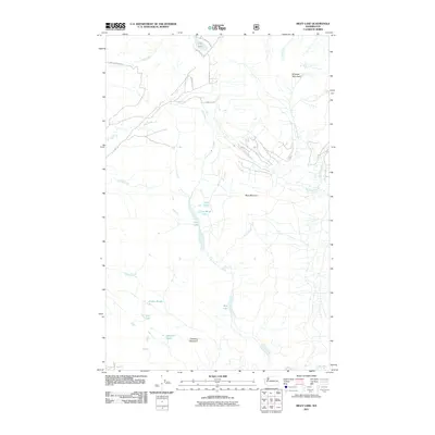 2011 Riley Lake2011 Print · USGSCovers Snohomish County, including United States, Washington, and other nearby areas
 - 2011 Map of Helena Ridge, 2011 Print
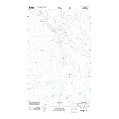 2011 Helena Ridge2011 Print · USGSCovers Snohomish County, including Darrington, United States, and other nearby areas
 - 2011 Map of Darrington, 2011 Print
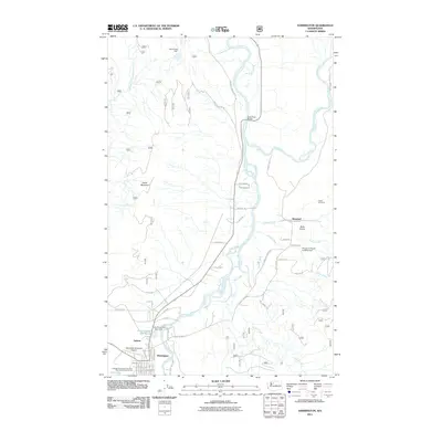 2011 Darrington2011 Print · USGSCovers Snohomish County, including Mansford, Darrington, and other nearby areas
 - 2011 Map of Sloan Peak, 2011 Print
 2011 Sloan Peak2011 Print · USGSCovers Snohomish County, including United States, Washington, and other nearby areas
 - 2011 Map of Glacier Peak East, 2011 Print
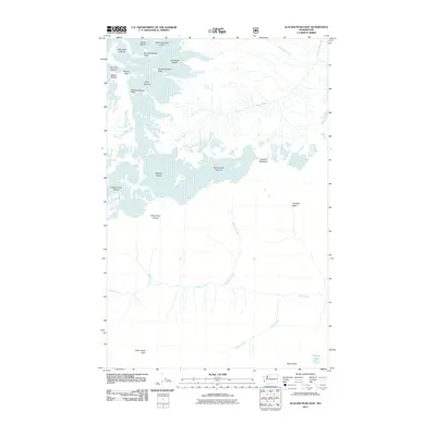 2011 Glacier Peak East2011 Print · USGSCovers Snohomish County, including Chelan County, United States, and other nearby areas
 - 2011 Map of Bedal, 2011 Print
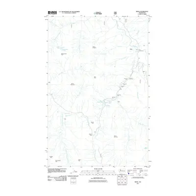 2011 Bedal2011 Print · USGSCovers Snohomish County, including Bedal, United States, and other nearby areas
Showing maps 1-25 of 317
Top cities of Snohomish County
- Everett historical maps
- Marysville historical maps
- Edmonds historical maps
- Lynnwood historical maps
- Lake Stevens historical maps
- Silver Firs historical maps
See more
Frequently asked questions
- What are the different types of historical maps available for Snohomish County?
- What is the oldest map of Snohomish County?
- Where can I purchase historical maps of Snohomish County for my home or office?
- Where can I download high-res historical maps of Snohomish County?
- Are there historical topographic maps available for Snohomish County?
- Is there historical aerial imagery available for Snohomish County?
- Where are historical maps of Snohomish County sourced from?