2020s Maps of Walla Walla County, Washington
Explore 74 historic maps of Walla Walla County from the 2020s. These maps offer a rare glimpse into what life looked like during the 2020s — showing old roads, neighborhoods, homes, and landmarks that have changed or disappeared over time.
Whether you're researching your family's past, planning a metal detecting trip, or studying how Walla Walla County's landscape evolved across the 2020s, these high-resolution maps are a powerful tool for exploring the history of this region.
- Focus on a specific era: All maps on this page are from the 2020s, giving you a focused view of this time period.
- See what’s changed: Compare century-old streets, trails, and buildings to today's modern landscape using overlays and satellite layers.
- Research with precision: Use these maps for genealogy, historical research, land use analysis, or educational projects.
- View, download, or print: Maps are fully viewable online in high resolution, and can be downloaded or printed for your own records.
Start exploring Walla Walla County's history through authentic maps from the 2020s. This is your window into the past.
Walla Walla County, WA maps
(74)- 2020 Map of Clyde, 2020 Print
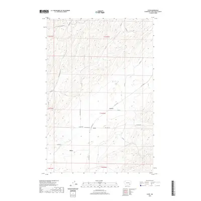 2020 Clyde2020 Print · USGSWalla Walla County's high wheat country is captured here as it appeared recently, centered on the historic settlements of Clyde and Pickard. Researchers can trace the rural landscape across Eureka Flat and locate family landmarks along Lyon's Ferry RD and Magallon RD.
 - 2020 Map of Rulo, 2020 Print
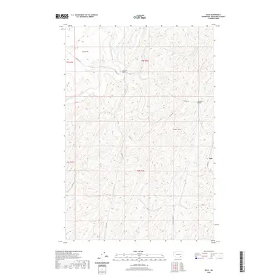 2020 Rulo2020 Print · USGSWalla Walla County agriculture and canyon topography are on full display in this contemporary survey of the eastern Washington interior. Genealogists and local historians can trace family-named routes and landmarks such as Luckenbill Bridge, Rulo, and the broad expanse of Eureka Flat.
 - 2020 Map of Hadley, 2020 Print
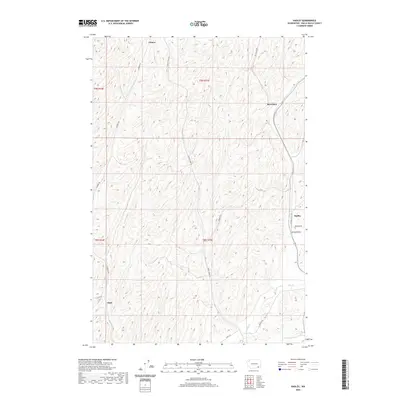 2020 Hadley2020 Print · USGSWalla Walla County's agricultural heartland is captured here in the contemporary era, showing a landscape defined by rolling wheat country and rural crossroads. Local historians can trace the continuity of small settlements like Berryman, Hadley, and Thiel along historical routes like Sudbury Rd.
 - 2020 Map of Buroker, 2020 Print
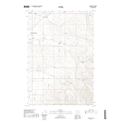 2020 Buroker2020 Print · USGSThe Walla Walla Valley at the start of the 2020s remains a landscape of deep-rooted agricultural history and small rural hubs. Researchers can trace the network of old county roads connecting Sapolil, Buroker, and Harbert, or locate landmarks like Wickersham Bridge.
 - 2020 Map of Touchet, 2020 Print
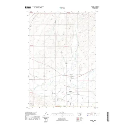 2020 Touchet2020 Print · USGSThe fertile Walla Walla Valley at the turn of the decade is defined by its vital river systems and extensive irrigation networks. Researchers can trace family history along the Touchet River through the namesake town of Touchet and the nearby agricultural community of Gardena.
 - 2020 Map of Lower Monumental Dam, 2020 Print
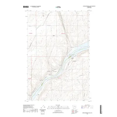 2020 Lower Monumental Dam2020 Print · USGSThe Snake River corridor in the 2020s is dominated by the Lower Monumental Dam and its expansive reservoirs. Researchers can trace the river's path through rugged coulees to find the Lower Monumental State Airport and the small riverside settlement of Windust.
 - 2020 Map of Wallula, 2020 Print
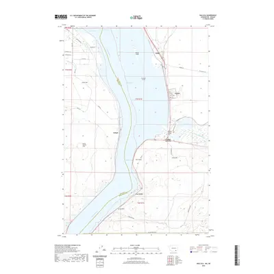 2020 Wallula2020 Print · USGSThe Columbia River corridor near the Washington-Oregon border is shown in detail during the early 21st century. Researchers can trace the riverfront developments at Wallula, follow the rail paths through Attalia, or locate the Madame Dorion Bridge near the mouth of the Walla Walla River.
 - 2020 Map of Snake River, 2020 Print
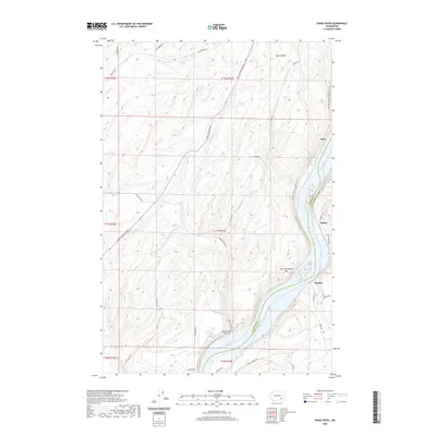 2020 Snake River2020 Print · USGSThe Franklin and Walla Walla county line follows the winding channel of the Snake River during the early twenty-first century. Researchers can trace the river's path past Burr and Sheffler or follow the Columbia Plateau State Park Trail.
 - 2020 Map of Monumental Rock, 2020 Print
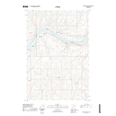 2020 Monumental Rock2020 Print · USGSThe Snake River breaks in the modern era are shown here as the river winds past Monumental Rock along the border of Franklin and Walla Walla counties. Researchers can trace the winding paths of Magallon Rd through the plateaus and locate the settlements of Ruxby and Magallon.
 - 2020 Map of Waitsburg, 2020 Print
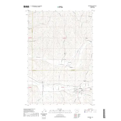 2020 Waitsburg2020 Print · USGSWaitsburg and the surrounding wheat country are shown in high detail during the early twenty-first century. Genealogists and local historians can trace family locations near Bolles, the Independent Order of Odd Fellows Cem, and the winding Touchet River.
 - 2020 Map of Kooskooskie, 2020 Print
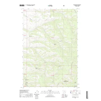 2020 Kooskooskie2020 Print · USGSThe Walla Walla high country comes into focus in the early 21st century, where the settlement of Kooskooskie meets the dense timber of the Umatilla National Forest. Trace the winding paths of Railroad Canyon and the Intake/Deadman Peak Trail across Paradise Ridge.
 - 2020 Map of Page, 2020 Print
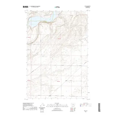 2020 Page2020 Print · USGSWalla Walla County at the start of the 2020s shows a landscape shaped by the Snake River and the agricultural reaches of Eureka Flat. Researchers can trace the path of the Columbia Plateau State Park Trail and find local access points like Fish Hook Rd and Page.
 - 2020 Map of Pleasant View, 2020 Print
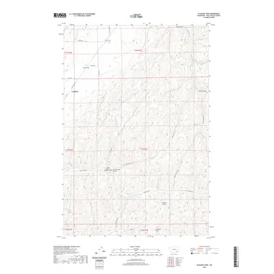 2020 Pleasant View2020 Print · USGSWalla Walla County’s agricultural landscape is captured here in the early twenty-first century, showing the intricate canyon systems of eastern Washington. Local historians can trace family-named landmarks and rural routes through Winnett Canyon, Eureka Flat, and the settlement at Tompkins.
 - 2020 Map of Ayer, 2020 Print
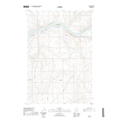 2020 Ayer2020 Print · USGSThe high basalt plateaus of Walla Walla County meet the deep canyon of the Snake River in this modern topographic study. Researchers can trace the river's edge through Lake Herbert G West to the settlements at Ayer and Rifton.
 - 2020 Map of Zangar Junction, 2020 Print
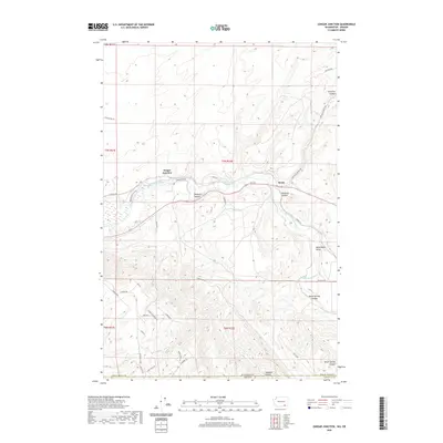 2020 Zangar Junction2020 Print · USGSThe Washington-Oregon borderlands are revealed in this modern survey of the region south of the Walla Walla River. Genealogists and local historians can trace rural routes and family landmarks like Cooper Crossing Rd, Zangar Junction, and the Wallula Horse Trail.
 - 2020 Map of Welland, 2020 Print
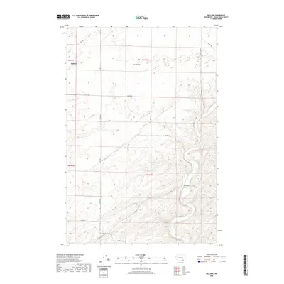 2020 Welland2020 Print · USGSWalla Walla County's dryland farming country is documented here in the early twenty-first century, showing the rural layout around Welland. Researchers can trace old property lines and rural access routes like Luckenbill Rd, Dodd Rd W, and the path of the Touchet River.
 - 2020 Map of College Place, 2020 Print
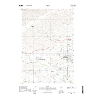 2020 College Place2020 Print · USGSThe Walla Walla Valley at the turn of the decade showcases a landscape defined by collegiate growth and deep historical roots. Genealogists and historians can trace family sites near Mount Hope Cem or explore the grounds of the Whitman Mission National Historic Site and Walla Walla University.
 - 2020 Map of Prescott, 2020 Print
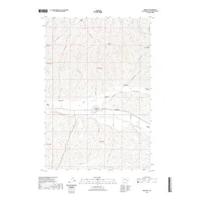 2020 Prescott2020 Print · USGSPrescott and the surrounding Walla Walla County countryside are shown here in the early twenty-first century as the valley remains defined by its deep canyons and river routes. Family historians can locate Ivy Cem and trace the lands around Robinson or the high Skyrocket Hills.
 - 2020 Map of Dixie, 2020 Print
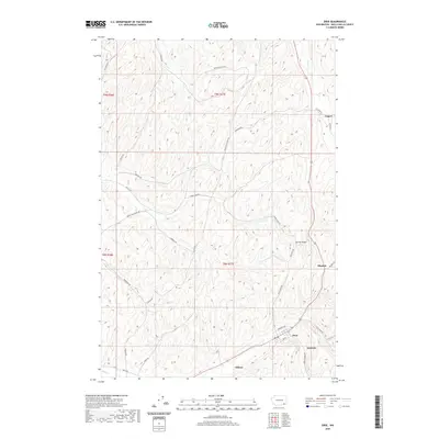 2020 Dixie2020 Print · USGSWalla Walla County's agricultural heartland is documented here in the 2020s, showing the enduring rural layout of the region. Researchers can trace family-named landmarks and small community hubs like Dixie, Gilliam, and the winding course of Coppei Cr.
 - 2020 Map of Levey, 2020 Print
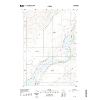 2020 Levey2020 Print · USGSThe Snake River shoreline in Franklin and Walla Walla counties is captured here in the early twenty-first century. Researchers can trace riverside settlements at Levey, Redd, and Ash or follow the path of the Columbia Plateau State Park Trail.
 - 2020 Map of Walla Walla, 2020 Print
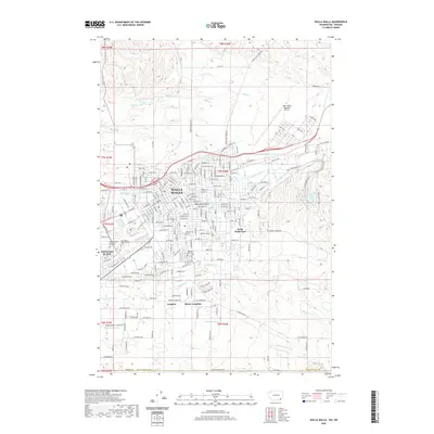 2020 Walla Walla2020 Print · USGSThe Walla Walla Valley in the 2020s shows a landscape where historic military sites and college campuses meet modern irrigation and infrastructure. Researchers can trace the grounds of Whitman College, Fort Walla Walla Military Gardens, and Walla Walla Military Cem.
 - 2020 Map of Elwood, 2020 Print
 2020 Elwood2020 Print · USGSWalla Walla County’s agricultural highlands and the river breaks of the Snake River are detailed here in the 2020s. Researchers can trace rural land divisions along Eureka Flat and follow old local routes like Scott Station Rd and Wooden Rd.
 - 2020 Map of Eureka, 2020 Print
 2020 Eureka2020 Print · USGSWalla Walla County agriculture and canyonlands are documented here in 2020. Local researchers can trace the roads and homestead sites surrounding Eureka, Lee, and Babcock, or follow the Touchet River as it passes near Lamar.
 - 2020 Map of Valley Grove, 2020 Print
 2020 Valley Grove2020 Print · USGSThe rural agricultural landscapes of Walla Walla County come to life in this modern-era study of its small settlements and winding country roads. Genealogists and local historians can trace family-named routes like Russell Springs Rd and Bergevin Springs Rd near Valley Grove.
 - 2020 Map of Huntsville, 2020 Print
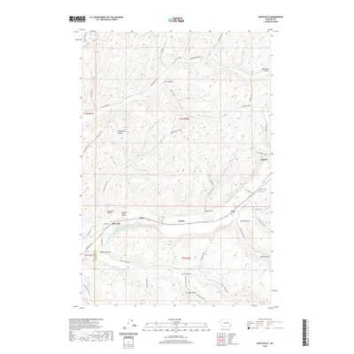 2020 Huntsville2020 Print · USGSColumbia and Walla Walla counties are revealed here in the modern era, where the river valley and its steep hollows shape local life. You can trace early settlement roots at Pioneer Cem and explore the industrial landscape near Huntsville and the Dayton Lumber Company Mill Pond.
Showing maps 1-25 of 74
Top cities of Walla Walla County
- Walla Walla historical maps
- College Place historical maps
- Burbank historical maps
- Waitsburg historical maps
- Prescott historical maps
Frequently asked questions
- What are the different types of historical maps available for Walla Walla County?
- What is the oldest map of Walla Walla County?
- Where can I purchase historical maps of Walla Walla County for my home or office?
- Where can I download high-res historical maps of Walla Walla County?
- Are there historical topographic maps available for Walla Walla County?
- Is there historical aerial imagery available for Walla Walla County?
- Where are historical maps of Walla Walla County sourced from?