2000s (21st Century) Maps of Walla Walla County, Washington
Explore 185 historic maps of Walla Walla County from the 2000s (21st Century). These maps offer a rare glimpse into what life looked like during the 2000s — showing old roads, neighborhoods, homes, and landmarks that have changed or disappeared over time.
Whether you're researching your family's past, planning a metal detecting trip, or studying how Walla Walla County's landscape evolved across the 2000s, these high-resolution maps are a powerful tool for exploring the history of this region.
- Focus on a specific era: All maps on this page are from the 2000s, giving you a focused view of this time period.
- See what’s changed: Compare century-old streets, trails, and buildings to today's modern landscape using overlays and satellite layers.
- Research with precision: Use these maps for genealogy, historical research, land use analysis, or educational projects.
- View, download, or print: Maps are fully viewable online in high resolution, and can be downloaded or printed for your own records.
Start exploring Walla Walla County's history through authentic maps from the 2000s. This is your window into the past.
Walla Walla County, WA maps
(185)- 2011 Map of Welland, 2011 Print
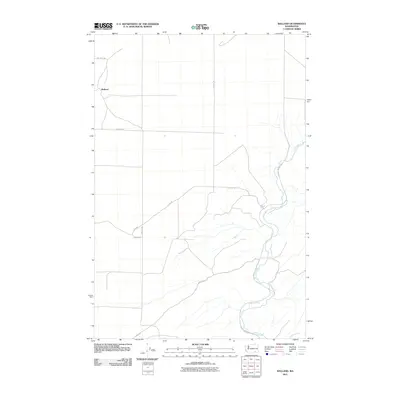 2011 Welland2011 Print · USGSWalla Walla County in the early twenty-first century is captured here through its agricultural road networks and river corridors. Genealogists and researchers can trace local land routes like Gluck Rd and Dodd Rd near the banks of the Touchet River.
 - 2011 Map of Dixie, 2011 Print
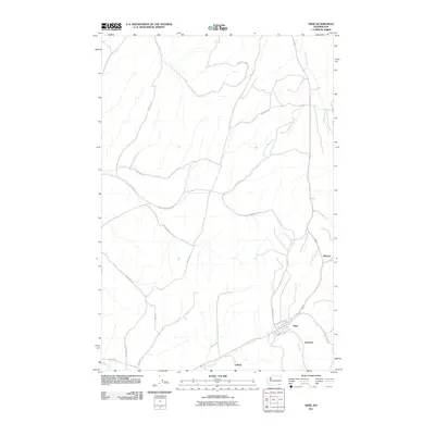 2011 Dixie2011 Print · USGSWalla Walla County's agricultural valleys are documented here in the early 21st century, centered on the community of Dixie. Researchers can trace old family land routes like Stonecipher Rd and find rural hubs including Eastman, Gilliam, and Minnick.
 - 2011 Map of Rulo, 2011 Print
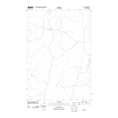 2011 Rulo2011 Print · USGSWalla Walla County's agricultural interior is documented here during the early twenty-first century. Researchers can trace the drainage of the Touchet River and identify local family-named landmarks like the Luckenbill Bridge and the hamlet of Rulo.
 - 2011 Map of Harsha, 2011 Print
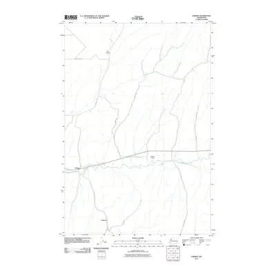 2011 Harsha2011 Print · USGSIn this corner of southeastern Washington during the early twenty-first century, the river valley dictates the pace of rural life. Genealogists and local researchers can trace family-named routes such as Pettyjohn Rd and Mcfeely Rd near the settlements of Harsha and Paddock.
 - 2011 Map of Prescott, 2011 Print
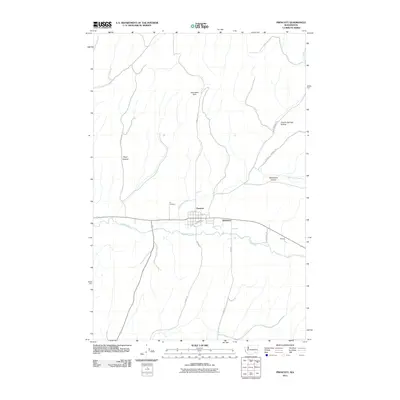 2011 Prescott2011 Print · USGSWalla Walla County's wheat country is captured here in the early twenty-first century, centered on the historic town of Prescott. Genealogists and local historians can trace the rural landscape from Ivy Cemetery to the small settlements of Robinson and McCall.
 - 2011 Map of Coppei, 2011 Print
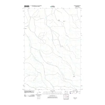 2011 Coppei2011 Print · USGSWalla Walla County's rural creek valleys are captured here in the early twenty-first century, showing the enduring agricultural and transport patterns of the region. Researchers can locate family landmarks such as the Bundy Hollow Cemetery or trace the winding courses of Whisky Creek and Coppei Creek.
 - 2011 Map of Waitsburg NW, 2011 Print
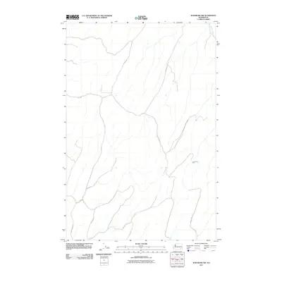 2011 Waitsburg NW2011 Print · USGSWalla Walla County's high hills and deep draws are mapped here in the early twenty-first century, showing the enduring rural layout of eastern Washington. Genealogists can trace family-named routes like Barger Rd, Powers Rd, and the location of Lost Springs Ranch.
 - 2011 Map of Huntsville, 2011 Print
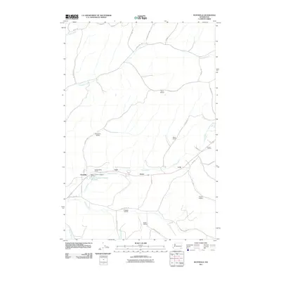 2011 Huntsville2011 Print · USGSThe Touchet River valley in Columbia County is shown here during a period of modern agricultural and industrial use. Genealogists and local historians can locate Pioneer Cemetery and industrial sites like the Dayton Lumber Company Mill Dam near Huntsville.
 - 2011 Map of Monumental Rock, 2011 Print
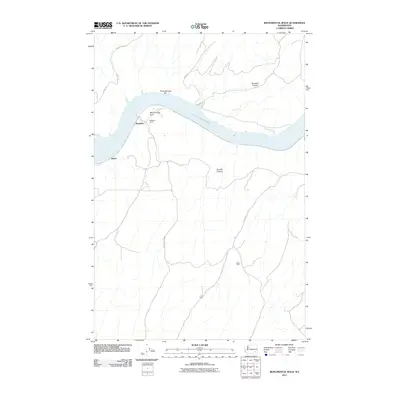 2011 Monumental Rock2011 Print · USGSWalla Walla County's riverfront and plateau lands are captured here in the early twenty-first century along the Snake River. Researchers can trace rural property footprints at Magallon Ranch and Hair Farm or locate landmarks like Monumental Rock.
 - 2011 Map of Ayer, 2011 Print
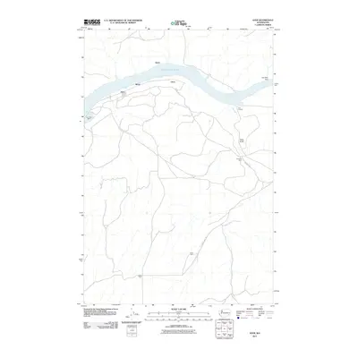 2011 Ayer2011 Print · USGSWalla Walla County's riverfront and agricultural uplands are captured here in the decade following the millennium. Genealogists and local historians can trace family landholdings like Baker Farm and De Ruwe Farm near the shores of Lake Herbert G West.
 - 2011 Map of Levey, 2011 Print
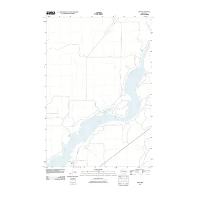 2011 Levey2011 Print · USGSThe banks of Lake Sacajawea and the plateau heights of Franklin County are captured here in the early twenty-first century. Researchers can trace rural settlements like Redd, Levey, and Ash alongside arterial routes such as Page Rd.
 - 2011 Map of Pleasant View, 2011 Print
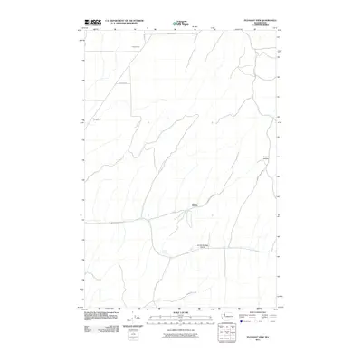 2011 Pleasant View2011 Print · USGSThe rural uplands of Walla Walla County are captured here in the early twenty-first century, showing a landscape defined by deep draws and springs. Local researchers can trace family-named routes like Tomkins Rd and Piper Canyon Rd near Smith Springs.
 - 2011 Map of Humorist, 2011 Print
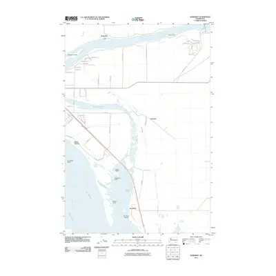 2011 Humorist2011 Print · USGSThe confluence of the Snake and Columbia Rivers is captured here in the early twenty-first century, showing a landscape defined by massive water projects and river transit. You can trace the development of small settlements like Martindale and Humorist, or locate landmarks such as the Ice Harbor Lock and Dam and Villard Junction.
 - 2011 Map of Levey SW, 2011 Print
 2011 Levey SW2011 Print · USGSFranklin County's agricultural landscape and the Snake River corridor are captured here in the early twenty-first century. Researchers can trace rural property access and regional infrastructure like the Ice Harbor Lock and Dam, Lake Sacajawea, and Carr Airport.
 - 2011 Map of Eureka, 2011 Print
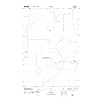 2011 Eureka2011 Print · USGSWalla Walla County's agricultural heartland is documented here in the early twenty-first century, showing the rural landscape around the Touchet River. Genealogists and local historians can trace the small settlements of Eureka, Babcock, and Lamar.
 - 2011 Map of Clyde, 2011 Print
 2011 Clyde2011 Print · USGSWalla Walla County agricultural lands are captured here in the early twenty-first century, showing a high-plains landscape of large holdings and rural road networks. Genealogists and local historians can trace the vicinity of Clyde, Reser, and Pickard along the path of Lyons Ferry Rd.
 - 2011 Map of Hadley, 2011 Print
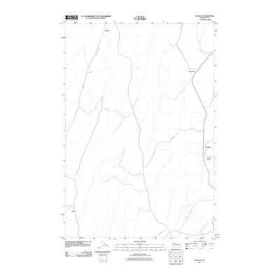 2011 Hadley2011 Print · USGSSoutheastern Washington at the turn of the decade reveals a rural landscape defined by historic agricultural settlements and winding creek beds. Genealogists and local historians can trace the positions of Climax, Berryman, and Spring Valley along the network of Sudbury Rd.
 - 2011 Map of Page, 2011 Print
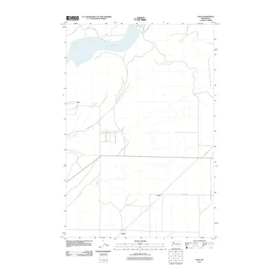 2011 Page2011 Print · USGSWalla Walla County in the early twenty-first century shows a landscape shaped by the Snake River and rural expansion. Trace the settlement patterns around Lake Sacajawea and the crossroads at Hatch and Adkins.
 - 2011 Map of Lower Monumental Dam, 2011 Print
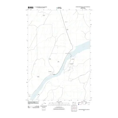 2011 Lower Monumental Dam2011 Print · USGSThe Snake River canyon near Windust is seen here just after the first decade of the new millennium. Researchers can trace the riverbank rail routes and infrastructure around Lower Monumental Dam, Lower Monumental State Airport, and the settlement of Farrington.
 - 2011 Map of Elwood, 2011 Print
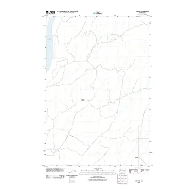 2011 Elwood2011 Print · USGSElwood and the surrounding Walla Walla County uplands are captured here in the early twenty-first century. Researchers can trace the rural road network and family-named routes like Wooden Rd and Harsell Rd near the waters of Lake Sacajawea.
 - 2011 Map of Valley Grove, 2011 Print
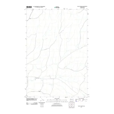 2011 Valley Grove2011 Print · USGSWalla Walla County's agricultural heartland is documented here in the early twenty-first century, showing the small settlements and family-named roads that define the region. Trace local history through Valley Grove, the settlement at Russell, and the course of Dry Creek.
 - 2011 Map of Snake River, 2011 Print
 2011 Snake River2011 Print · USGSThe Snake River corridor in Franklin County is captured here in the early twenty-first century as it winds through a landscape of deep canyons and plateau settlements. Genealogists and local historians can trace rural networks around Burr, Sheffler, and the rails at Snake River Junction.
 - 2011 Map of Starbuck West, 2011 Print
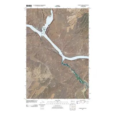 2011 Starbuck West2011 Print · USGSSoutheast Washington’s river landscape is documented here in the early twenty-first century as the Tucannon and Palouse meet the Snake. Researchers can trace the townsite of Starbuck, family landmarks like Tucker Farm, and the archaeological site at Marmes Rock Shelter.
 - 2011 Map of Waitsburg, 2011 Print
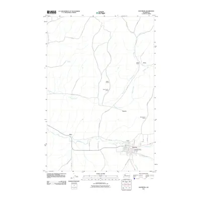 2011 Waitsburg2011 Print · USGSWaitsburg and the surrounding Walla Walla County countryside are shown in detail during the early 2000s. Researchers can locate family landmarks at the Independent Order of Odd Fellows Cemetery or trace old routes through Bolles and Whoopemup Hollow.
 - 2011 Map of Slater, 2011 Print
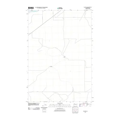 2011 Slater2011 Print · USGSWalla Walla County's rural interior is documented here during the early 2010s, showing the settled landscape near the Snake River. Researchers can trace the layout of Slater and Le Grow alongside regional routes like Adkins Rd and Dodd Rd.
Showing maps 1-25 of 185
Top cities of Walla Walla County
- Walla Walla historical maps
- College Place historical maps
- Burbank historical maps
- Waitsburg historical maps
- Prescott historical maps
Frequently asked questions
- What are the different types of historical maps available for Walla Walla County?
- What is the oldest map of Walla Walla County?
- Where can I purchase historical maps of Walla Walla County for my home or office?
- Where can I download high-res historical maps of Walla Walla County?
- Are there historical topographic maps available for Walla Walla County?
- Is there historical aerial imagery available for Walla Walla County?
- Where are historical maps of Walla Walla County sourced from?