2020s Maps of Yakima County, Washington
Explore 218 historic maps of Yakima County from the 2020s. These maps offer a rare glimpse into what life looked like during the 2020s — showing old roads, neighborhoods, homes, and landmarks that have changed or disappeared over time.
Whether you're researching your family's past, planning a metal detecting trip, or studying how Yakima County's landscape evolved across the 2020s, these high-resolution maps are a powerful tool for exploring the history of this region.
- Focus on a specific era: All maps on this page are from the 2020s, giving you a focused view of this time period.
- See what’s changed: Compare century-old streets, trails, and buildings to today's modern landscape using overlays and satellite layers.
- Research with precision: Use these maps for genealogy, historical research, land use analysis, or educational projects.
- View, download, or print: Maps are fully viewable online in high resolution, and can be downloaded or printed for your own records.
Start exploring Yakima County's history through authentic maps from the 2020s. This is your window into the past.
Yakima County, WA maps
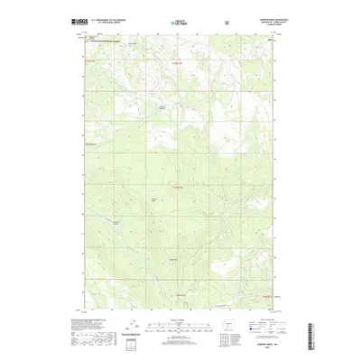
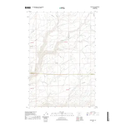
(218)- 2020 Map of Mount Adams East, 2020 Print
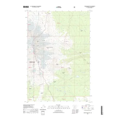 2020 Mount Adams East2020 Print · USGSCovers Yakima County, including United States, Washington, and other nearby areas
 - 2020 Map of Goose Prairie, 2020 Print
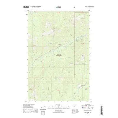 2020 Goose Prairie2020 Print · USGSCovers Yakima County, including Goose Prairie, United States, and other nearby areas
 - 2020 Map of Windy Point, 2020 Print
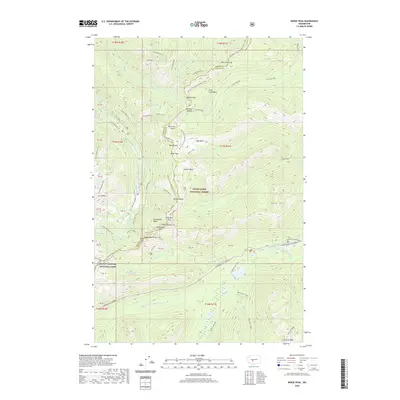
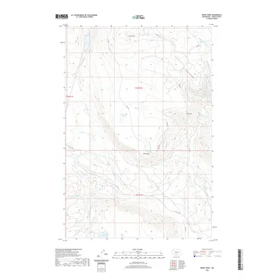 2020 Windy Point2020 Print · USGSCovers Yakima County, including United States, Washington, and other nearby areas
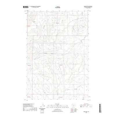
 - 2020 Map of Lost Horse Plateau, 2020 Print
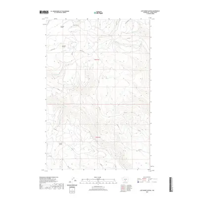 2020 Lost Horse Plateau2020 Print · USGSCovers Yakima County, including United States, Washington, and other nearby areas
 - 2020 Map of Fairview Ridge, 2020 Print
 2020 Fairview Ridge2020 Print · USGSCovers Yakima County, including United States, Washington, and other nearby areas
 - 2020 Map of Castile Falls, 2020 Print
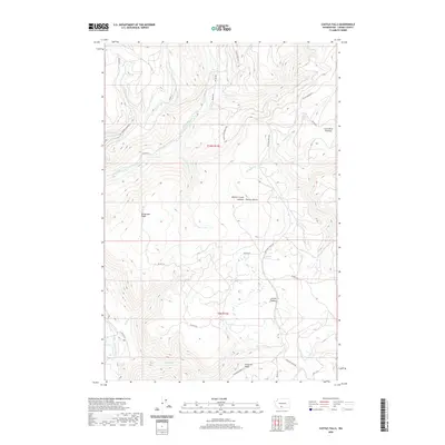 2020 Castile Falls2020 Print · USGSCovers Yakima County, including United States, Washington, and other nearby areas
 - 2020 Map of Outlet Falls, 2020 Print
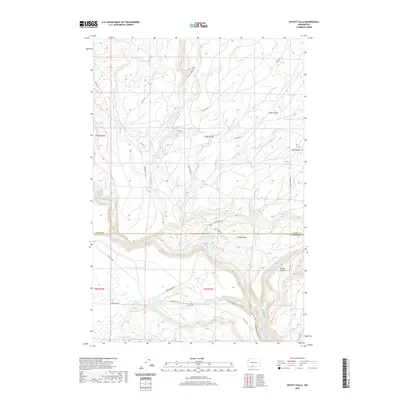 2020 Outlet Falls2020 Print · USGSCovers Yakima County, including Klickitat County, United States, and other nearby areas
 - 2020 Map of Glenwood, 2020 Print
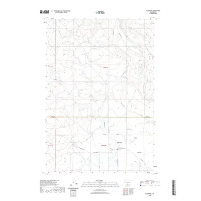 2020 Glenwood2020 Print · USGSCovers Yakima County, including Glenwood, Klickitat County, and other nearby areas
 - 2020 Map of Emerson Nipple, 2020 Print
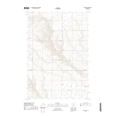
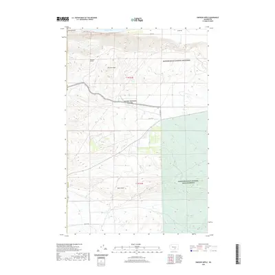 2020 Emerson Nipple2020 Print · USGSCovers Yakima County, including Benton County, United States, and other nearby areas
 - 2020 Map of Grandview, 2020 Print
 2020 Grandview2020 Print · USGSCovers Yakima County, including Sunnyside, Grandview, and other nearby areas
 - 2020 Map of Bumping Lake, 2020 Print
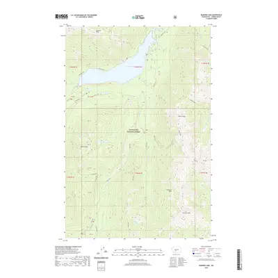 2020 Bumping Lake2020 Print · USGSCovers Yakima County, including United States, Washington, and other nearby areas
 - 2020 Map of White Pass, 2020 Print
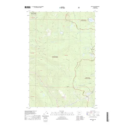 2020 White Pass2020 Print · USGSCovers Yakima County, including Lewis County, United States, and other nearby areas
 - 2020 Map of Norse Peak, 2020 Print
 2020 Norse Peak2020 Print · USGSCovers Yakima County, including Pierce County, United States, and other nearby areas
 - 2020 Map of Priest Rapids NE, 2020 Print
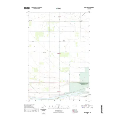 2020 Priest Rapids NE2020 Print · USGSCovers Yakima County, including Mattawa, Benton County, and other nearby areas
 - 2020 Map of Walupt Lake, 2020 Print
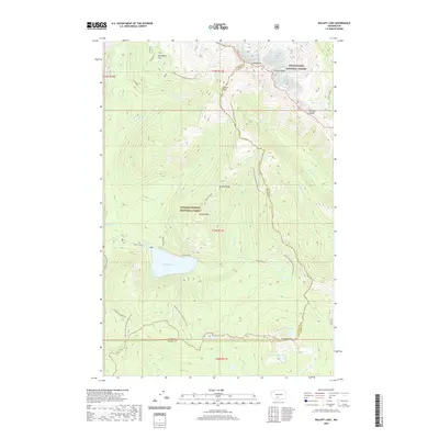 2020 Walupt Lake2020 Print · USGSCovers Yakima County, including Lewis County, United States, and other nearby areas
 - 2020 Map of Prosser SW, 2020 Print
 2020 Prosser SW2020 Print · USGSCovers Yakima County, including Klickitat County, United States, and other nearby areas
 - 2020 Map of Cairn Hope Peak, 2020 Print
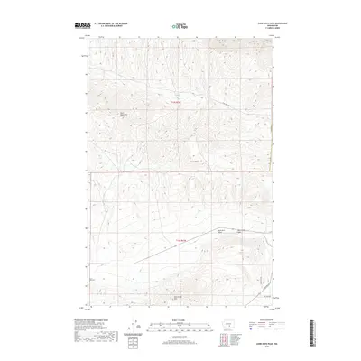 2020 Cairn Hope Peak2020 Print · USGSCovers Yakima County, including Benton County, United States, and other nearby areas
 - 2020 Map of Old Snowy Mountain, 2020 Print
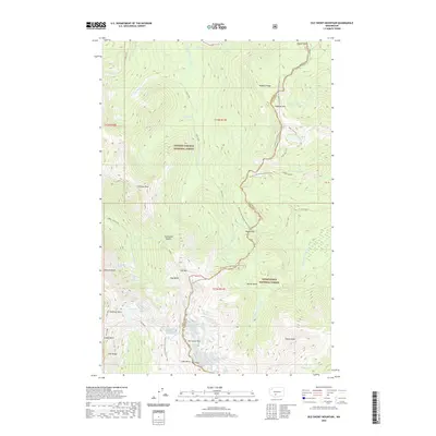 2020 Old Snowy Mountain2020 Print · USGSCovers Yakima County, including Lewis County, United States, and other nearby areas
 - 2020 Map of Signal Peak, 2020 Print
 2020 Signal Peak2020 Print · USGSCovers Yakima County, including United States, Washington, and other nearby areas
 - 2020 Map of Cougar Lake, 2020 Print
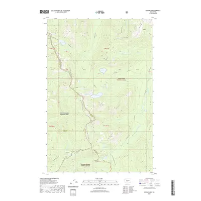 2020 Cougar Lake2020 Print · USGSCovers Yakima County, including Pierce County, Lewis County, and other nearby areas
 - 2020 Map of Poland Butte, 2020 Print
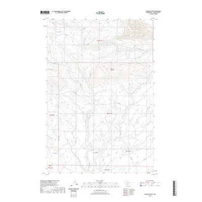 2020 Poland Butte2020 Print · USGSCovers Yakima County, including United States, Washington, and other nearby areas
 - 2020 Map of Priest Rapids, 2020 Print
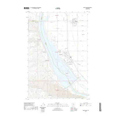 2020 Priest Rapids2020 Print · USGSCovers Yakima County, including Mattawa, Desert Aire, and other nearby areas
 - 2020 Map of Sulphur Spring, 2020 Print
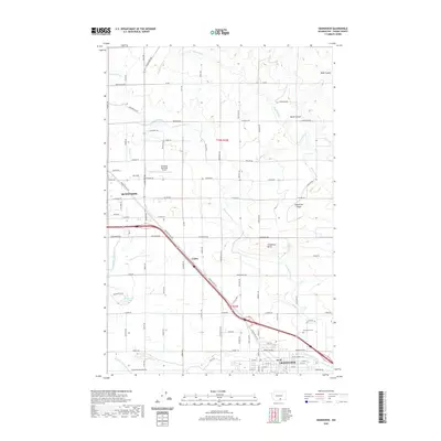
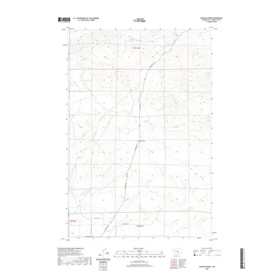 2020 Sulphur Spring2020 Print · USGSCovers Yakima County, including United States, Washington, and other nearby areas
 - 2020 Map of Darland Mountain, 2020 Print
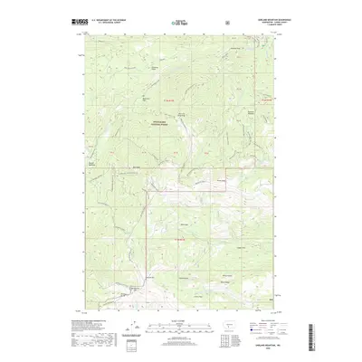 2020 Darland Mountain2020 Print · USGSCovers Yakima County, including United States, Washington, and other nearby areas
 - 2020 Map of Twin Buttes, 2020 Print
 2020 Twin Buttes2020 Print · USGSCovers Yakima County, including Klickitat County, United States, and other nearby areas
Showing maps 1-25 of 218
Top cities of Yakima County
- Yakima historical maps
- Sunnyside historical maps
- Grandview historical maps
- Toppenish historical maps
- Selah historical maps
- Union Gap historical maps
See more
Frequently asked questions
- What are the different types of historical maps available for Yakima County?
- What is the oldest map of Yakima County?
- Where can I purchase historical maps of Yakima County for my home or office?
- Where can I download high-res historical maps of Yakima County?
- Are there historical topographic maps available for Yakima County?
- Is there historical aerial imagery available for Yakima County?
- Where are historical maps of Yakima County sourced from?