2000s (21st Century) Maps of Logan County, West Virginia
Explore 80 historic maps of Logan County from the 2000s (21st Century). These maps offer a rare glimpse into what life looked like during the 2000s — showing old roads, neighborhoods, homes, and landmarks that have changed or disappeared over time.
Whether you're researching your family's past, planning a metal detecting trip, or studying how Logan County's landscape evolved across the 2000s, these high-resolution maps are a powerful tool for exploring the history of this region.
- Focus on a specific era: All maps on this page are from the 2000s, giving you a focused view of this time period.
- See what’s changed: Compare century-old streets, trails, and buildings to today's modern landscape using overlays and satellite layers.
- Research with precision: Use these maps for genealogy, historical research, land use analysis, or educational projects.
- View, download, or print: Maps are fully viewable online in high resolution, and can be downloaded or printed for your own records.
Start exploring Logan County's history through authentic maps from the 2000s. This is your window into the past.
Logan County, WV maps
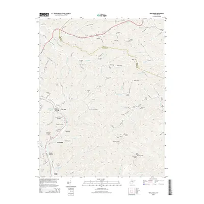
(80)- 2010 Map of Chapmanville, 2010 Print
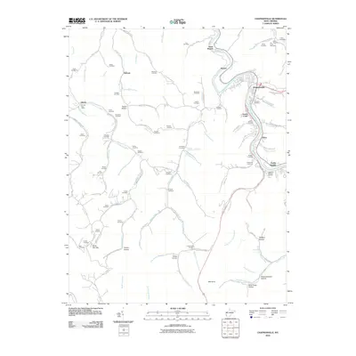 2010 Chapmanville2010 Print · USGSCovers Logan County, including Chapmanville, Godby Heights, and other nearby areas
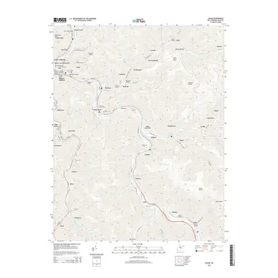
 - 2010 Map of Holden, 2010 Print
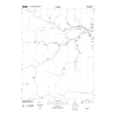 2010 Holden2010 Print · USGSCovers Logan County, including Holden, Verdunville, and other nearby areas
 - 2010 Map of Myrtle, 2010 Print
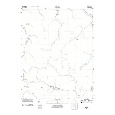
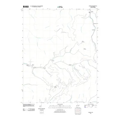
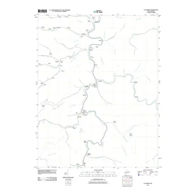
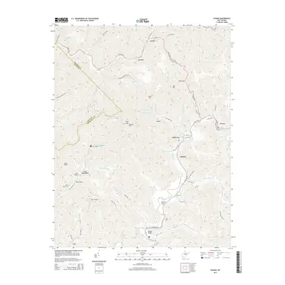
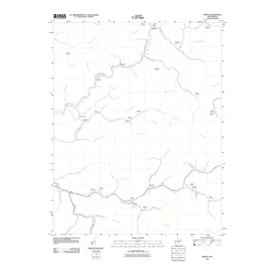 2010 Myrtle2010 Print · USGSCovers Logan County, including Belo, Myrtle, and other nearby areas
 - 2011 Map of Pilot Knob, 2011 Print
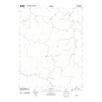
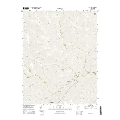
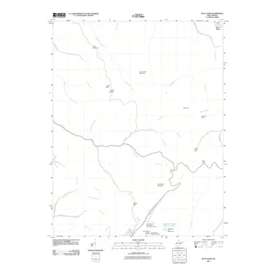 2011 Pilot Knob2011 Print · USGSCovers Logan County, including Pettry Bottom, Raleigh County, and other nearby areas
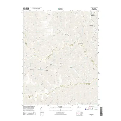
 - 2011 Map of Man, 2011 Print
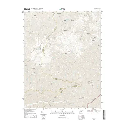
 2011 Man2011 Print · USGSCovers Logan County, including Man, Sarah Ann, and other nearby areas
 - 2011 Map of Logan, 2011 Print
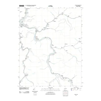 2011 Logan2011 Print · USGSCovers Logan County, including Logan, Switzer, and other nearby areas
 - 2011 Map of Amherstdale, 2011 Print
 2011 Amherstdale2011 Print · USGSCovers Logan County, including Man, Accoville, and other nearby areas
 - 2011 Map of Mallory, 2011 Print
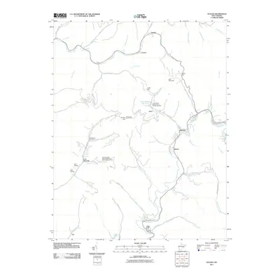
 2011 Mallory2011 Print · USGSCovers Logan County, including Mallory, Man, and other nearby areas
 - 2011 Map of Oceana, 2011 Print
 2011 Oceana2011 Print · USGSCovers Logan County, including Oceana, Cyclone, and other nearby areas
 - 2011 Map of Lorado, 2011 Print
 2011 Lorado2011 Print · USGSCovers Logan County, including Amherstdale-Robinette, Bald Knob, and other nearby areas
 - 2011 Map of Big Creek, 2011 Print
 2011 Big Creek2011 Print · USGSCovers Logan County, including Toney, Banco, and other nearby areas
 - 2011 Map of Henlawson, 2011 Print
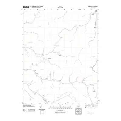
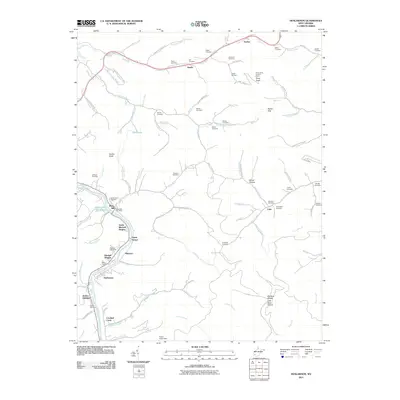 2011 Henlawson2011 Print · USGSCovers Logan County, including Henlawson, Justice Addition, and other nearby areas
 - 2011 Map of Trace, 2011 Print
 2011 Trace2011 Print · USGSCovers Logan County, including McCloud, Kirk, and other nearby areas
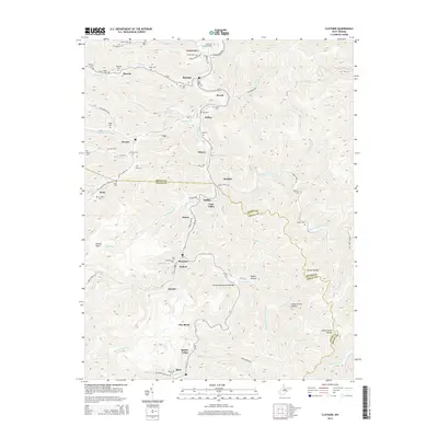
 - 2011 Map of Clothier, 2011 Print
 2011 Clothier2011 Print · USGSCovers Logan County, including Dobra, Monclo, and other nearby areas
 - 2011 Map of Barnabus, 2011 Print
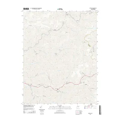
 2011 Barnabus2011 Print · USGSCovers Logan County, including Pie, Oilville, and other nearby areas
 - 2011 Map of Mud, 2011 Print
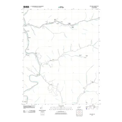
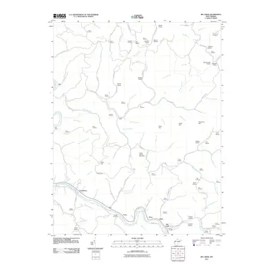
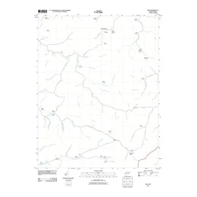 2011 Mud2011 Print · USGSCovers Logan County, including Cameo, Estep, and other nearby areas
 - 2014 Map of Pilot Knob, 2014 Print
 2014 Pilot Knob2014 Print · USGSCovers Logan County, including Pettry Bottom, Raleigh County, and other nearby areas
 - 2014 Map of Henlawson, 2014 Print
 2014 Henlawson2014 Print · USGSCovers Logan County, including Henlawson, Justice Addition, and other nearby areas
 - 2014 Map of Logan, 2014 Print
 2014 Logan2014 Print · USGSCovers Logan County, including Logan, Switzer, and other nearby areas
 - 2014 Map of Lorado, 2014 Print
 2014 Lorado2014 Print · USGSCovers Logan County, including Amherstdale-Robinette, Bald Knob, and other nearby areas
 - 2014 Map of Clothier, 2014 Print
 2014 Clothier2014 Print · USGSCovers Logan County, including Dobra, Monclo, and other nearby areas
 - 2014 Map of Amherstdale, 2014 Print
 2014 Amherstdale2014 Print · USGSCovers Logan County, including Man, Accoville, and other nearby areas
 - 2014 Map of Oceana, 2014 Print
 2014 Oceana2014 Print · USGSCovers Logan County, including Oceana, Cyclone, and other nearby areas
 - 2014 Map of Mud, 2014 Print
 2014 Mud2014 Print · USGSCovers Logan County, including Cameo, Estep, and other nearby areas
 - 2014 Map of Myrtle, 2014 Print
 2014 Myrtle2014 Print · USGSCovers Logan County, including Belo, Myrtle, and other nearby areas
Showing maps 1-25 of 80
Top cities of Logan County
- Mallory historical maps
- Logan historical maps
- Chapmanville historical maps
- Holden historical maps
- Man historical maps
- Accoville historical maps
See more
Frequently asked questions
- What are the different types of historical maps available for Logan County?
- What is the oldest map of Logan County?
- Where can I purchase historical maps of Logan County for my home or office?
- Where can I download high-res historical maps of Logan County?
- Are there historical topographic maps available for Logan County?
- Is there historical aerial imagery available for Logan County?
- Where are historical maps of Logan County sourced from?