2010s Maps of Marion County, West Virginia
Explore 44 historic maps of Marion County from the 2010s. These maps offer a rare glimpse into what life looked like during the 2010s — showing old roads, neighborhoods, homes, and landmarks that have changed or disappeared over time.
Whether you're researching your family's past, planning a metal detecting trip, or studying how Marion County's landscape evolved across the 2010s, these high-resolution maps are a powerful tool for exploring the history of this region.
- Focus on a specific era: All maps on this page are from the 2010s, giving you a focused view of this time period.
- See what’s changed: Compare century-old streets, trails, and buildings to today's modern landscape using overlays and satellite layers.
- Research with precision: Use these maps for genealogy, historical research, land use analysis, or educational projects.
- View, download, or print: Maps are fully viewable online in high resolution, and can be downloaded or printed for your own records.
Start exploring Marion County's history through authentic maps from the 2010s. This is your window into the past.
Marion County, WV maps
(44)- 2011 Map of Gladesville, 2011 Print
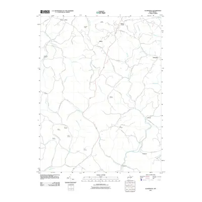 2011 Gladesville2011 Print · USGSPreston County's rural hills and valleys come into focus in this recent survey, showcasing a landscape of high ridges and deep stream basins. Genealogists and local historians can trace family locations through numerous sites like Summers Cemetery, Browns Chapel, and the community of Victoria.
 - 2011 Map of Mannington, 2011 Print
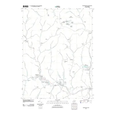 2011 Mannington2011 Print · USGSThe industrial heart of Marion County is captured here in the early twenty-first century, centered on the historic town of Mannington. Genealogists and researchers can trace family names at Ammons Cemetery and Toothman Cemetery, or locate the specific operations of Consol Number 9.
 - 2011 Map of Hundred, 2011 Print
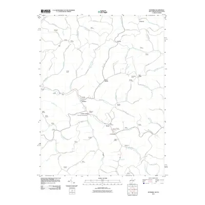 2011 Hundred2011 Print · USGSWetzel County's rugged ridge country and creek valleys are captured here at the start of the 21st century. Researchers can trace numerous family burial sites like McNicholas Cemetery and locate landmarks such as the Fish Creek Covered Bridge.
 - 2011 Map of Glover Gap, 2011 Print
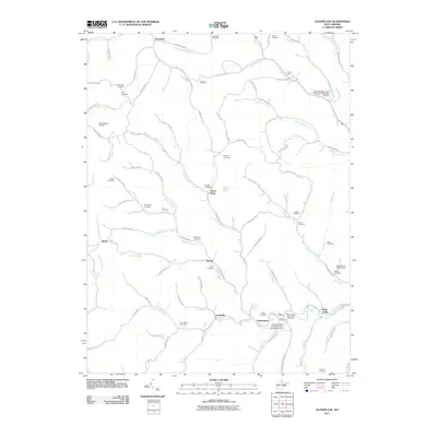 2011 Glover Gap2011 Print · USGSMarion County's rural hollows are captured here in the early twenty-first century, showing a landscape shaped by narrow runs and family legacies. Genealogists can trace dozens of burial sites like Mannington Memorial Cemetery and the Snider Cemetery near Curtisville.
 - 2011 Map of Rivesville, 2011 Print
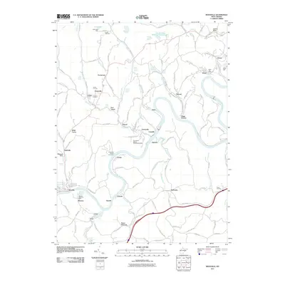 2011 Rivesville2011 Print · USGSMarion and Monongalia counties are shown during a period of industrial land management along the Monongahela River. Researchers can trace local lineage through the Snider Cemetery and Prickett Cemetery or locate historical hubs like Everettville and Rivesville.
 - 2011 Map of Wallace, 2011 Print
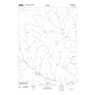 2011 Wallace2011 Print · USGSIn this corner of northern West Virginia, small communities like Wallace and Brown are tied together by a dense network of country roads and winding creeks. Genealogists can locate numerous burial sites including the Independent Order of Oddfellows Cemetery, Swiger Cemetery, and Rittenhouse Cemetery.
 - 2011 Map of Grant Town, 2011 Print
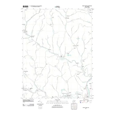 2011 Grant Town2011 Print · USGSMarion County's coal and creek valleys are shown in detail during the 2010s. Genealogists can locate family burial sites at Hoodsville Cemetery or Freeland Cemetery, and trace local landmarks like the Barrackville Covered Bridge and Eastern Gas and Fuel Lake.
 - 2011 Map of Fairmont East, 2011 Print
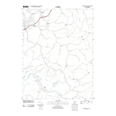 2011 Fairmont East2011 Print · USGSMarion County is defined by the winding waters of the Tygart Valley River and its many tributaries at the start of the twenty-first century. Genealogists can trace family heritage at Hayhurst Cemetery and Bunners Ridge Cemetery or explore the landscape around Rock Lake.
 - 2011 Map of Wadestown, 2011 Print
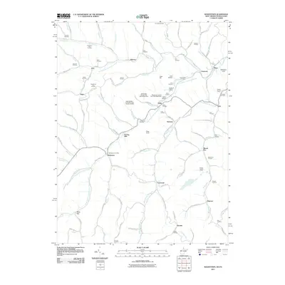 2011 Wadestown2011 Print · USGSThe Monongahela River basin at the turn of the 21st century reveals a landscape where deep-shaft mining and rural life coincide. Genealogists can trace family names through dozens of hilltop burial grounds like Old Mount Tabor Cemetery and Handgardner Cemetery, alongside coal operations at the Blacksville Number 2 Mine.
 - 2011 Map of Fairmont West, 2011 Print
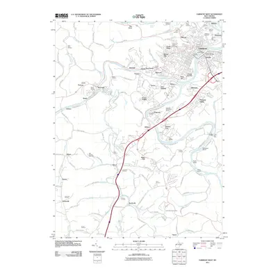 2011 Fairmont West2011 Print · USGSFairmont and the upper Monongahela River valley are captured here in the early twenty-first century as the region's industrial and academic centers continue to evolve. Researchers can locate ancestral sites at Nuzum Cemetery or Bentons Ferry and trace the urban footprints of Monongah and Palatine.
 - 2011 Map of Shinnston, 2011 Print
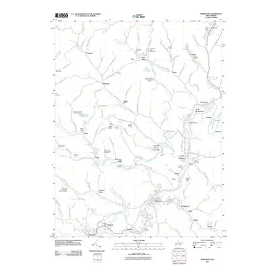 2011 Shinnston2011 Print · USGSShinnston and the West Fork River valley are documented here in the early twenty-first century, showing a landscape defined by its mining and rail heritage. Researchers can trace family sites at Hess Cemetery, the Idamay Post Office, and the old community at Sturms Mill.
 - 2014 Map of Gladesville, 2014 Print
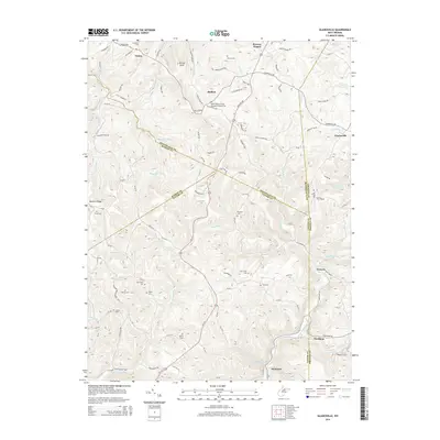 2014 Gladesville2014 Print · USGSThe West Virginia high country near the meeting point of four counties is captured here in the early twenty-first century. Genealogists can trace family burial sites including Matthew Cem and Ford Cem or locate the community of Victoria.
 - 2014 Map of Mannington, 2014 Print
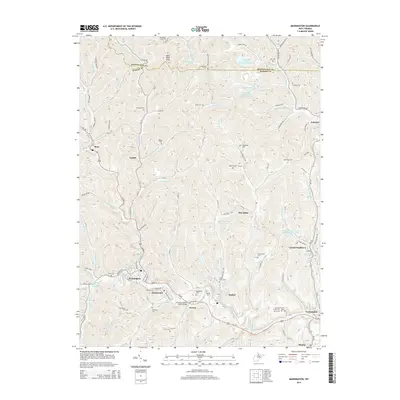 2014 Mannington2014 Print · USGSMarion County's coal-country heritage is revealed in this modern survey of the hills and hollows surrounding the town of Mannington. Genealogists and historians can trace dozens of family landmarks including Beaty Cem, James Fork School, and the Norville Clinton Shock Bridge.
 - 2014 Map of Grant Town, 2014 Print
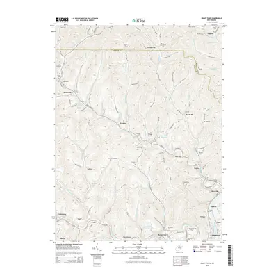 2014 Grant Town2014 Print · USGSMarion and Monongalia counties are captured in this recent survey, showcasing a landscape defined by the winding Monongahela and the coalfield economy. Genealogists can trace family names through many small burial grounds like Gilboa Cem and Pitcher Cem, or locate landmarks such as the Barrackville Covered Bridge.
 - 2014 Map of Fairmont East, 2014 Print
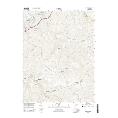 2014 Fairmont East2014 Print · USGSThe eastern hills of Fairmont and the Tygart Valley River valley are documented here in the early twenty-first century. Genealogists and historians can locate numerous rural family cemeteries and small settlements like Winfield, Samaria, and Valley Falls, along with the historic B & O RR corridor.
 - 2014 Map of Wallace, 2014 Print
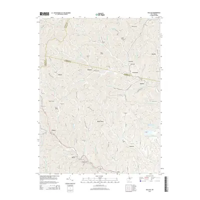 2014 Wallace2014 Print · USGSThe hills of Harrison and Marion counties are captured here in the early twenty-first century. Genealogists can locate family burial grounds like the Scritchfield and Hildreth cemeteries alongside rural settlements such as Wallace, Brown, and Joetown.
 - 2014 Map of Rivesville, 2014 Print
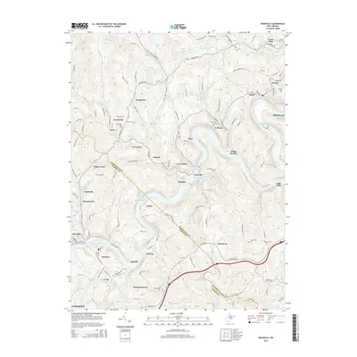 2014 Rivesville2014 Print · USGSThe Monongahela River corridor south of Fairmont is captured here in the early twenty-first century. Researchers can trace the industrial footprint of the Arkwright Mine and Pond and locate historic burial sites like Snider Cem and Pisgah Cem.
 - 2014 Map of Wadestown, 2014 Print
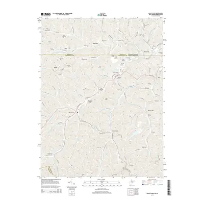 2014 Wadestown2014 Print · USGSThe Pennsylvania-West Virginia borderlands are revealed in this 2010s-era survey, showing the interconnected ridges and hollows of Greene and Monongalia Counties. Genealogists can trace family heritage through sites like Cumberledge Cem, Wadestown, and Jollytown.
 - 2014 Map of Hundred, 2014 Print
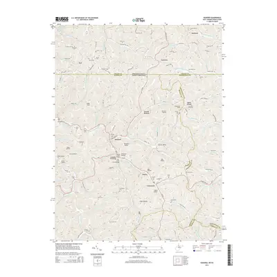 2014 Hundred2014 Print · USGSThe West Virginia-Pennsylvania borderlands come into focus in this recent survey of Wetzel and Monongalia counties. Researchers can locate numerous family burial grounds like Scritchfield Cem and historic spans including the Fish Creek Covered Bridge.
 - 2014 Map of Fairmont West, 2014 Print
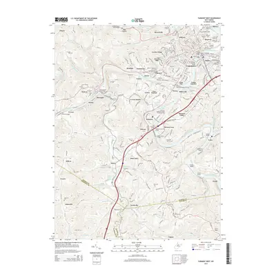 2014 Fairmont West2014 Print · USGSFairmont and its surrounding coal-country townships are captured here during a period of modern growth and riverfront development. Researchers can trace family history across dozens of burial grounds like Woodlawn Cem or locate river crossings such as the Million Dollar Bridge and Bentons Ferry Bridge.
 - 2014 Map of Glover Gap, 2014 Print
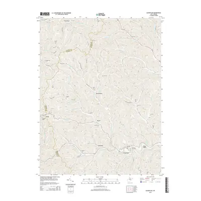 2014 Glover Gap2014 Print · USGSMarion and Wetzel counties are shown here in the 2010s, where small valley settlements and family burial grounds dot the landscape. Genealogists can trace family names at Mannington Memorial Cem, Snodgrass Cem, and Murray Cem near Logansport.
 - 2014 Map of Shinnston, 2014 Print
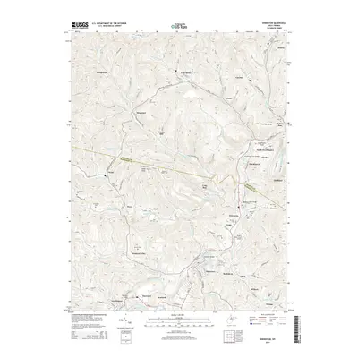 2014 Shinnston2014 Print · USGSThe West Fork River valley in the early 2010s reveals a landscape shaped by coal-country heritage and long-standing family settlements. Genealogists can trace local history through numerous sites like Sturms Mill, Richardson Cem, and the Hutchinson Truss Bridge.
 - 2016 Map of Hundred, 2016 Print
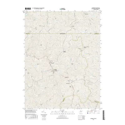 2016 Hundred2016 Print · USGSWetzel County's rugged ridge-and-hollow terrain is captured here in the mid-2010s, centered on the community of Hundred. Researchers can locate several historic crossings and family burial sites like the Fish Creek Covered Bridge, Soles Tunnel, and Stottlemeier Cem.
 - 2016 Map of Shinnston, 2016 Print
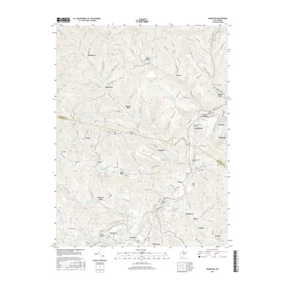 2016 Shinnston2016 Print · USGSThe West Fork River valley in Harrison and Marion Counties is shown here in the mid-2010s, following a landscape carved by coal and rail. Researchers can trace family history through dozens of hilltop burial sites like McIntyre Cem or find industrial landmarks like Williams Mine and the Hutchinson Truss Bridge.
 - 2016 Map of Fairmont West, 2016 Print
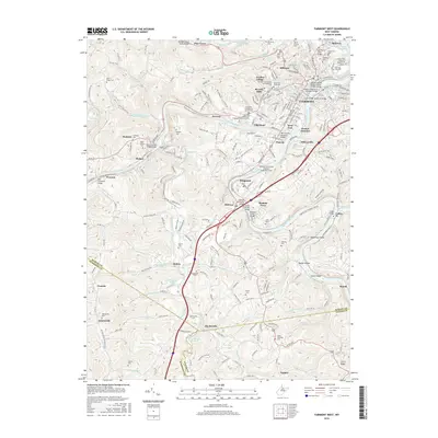 2016 Fairmont West2016 Print · USGSThe confluence of the Monongahela forks defines this portion of West Virginia during the mid-2010s. Local researchers can locate family burial plots at Woodlawn Cem, trace industrial history along 63 Mine Rd, or explore the academic grounds of Fairmont State Univ.
Showing maps 1-25 of 44
Top cities of Marion County
- Fairmont historical maps
- Pleasant Valley historical maps
- Mannington historical maps
- Barrackville historical maps
- Rivesville historical maps
- Monongah historical maps
See more
Frequently asked questions
- What are the different types of historical maps available for Marion County?
- What is the oldest map of Marion County?
- Where can I purchase historical maps of Marion County for my home or office?
- Where can I download high-res historical maps of Marion County?
- Are there historical topographic maps available for Marion County?
- Is there historical aerial imagery available for Marion County?
- Where are historical maps of Marion County sourced from?