2000s (21st Century) Maps of Wayne County, West Virginia
Explore 38 historic maps of Wayne County from the 2000s (21st Century). These maps offer a rare glimpse into what life looked like during the 2000s — showing old roads, neighborhoods, homes, and landmarks that have changed or disappeared over time.
Whether you're researching your family's past, planning a metal detecting trip, or studying how Wayne County's landscape evolved across the 2000s, these high-resolution maps are a powerful tool for exploring the history of this region.
- Focus on a specific era: All maps on this page are from the 2000s, giving you a focused view of this time period.
- See what’s changed: Compare century-old streets, trails, and buildings to today's modern landscape using overlays and satellite layers.
- Research with precision: Use these maps for genealogy, historical research, land use analysis, or educational projects.
- View, download, or print: Maps are fully viewable online in high resolution, and can be downloaded or printed for your own records.
Start exploring Wayne County's history through authentic maps from the 2000s. This is your window into the past.
Wayne County, WV maps
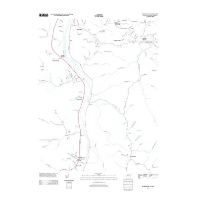
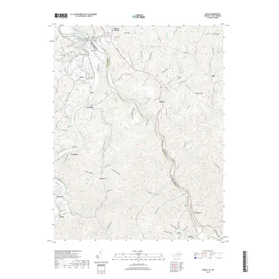
(38)- 2010 Map of Milo, 2010 Print
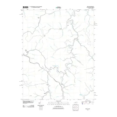 2010 Milo2010 Print · USGSCovers Wayne County, including Job, Stidham, and other nearby areas
 - 2011 Map of Catlettsburg, 2011 Print
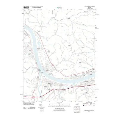 2011 Catlettsburg2011 Print · USGSCovers Wayne County, including Huntington, Ashland, and other nearby areas
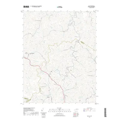
 - 2011 Map of Burnaugh, 2011 Print
 2011 Burnaugh2011 Print · USGSCovers Wayne County, including Buffalo Creek, Centerville, and other nearby areas
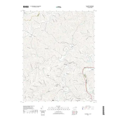
 - 2011 Map of Fallsburg, 2011 Print
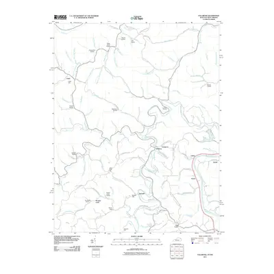 2011 Fallsburg2011 Print · USGSCovers Wayne County, including Louisa, Morgans Creek, and other nearby areas
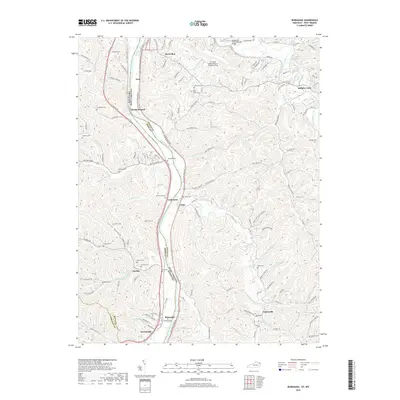
 - 2011 Map of Louisa, 2011 Print
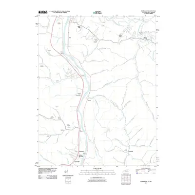
 2011 Louisa2011 Print · USGSCovers Wayne County, including Louisa, Fort Gay, and other nearby areas
 - 2013 Map of Louisa, 2013 Print
 2013 Louisa2013 Print · USGSCovers Wayne County, including Louisa, Fort Gay, and other nearby areas
 - 2013 Map of Catlettsburg, 2013 Print
 2013 Catlettsburg2013 Print · USGSCovers Wayne County, including Huntington, Ashland, and other nearby areas
 - 2013 Map of Fallsburg, 2013 Print
 2013 Fallsburg2013 Print · USGSCovers Wayne County, including Louisa, Morgans Creek, and other nearby areas
 - 2013 Map of Burnaugh, 2013 Print
 2013 Burnaugh2013 Print · USGSCovers Wayne County, including Buffalo Creek, Centerville, and other nearby areas
 - 2013 Map of Milo, 2013 Print
 2013 Milo2013 Print · USGSCovers Wayne County, including Job, Stidham, and other nearby areas
 - 2016 Map of Fallsburg, 2016 Print
 2016 Fallsburg2016 Print · USGSCovers Wayne County, including Louisa, Morgans Creek, and other nearby areas
 - 2016 Map of Milo, 2016 Print
 2016 Milo2016 Print · USGSCovers Wayne County, including Job, Stidham, and other nearby areas
 - 2016 Map of Catlettsburg, 2016 Print
 2016 Catlettsburg2016 Print · USGSCovers Wayne County, including Huntington, Ashland, and other nearby areas
 - 2016 Map of Burnaugh, 2016 Print
 2016 Burnaugh2016 Print · USGSCovers Wayne County, including Buffalo Creek, Centerville, and other nearby areas
 - 2016 Map of Louisa, 2016 Print
 2016 Louisa2016 Print · USGSCovers Wayne County, including Louisa, Fort Gay, and other nearby areas
 - 2019 Map of Catlettsburg, 2019 Print
 2019 Catlettsburg2019 Print · USGSCovers Wayne County, including Huntington, Ashland, and other nearby areas
 - 2019 Map of Louisa, 2019 Print
 2019 Louisa2019 Print · USGSCovers Wayne County, including Louisa, Fort Gay, and other nearby areas
 - 2019 Map of Fallsburg, 2019 Print
 2019 Fallsburg2019 Print · USGSCovers Wayne County, including Louisa, Morgans Creek, and other nearby areas
 - 2019 Map of Milo, 2019 Print
 2019 Milo2019 Print · USGSCovers Wayne County, including Job, Stidham, and other nearby areas
 - 2019 Map of Burnaugh, 2019 Print
 2019 Burnaugh2019 Print · USGSCovers Wayne County, including Buffalo Creek, Centerville, and other nearby areas
 - 2022 Map of Catlettsburg, 2022 Print
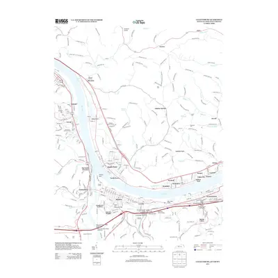
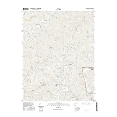
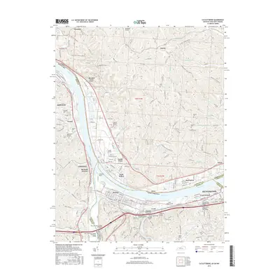
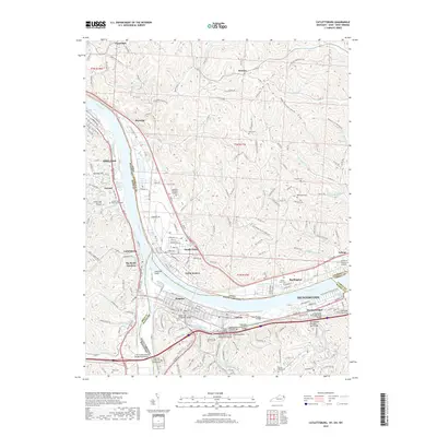
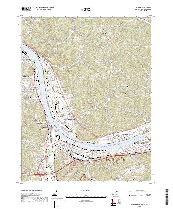 2022 Catlettsburg2022 Print · USGSThe tristate confluence of Kentucky, Ohio, and West Virginia is captured here in the early 2020s as the riverfront communities of Catlettsburg and Kenova continue their long industrial legacy. Researchers can trace family history through McComas Family Cem and Highland Memorial Gardens or locate regional landmarks like Tri-State Bible College and Chimney Rock.
 - 2022 Map of Burnaugh, 2022 Print
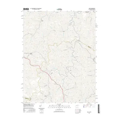
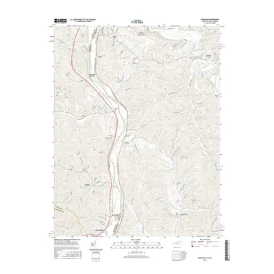
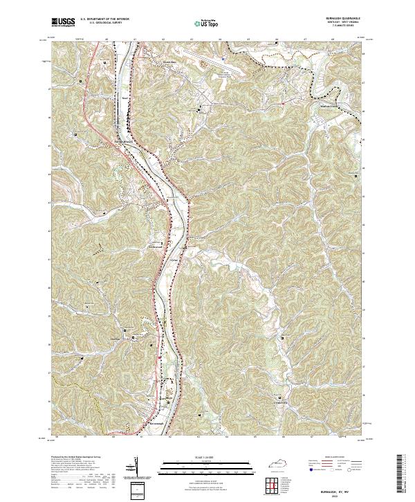 2022 Burnaugh2022 Print · USGSThe Big Sandy River valley at the Kentucky and West Virginia border is shown here as it appears today. Researchers can locate many family burial sites like Lockwood Cem and Thacker Cem near settlements at Burnaugh and Cyrus.
 - 2022 Map of Fallsburg, 2022 Print
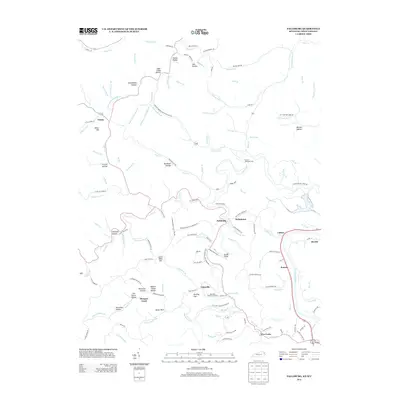
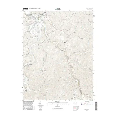
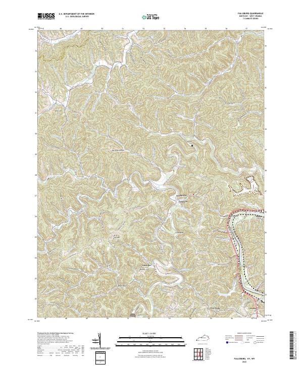 2022 Fallsburg2022 Print · USGSLawrence County, Kentucky, and the West Virginia border meet along the Big Sandy River in this modern survey of the Appalachian foothills. Researchers can trace family roots through the Patton Memorial Cem or locate old home sites near Fallsburg, Fullers, and Stringtown.
 - 2022 Map of Louisa, 2022 Print
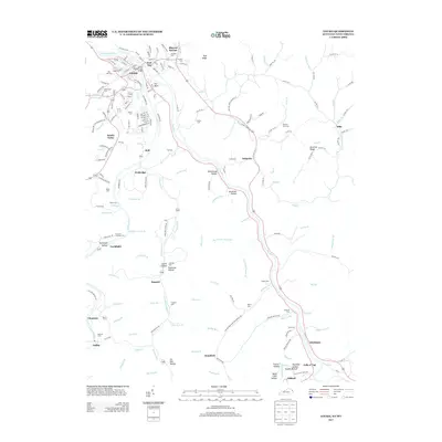
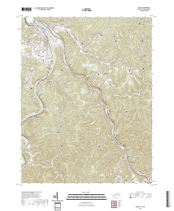 2022 Louisa2022 Print · USGSLouisa and the surrounding river forks sit at the center of this Kentucky-West Virginia border study from 2022. Researchers can find dozens of family burial sites such as Preece Cem and Bartram Cem tucked between The Point and Frazier Bottom.
 - 2022 Map of Milo, 2022 Print
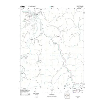
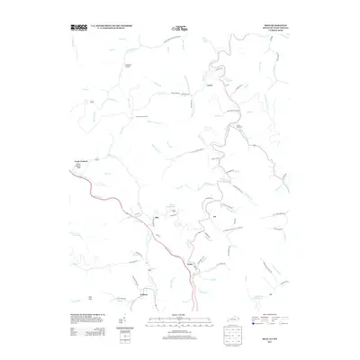
 2022 Milo2022 Print · USGSMartin County, Kentucky, at the start of the 2020s, reveals a deeply dissected landscape where family and community history is etched into every hollow. Researchers can trace ancestral locations near the Castle School, Buffalo Horn Cem, and Stidham.
Showing maps 1-25 of 38
Top cities of Wayne County
Frequently asked questions
- What are the different types of historical maps available for Wayne County?
- What is the oldest map of Wayne County?
- Where can I purchase historical maps of Wayne County for my home or office?
- Where can I download high-res historical maps of Wayne County?
- Are there historical topographic maps available for Wayne County?
- Is there historical aerial imagery available for Wayne County?
- Where are historical maps of Wayne County sourced from?