2010s Maps of Wayne County, West Virginia
Explore 72 historic maps of Wayne County from the 2010s. These maps offer a rare glimpse into what life looked like during the 2010s — showing old roads, neighborhoods, homes, and landmarks that have changed or disappeared over time.
Whether you're researching your family's past, planning a metal detecting trip, or studying how Wayne County's landscape evolved across the 2010s, these high-resolution maps are a powerful tool for exploring the history of this region.
- Focus on a specific era: All maps on this page are from the 2010s, giving you a focused view of this time period.
- See what’s changed: Compare century-old streets, trails, and buildings to today's modern landscape using overlays and satellite layers.
- Research with precision: Use these maps for genealogy, historical research, land use analysis, or educational projects.
- View, download, or print: Maps are fully viewable online in high resolution, and can be downloaded or printed for your own records.
Start exploring Wayne County's history through authentic maps from the 2010s. This is your window into the past.
Wayne County, WV maps
(72)- 2010 Map of Wilsondale, 2010 Print
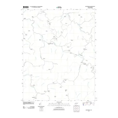 2010 Wilsondale2010 Print · USGSWayne County's winding hollows and family-named ridges are shown here in the early twenty-first century. Genealogists can trace family heritage through dozens of small burial sites like the Spaulding Cemetery and Ferguson Cemetery or locate the old Wilsondale Post Office.
 - 2010 Map of Webb, 2010 Print
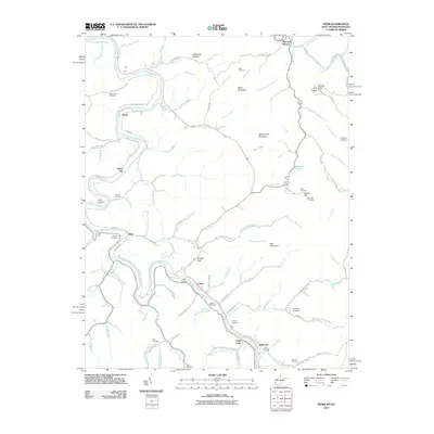 2010 Webb2010 Print · USGSThe West Virginia and Kentucky borderlands come alive in this early 21st-century record of the Tug Fork river valley. Genealogists and local historians can locate numerous family burial grounds like Sammons Cemetery and Chaffin Cemetery near the settlements of Crum and Webb.
 - 2010 Map of Kermit, 2010 Print
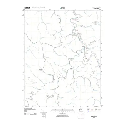 2010 Kermit2010 Print · USGSThe borderlands of the Tug Fork come alive in this 2010 study of the Kentucky-West Virginia line. Genealogists can trace family roots through Petercave Memorial Cemetery or explore the rail-linked settlements of Kermit and Warfield.
 - 2010 Map of Milo, 2010 Print
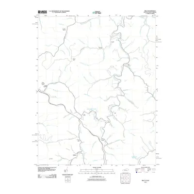 2010 Milo2010 Print · USGSMartin County's rural communities are documented here in the early 2000s as they follow the winding waters of Rockcastle Creek. Researchers can locate family landmarks such as Stidham Post Office, Castle School, and the Hammond Cemetery.
 - 2011 Map of Winslow, 2011 Print
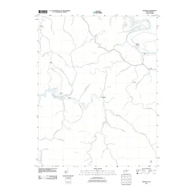 2011 Winslow2011 Print · USGSCabell County is shown in detail during the early twenty-first century, featuring the winding Guyandotte River and the rural communities of the hinterland. Genealogists can locate several family burial grounds like Wallace Cemetery or the historic Camp Dekanawida.
 - 2011 Map of Nestlow, 2011 Print
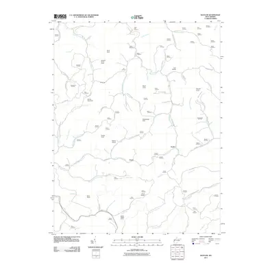 2011 Nestlow2011 Print · USGSWayne County’s high ridges and creek forks are documented in detail here during the early twenty-first century. Genealogists and local historians can locate dozens of family burial sites, from Beckelheimer Cemetery and Tallclay Cemetery to the namesake settlement of Nestlow.
 - 2011 Map of Lavalette, 2011 Print
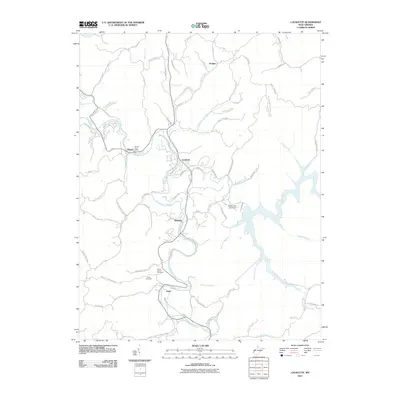 2011 Lavalette2011 Print · USGSThe community of Lavalette and its surrounding hollows are captured here in the early 21st century. Genealogists and local historians can trace family-named landmarks like Mount Vernon Cemetery, Smith Cemetery, and the Shoals Post Office.
 - 2011 Map of Wayne, 2011 Print
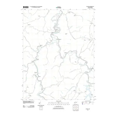 2011 Wayne2011 Print · USGSWayne County’s winding valleys and creek-side communities are captured here in the early twenty-first century. Genealogists and local historians can trace family burial sites like Smith Cemetery and Maynard Cemetery or locate the East Lynn Post Office.
 - 2011 Map of Radnor, 2011 Print
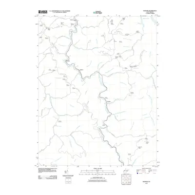 2011 Radnor2011 Print · USGSWayne County's winding creek valleys and family ridges are preserved here as they appeared in the early 2010s. Researchers can trace numerous family burial sites like John Napier Cemetery and Workman Cemetery along the West Fork Twelvepole Creek.
 - 2011 Map of Prichard, 2011 Print
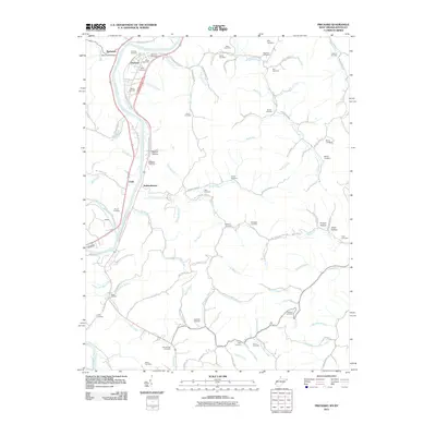 2011 Prichard2011 Print · USGSThe Big Sandy River valley and its surrounding hollows are captured here in the early twenty-first century as they border Kentucky and West Virginia. Researchers can locate family landmarks like the Hanley Cemetery, the old community of Hubbardstown, and the historic Brick Church.
 - 2011 Map of Catlettsburg, 2011 Print
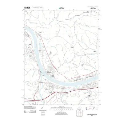 2011 Catlettsburg2011 Print · USGSThe tri-state confluence of Kentucky, Ohio, and West Virginia comes alive in this survey of the river-and-rail economy. Researchers can trace ancestral sites like Green Lawn Cemetery or study the industrial footprint of the Ashland Oil Refinery and Big Sandy Junction.
 - 2011 Map of Burnaugh, 2011 Print
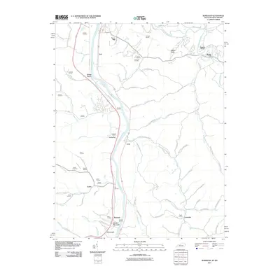 2011 Burnaugh2011 Print · USGSThe Big Sandy River valley and its surrounding ridges are captured here in the early 21st century. Genealogists can locate numerous family burial grounds like Hatten Cemetery and Hall Cemetery near the settlements of Lockwood and Cyrus.
 - 2011 Map of Fallsburg, 2011 Print
 2011 Fallsburg2011 Print · USGSThe Lawrence County backcountry and the Big Sandy River shoreline come into focus in the early twenty-first century. Genealogists and hikers can trace family-named sites like Patton Memorial Cemetery, Jerry Riffe Hill, and the settlements of Fallsburg and Trinity.
 - 2011 Map of Trace, 2011 Print
 2011 Trace2011 Print · USGSMingo County is shown in detail during the early 2010s, focusing on the communities along the East Fork Twelvepole Creek. Researchers can locate numerous family burial sites such as Dingess Cemetery and Sol Adams Cemetery, or trace the winding Trace Fork RD.
 - 2011 Map of Louisa, 2011 Print
 2011 Louisa2011 Print · USGSThe borderlands of Kentucky and West Virginia meet at the confluence of the Tug Fork during the early 2000s. Researchers can trace dozens of family burial sites and rural hollows, from the Fort Gay Bridge to the Falls of Tug and Emerson-Stratton Cemetery.
 - 2011 Map of Kiahsville, 2011 Print
 2011 Kiahsville2011 Print · USGSWayne and Lincoln Counties appear here in the early 2010s, centered on the wooded ridges and the waters of East Lynn Lake. Local historians can locate numerous family burial sites like Pat Maynard Cemetery and Smith Cemetery near Kiahsville.
 - 2011 Map of Ranger, 2011 Print
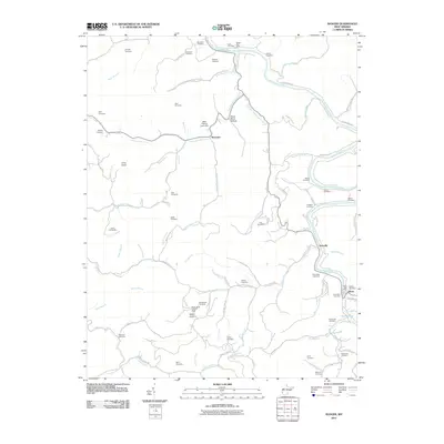 2011 Ranger2011 Print · USGSThe Guyandotte River valley of Lincoln County remains a network of tight-knit communities and family hollows in the early twenty-first century. Genealogists and historians can trace generations of residents through landmarks like Hatfield Cemetery, Atenville, and the Gartin Knob Lookout Tower.
 - 2011 Map of Huntington, 2011 Print
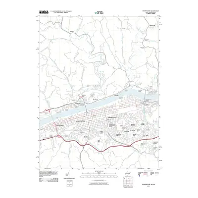 2011 Huntington2011 Print · USGSHuntington and the Ohio River valley appear in high detail during the early twenty-first century, documenting a major educational and industrial hub. Researchers can trace the layout of Marshall University, find family names at Spring Hill Cemetery, or locate the Lawrence County Airpark across the water.
 - 2013 Map of Louisa, 2013 Print
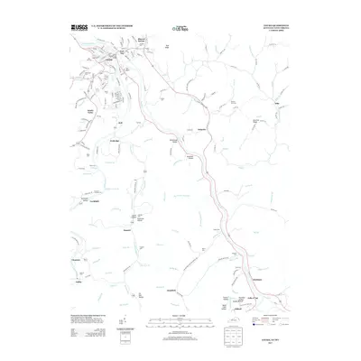 2013 Louisa2013 Print · USGSThe borderlands of Kentucky and West Virginia come alive in this 2010s study of the Big Sandy River valley. Trace family history across the ridges at Pine Hill Cem, Fairview Cem, and Maynard Cem, or explore the river-side hamlets of Fort Gay, Gallup, and Clifford.
 - 2013 Map of Catlettsburg, 2013 Print
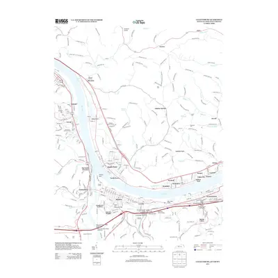 2013 Catlettsburg2013 Print · USGSThe confluence of the Ohio and Big Sandy Rivers comes alive in this modern survey of the Huntington tri-state area. Genealogists and local historians can trace the neighborhoods of Catlettsburg and Kenova or locate family sites at Crescent Hill Cem and Highland Memorial Gardens.
 - 2013 Map of Fallsburg, 2013 Print
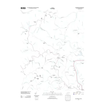 2013 Fallsburg2013 Print · USGSLawrence County, Kentucky, is documented here in the early twenty-first century, showing a landscape of traditional Appalachian hollows and ridge-line settlements. Researchers can locate family landmarks like Patton Memorial Cem, Jerry Riffe Hill, and the community of Yatesville.
 - 2013 Map of Burnaugh, 2013 Print
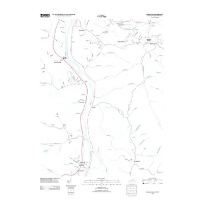 2013 Burnaugh2013 Print · USGSThe West Virginia-Kentucky borderlands come into focus in the early 2010s, centered on the riverine settlements along the Big Sandy River. Researchers can trace decades of local history through dozens of burial sites like Runyon Cem and Lockwood Cem, or explore the transit hub around Tri-State Airport.
 - 2013 Map of Milo, 2013 Print
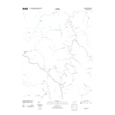 2013 Milo2013 Print · USGSMartin County's hollows and ridges are documented here during the early twenty-first century as small valley communities persist. Family historians can trace local landmarks like Buffalo Horn Cem, the Castle School, and the Orchard Lookout Tower.
 - 2014 Map of Wilsondale, 2014 Print
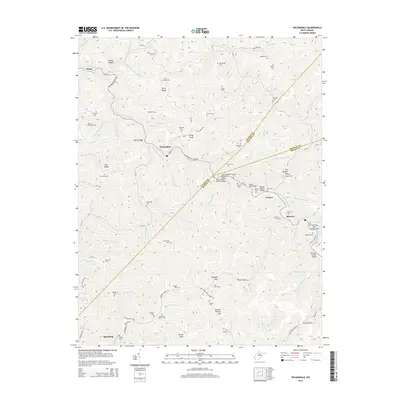 2014 Wilsondale2014 Print · USGSWayne County's steep ridges and railroad hollows are on full display in this study of the borderlands near the Mingo and Lincoln county lines. Genealogists can locate numerous family burial grounds like Stroud Cem and Meade and Messer Cem, while tracing the rail corridor through the Breeden Tunnel.
 - 2014 Map of Kermit, 2014 Print
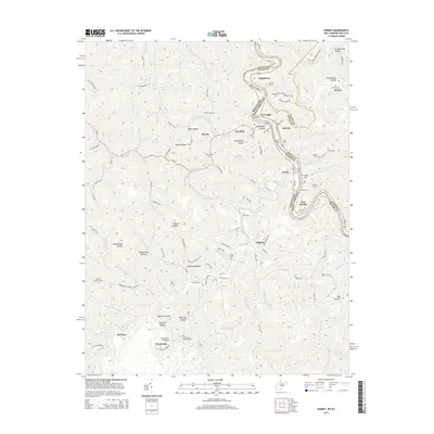 2014 Kermit2014 Print · USGSThe border communities of the Kentucky-West Virginia state line are shown here in the early twenty-first century as they follow the deep bends of the Tug Fork. Researchers can trace old mountain burial grounds like Kirk Cem and the rail engineering of Number 1 Tunnel.
Showing maps 1-25 of 72
Top cities of Wayne County
Frequently asked questions
- What are the different types of historical maps available for Wayne County?
- What is the oldest map of Wayne County?
- Where can I purchase historical maps of Wayne County for my home or office?
- Where can I download high-res historical maps of Wayne County?
- Are there historical topographic maps available for Wayne County?
- Is there historical aerial imagery available for Wayne County?
- Where are historical maps of Wayne County sourced from?