Old Maps of Tainter, Wisconsin for Hiking & Exploration
Hike through history with 35 historic maps of Tainter. Explore old trails, ghost towns, and forgotten backroads — perfect for outdoor adventurers and local explorers.
- Rediscover forgotten places: Map out old mining camps, roads, and footpaths that no longer exist on modern maps.
- Layer with modern tools: Combine with LiDAR or satellite views to plan hikes through historical terrain.
- Made for exploration: Popular among hikers, overlanders, and local history lovers.
Use these maps to find adventure and explore the hidden past of Tainter.
Tainter, WI maps
(35)- 1940 Map of Menomonie, 1965 Print
 1940 Menomonie1965 Print · USGSDunn County in the early 1940s is a landscape of established river towns and a dense network of country schoolhouses. Genealogists can trace family roots through sites like Beyer Settlement Sch, Ideal Cem, and the County Asylum.2 unique versions available
 - 1942 Map of Menomonie
 1942 Menomonie1942 Print · USGSDunn County at the start of the 1940s reveals a region of thriving river towns and closely knit rural school districts. Genealogists can trace family roots through numerous country schools like Knapp Settlement School and local burial grounds such as Sherman Cem.
 - 1949 Map of Ridgeland, 1970 Print
 1949 Ridgeland1970 Print · USGSThe rural borderlands of Barron and Dunn counties are captured here in the late 1940s, when small-town rail hubs and country schoolhouses still dotted the landscape. Researchers can trace family roots through numerous sites like Evergreen Cem, Vanceburg, and Parkman Sch.
 - 1951 Map of Ridgeland
 1951 Ridgeland1951 Print · USGSDunn and Barron counties thrive as a network of small-town centers and rural school districts during the early fifties. Genealogists can trace family roots through numerous sites like Lutheran Cem, Zion Ch, and the Little Beaver Sch.
 - 1953 Map of Eau Claire, 1965 Print
 1953 Eau Claire1965 Print · USGSWest-central Wisconsin in the mid-fifties shows a landscape of river-valley industry and vast wildlife refuges during the transition from rails to modern highways. Genealogists and historians can trace the rail corridors of the Chicago and North Western or locate family-named landmarks like Decorah Mound and Chippewa Island.4 unique versions available
 - 1953 Map of Rice Lake, 1967 Print
 1953 Rice Lake1967 Print · USGSNorthwest Wisconsin during the mid-fifties reveals a landscape defined by timber, rail, and water. Genealogists and historians can trace the development of river towns like Ladysmith and Rice Lake along the Soo Line and Chicago and North Western railroads.2 unique versions available
 - 1958 Map of Eau Claire
 1958 Eau Claire1958 Print · USGSWestern Wisconsin in the late fifties shows a landscape of growing regional hubs and massive wildlife refuges. Trace the rail lines of the Chicago and North Western between Eau Claire and Marshfield, or explore the terrain around Iron Mound and Lake Wissota.
 - 1959 Map of Rice Lake
 1959 Rice Lake1959 Print · USGSNorthwest Wisconsin in the late fifties was a land of expanding road networks and deep-seated timber history. Genealogists and historians can trace rail lines like the Soo Line RR and Chicago St Paul Minneapolis and Omaha Ry as they link settlements from Spooner to Medford.
 - 1964 Map of Eau Claire
 1964 Eau Claire1964 Print · USGSWest-central Wisconsin in the mid-1960s was a hub of river-driven industry and expanding rail networks. Researchers can trace historic homesteads near Menomonie, follow the Soo Line RR through Marshfield, or explore the grounds of the Camp McCoy Military Reservation.
 - 1972 Map of Menomonie North, 1975 Print
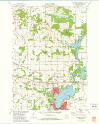 1972 Menomonie North1975 Print · USGSDunn County in the early seventies shows a landscape of expanding university life and river-based industry. Locate family roots at Sherman Cem, trace the railroad to Menomonie Junction, or study the grounds of Stout State Univ.
 - 1972 Map of Rusk, 1975 Print
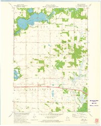 1972 Rusk1975 Print · USGSDunn County in the early seventies shows a landscape where the Chicago and North Western railroad still connects rural towns. Genealogists can trace local roots through several family and community sites, including Hill Grove Cem, Potters Field Cem, and the St Katherine Ch Cem near Rusk.
 - 1975 Map of Norton, 1978 Print
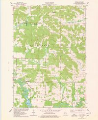 1975 Norton1978 Print · USGSDunn County’s rural landscape is captured here in the mid-seventies, showing the agricultural heart of the region before modern expansion. Researchers can trace the Soo Line railroad and locate historical sites like Norton Ch and the Upper Popple Creek Cem.
 - 1975 Map of Wheeler, 1978 Print
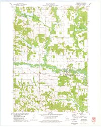 1975 Wheeler1978 Print · USGSDunn County life in the mid-seventies centers on the confluence of the Hay River and the Soo Line railroad. Researchers can trace rural landmarks like Hay River Cem, the Church of the Nazarene, and the small settlement of Dewey.
 - 1980 Map of Bloomer
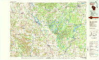 1980 Bloomer1980 Print · USGSNorthwestern Wisconsin at the start of the eighties shows a landscape deeply connected to its rivers and rail lines. Genealogists and historians can trace the growth of Bloomer, Ladysmith, and Chetek or locate local landmarks like Brunet Island State Park and the Soo Line rail corridors.
 - 1985 Map of Eau Claire
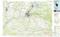 1985 Eau Claire1985 Print · USGSWestern Wisconsin's river valleys and growing mid-century cities are captured here in the mid-eighties. Genealogists and historians can trace the paths of the Chicago and North Western railroad and locate rural landmarks like Dells Millpond and Nine Mile Island.2 unique versions available
 - 2010 Map of Wheeler, 2010 Print
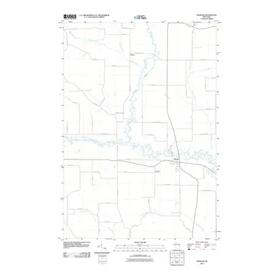 2010 Wheeler2010 Print · USGSDunn County at the start of the 2010s reveals a quiet agricultural landscape shaped by the winding Hay River. Genealogists can locate family landmarks at Hay River Cemetery and Our Saviors Cemetery or trace the early paths of Baxter and Wheeler.
 - 2010 Map of Rusk, 2010 Print
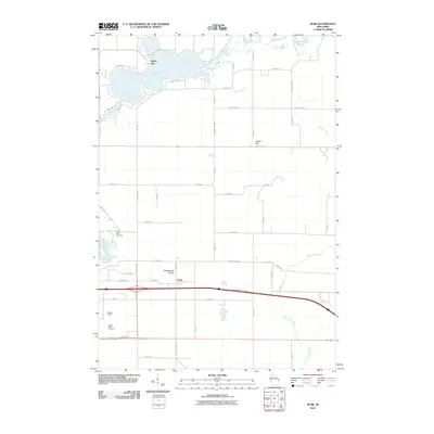 2010 Rusk2010 Print · USGSDunn County at the start of the 2010s shows a landscape defined by the Red Cedar River and the rural community of Rusk. Genealogists and local historians can locate Cedar Falls Cemetery, the Potters Field Cemetery, and the high ground of Sherbourne Prairie.
 - 2010 Map of Menomonie North, 2010 Print
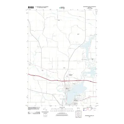 2010 Menomonie North2010 Print · USGSDunn County at the start of the 2010s shows a landscape shaped by the Red Cedar River and the growth of the university. Trace local history at the University of Wisconsin - Stout Campus or locate family plots at Evergreen Cemetery and Tramway Cemetery.
 - 2010 Map of Norton, 2010 Print
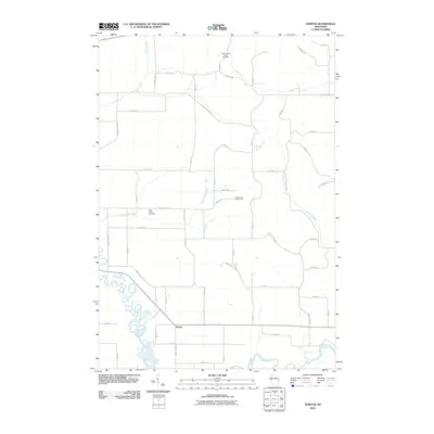 2010 Norton2010 Print · USGSThe rural landscape of Dunn County is captured here at the start of the 2010s, centered on the settlement of Norton. Researchers can trace local heritage at Upper Popple Creek Cemetery and Otter Creek Cemetery or follow the winding course of the Hay River.
 - 2013 Map of Rusk, 2013 Print
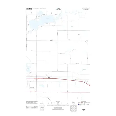 2013 Rusk2013 Print · USGSDunn County at the start of the 2010s shows a landscape where prairie remnants and river systems meet modern aviation and transit. Trace the local geography around Rusk, Sherbourne Prairie, and the waterfront developments of Tainter Lake.
 - 2013 Map of Menomonie North, 2013 Print
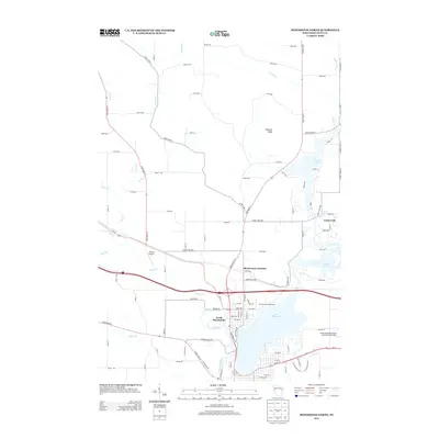 2013 Menomonie North2013 Print · USGSDunn County at the start of the 2010s shows a landscape of river-fed lakes and developing suburban fringes. Researchers can trace the layout of North Menomonie or locate landmarks like Otteson Bluff and Menomonie Junction.
 - 2013 Map of Norton, 2013 Print
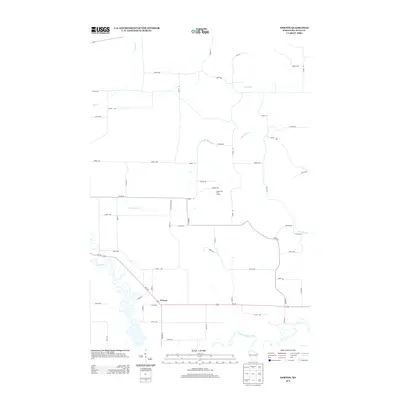 2013 Norton2013 Print · USGSThe rural countryside near Tainter is captured here just over a decade ago, where the Hay River and Red Cedar River meet. Researchers can trace the layout of the Norton settlement and locate landmarks like the Deepwood Golf Course among the grid of family farm roads.
 - 2013 Map of Wheeler, 2013 Print
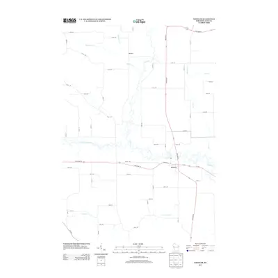 2013 Wheeler2013 Print · USGSDunn County agricultural life and river valleys are captured here in the early twenty-first century. Genealogists and local historians can trace the rural road grid and water crossings around the settlements of Wheeler and Baxter, along the banks of the Hay River.
 - 2015 Map of Rusk, 2015 Print
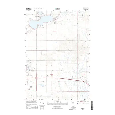 2015 Rusk2015 Print · USGSDunn County at the start of the 2010s shows a landscape of expansive lakefronts and rural crossroads near the city of Menomonie. Genealogists and local historians can locate several burial sites like Potters Field Cem and Cedar Falls Cem or trace the drainage of Elk Mound Marsh.
 - 2015 Map of Menomonie North, 2015 Print
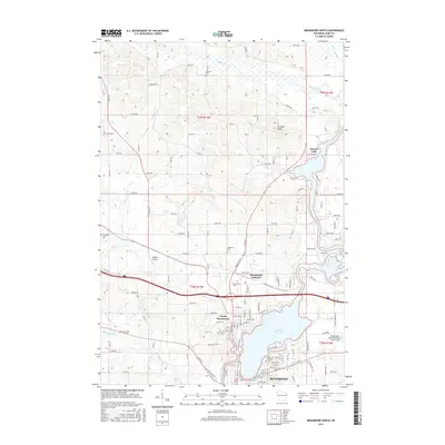 2015 Menomonie North2015 Print · USGSThe northern reaches of Menomonie are documented here in 2015, showing the city's relationship with the Red Cedar River and Lake Menomin. Local history researchers can trace family plots at Halverson Cem or Tramway Cem and locate aviation history at Skyport Airport.
Showing maps 1-25 of 35
Top cities near Tainter
- Menomonie historical maps
- Union historical maps
- Town of Tainter historical maps
- Town of Red Cedar historical maps
- Red Cedar historical maps
- Colfax historical maps
See more
Top neighborhoods of Tainter
Frequently asked questions
- What are the different types of historical maps available for Tainter?
- What is the oldest map of Tainter?
- Where can I purchase historical maps of Tainter for my home or office?
- Where can I download high-res historical maps of Tainter?
- Are there historical topographic maps available for Tainter?
- Is there historical aerial imagery available for Tainter?
- Where are historical maps of Tainter sourced from?