2000s (21st Century) Maps of Harding, Wisconsin
Explore 30 historic maps of Harding from the 2000s (21st Century). These maps offer a rare glimpse into what life looked like during the 2000s — showing old roads, neighborhoods, homes, and landmarks that have changed or disappeared over time.
Whether you're researching your family's past, planning a metal detecting trip, or studying how Harding's landscape evolved across the 2000s, these high-resolution maps are a powerful tool for exploring the history of this region.
- Focus on a specific era: All maps on this page are from the 2000s, giving you a focused view of this time period.
- See what’s changed: Compare century-old streets, trails, and buildings to today's modern landscape using overlays and satellite layers.
- Research with precision: Use these maps for genealogy, historical research, land use analysis, or educational projects.
- View, download, or print: Maps are fully viewable online in high resolution, and can be downloaded or printed for your own records.
Start exploring Harding's history through authentic maps from the 2000s. This is your window into the past.
Harding, WI maps
(30)- 2010 Map of Grandfather Falls, 2010 Print
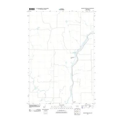 2010 Grandfather Falls2010 Print · USGSThe Wisconsin River and its hydroelectric infrastructure define this Lincoln County landscape in the early twenty-first century. Researchers can trace the river's path from Grandfather Flowage 2295 past the Upper Grandfather Falls Dam and toward Ninemile Hill.
 - 2010 Map of Alexander Lake, 2010 Print
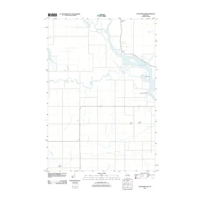 2010 Alexander Lake2010 Print · USGSThe northern Wisconsin river country is captured here in the early twenty-first century, showing the meeting of the Wisconsin River and Copper River. Genealogists and historians can locate the Methodist Cemetery and Snow Hill Cemetery or trace the Alexander WP200 Dam.
 - 2010 Map of Fromm Lookout Tower, 2010 Print
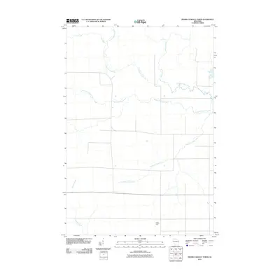 2010 Fromm Lookout Tower2010 Print · USGSLincoln County at the start of the 2010s reveals a structured landscape defined by the sprawling branches of the Copper River. Researchers can trace the paths of the North Fork Copper River and South Fork Copper River or locate the Fromm Lookout Tower.
 - 2010 Map of Natzke Camp, 2010 Print
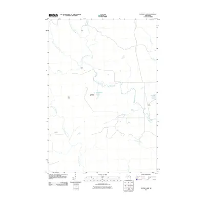 2010 Natzke Camp2010 Print · USGSLincoln County’s dense forest and river network are mapped here in the early 2000s, showing a landscape defined by water management and logging history. Researchers can locate specific outposts like Natzke Camp and Camp Twenty-seven or trace the New Wood Flowage created by the New Wood H2.117 Dam.
 - 2010 Map of Spirit Falls, 2010 Print
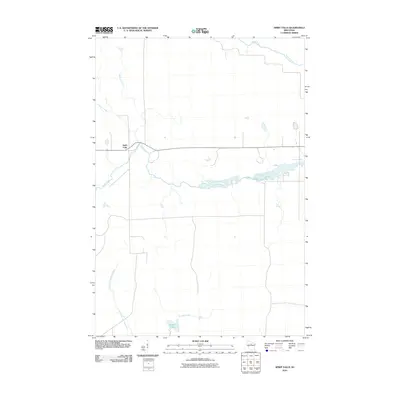 2010 Spirit Falls2010 Print · USGSSpirit Falls and the surrounding Lincoln County woodlands are captured here in the early twenty-first century. Genealogists and local historians can trace the waterways that shaped this region, from the Spirit River settlement to the banks of Krueger Lake.
 - 2011 Map of Coffee Creek, 2011 Print
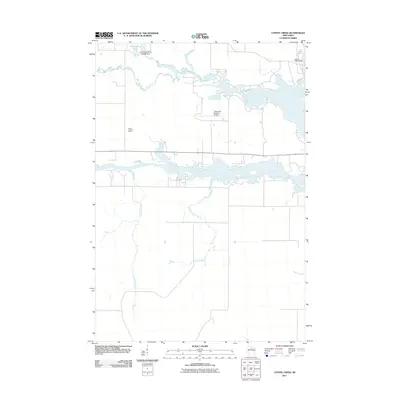 2011 Coffee Creek2011 Print · USGSThe confluence of the Somo and Spirit Rivers near Tomahawk is captured here during the early twenty-first century. Researchers can trace the local water management system through the Little Somo River 2WP464 Dam, the Jersey 2WP33 Dam, and the Zenith Lookout Tower.
 - 2013 Map of Fromm Lookout Tower, 2013 Print
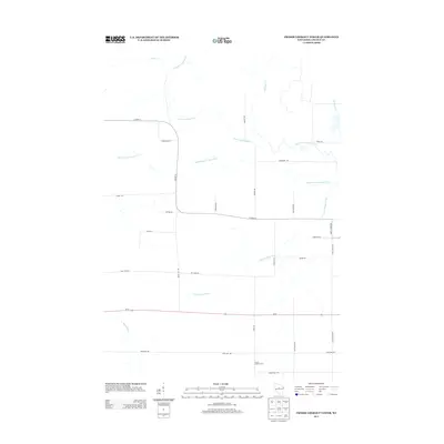 2013 Fromm Lookout Tower2013 Print · USGSWisconsin's Northwoods character is on full display in the early twenty-first century as the Copper River forks converge. Genealogists and local historians can trace family-named routes like Joe Snow Rd and Natzke Rd near the Fromm Lookout Tower.
 - 2013 Map of Grandfather Falls, 2013 Print
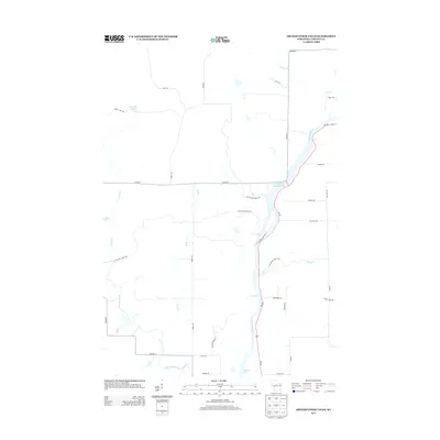 2013 Grandfather Falls2013 Print · USGSThe Wisconsin River valley in Lincoln County is captured here in the early twenty-first century, showcasing its managed waterways and recreation trails. You can trace the path of the Ice Age Natl Scenic Trl past landmarks like Grandfather Falls and Posey Rapids.
 - 2013 Map of Coffee Creek, 2013 Print
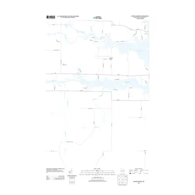 2013 Coffee Creek2013 Print · USGSLincoln County's river systems and aviation infrastructure are documented here during the early twenty-first century. Researchers can trace the water levels of the Spirit River Flowage or locate local landmarks like the Zenith Lookout Tower and Tomahawk Regional Airport.
 - 2013 Map of Natzke Camp, 2013 Print
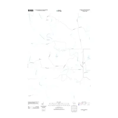 2013 Natzke Camp2013 Print · USGSLincoln County’s timber and river country is documented here in the early twenty-first century, showing a landscape defined by seasonal camps and glacial trails. You can locate old sites like Natzke Camp and Camp Twenty-five or trace the winding Ice Age Natl Scenic Trl.
 - 2013 Map of Spirit Falls, 2013 Print
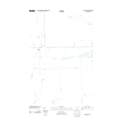 2013 Spirit Falls2013 Print · USGSSpirit Falls and the surrounding Lincoln County woodlands are documented here during the early twenty-first century. Genealogists and local historians can trace the course of the Spirit River and locate rural landmarks like Wilson School Dr and Krueger Lake.
 - 2013 Map of Alexander Lake, 2013 Print
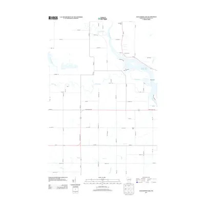 2013 Alexander Lake2013 Print · USGSLincoln County’s river systems are on full display in the early 2010s as the Wisconsin River meets the Alexander Lake Flowage 2520. Researchers can trace the paths of the Copper River and New Wood River past landmarks like Ninemile Hill.
 - 2015 Map of Fromm Lookout Tower, 2015 Print
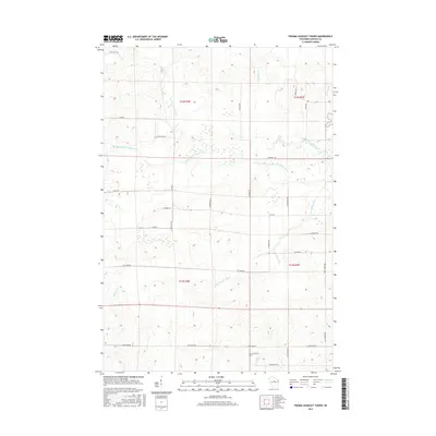 2015 Fromm Lookout Tower2015 Print · USGSThe Copper River forks and wetlands of Lincoln County are captured in this recent survey. Researchers can trace land ownership patterns along Natzke Rd and Joe Snow Rd or locate the site of the Fromm Lookout Tower.
 - 2015 Map of Spirit Falls, 2015 Print
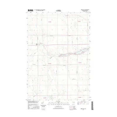 2015 Spirit Falls2015 Print · USGSSpirit Falls and the surrounding Lincoln County wetlands are captured here during the mid-2010s. Local researchers can trace rural property access via Phalzgraff Rd and Wilson School Dr or follow the path of the Soma River.
 - 2015 Map of Natzke Camp, 2015 Print
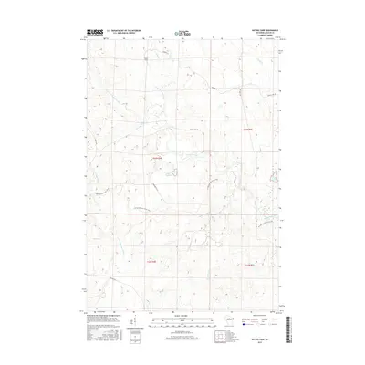 2015 Natzke Camp2015 Print · USGSLincoln County’s forested interior is captured here in the mid-2010s, showcasing a landscape of complex river forks and timber-country roads. Outdoor enthusiasts and local historians can trace the Ice Age National Scenic Trail as it winds past Natzke Camp and the New Wood Flowage.
 - 2015 Map of Grandfather Falls, 2015 Print
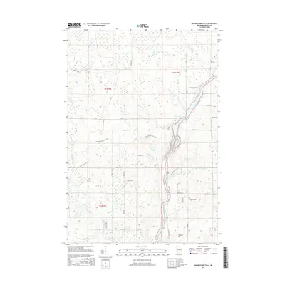 2015 Grandfather Falls2015 Print · USGSLincoln County’s river-driven landscape is captured here in the mid-2010s, showing the intersection of natural waterways and modern conservation. Researchers can trace the Ice Age National Scenic Trail as it crosses the Wisconsin River near Ninemile Hill.
 - 2015 Map of Coffee Creek, 2015 Print
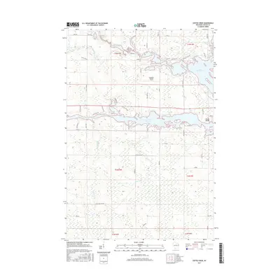 2015 Coffee Creek2015 Print · USGSLincoln County’s river systems and flowages are intricately detailed in this modern survey of the Tomahawk area. Researchers can trace land use around Lake Mohawksin, the Tomahawk Regional Airport, and small lakeside settlements like West Kraft.
 - 2015 Map of Alexander Lake, 2015 Print
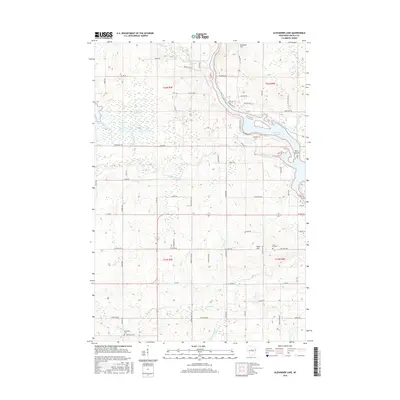 2015 Alexander Lake2015 Print · USGSThe Wisconsin River valley north of Merrill comes into focus in the mid-2010s, showing a landscape defined by the Alexander Flowage and rural townships. Genealogists can locate family landmarks like the Methodist Cem and Snow Hill Cem among the hills and river bends.
 - 2018 Map of Alexander Lake, 2018 Print
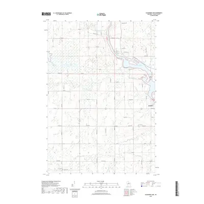 2018 Alexander Lake2018 Print · USGSLincoln County’s river-carved landscape is documented here in the late twenty-tens, showing the convergence of several major waterways. Researchers can trace land tracts near Merrill and locate historical burial sites at Snow Hill Cem or Methodist Cem.
 - 2018 Map of Grandfather Falls, 2018 Print
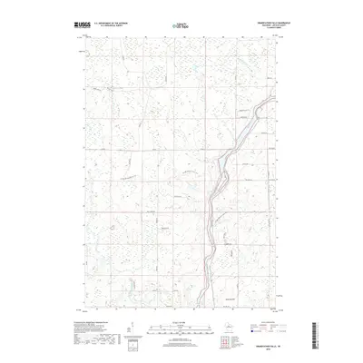 2018 Grandfather Falls2018 Print · USGSLincoln County at the end of the 2010s shows a landscape defined by the winding Wisconsin River and its glacial history. Trace the path of the Ice Age National Scenic Trail past white-water landmarks like Bill Cross Rapids and the heights of Ninemile Hill.
 - 2018 Map of Fromm Lookout Tower, 2018 Print
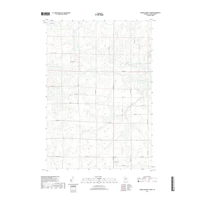 2018 Fromm Lookout Tower2018 Print · USGSLincoln County’s forested terrain and river forks are captured here in the late twenty-teens. Genealogists and hikers can trace rural routes like Joe Snow Rd and locate the historic Fromm Lookout Tower near the S Fork Copper River.
 - 2018 Map of Natzke Camp, 2018 Print
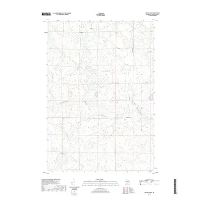 2018 Natzke Camp2018 Print · USGSIn the central woods of Lincoln County during the late 2010s, this area remains a focal point for conservation and outdoor recreation. Researchers can trace the path of the Ice Age National Scenic Trail through the wetlands surrounding the New Wood Flowage and Natzke Camp.
 - 2018 Map of Spirit Falls, 2018 Print
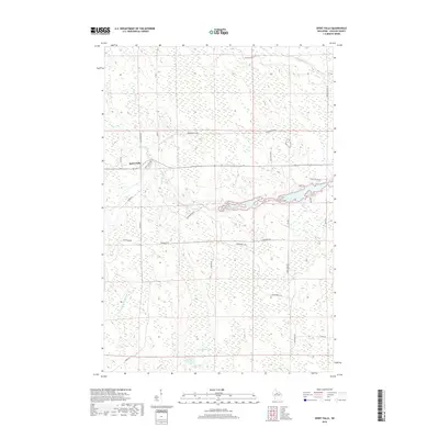 2018 Spirit Falls2018 Print · USGSLincoln County’s wetland and river systems are shown in great detail during the late 2010s. Researchers can trace the watercourses of Krueger Lake and the Somo River, or follow the reach of local corridors like Spirit Falls Rd and Co Rd T.
 - 2018 Map of Coffee Creek, 2018 Print
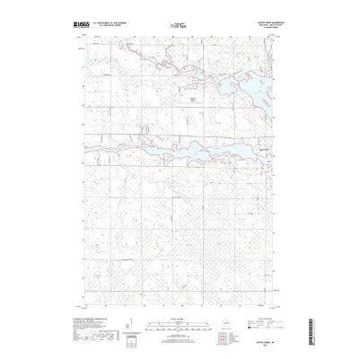 2018 Coffee Creek2018 Print · USGSThe Northwoods of Lincoln County are defined by vast water systems and the settlement at West Kraft in the late 2010s. Trace the intricate shoreline of Lake Mohawksin and the Spirit River Flowage alongside landmarks like the Tomahawk Regional Airport.
 - 2022 Map of Natzke Camp, 2022 Print
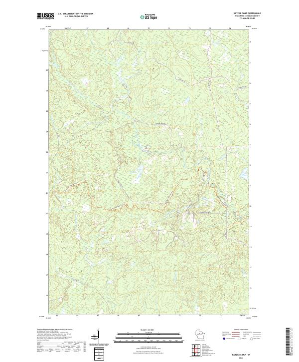 2022 Natzke Camp2022 Print · USGSLincoln County’s forest and river systems are documented here in the early twenty-first century, highlighting a landscape defined by complex waterways and recreational trails. Researchers can trace the path of the Ice Age National Scenic Trl and find remote water bodies like New Wood Flowage and June Lake.
Showing maps 1-25 of 30
Top cities near Harding
- Merrill historical maps
- Tomahawk historical maps
- Bradley historical maps
- Maine historical maps
- Pine River historical maps
- Hamburg historical maps
See more
Frequently asked questions
- What are the different types of historical maps available for Harding?
- What is the oldest map of Harding?
- Where can I purchase historical maps of Harding for my home or office?
- Where can I download high-res historical maps of Harding?
- Are there historical topographic maps available for Harding?
- Is there historical aerial imagery available for Harding?
- Where are historical maps of Harding sourced from?