Old Maps of Three Lakes, Wisconsin for Genealogy
Trace your family roots with 44 historic maps of Three Lakes. These high-res maps reveal old neighborhoods, homesites, landmarks, and streets — helping you uncover where your ancestors lived and how the area evolved over time.
- Explore historic neighborhoods: Identify where your relatives may have lived in the 1800s or 1900s.
- Compare maps over time: Trace the changes in streets, buildings, and landmarks for multi-generational research.
- Perfect for genealogy & ancestry research: Used by family historians and researchers to map out lineage and migration.
These maps are an incredible resource for exploring your personal connection to Three Lakes's past.
Three Lakes, WI maps
(44)- 1928 Map of Three Lakes
 1928 Three Lakes1928 Print · USGSThe Northwoods of Vilas and Oneida Counties come into focus in the late 1920s as early motor roads begin to connect the region's vast chain of lakes. Genealogists and local historians can locate early landmarks like Mayo Sch, the settlement of Hutchinson, and the original footprints of Eagle River and Three Lakes.
 - 1938 Map of Three Lakes, 1956 Print
 1938 Three Lakes1956 Print · USGSThe lake country of Oneida and Vilas counties is shown here in the late 1930s, capturing the early layout of regional resorts and logging outposts. Genealogists can trace family footprints near Three Lakes, Sanborn Sch, and the Chicago and Northwestern rail line.2 unique versions available
 - 1940 Map of Monico, 1955 Print
 1940 Monico1955 Print · USGSThe Northwoods of Oneida and Forest counties are captured here just before the mid-century, defined by the crossing of major rail lines and a maze of glacial lakes. Genealogists and researchers can trace the early footprints of Monico, Jennings, and Nashville, or locate local landmarks like Forest Home Cem.
 - 1945 Map of Three Lakes, 1946 Print
 1945 Three Lakes1946 Print · USGSThe Wisconsin Northwoods are seen here during the mid-1940s, a landscape defined by a sprawling lakeland and the Chicago and Northwestern railroad. Genealogists and historians can trace the early layout of Three Lakes and find rural landmarks like Evergreen Sch and Jones Dam.3 unique versions available
 - 1950 Map of Monico
 1950 Monico1950 Print · USGSOneida County at mid-century is a landscape of glacial lakes and critical rail junctions during the height of the timber and transport era. Researchers can trace rural school locations like Wolf River Sch and rail outposts including Starks, Gagen, and Lennox.
 - 1954 Map of Iron Mountain, 1964 Print
 1954 Iron Mountain1964 Print · USGSUpper Michigan and Northeastern Wisconsin are shown in detail during the mid-fifties, when the logging and mining economies still moved by rail. Trace the rail lines of the Soo Line to remote stops like Koepenick Station or explore the Iron Range near Iron Mountain.2 unique versions available
 - 1959 Map of Iron Mountain
 1959 Iron Mountain1959 Print · USGSThe northwoods of Wisconsin and the Michigan border are captured here in the mid-fifties, showing a landscape defined by timber, water, and rail. Researchers can trace historic junctions like Hiles Junction, the expansive Nicolet National Forest, and lakefront settlements from Rhinelander to Tomahawk.2 unique versions available
 - 1965 Map of Monico NE, 1966 Print
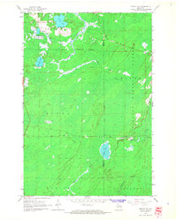 1965 Monico NE1966 Print · USGSOneida County in the mid-1960s remains a landscape of deep timber and glacial water at the edge of the Nicolet National Forest. Genealogists and historians can trace the rail-reliant community of Atkins and early agricultural sites like the Cranberry Bogs near Three Lakes.2 unique versions available
 - 1965 Map of Starks, 1966 Print
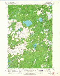 1965 Starks1966 Print · USGSOneida County's Northwoods character is on full display in the mid-sixties, defined by its rail junctions and glacial lake basins. Genealogists and local historians can trace the foundations of Starks and Gagen, noting the locations of Stella Sch and Townhall.2 unique versions available
 - 1970 Map of Three Lakes, 1972 Print
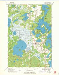 1970 Three Lakes1972 Print · USGSOneida County's lake country is captured here in the early seventies, showcasing a landscape of sprawling wetlands and growing lakeside communities. Genealogists and historians can trace the Chicago and North Western rail line and locate landmarks like the Seventh Day Adventist church or the Drive-in Theater.2 unique versions available
 - 1970 Map of Eagle River East, 1972 Print
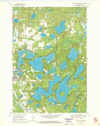 1970 Eagle River East1972 Print · USGSThe Eagle River chain of lakes is shown here at the height of its mid-century recreation era, centered on the historic town and rail line. Researchers can trace the development of the shoreline through many named summer camps and landmarks like Burnt Rollways Dam, Eagle Lake, and Camp Manito-wish.3 unique versions available
 - 1970 Map of Julia Lake, 1972 Print
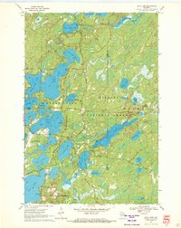 1970 Julia Lake1972 Print · USGSOneida County's interconnected lake chains are captured here in the early seventies as the area grew into a recreational hub. Researchers can trace historic routes like Military Road and locate local landmarks such as Three Lakes Municipal Airport and Big Stone Lake.2 unique versions available
 - 1970 Map of Anvil Lake, 1972 Print
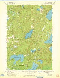 1970 Anvil Lake1972 Print · USGSThe Nicolet National Forest at the start of the 1970s reveals a pristine landscape of glacial lakes and timber. Trace early recreation sites and forest infrastructure like the Anvil Lake Lookout Tower and Military Road.2 unique versions available
 - 1989 Map of Rhinelander, 1990 Print
 1989 Rhinelander1990 Print · USGSThe Wisconsin Northwoods are captured here in the late eighties, showing a landscape defined by water and timber management. Researchers can trace the Soo Line rail corridors and find local landmarks like Rainbow Flowage, Pelican Lake, and the Rhinelander-Oneida Co Airport.
 - 2010 Map of Starks, 2010 Print
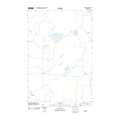 2010 Starks2010 Print · USGSOneida County's lakeland terrain is shown here in the early twenty-first century, featuring a dense network of glacial waters and small settlements. Researchers can trace local landmarks like the Piehl Lookout Tower, the North Pelican Lake 1909C361 Dam, and the crossroads at Gagen.
 - 2010 Map of Three Lakes, 2010 Print
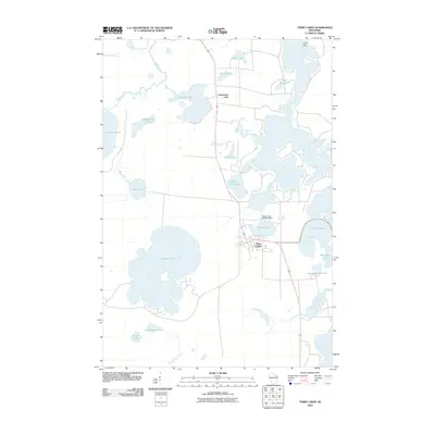 2010 Three Lakes2010 Print · USGSOneida County's lake country is captured in the early twenty-first century, showing the established communities of Three Lakes and Clearwater Lake. Trace the shoreline developments of Thunder Lake and find landmarks like Honey Rock Camp or the Maple Lake 2WP487 Dam.
 - 2011 Map of Eagle River East, 2011 Print
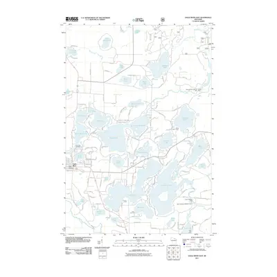 2011 Eagle River East2011 Print · USGSOneida County's lakeland terrain is intricately mapped here in the early twenty-first century, showing the dense network of waterways east of Eagle River. Genealogists and researchers can locate seasonal landmarks like Camp Marimeta and Honey Rock Camp, or trace the historical water levels controlled by the Burnt Rollways Dam.
 - 2011 Map of Anvil Lake, 2011 Print
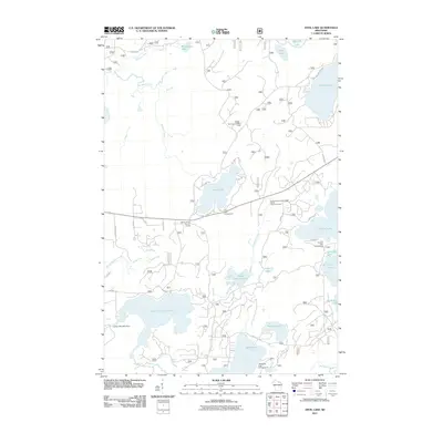 2011 Anvil Lake2011 Print · USGSNorthern Wisconsin lake country is documented here in the early twenty-first century, showing the dense network of water bodies and camps. Trace historic routes along the Military Road or locate the Anvil Lake Lookout Tower.
 - 2011 Map of Monico NE, 2011 Print
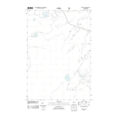 2011 Monico NE2011 Print · USGSOneida County's Northwoods are captured here in the early 21st century, showing the forest and water network near Three Lakes. Researchers can trace the wetlands and roads around Atkins, including Wildcat Creek Impoundment and Margaret Lake.
 - 2011 Map of Julia Lake, 2011 Print
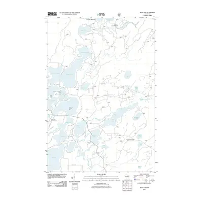 2011 Julia Lake2011 Print · USGSThree Lakes and the surrounding Oneida County lake country are shown at the height of their recreational development in the early 21st century. Trace local landmarks like the Three Lakes Seaplane Base, the Laurel Lake Campground, and the Seven Mile 1909c361 Dam.
 - 2013 Map of Eagle River East, 2013 Print
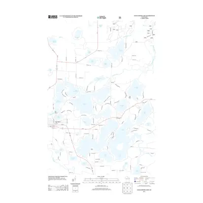 2013 Eagle River East2013 Print · USGSThe lake-country of Oneida County is captured here in the early twenty-first century, showing the dense network of summer camps and shorefront homes. Researchers can trace the layout of Eagle River and find local landmarks like Camp Marimeta and the Big T Dock and Ramp.
 - 2013 Map of Monico NE, 2013 Print
 2013 Monico NE2013 Print · USGSWisconsin's Northwoods are captured here in the early twenty-first century, showing a landscape of glacial lakes and forest roads. Genealogists and hunters can trace the area around Atkins or find access points via Hunting Camp Rd and State Farm Rd.
 - 2013 Map of Three Lakes, 2013 Print
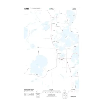 2013 Three Lakes2013 Print · USGSOneida County's Northwoods landscape is defined by its vast network of glacial water bodies and seasonal residences during the early 2010s. Local historians can trace the shorelines of Thunder Lake, locate the community of Three Lakes, and explore routes like Maple Lake Dam Rd.
 - 2013 Map of Julia Lake, 2013 Print
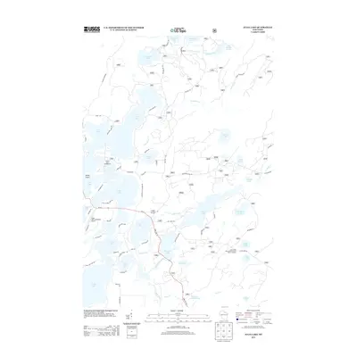 2013 Julia Lake2013 Print · USGSThe Wisconsin Northwoods are seen in detail during the early 2010s, showing a landscape defined by glacial lakes and timber. Researchers can trace historical routes like Military Rd and identify local landmarks such as Three Lakes Municipal Airport and Denby Island.
 - 2013 Map of Anvil Lake, 2013 Print
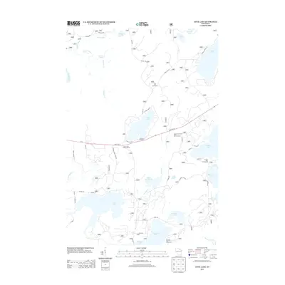 2013 Anvil Lake2013 Print · USGSThe Northwoods of Wisconsin are shown in the early twenty-first century, centered on the lakes and forests of Oneida County. Researchers can trace historic routes like Military Road and locate landmarks such as the Anvil Lake Lookout Tower and Blackjack Springs.
Showing maps 1-25 of 44
Top cities near Three Lakes
- Crandon historical maps
- Sugar Camp historical maps
- Washington historical maps
- Eagle River historical maps
- Phelps historical maps
- Conover historical maps
See more
Top neighborhoods of Three Lakes
Frequently asked questions
- What are the different types of historical maps available for Three Lakes?
- What is the oldest map of Three Lakes?
- Where can I purchase historical maps of Three Lakes for my home or office?
- Where can I download high-res historical maps of Three Lakes?
- Are there historical topographic maps available for Three Lakes?
- Is there historical aerial imagery available for Three Lakes?
- Where are historical maps of Three Lakes sourced from?