2010s Maps of Rib Lake, Wisconsin
Explore 16 historic maps of Rib Lake from the 2010s. These maps offer a rare glimpse into what life looked like during the 2010s — showing old roads, neighborhoods, homes, and landmarks that have changed or disappeared over time.
Whether you're researching your family's past, planning a metal detecting trip, or studying how Rib Lake's landscape evolved across the 2010s, these high-resolution maps are a powerful tool for exploring the history of this region.
- Focus on a specific era: All maps on this page are from the 2010s, giving you a focused view of this time period.
- See what’s changed: Compare century-old streets, trails, and buildings to today's modern landscape using overlays and satellite layers.
- Research with precision: Use these maps for genealogy, historical research, land use analysis, or educational projects.
- View, download, or print: Maps are fully viewable online in high resolution, and can be downloaded or printed for your own records.
Start exploring Rib Lake's history through authentic maps from the 2010s. This is your window into the past.
Rib Lake, WI maps
(16)- 2010 Map of Wood Lake, 2010 Print
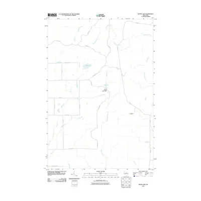 2010 Wood Lake2010 Print · USGSLincoln County’s timber and water systems are on full display here in the first decade of the new millennium. You can trace the rural crossroads at New Wood Junction or study the hydraulic engineering of the Camp 8 Flowage 3WR341 Dam and 1 Reservoir.
 - 2010 Map of Spirit, 2010 Print
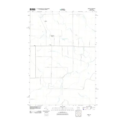 2010 Spirit2010 Print · USGSSpirit and its surrounding townships in Price County are shown here at the start of the twenty-first century. Genealogists and local historians can trace family locations near Hillcrest Cemetery or along historic routes like German Settlement Rd and Cheese Factory Rd.
 - 2010 Map of Timms Hill, 2010 Print
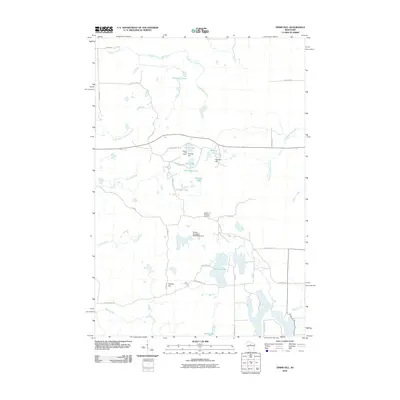 2010 Timms Hill2010 Print · USGSThis Taylor County landscape near Westboro centers on the state's highest point as it appeared in the early 21st century. Researchers can locate family landmarks like the Garden of Memory Cemetery or trace the drainage of Timms Lake and the Spirit River.
 - 2010 Map of Rib Lake, 2010 Print
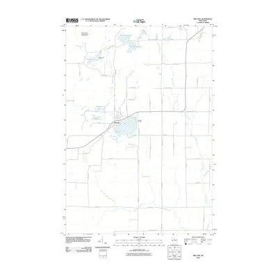 2010 Rib Lake2010 Print · USGSRib Lake is shown here at the start of the decade, centered around the sprawling waters of the Big Rib River and its northern lakes. Genealogists and local historians can trace the lakeside Lake View Cemetery or locate landmarks like Camp Forest Springs and the Dr Walther W Meyer Number 3 G4914 Dam.
 - 2013 Map of Spirit, 2013 Print
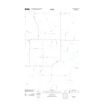 2013 Spirit2013 Print · USGSPrice County settlement and dairy history are etched into the landscape of Spirit in the early 2000s. Genealogists and local historians can trace family-named routes and heritage sites along German Settlement Rd, Cheese Factory Rd, and the banks of the Spirit River.
 - 2013 Map of Rib Lake, 2013 Print
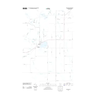 2013 Rib Lake2013 Print · USGSRib Lake and the surrounding Northwoods glaciated terrain are captured here in the early twenty-first century. Researchers can trace local landmarks like Camp Forest Springs, follow the Ice Age Natl Scenic Trl, and explore the riverbanks of the Big Rib River.
 - 2013 Map of Wood Lake, 2013 Print
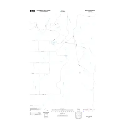 2013 Wood Lake2013 Print · USGSLincoln County’s glacial landscape and timber history are preserved in this recent survey of the Wisconsin Northwoods. Outdoorsmen and local historians can trace the Ice Age Natl Scenic Trl as it weaves past Wood Lake and the logging-era remnants near New Wood Junction.
 - 2013 Map of Timms Hill, 2013 Print
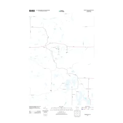 2013 Timms Hill2013 Print · USGSWisconsin's highest elevations are captured in this early 2010s survey of Taylor County’s northern woods. Researchers can trace the path of the Ice Age Trl as it climbs past Timms Hill, the Ogema Fire Tower, and dozens of glacial waters like Thirtyfive Lakes.
 - 2015 Map of Rib Lake, 2015 Print
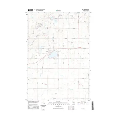 2015 Rib Lake2015 Print · USGSRib Lake and the surrounding Taylor County woodlands are captured here during the mid-2010s, showing a landscape defined by glacial lakes and timber heritage. Researchers can trace local history at Lake View Cemetery or follow the winding path of the Ice Age National Scenic Trail past Kennedy Lake.
 - 2015 Map of Wood Lake, 2015 Print
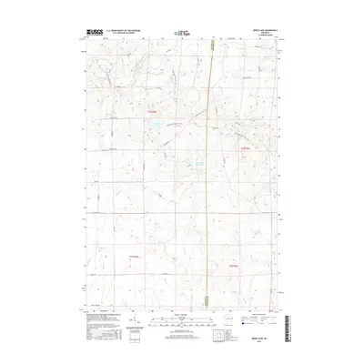 2015 Wood Lake2015 Print · USGSTaylor and Lincoln counties are shown here as they appeared in 2015, dominated by the glaciated Northwoods and forest trails. Trace the Ice Age National Scenic Trail as it passes near Wood Lake and the Camp Eight Flowage.
 - 2015 Map of Timms Hill, 2015 Print
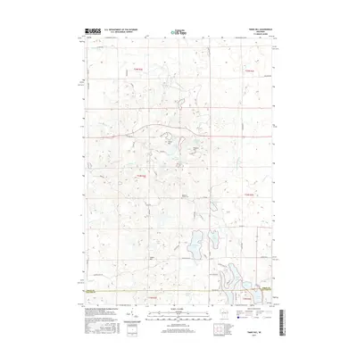 2015 Timms Hill2015 Print · USGSWisconsin's highest elevation and the surrounding lake-strewn glaciated landscape are mapped here in the mid-2010s. Researchers can trace the winding Ice Age Trl as it passes Timms Hill and Pearson Hill near the Garden of Memory Cem.
 - 2015 Map of Spirit, 2015 Print
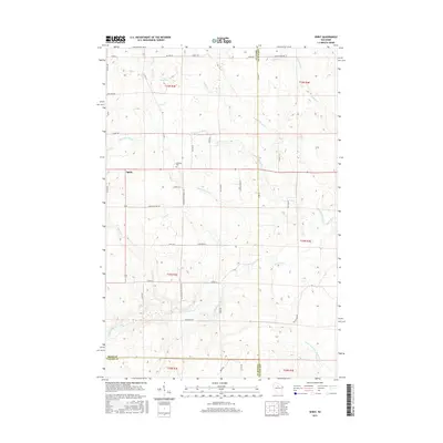 2015 Spirit2015 Print · USGSThe rural settlement of Spirit and its surrounding timberlands are captured here in the mid-2010s at the junction of three counties. Researchers can trace ancestral footprints along N German Settlement Rd or locate the historic Hillcrest Cem and Cheese Factory Rd.
 - 2018 Map of Wood Lake, 2018 Print
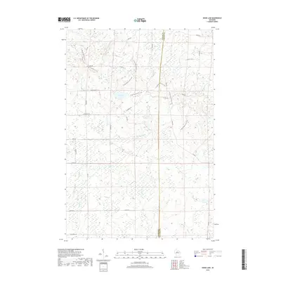 2018 Wood Lake2018 Print · USGSThe borderlands of Taylor and Lincoln counties are shown here in the late 2010s, defined by the winding path of the Ice Age National Scenic Trail. Outdoor historians and hikers can trace routes past Wood Lake, the Camp Eight Flowage, and N Fork Copper River.
 - 2018 Map of Rib Lake, 2018 Print
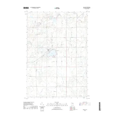 2018 Rib Lake2018 Print · USGSRib Lake and the surrounding Taylor County woodlands are captured here in the late 2010s. Researchers can trace local landmarks like Lakeview Cem and the winding path of the Ice Age National Scenic Trail through the glacial terrain.
 - 2018 Map of Spirit, 2018 Print
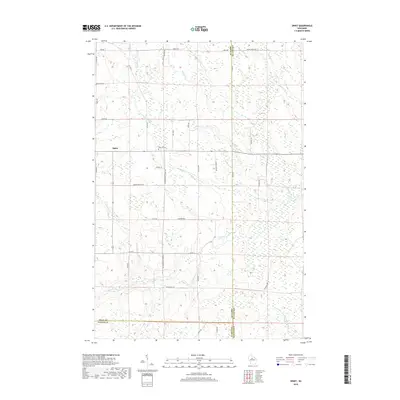 2018 Spirit2018 Print · USGSWisconsin's rural dairy and immigrant heritage is preserved here in the late twenty-teens, where Price, Lincoln, and Taylor counties converge. Researchers can trace local lineage near Hillcrest Cemetery and explore the historic layout of N German Settlement Road and Cheese Factory Road.
 - 2018 Map of Timms Hill, 2018 Print
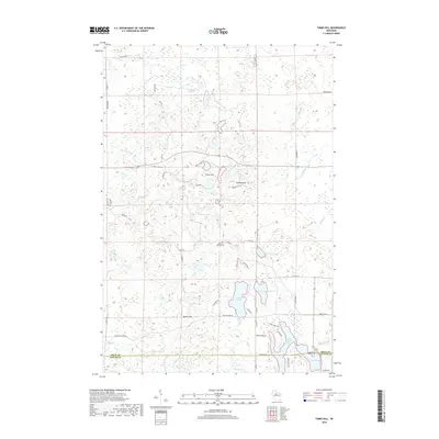 2018 Timms Hill2018 Print · USGSHigh-elevation terrain and glacial lakes dominate the Wisconsin Northwoods in this late 2010s survey of Price and Taylor Counties. Genealogists and hikers can trace the geography around Timms Hill and Pearson Hill, or locate the Garden of Memory Cem.
End of results
Showing maps 1-16 of 16
Top cities near Rib Lake
- Medford historical maps
- Little Black historical maps
- Hamburg historical maps
- Ogema historical maps
- Rib Lake historical maps
- Chelsea historical maps
See more
Frequently asked questions
- What are the different types of historical maps available for Rib Lake?
- What is the oldest map of Rib Lake?
- Where can I purchase historical maps of Rib Lake for my home or office?
- Where can I download high-res historical maps of Rib Lake?
- Are there historical topographic maps available for Rib Lake?
- Is there historical aerial imagery available for Rib Lake?
- Where are historical maps of Rib Lake sourced from?