Old Maps of Rib Lake, Wisconsin for Metal Detecting
Plan your next treasure hunt with 30 historic maps of Rib Lake. Find old homesites, ghost towns, trails, and gathering spots that may be lost to time — perfect for identifying promising metal detecting locations.
- Locate forgotten sites: Uncover places like long-lost settlements, abandoned rail lines, or gathering spots.
- Plan better hunts: Use map overlays combined with LiDAR or satellite views to narrow in on historically rich areas.
- Made for detectorists: Thousands of hobbyists use these maps to discover relics, coins, and hidden history.
Use these historic maps to boost your research and find new opportunities beneath the surface of Rib Lake.
Rib Lake, WI maps
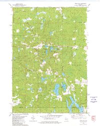
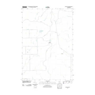
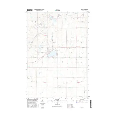
(30)- 1945 Map of Rib Lake
 1945 Rib Lake1945 Print · USGSNorthern Wisconsin lake country is captured here during the 1940s, showing a landscape of timber and township life. Genealogists can locate rural landmarks like Spirit Town Hall, Mission Ch, and schools like Ring Sch or Stone Lake Sch.
 - 1947 Map of Rib Lake, 1956 Print
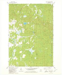
 1947 Rib Lake1956 Print · USGSTaylor and Price Counties come into focus during the late 1940s, a period when the timber industry and small-town life shaped this north-central Wisconsin landscape. Genealogists can trace family footprints through rural landmarks like Mission Ch, Stone Lake Sch, and the village of Rib Lake.
 - 1949 Map of Rib Lake
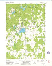
 1949 Rib Lake1949 Print · USGSRib Lake and the surrounding Northwoods townships appear here in the late 1940s, just as the rural schoolhouse system remained a central pillar of the community. Genealogists and historians can locate numerous local landmarks like Ring Sch, the Wilderness Lookout Tower, and the Mission Ch.
 - 1953 Map of Rice Lake, 1967 Print
 1953 Rice Lake1967 Print · USGSNorthwest Wisconsin during the mid-fifties reveals a landscape defined by timber, rail, and water. Genealogists and historians can trace the development of river towns like Ladysmith and Rice Lake along the Soo Line and Chicago and North Western railroads.2 unique versions available
 - 1959 Map of Rice Lake
 1959 Rice Lake1959 Print · USGSNorthwest Wisconsin in the late fifties was a land of expanding road networks and deep-seated timber history. Genealogists and historians can trace rail lines like the Soo Line RR and Chicago St Paul Minneapolis and Omaha Ry as they link settlements from Spooner to Medford.
 - 1979 Map of Timms Hill, 1980 Print
 1979 Timms Hill1980 Print · USGSThe Wisconsin Northwoods are captured here in the late seventies, centered on the state's highest elevation. Local historians can locate the Garden of Memory Church, trace old routes like Goetzke Road, and explore the shoreline of Spirit Lake.2 unique versions available
 - 1979 Map of Rib Lake, 1980 Print
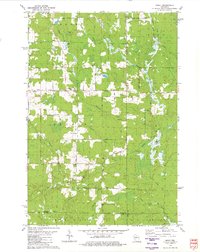
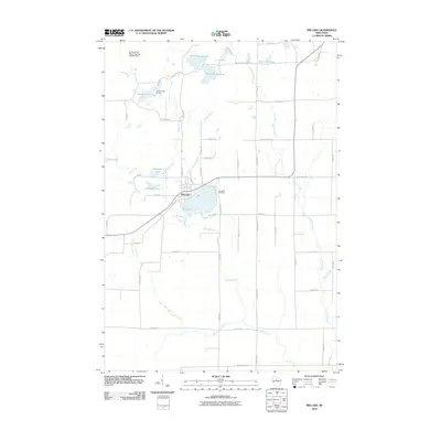
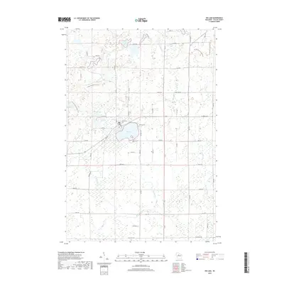
 1979 Rib Lake1980 Print · USGSThe village of Rib Lake and its surrounding lake-dotted landscape are documented here in the late seventies. Family historians and local researchers can trace sites like Lake View Cem, the rural St Ann Ch, and the defunct Old Railroad Grade.
 - 1979 Map of Spirit, 1980 Print
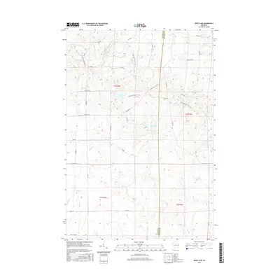
 1979 Spirit1980 Print · USGSThe township of Spirit and its surrounding rural countryside are captured in the late seventies as a community of small farms and timberlands. Local historians can trace old homestead access via Settlement Road, visit the Hillcrest Cem, and locate the Old Railroad Grade near Squaw Creek.2 unique versions available
 - 1979 Map of Wood Lake, 1980 Print
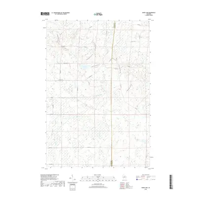
 1979 Wood Lake1980 Print · USGSTaylor and Lincoln Counties appear in the late seventies as a landscape of timber-era remnants and sprawling wetlands. Genealogists and historians can trace the Old Railroad Grade and Old RR GR through the terrain near Wood Lake and Camp Eight Flowage.2 unique versions available
 - 1980 Map of Medford
 1980 Medford1980 Print · USGSNorth-central Wisconsin in the early eighties shows a landscape of dense timber and rail-linked settlements. Genealogists and historians can trace the Soo Line through towns like Medford and Westboro or locate family homesteads near Perkinstown and Athens.
 - 2010 Map of Wood Lake, 2010 Print
 2010 Wood Lake2010 Print · USGSCovers Rib Lake, including Corning, Greenwood, and other nearby areas
 - 2010 Map of Spirit, 2010 Print
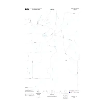
 2010 Spirit2010 Print · USGSCovers Rib Lake, including Spirit, Corning, and other nearby areas
 - 2010 Map of Timms Hill, 2010 Print
 2010 Timms Hill2010 Print · USGSCovers Rib Lake, including Westboro, Spirit, and other nearby areas
 - 2010 Map of Rib Lake, 2010 Print
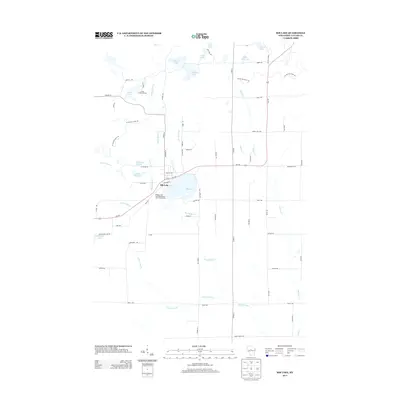
 2010 Rib Lake2010 Print · USGSCovers Rib Lake, including Westboro, Greenwood, and other nearby areas
 - 2013 Map of Spirit, 2013 Print
 2013 Spirit2013 Print · USGSCovers Rib Lake, including Spirit, Corning, and other nearby areas
 - 2013 Map of Rib Lake, 2013 Print
 2013 Rib Lake2013 Print · USGSCovers Rib Lake, including Westboro, Greenwood, and other nearby areas
 - 2013 Map of Wood Lake, 2013 Print
 2013 Wood Lake2013 Print · USGSCovers Rib Lake, including Corning, Greenwood, and other nearby areas
 - 2013 Map of Timms Hill, 2013 Print
 2013 Timms Hill2013 Print · USGSCovers Rib Lake, including Westboro, Spirit, and other nearby areas
 - 2015 Map of Rib Lake, 2015 Print
 2015 Rib Lake2015 Print · USGSCovers Rib Lake, including Westboro, Greenwood, and other nearby areas
 - 2015 Map of Wood Lake, 2015 Print
 2015 Wood Lake2015 Print · USGSCovers Rib Lake, including Corning, Greenwood, and other nearby areas
 - 2015 Map of Timms Hill, 2015 Print
 2015 Timms Hill2015 Print · USGSCovers Rib Lake, including Westboro, Spirit, and other nearby areas
 - 2015 Map of Spirit, 2015 Print
 2015 Spirit2015 Print · USGSCovers Rib Lake, including Spirit, Corning, and other nearby areas
 - 2018 Map of Wood Lake, 2018 Print
 2018 Wood Lake2018 Print · USGSCovers Rib Lake, including Corning, Greenwood, and other nearby areas
 - 2018 Map of Rib Lake, 2018 Print
 2018 Rib Lake2018 Print · USGSCovers Rib Lake, including Westboro, Greenwood, and other nearby areas
 - 2018 Map of Spirit, 2018 Print
 2018 Spirit2018 Print · USGSCovers Rib Lake, including Spirit, Corning, and other nearby areas
Showing maps 1-25 of 30
Top cities near Rib Lake
- Medford historical maps
- Little Black historical maps
- Hamburg historical maps
- Ogema historical maps
- Rib Lake historical maps
- Chelsea historical maps
See more
Frequently asked questions
- What are the different types of historical maps available for Rib Lake?
- What is the oldest map of Rib Lake?
- Where can I purchase historical maps of Rib Lake for my home or office?
- Where can I download high-res historical maps of Rib Lake?
- Are there historical topographic maps available for Rib Lake?
- Is there historical aerial imagery available for Rib Lake?
- Where are historical maps of Rib Lake sourced from?