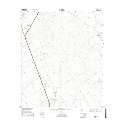
2016 Map of Abbott
USGS Topo · Published 2016About this map
The town of Abbott anchors this Central Texas landscape, situated along the primary transportation corridor that bisects the region. This 2016 survey illustrates the persistent agricultural and ranching character of Hill County, where a dense grid of county roads connects outlying settlements like Bynum, Chatt, and Winslow. Small family and community burial sites are scattered across the terrain, including the Abbott Cem, Jessie Cem, and the more isolated Fatina Cem, offering essential touchstones for local genealogical research.
Find a feature on this map
89 named features on this map. Tap any name to fly to it.
Don’t see what you’re looking for? This feature index may not catch every label — zoom into the map to look around manually.
Map Details
Editions of this 2016 Abbott Map
This is the sole edition of this map. No revisions or reprints were ever made.
Other maps of this area

1891 · Cleburne
USGS Topo · 1:125,000

1892 · Waco
USGS Topo · 1:125,000

1894 · Cleburne
USGS Topo · 1:125,000

1920 · Waco
USGS Topo · 1:125,000

1954 · Dallas
USGS Topo · 1:250,000

1954 · Waco
USGS Topo · 1:250,000

1955 · Waco
USGS Topo · 1:250,000

1956 · Penelope
USGS Topo · 1:24,000

1956 · Abbott
USGS Topo · 1:24,000

1956 · West
USGS Topo · 1:24,000