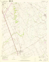
1956 Map of Abbott
USGS Topo · Published 1979About this map
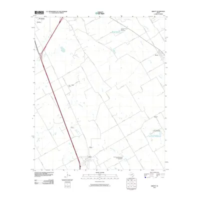
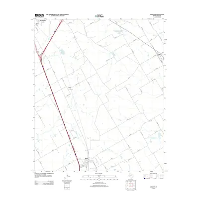
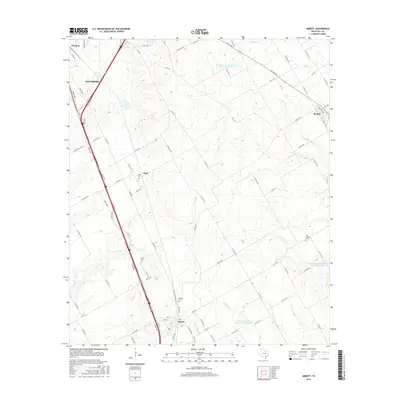
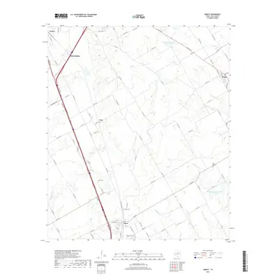
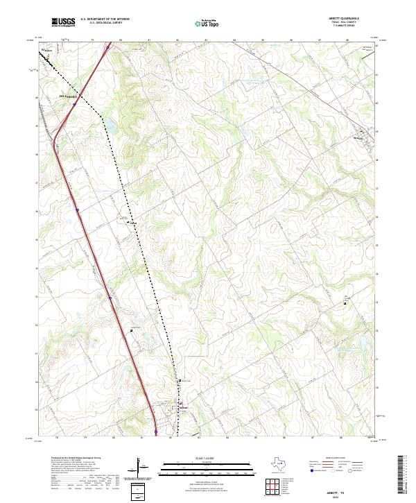
The Missouri-Kansas-Texas railroad corridor anchors this agricultural landscape of Hill County, running parallel to the Blue Star Memorial Highway. The town of Abbott serves as a central hub, surrounded by smaller settlements and rural landmarks like Chatt and Winslow. For genealogists, the map preserves the locations of several burial grounds, including Jessie Cem, Fatima Cem, and Abbott Cem, which are scattered among the drainage basins of Cobb Creek and Cottonwood Creek. An Old Railroad Grade in the northern portion indicates a shifting transportation network, while numerous Caliche Pit sites suggest local extractive activity. The topography is defined by the gentle dissection of the prairie by creek systems such as Brookeen Creek and Alligator Creek, illustrating the rural character of central Texas in the mid-20th century.
Find a feature on this map
21 named features on this map. Tap any name to fly to it.
Don’t see what you’re looking for? This feature index may not catch every label — zoom into the map to look around manually.
Map Details
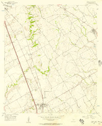
Editions of this 1956 Abbott Map
2 editions found
Historical Maps of Hillsboro Through Time
6 maps found