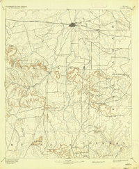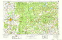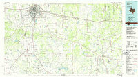
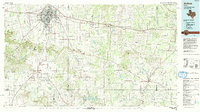
1985 Map of Abilene
USGS Topo · Published 1986About this map
The educational and military hub of Abilene anchors this mid-1980s landscape, where major institutions like Hardin-Simmons University, Abilene Christian College, and McMurry College are well-established. To the west, the expansive footprint of Dyess Air Force Base stands as a prominent feature, while the city's transport network is defined by the Missouri Pacific railroad and the Interstate 20 corridor. Outside the city, the terrain transitions into the Divide, a significant geographic break characterized by peaks such as Steamboat Mountain and Eagle Mountain.
Find a feature on this map
116 named features on this map. Tap any name to fly to it.
Don’t see what you’re looking for? This feature index may not catch every label — zoom into the map to look around manually.
Map Details
Editions of this 1985 Abilene Map
2 editions found
Historical Maps of Abilene Through Time
5 maps found