
1953 Map of Abiquiu
USGS Topo · Published 1954About this map
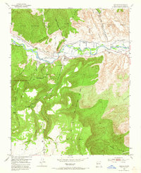
The Rio Chama valley anchors this northern New Mexico landscape, where centuries-old land divisions define the territory. The village of Abiquiu is positioned near the base of the massive Mesa de Abiquiu, surrounded by smaller settlements such as El Curuco, La Careda, and Rancho de Abiquiu. The map clearly delineates the complex borders of the Plaza Colorada Grant, Plaza Blanca Grant, and the Town of Abiquiu Grant, illustrating the enduring influence of Spanish colonial and Mexican-era land tenure.
Find a feature on this map
46 named features on this map. Tap any name to fly to it.
Don’t see what you’re looking for? This feature index may not catch every label — zoom into the map to look around manually.
Map Details
Editions of this 1953 Abiquiu Map
Other maps of this area

1918 · Abiquiu
USGS Topo · 1:125,000

1953 · Canones
USGS Topo · 1:24,000

1953 · Chili
USGS Topo · 1:24,000

1953 · Medanales
USGS Topo · 1:24,000

1953 · Vallecitos
USGS Topo · 1:24,000

1953 · Polvadera Peak
USGS Topo · 1:24,000

1953 · El Rito
USGS Topo · 1:24,000

1953 · Canjilon SE
USGS Topo · 1:24,000

1953 · Ghost Ranch
USGS Topo · 1:24,000

1953 · San Juan Pueblo
USGS Topo · 1:62,500