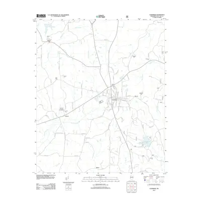
2012 Map of Ackerman
USGS Topo · Published 2012About this map
The Noxubee Hills provide the backdrop for this Choctaw County landscape, where the Yockanookany River and Besa Chitto Cr drain a terrain of small settlements and family cemeteries. Ackerman serves as the primary hub, its street grid organized near the crossing of local routes and the railroad corridor. Surrounding the town are several established rural communities, including Fentress and Chester, each with namesake burying grounds like Fentress Cem and Chester Cem that speak to generations of local residency.
Find a feature on this map
104 named features on this map. Tap any name to fly to it.
Don’t see what you’re looking for? This feature index may not catch every label — zoom into the map to look around manually.
Map Details
Editions of this 2012 Ackerman Map
This is the sole edition of this map. No revisions or reprints were ever made.
Other maps of this area

1953 · West Point
USGS Topo · 1:250,000

1958 · West Point
USGS Topo · 1:250,000

1963 · West Point
USGS Topo · 1:250,000

1966 · Weir
USGS Topo · 1:24,000

1966 · Tomnolen
USGS Topo · 1:24,000

1968 · Weir
USGS Topo · 1:62,500

1972 · Louisville North
USGS Topo · 1:24,000

1972 · McCool
USGS Topo · 1:24,000

1972 · Highpoint
USGS Topo · 1:24,000

1972 · Double Springs
USGS Topo · 1:24,000